I never thought it would happen, but this section from Mallee to Portland is the last post of the eternal write-up for the Great South West Walk. I hiked it in winter last June, whilst accompanied by ever suffering hiking sidekick, the Smuffin. You’ll also be pleased to know this will be a rapid fire entry due the fact, well, nothing happened, plus we took a shortcut.
Before I get to that though, I should mention what’s been going on lately. Remember in my last post how I was heading to Wilsons Promontory? Well, I did get there, but abandoned in style. I’ve felt drained of energy for over a month and a 18.5 km walk on the first day left me so wrecked that I set-up my tent and went to bed at 5 pm without even attempting to eat. The next day was a case of ‘get me out of here’, so I went straight to the car. Via the 18.5 km again.
Talk about feeling wasted, so a quick blood test later has revealed my haemoglobin level is low and my CRAP level is high. Oh yeah, I love to abuse an acronym and CRAP is actually something I’ve never heard of (other than this blog), but it does have a Wikipedia page. Mind you, being told there’s an active inflammation somewhere in the body, but not knowing where, is a bit disappointing. The one bonus whilst feeling like rubbish is I haven’t seen any dead people lately, although I do jump a little whenever I see my housemate out the corner of my eye.
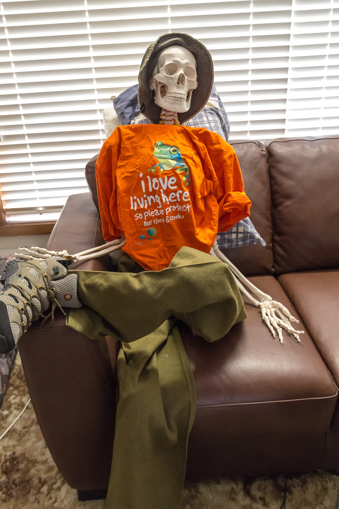
The end result is I’m off for more tests, which spells the end of any long distance hiking over the next month. Talk about depressing, but at least I can just reminisce about the GSWW whilst lying on the couch instead? So, here’s a post that’s written as I’m overdue for one and rather than enjoyment, it’s being done as a sense of duty. How did life come to this?!
Anyway, back to the GSWW and the night spent at the plush Mallee camp was eventful. My tent was set-up on a sandy tent platform, but unfortunately the ground was a little too soft and deep for my pegs. During the night a mild hurricane blew through, ripped the pegs out of the ground and suddenly I was left lying in a massive bivy bag. Have you ever tried to get out of a tent that’s collapsed? It was disappointing to say the least. I’d have a photo, but I was too freaked out in my half-awake stupor that I thought for a moment I’d been abducted by a large, blue, flapping material spaceship.
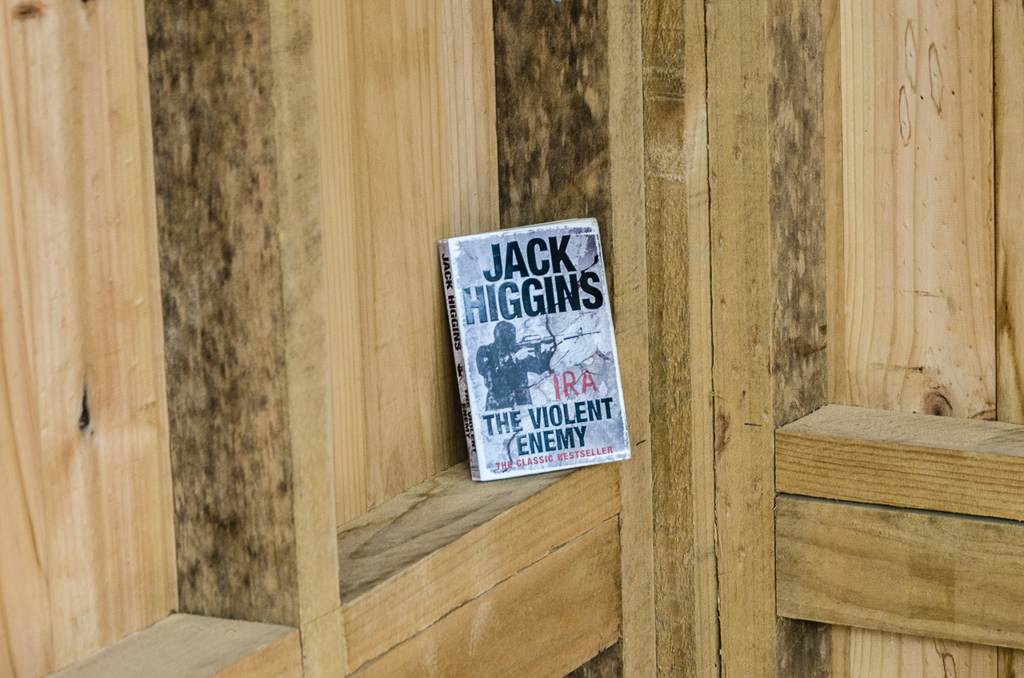
After escaping there was the final pack-up for the trip. Smuffin had finished the book he’d read for the week and as a gift to fellow hikers coming through, left it in the camp shelter. It was ‘trail magic’ of the dodgy kind. ‘Ulysses’ was way too big to lug along, so he settled for the next best thing. ‘The Violent Enemy’ by Jack Higgins of course.
By the notes, the walk back into Portland is around 22 km. We weren’t feeling inspired though when my track notes mention, “…passing inland of the rifle range where walkers are requested to keep to the track for their own safety…” Huh? We didn’t feel like getting brassed up by responsible shooters, so we elected to pull the pin and take the first available road back into Portland which reduced the day to about 15 km. Smuffin really wanted to do things casually, so he left the contents of his pack behind in a bush for collection later…
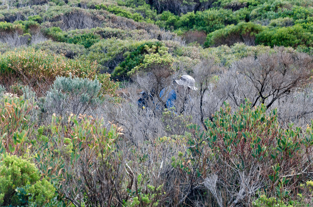
A $1000 worth of gear was hidden behind these bushes.
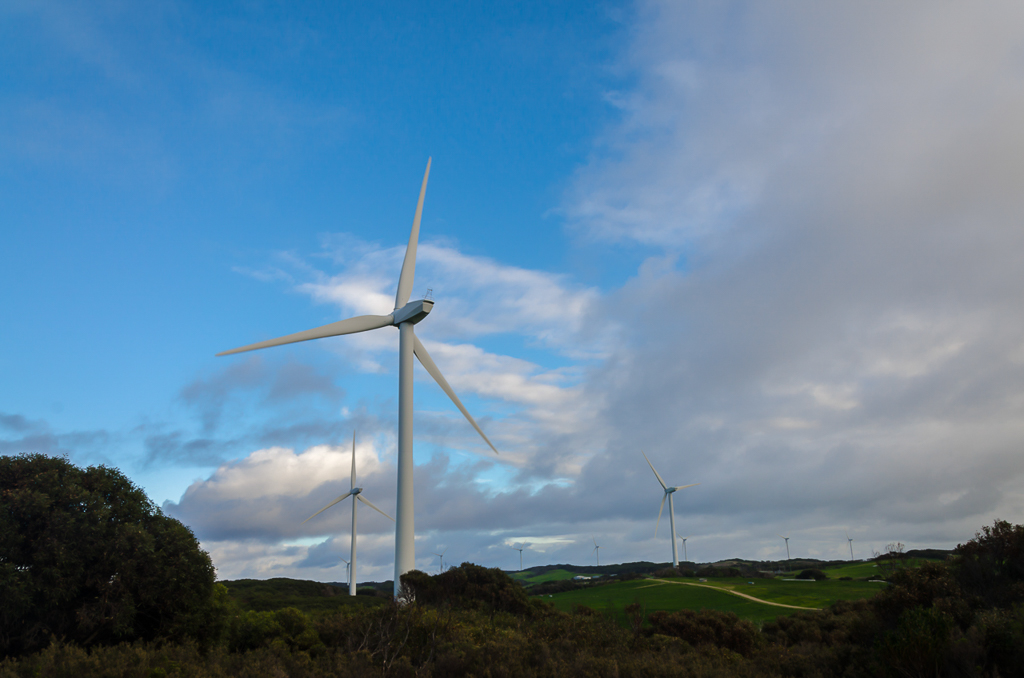
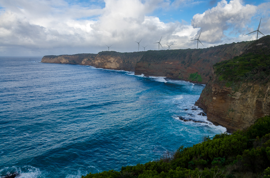
Heading off, we passed the ubiquitous wind turbines outside Portland…
…and then followed the coastline for a while. There was even time for some more rainbows..
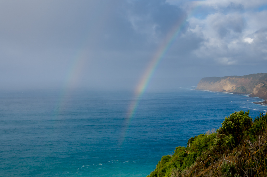
…whilst passing memorial plaques. We saw quite a few, during the days along the coast.
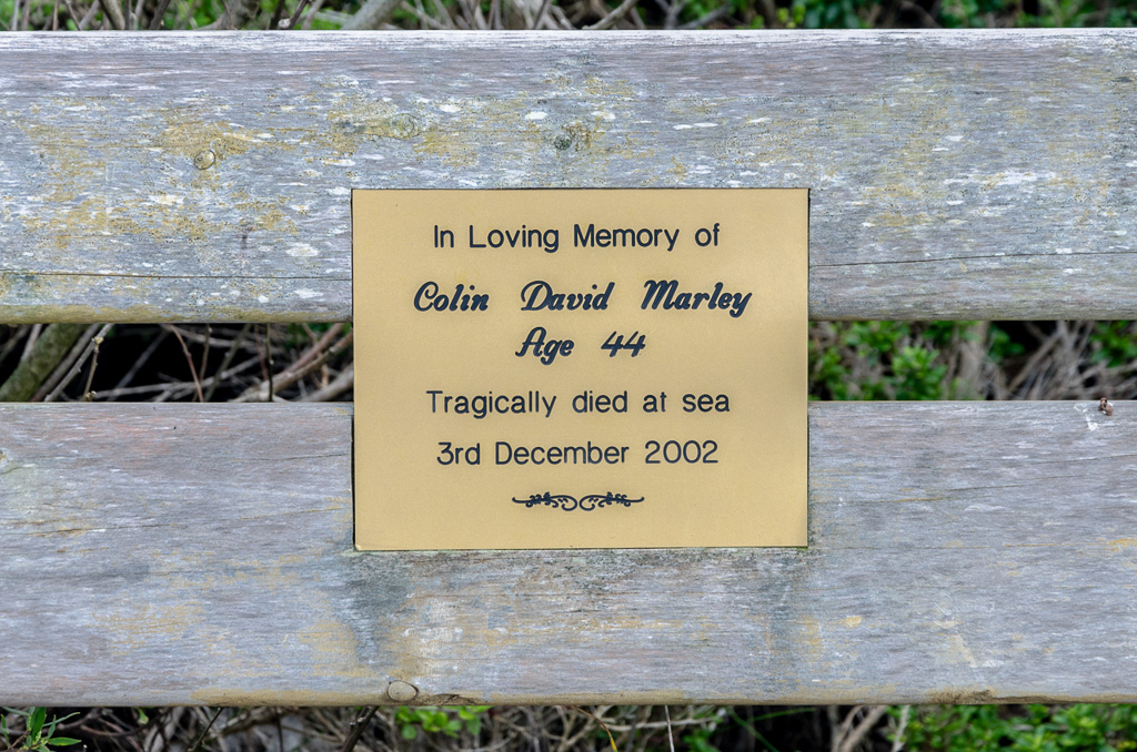
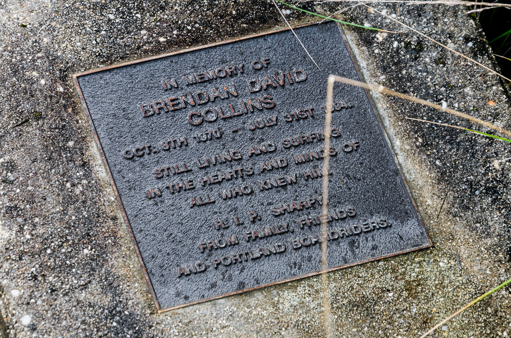
It was quite windy and a large swell resulted in breaking waves leaving a mist over the Alcoa Smelter…
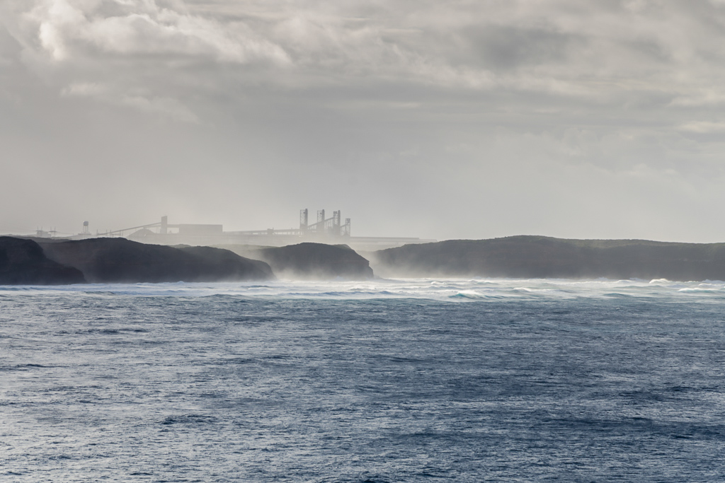
Leaving the peninsula and wind turbines behind…
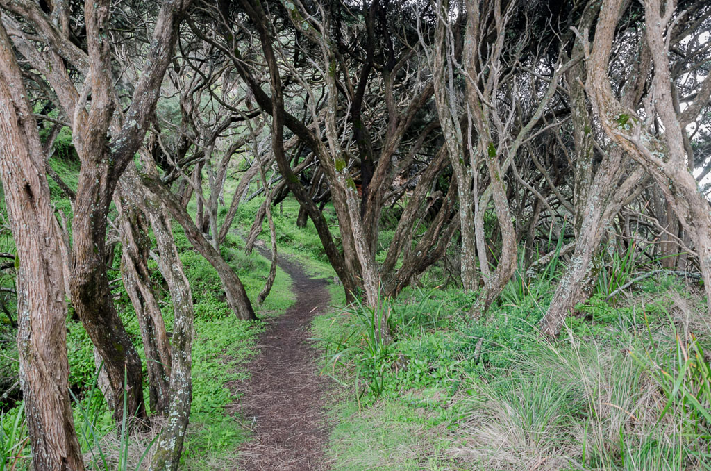
…we descended into a section called ‘the enchanted forest’. Essentially, it’s lots of gnarly trees and I took quite a few photos. Unfortunately for me, the lens had some fogging fiasco going on, so most are unworthy of blog material. Here’s a couple that are okay, so you can get an idea of the terrain…
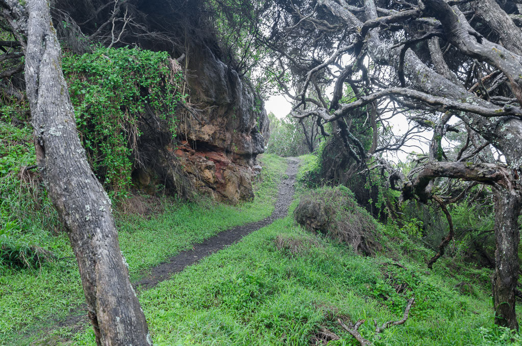
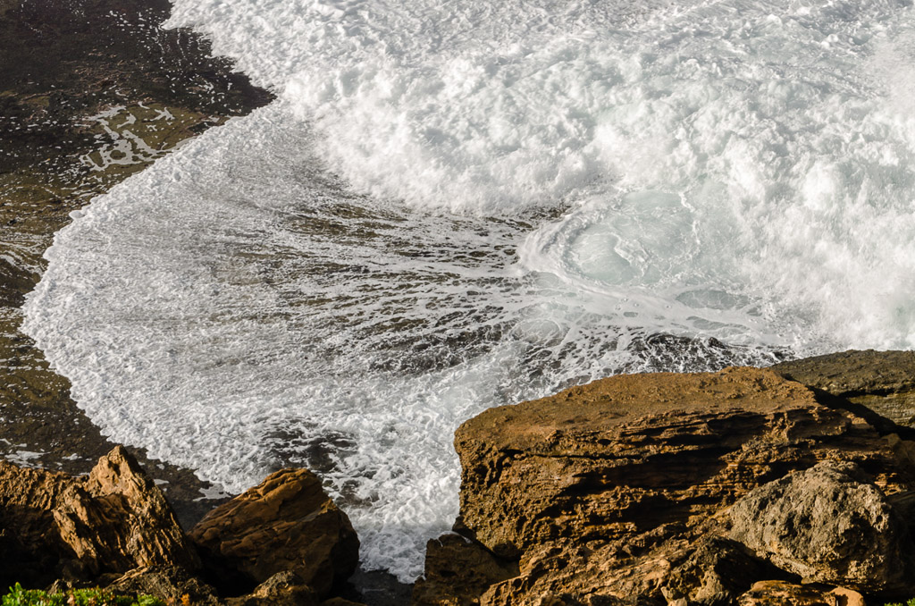
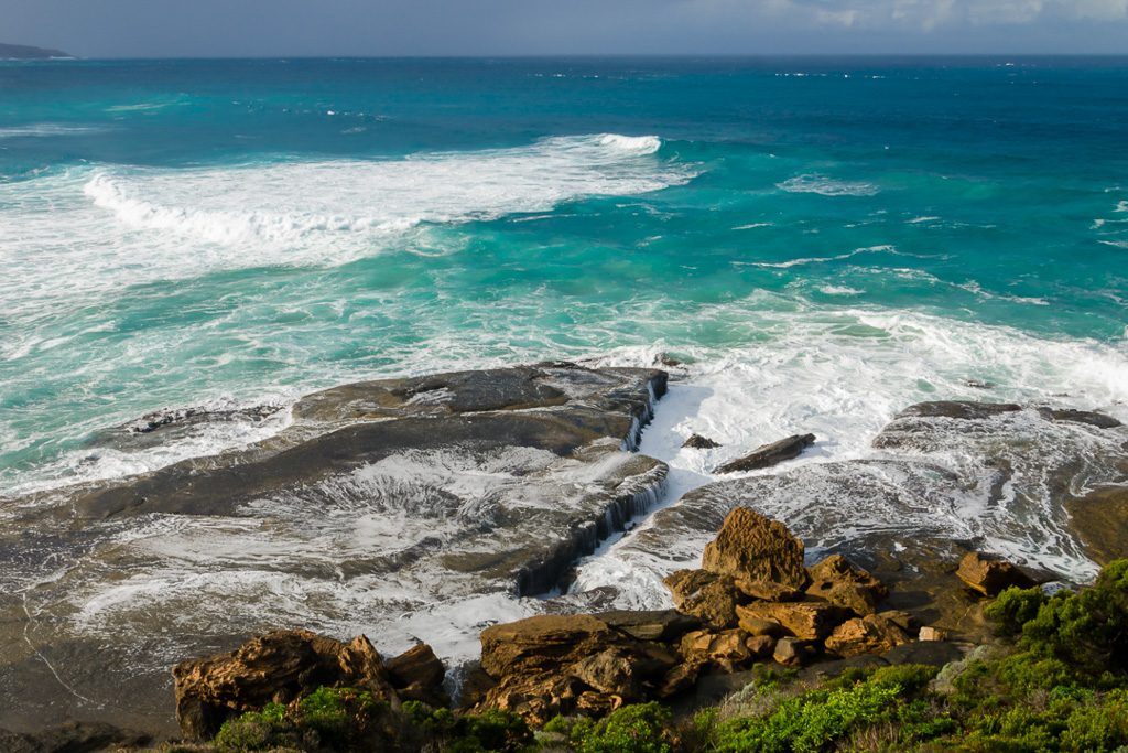
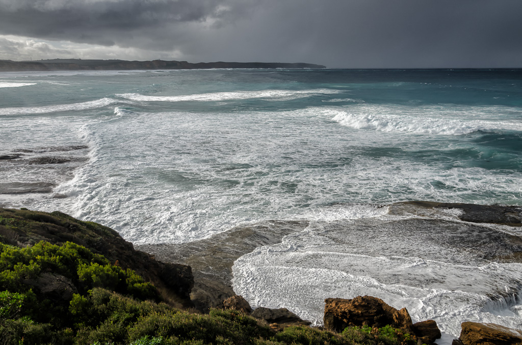
Through this spot the track descended to sea level, but then rose again with some nice views of waves breaking across the rocks…
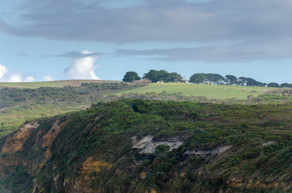
Smuffin was fixated on the finish line though and with his backpack minus its contents, he was sprinting ahead. Here’s another version of ‘Where’s Smuffin’. He is in the photo…
Finally we reached Sheoak Road and that was the end of the hike…
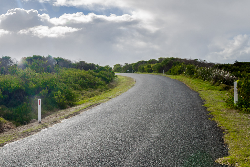
…as we followed it back into the big smoke of Portland. You wouldn’t believe it though. We signed off at the Maritime Discovery Centre and within literally a 200 metre walk back to the car, the rain bucketed down. It was as heavy as any for the entire walk and we ended up being soaked. Anyway, it was over and here’s the final GPS view…
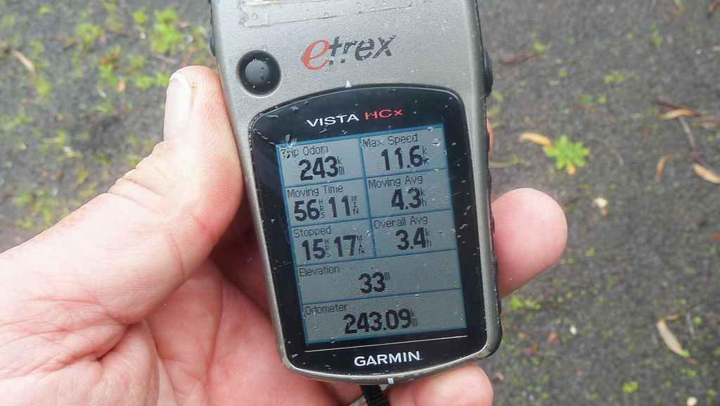
Skipping the lofty summit of Mt Franklin and the shortened last day brought our total back under the official length of 250 km. Don’t forget though, only a week earlier during ‘Tilt No. 1’, We’d done 90 km of the initial part of the hike before abandoning with my foot explosion. So, somehow I’d turned this 250 km hike into a 340 km one. Mm… Those were the heady days when I was walking instead of lying around dying…
That’s the end of this hike on the blog! Amazing that it only took a year to write. Oh well, you can’t have it all. I’m going to do one final post though on a topic I rarely venture. Gear. Yes, I’ll give you a list of stuff that did and didn’t work for this hike, which should appeal to all of you sexual deviants gear addicts out there. I’ll also give my final thoughts on the hike, so that should be a bumper post.
Right, I’m off to bed again…

A lot of these inflammatory things they just go away, and all the doctor can say is that it was probably a virus. A mate reckons that medicine has progressed from telling people they were bewitched to telling them they have a virus. Thanks for sharing the Great South West Walk, looks good.
Hope you get back to normal soon. Must be all that walking and stuff. Too much exercise.
Have you looked at diet changes for CRAPness?
Oh you poor thing! Congratulations for wrapping up the GSWW posts (and completing that walk in true fiasco fashion)…can't wait for your gear talk.
Ps. Just so you know, I didn't cast a sympathy vote for your blog 😉
Hi Ken. Yeah, I'm sure the ailment will go away at some point. Five weeks of this is a bit annoying though?! I can handle being sick for a week, but the joke has worn off now!
The history of medicine is interesting and I'm no doubt your mate is correct. What about for psychology? Does the same thing apply? I might have to ask the bloke I see about that. It'll be interesting to see what he says!
The GSWW is a fantastic walk. Perfectly doable, as there's no tough terrain. A leisurely way to spend a couple of weeks with great facilities. I guess I'll stop there as that's a spoiler for the next post!
Hey there. Who knows? The day at Cape Liptrap in the sun took a toll. I've no doubt, as I was wrecked for days after that. The trouble is the symptoms of feeling like rubbish just kept continuing!
Diet is a maybe, but with low haemoglobin I've got to boost a bit of iron. Anyway, I've got another blood test next week which covers more things, so I might have a better idea then…
Hi Ivy, thanks! Yes, the GSWW had a few hits and misses like any good walk should! Oh yeah, the gear talk, I'm thinking about how to do that right now. Better get the camera out and get some photos of the crap I took!
Thanks for voting. I need all the help I can get…!
Hiya, I did this hike on my own in Dec/Jan 2012 – I finished just two days before the fires came through. No leeches sighted on my visit! And The Springs definitely the highlight campsite. It took me ten days. Lovely to flick through your photos and reminisce a bit… thanks. Lisa.
Hi Lisa! No leeches? So, I guess it's only a winter thing along there? I bet you had an entirely different experience in your summer walk. I must say, I like the cold weather, but a longer summer day does appeal! That's was good motoring to do it in 10 days. Anything more than 20 km a day makes me feel grumpy 🙂
This is a very underrated walk. I'd do it again! Maybe one day 🙂
Thanks for dropping by!
I am a Portland local and we often go for family walks/bbqs in Cobboboonee – the leeches are always there, no matter the season. It is definitely closed shoe territory and don’t stand still too long.
Thanks for your comment. Nice to know! I found it quite surprising, as I hadn’t read anywhere that the Cobboboonee is crawling in leeches! If I’d known that before hand, I would’ve worn gaiters on the first trip. Oh well. Good to know if I go back in warmer months. It’s no different than winter! Thanks again.