What’s the plan? Well, I’ve come to realise that writing a hiking blog should have content with one major component. Can you guess what it would be? If you answered ‘crapping on’ then you were close, but I was thinking that actual ‘walking’ is the main aspect.
This minor detail has been dented by my neck, in which my discs have decided to zing out in all directions like crazed frisbees. This has stopped the walking, but just to cater for all of you hiking/medical surgery freaks out there, I have the possibility of relief coming up next week with a CT joint injection of beautiful pain killing ‘stuff’ zapped into the C6 – C7 of my neck vertebrae. Pretty exciting hey? Bored yet? Well don’t worry, I am and I’m the one writing this.
Anyway, I decided that some sort of walk should occur and the major criteria would be something rated as ‘easy’. I had one in mind, which meets this ‘non-epic’ rating. A stroll Ben and I had done a few years earlier. This walk on Cape Woolamai, Phillip Island is an easy 8 km circuit walk around the Phillip Island Nature Reserve. Even better is it’s an extremely easy wander.
The only gear I was taking was a camera, which shows how ‘easy’ I think this walk is, as I usually carry all sorts of things for the ‘just in case’ scenario. It was a nice chance to get away for the day and put one foot in front of the other, which I haven’t been able to do lately.
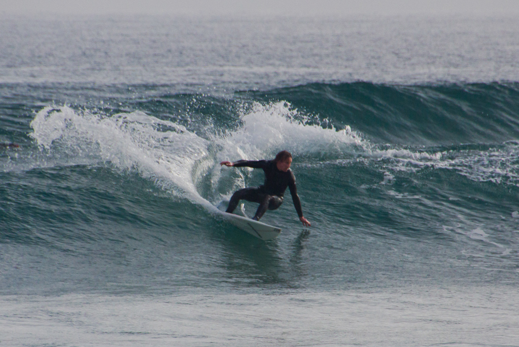
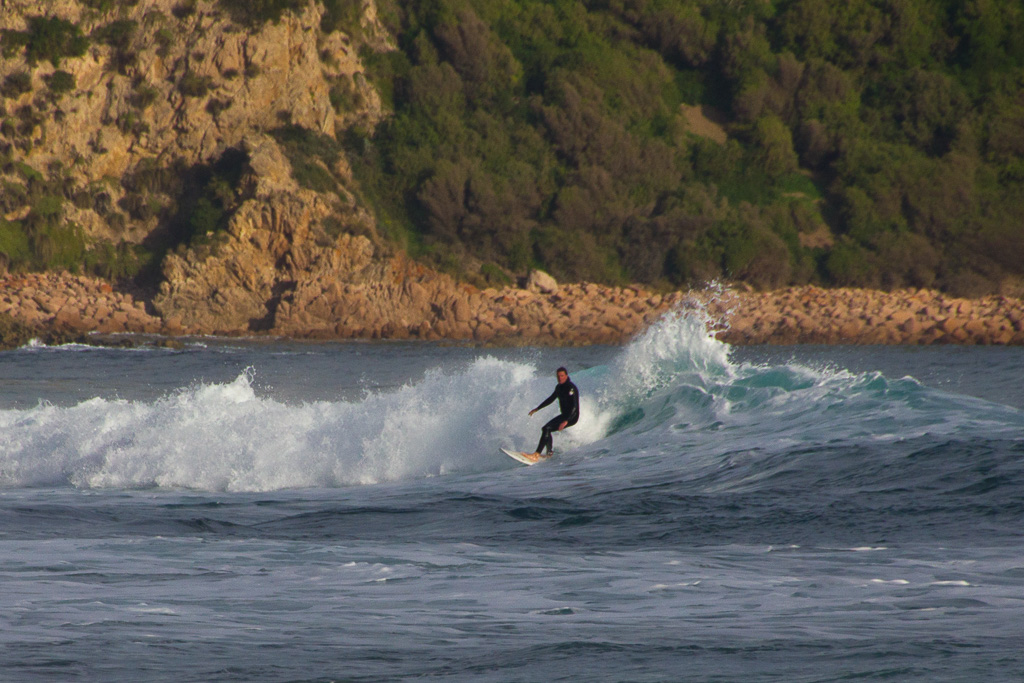
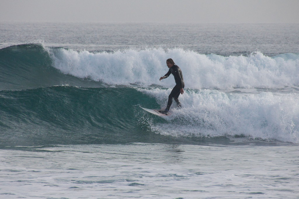
The aim is to reach the highest point of Phillip Island at Cape Woolamai, which is at an energy sapping altitude that I won’t reveal just yet, as I don’t want to spoil it for you later. It was the weekend and there were plenty of people around, as Woolamai Beach is a popular surfing spot.
Okay, the walk starts out with an initial 500 metre stroll along the sand, before it leaves the beach to commence the climb into the clouds with a beacon at the highest point. It was a perfect winters day with absolutely no wind, creating a still ocean and a lazy swell bringing in nice waves, which the surfers were enjoying. Slowly walking again was fantastic with a backdrop scene of crisp winter air, soft sand, crashing waves with seagulls soaring above and some blokes nuts.
Hang on? Can we rewind a bit there? Yes, a simple walk on the beach was never going to be without some kicks would it? Directly in front as I strolled along a bloke was slipping out of his wetsuit (or was he putting it on?) at glacial speed. I’m not sure what his logic was, but maybe he thought the severe shrinkage of the cold winter water would conceal his equipment?
Anyway, he went for the ‘stand upright and touch the toes’ method of getting dressed, but without the main item needed for this manoeuvre to be successful. A towel. In fact, I think he was trying to break the world record for time spent bent over, playing with his wet suit whilst naked. So, I looked away to rest my retinas and watch a few more waves getting caught by the surfers.
After a little while I thought the latest edition of ‘Ballwatch’ would surely have been over, so I turned to continue, but lo and behold ‘Nuts’ was still in position with the world record now easily within his reach. It was all a little weird as Woolamai is not exactly a deserted beach, but I’d given up at this stage and ended up strolling by him as he remained bent over playing with some sort of clothing around his ankles.
I did think about what I might see at the start of this walk and I must admit a ‘lolly-bag’ eyeful was pretty low on the list, but my walks usually have some sort of thrill in them, even if it’s a bit of bizarre nudity. Hopefully though, the rest of the walk was going to be testicle free.
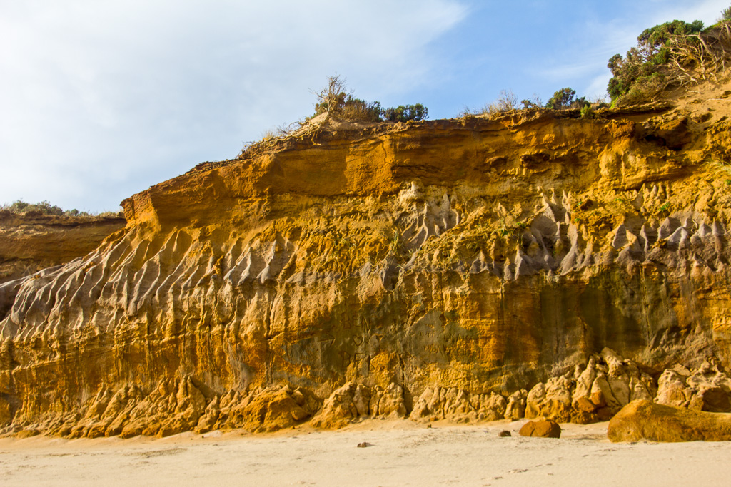
Colourful cliffs along Woolamai Beach
Sand turns to rock as a headland is reached. Then the walk leaves the beach and heads on a gradual incline along a winding, unmade path towards the first interest for the day. Pulpit Rock. I should check the map, but I’m too busy lying on the couch to go and find it. I believe Pulpit Rock is the name of the headland and behind it is one of the major attractions of this walk and that’s ‘The Pinnacles’. By the way, the bonus is I was feeling remarkably pain free and I can wholeheartedly recommend 15 mg of Meloxicam before starting.
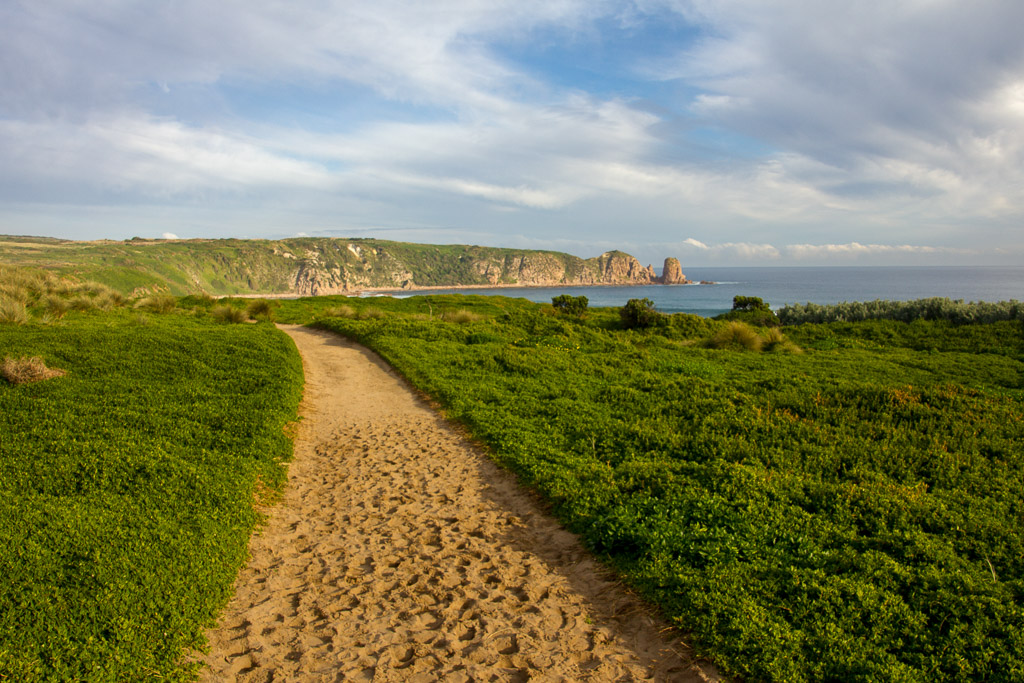
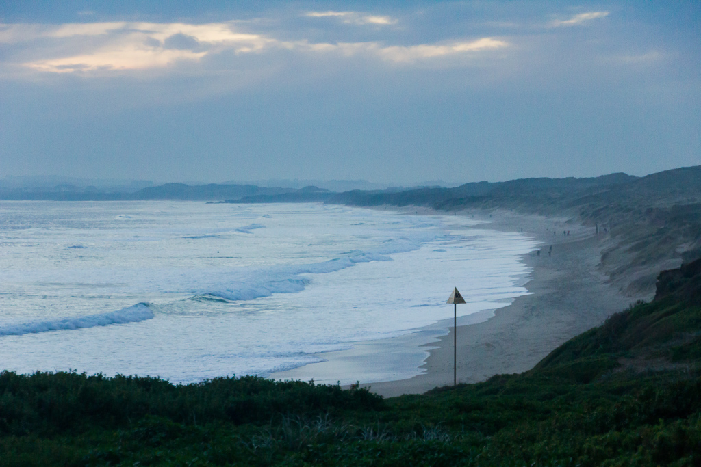
It was nice to leave a beach, full of people and balls behind, as although this walk is well known, it remained relatively deserted for the day. After climbing a little, there are a lot of nice views looking back across Phillip Island.
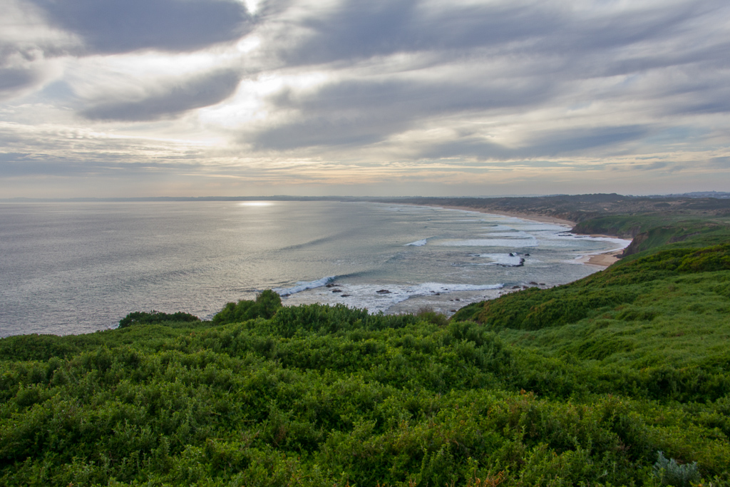
Looking back at Woolamai Beach
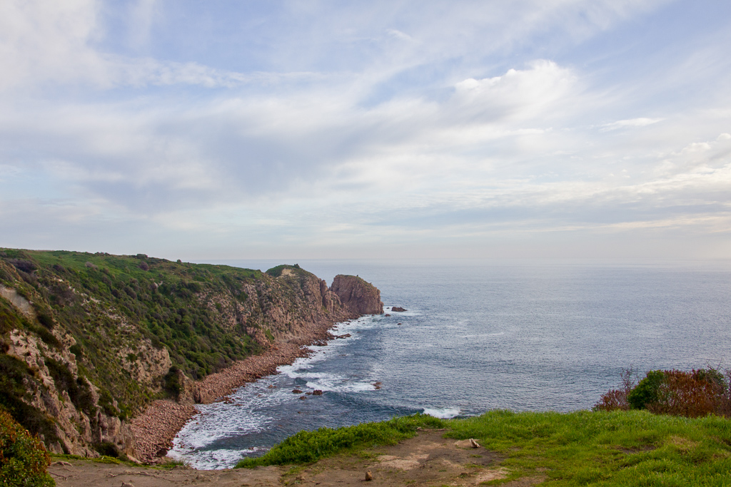
Heading towards Pulpit Rock
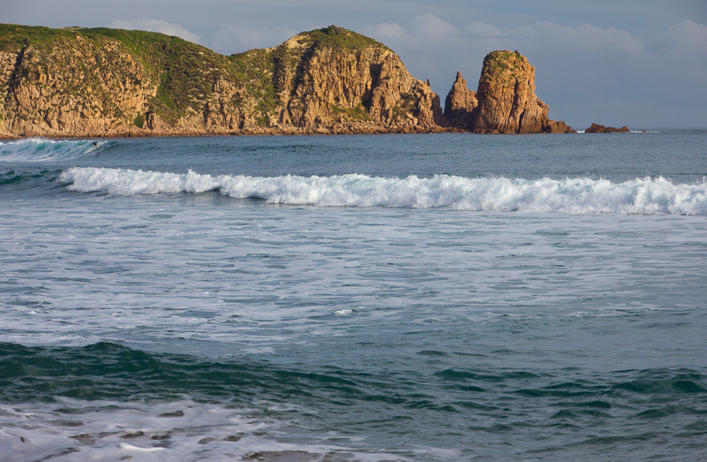
I think a walk can be classified in the ‘casual category’ when there are chairs provided. A nice one is set up at the lookout across from the Pinnacles, so it’s perfect to relax on and watch the waves roll in. The area is full of a pink shaded granite, which looks fantastic in the sun, but the trouble was the large globe remained hidden for most of the day, leaving the sky with a washed out, white look. It’s a pity, but I can throw in the odd sunny photo from the time Ben and I did the walk.
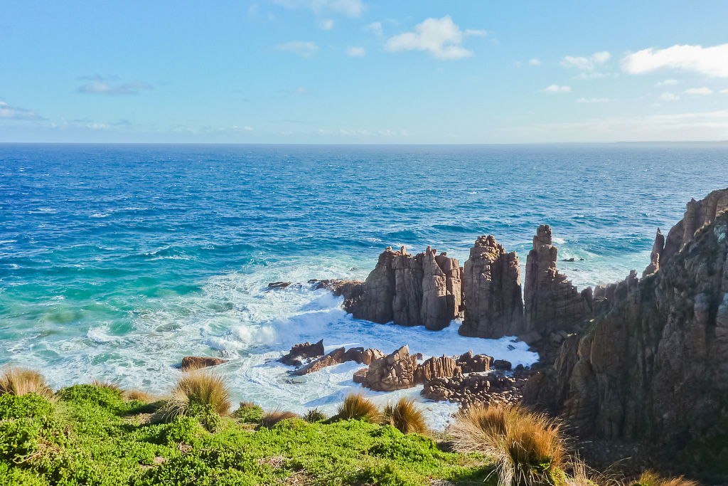
Apparently, those rock climbing type of hombres now and again climb the different pillars of the Pinnacles, which I could imagine would be quite cool to watch. No such luck on the two occasions I’ve visited though and whilst seated at the lookout this walk doesn’t have a lot going on at this moment, plus I want to make a cup of tea, so I might just upload a stack of photos for you to look at and I’ll get back to the writing when the uploading is done.
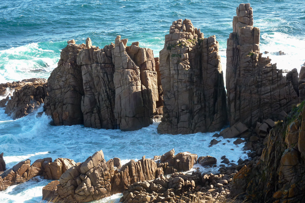
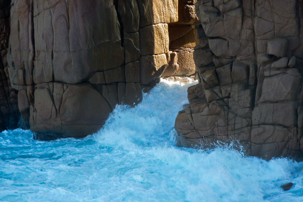
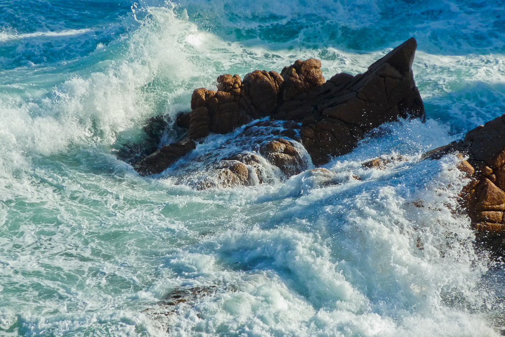
Have you had enough of the pictures? That’s a sure fire way to pad out a walk when not a lot is happening. Eventually it was time to leave the seat and continue heading for the summit on Cape Woolamai. There’s still a lot of nice views of the ocean along the way and that’s a perfect line I’ve just used as an excuse to pile on another stack of photos. I’m quite liking a massive tea cup I found recently, which is perfect with two of the extra strong Dilmah tea bags. I’ll be back in a minute.
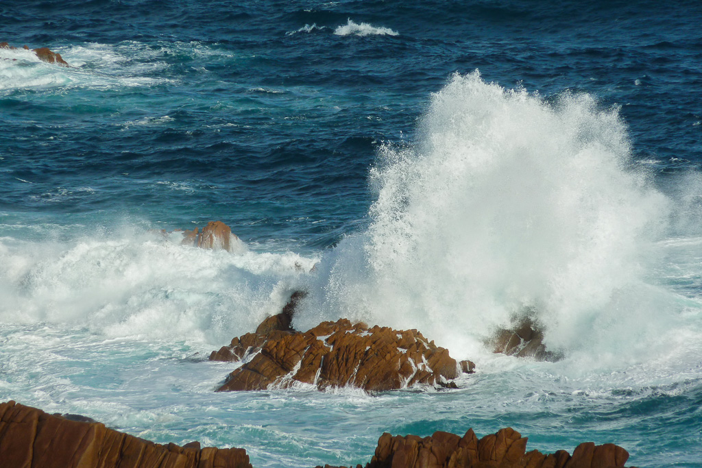
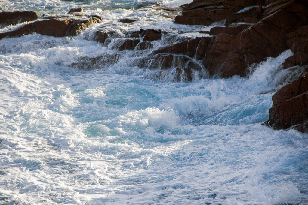
As the path continues on a steady climb another rocky headland is passed and I must have been asleep the last time I walked through, as I don’t remember two sizeable caves, which would be a fantastic sight if the ocean wasn’t so peaceful. Worth a photo? Yeah, sure, why not have three.
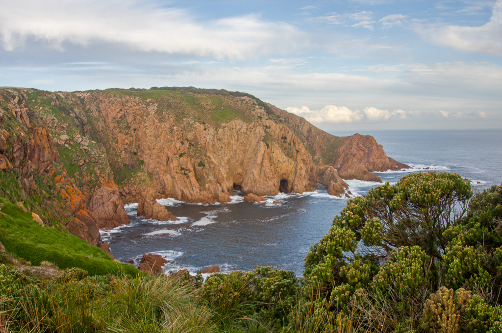
Sea caves
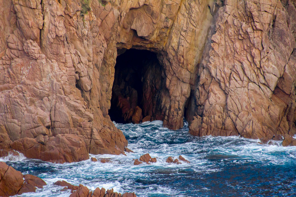
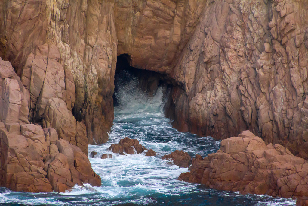
If you think some of these photos are a little ‘soft’ then you may be right. I was struggling at times with the zoom on my new 18-270mm lens, as I was at times hitting ISO’s of up to 3200. I’ve been trialling this lens out, as I’m sick of missing shots of birds with my 18-135mm lens due to my sneaking abilities being Godzilla style. Such a huge zoom will always be a compromise, but it beats carrying two lenses, which I’ve been doing on hikes in the past. I’m thinking of going at least marginally camera light on future walks!
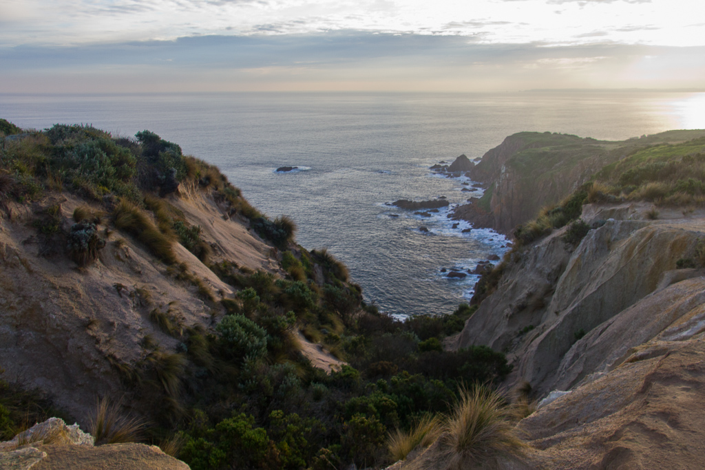
Anyway, sorry to all the ‘pixel peepers’ out there regarding these pictures, but the high ISO’s are guaranteed to bring on ‘grain fiasco’ that’s hard to reduce in Lightroom unless I make the photos as soft as a marshmallow. I know you purists out there who like to stick to 100 ISO, but it wasn’t happening on this day. A fast lens costs money and I’m banking all my cash for my spine to be repaired at some stage. How boring is this camera talk? Hopefully I never become a certified camera wanker. If you ever see me wearing a camera vest then I demand you slap me across the face to bring me to my senses.
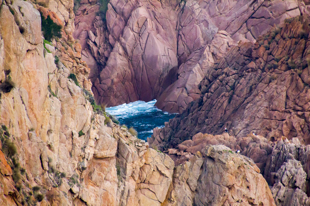
As the walk continued there was an optical illusion moment where it looked like a swimming pool was amongst the rocks. I’m pretty sure it wasn’t, but if you squint your eyes with the lights dimmed you’ll see what I mean.
That wasn’t the only optical illusion for the day though, as a look skywards resulted in a small section of sky displaying a totally random rainbow (TRR). I thought it was a delayed rapture for a second, but my feet didn’t lift off the ground, so it must be something that can be explained by science.
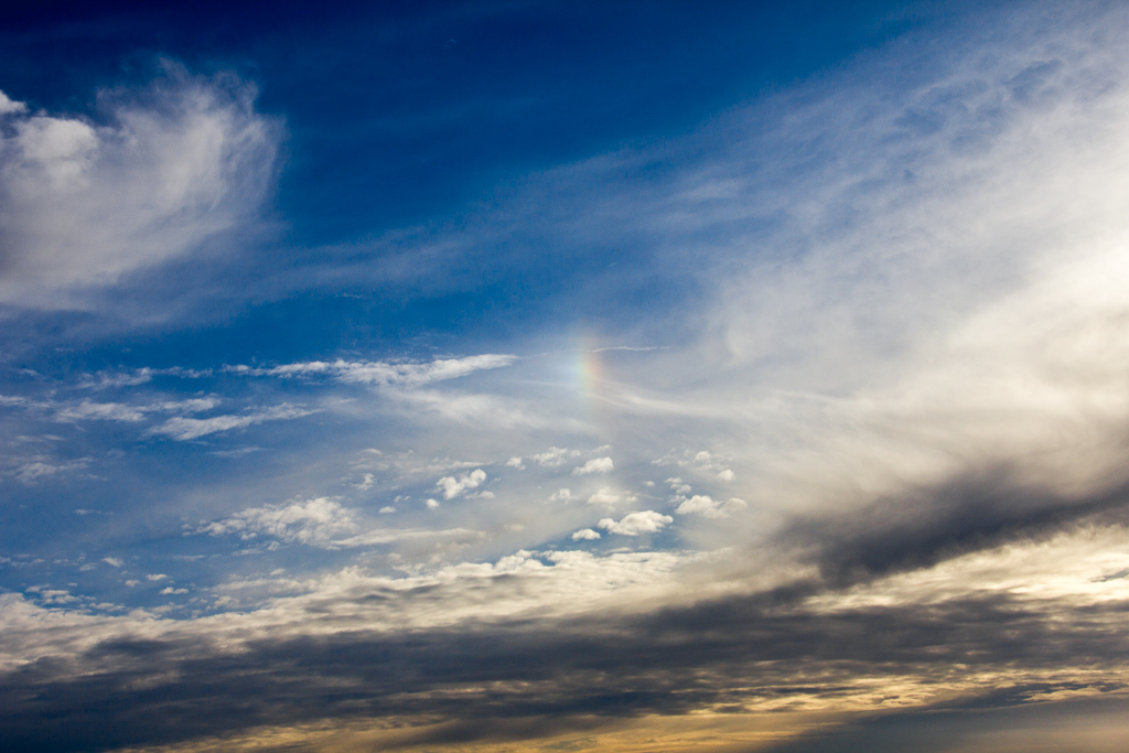
Tiny rainbow
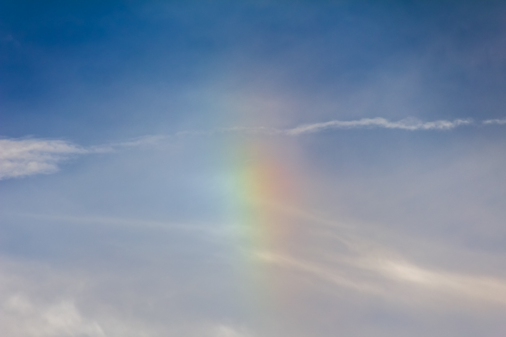
Okay, there you go, I zoomed in for you, so you didn’t need to break out the Electron microscope and it’s actually a good example of the zoom capabilities of the lens. A bit of 18mm to 270mm action which hopefully will pay off when I get back to some decent walks.
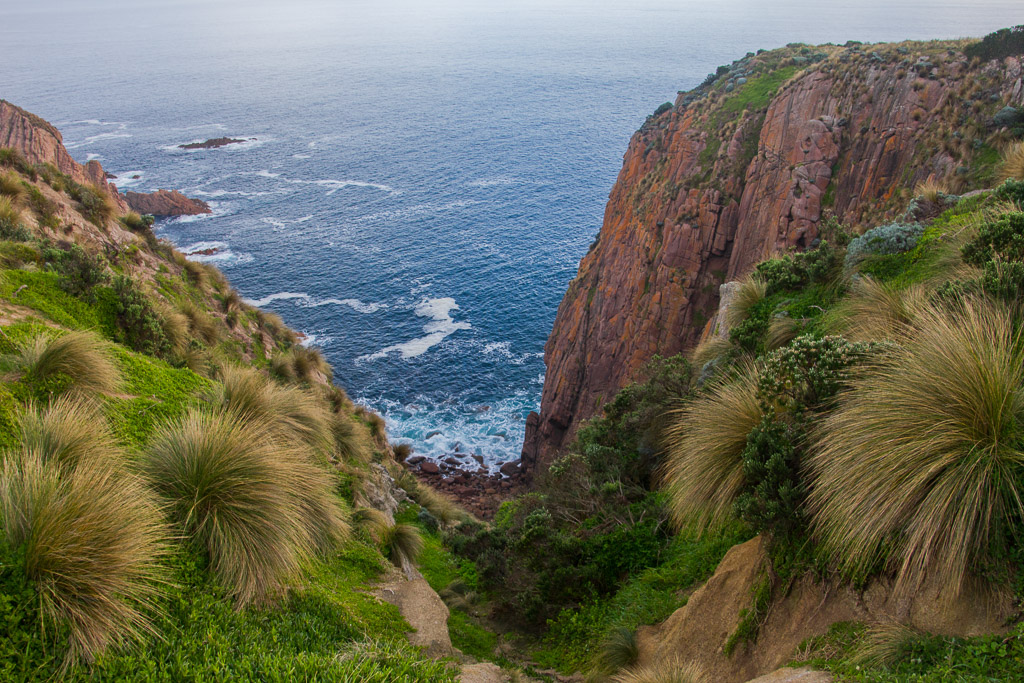
A little bit further on it was time to get crazy with the zoom again as there was a bird hovering a fair distance away, which I tried to take a picture of. He must have had limited ‘time in hover’ abilities though, because as soon as I’d focused and snapped, he had de-hovered. Is that even a real word?
Eventually I managed to get a picture taken at 270mm and he was so far away the following is a crop of the original photo. Yet again it was nice to have the super zoom, as I was actually able to see that the bird was a falcon of some sort. Well, it had feathers, which is my total knowledge of this bird, but I did just try and enlighten myself by doing a Google search concerning Phillip Island so I could give you the exact name.
Instead I was pummelled with page after page of totally irrelevant stuff and I ended up admitting defeat and instead of the birds name, I ended up with a quote from Napoleon, which sums up what I just went through on Google.
‘I generally had to give in.’
Hang on a minute. Did he really say that? It’s probably the crappiest quote I’ve ever read and it’s up there with mine, which hasn’t made Wikiquote just yet. ‘All a man needs in life is a fast car and hot chicken.’
Now, getting back on track to the bird and I’m pretty confident someone in the world will know what type it is without me having to trawl online to find it. Actually, during this aimless bird searching, I didn’t find one blog style entry of this walk. Is it even possible this is the first and all searches online will end up reading this crap? Anyway, here’s your bird.
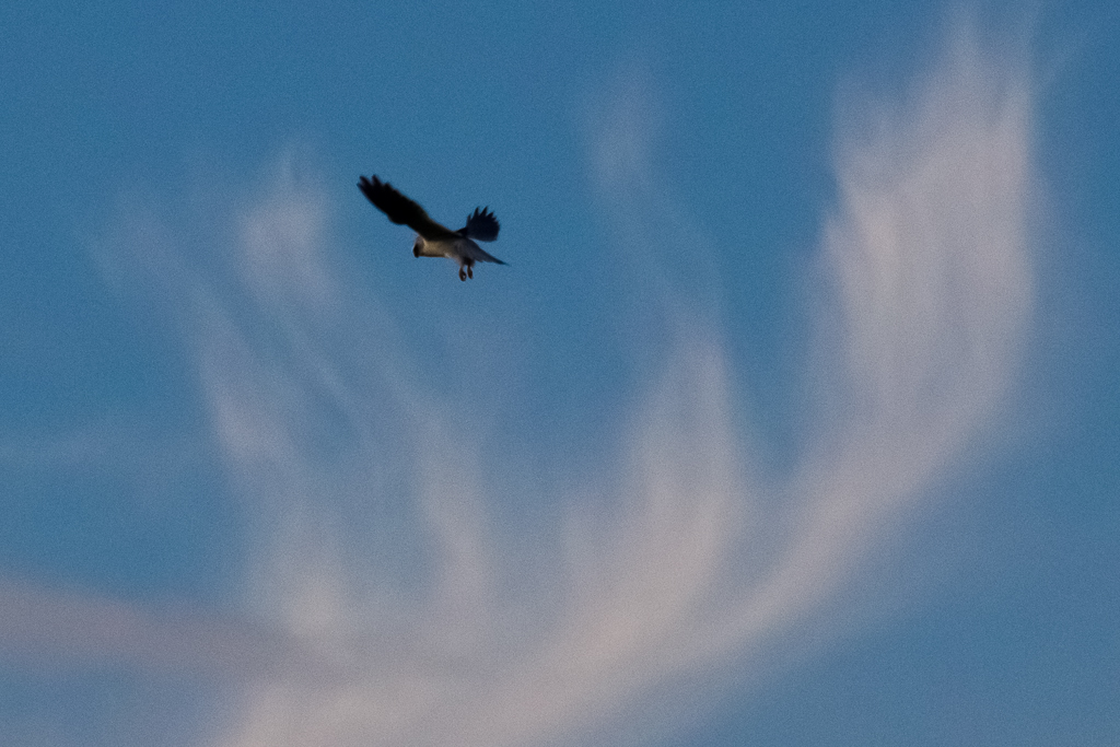
I hope you’re happy now
Bloody hell that was hard work, but the hardest part was to come, as the summit of Cape Woolamai was now within reach. The air was a little thin, which laboured my breathing, but I struggled on passing the odd prayer flag on the way. In fact not many of my blog entries don’t have some sort of plane buzzing me and this one was no exception. I was feeling better though when I looked at it and it said, ‘Rescue’ in huge letters on the side, which could come in handy if I had any trouble at the altitude I was now in.
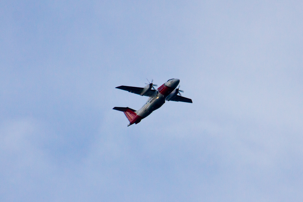
The beacon looms
It was with a final piece of effort that the ground stopped rising upwards and I’d officially succeeded in ‘Peakin’ Beacon’ and then slumped to the ground in exhaustion.
Phillip Island summit beacon
You may wonder how high this climb is and I guess all I can do is reveal it’s dizzying height via photograph. If you broke the rules and just looked at the photos before reading the blog entry then it’s bad luck for you, but to everyone else who made it this far here it is.
There’s not much more to say, other than take that all you Europeans with your puny Alps and Pyrenees, as down under we have a true summit that rivals K2 and its intimidation factor explains why the area was deserted. I mean, just getting here I had to summit ‘Australian style’ by having to confront an extended eyeful of some blokes nuts, which I bet isn’t the case with most mountains one has to climb overseas.
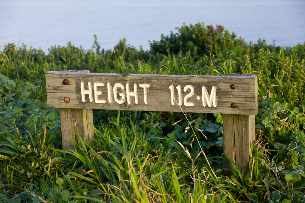
Oh yeah, just in case you’re wondering, the above sign is indicating metres and not miles. It’s so scary up at the top, there’s even a worn out sign to keep people on their toes. Nicely lit by the sun, low in the sky though.
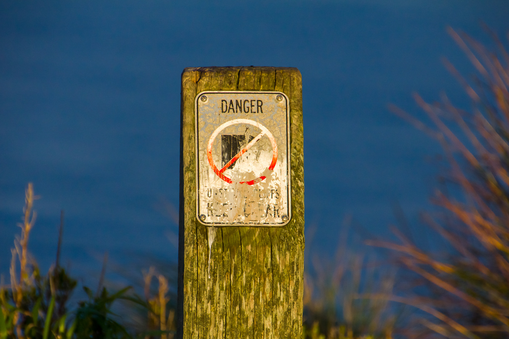
It wasn’t such a bad time to be at the top, as the sun was by now getting low in the sky and a nice glow was on the ground, putting some colour into the vegetation.
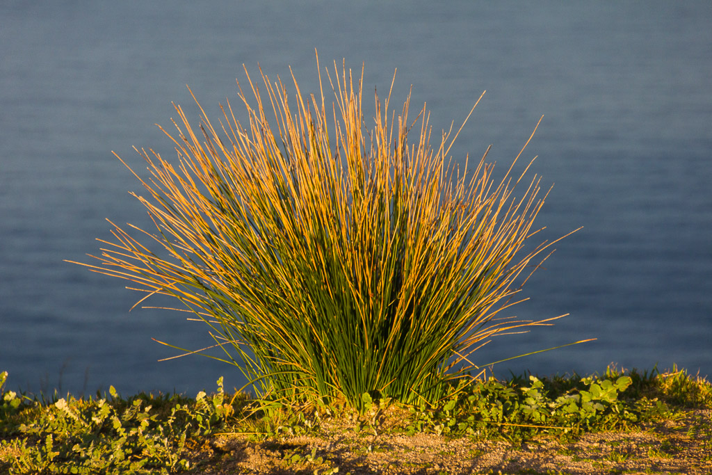
Not only that, but I took quite a few photos to keep all of the people with a beacon fetish happy. Could I be one? Well, I do like a lighthouse, but this is pretty much borderline in comparison.
![]()
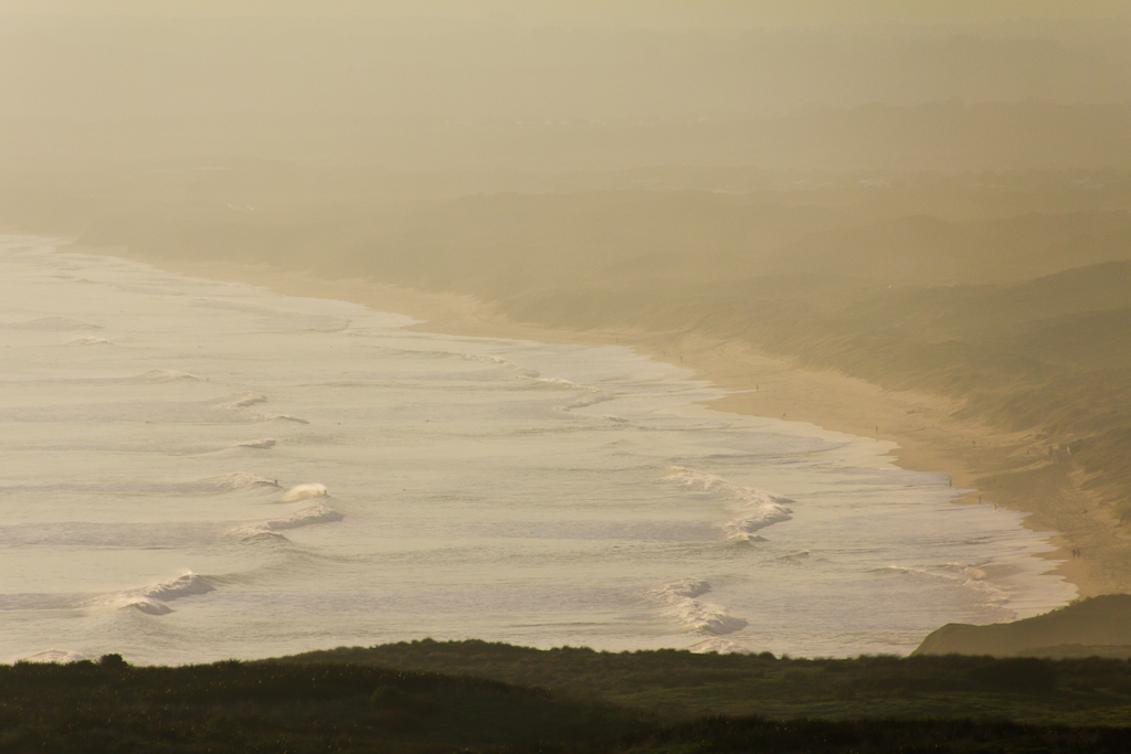
Looking back at the beach, I could still see the surfers in the waves, but by this time the air was feeling a little chillier, as a mist began to drift in from the sea.
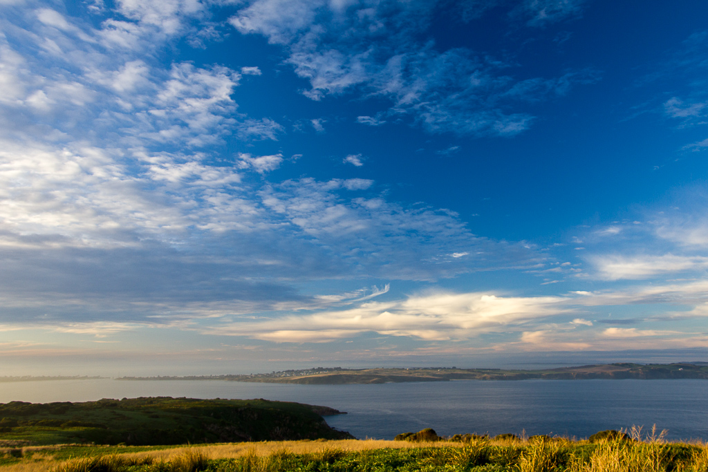
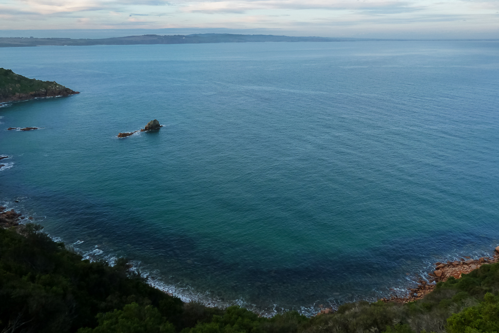
All good things come to an end though and it was time to head back. The walk goes in a loop, which was a bonus as retracing my steps is my continual pet hate on a ‘hike’. Heading back down, there’s another look out that gives a nice view back to the mainland.
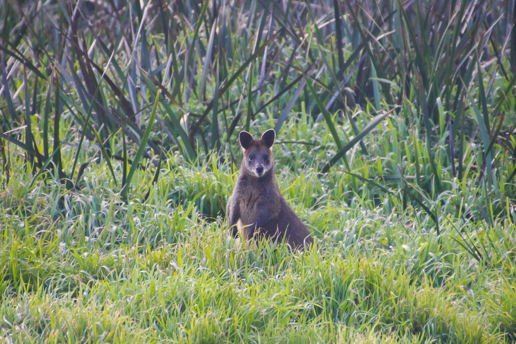
The path heading down is quite interesting, as it passes through a small clump of trees in which there were dozens of wallabies bounding about. The light was getting dim at this stage and it was permanent ISO 3200 time, but I managed to get some shots for you to get the idea. The wallabies were pretty shy and most took off as soon as I moved, but not all of them can escape the zoom.
A short distance from the trees is a turn off, which leads to an old quarry where the pink granite was carved up in the late 1800’s for the use of building in Melbourne. It was getting a bit late in the day though and I can’t say I was inspired to visit when a sign says ‘quarry’ on it. Maybe another time, as I was happy to head to the car and rest up.
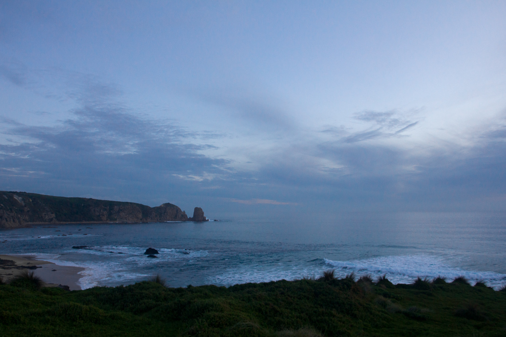
Instead of re-tracing my steps by walking onto Woolamai Beach, the track continued along the top of the small cliffs. I assume this route would be easier to walk on during high tide, so I thought to make it really interesting I’d follow it back to the car. It did have a slight ‘Sahara/French Foreign Legion’ feel to it though, as the path turned to soft sand and it was a bit of a slog for the final kilometre.
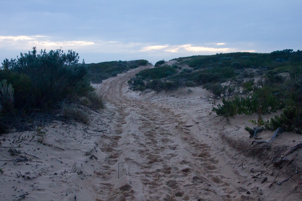
A bit more of the winding, sandy path and suddenly the car was in view. Well, it was over and I can say I was glad to actually get out and about instead of lying around dying with this cursed disc problem. I’ve gone from planning a 250 km hike in winter to easy day hikes, but this was really rewarding considering how I’d been feeling the week before. Okay, the medication may have helped a little, but I’m hoping to tackle a few more easy walks once my CT injection is done. The thought of carrying a pack is out for the time being though, as I’m actually going to listen to the doctor for once and be careful with the recovery.
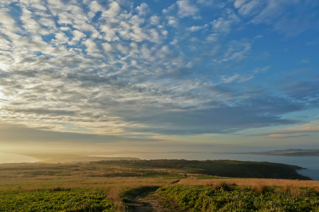
Do I finish off with a photo? I guess it wouldn’t be the same without one and I did love the walk, from the blokes balls to the heady heights of 112 metres of climbing with a bit of wallaby and falcon nature thrown in. This walk has a lot going for it and maybe next time I’ll even take the side-trip to the quarry…

Great to see you walking again, Greg, even if you were scarred for life by the beach balls. Next time put that zoom to some good use and show us the proof.
That iPhone app sounds good, I'll check it out. I have been avoiding anything GPS-ish for too long, and with my sense of direction and navigation skills, I'd better get on board.
Now your mention of a strong tea has got me motivated to stroll up the road for my own morning caffeine hit…
Thanks Goat. I saw enough of that blokes equipment as it was let alone zoomed in at 270mm. There's only so much trauma one can take.
The iPhone app seems pretty good so far and it matched my GPS readings more or less which is a wonder seeing how it only cost $5! I'll keep using it for day walks and see how it goes. In the settings it has different activities (including downhill ski?!) and I set it for 'walk' even though there's 'hike' one. I have no idea what the difference would be when it's just a GPS application? Oh well, I guess I'll try it out next time.
I reckon you'll a GPS as I was a little suspicious at first myself. It's handy just having the 'distance travelled' feature as I always misjudge how far I've actually gone especially if the terrain is a little rough.
Anyway, I hope the caffeine had the desired effect…
Good to see you out and about Greg, in fact you doing better than me I have not been walking for weeks and my neck is fine.
Interesting on the GPS application for the IPhone, I look forward to seeing how you find it. I am always concerned about “eggs in basket” when it comes to combining two key pieces of gear, GPS for navigation and phone for Send Help Its Terrible (shit).
You seem to have a bit of a theme developing Greg – first the golf balls, and now the beach balls (great phrase Goat!), what's next I wonder? Or maybe I don't…where's the mind bleach?!
The iphone app looks pretty similar to Google's 'MyTracks' that I run on my android phone – I find it great for keeping tabs on how far and how fast I've been when I've been training – I even tried it out flying a couple of times but it didn't cope too well with being turned upside down at 180mph and just left big gaps. Can't say I blame it, blacking out a little bit when pulling 5g is perfectly normal…
Hey there Lauren, it does look like some sort of ball obsession is sneaking into the blog doesn't it?! I certainly didn't want an extended eyeful of 'Nuts', but as it was happening I did think that it was blog gold!
I should have thanked him for providing me with so much material so early on in the walk as writing this entry was easy with an intro like that!
See? I'm way behind in the app world as I'd never heard of Google's 'My Tracks'! I'm also guessing the developer didn't think his My Tracks had to be 5g proof?! The developer was probably thinking of an app for walking on the ground rather than flying like a fighter pilot 🙂
Hey Wazza, this walk was quite 'epic' considering how I was feeling a week ago. A few months back I was toying with something like the Larapinta Trail or the Great South-West Walk, but instead I'm pottering along the heady heights of 112 metres 🙂
Oh well, I hope you get a chance to get a walk in. That's the trouble with starting a hiking blog, you're forced to walk from now on to keep the blog running 🙂
Yeah, I see what you mean about the gear combo. The app seems to replicate my Garmin that cost me $500 with topo maps. Not bad considering it was only $5! I was expecting it not to work at all, but it seems fine so far. Mind you, it's only my toy for the day walking type of thing. I don't think I would be banking on it during a remote hike 🙂
Great photos again. Thanks for leaving out the beach balls. I remember leading a walk once from Mt St Gwinear to Mushroom Rocks and coming across a guy carrying a tripod! He quickly put a t-shirt on when he realised there was going to be quite a procession walking past him!
Thanks WV. Carrying a tripod?! The mind boggles!
Greg, I have Walkmeter now, and can report that my daily round trip for my morning coffee measures 2.54 miles. Yes, I prefer miles as I can visualise them better after all the American hiking…
Anyway, it's definitely made my daily strolling more fun since I don't own a GPS yet (though I suppose it's inevitable).
And yes, that coffee is worth a 2.54-mile round trip!
Hey there Goat, nice work with the Walkmeter! I love it and I've found myself measuring the distance of every time I walk out the door. I found out it's 2.18 kms to the railway station, but I went a bit overboard today when I measured that it's 530 metres from the station in the city to the hospital I had to go to!
Yeah, I can imagine the miles/km thing would be hard to get used to again after all of your American travels. 2.54 miles round trip for coffee? Now, that's a keen coffee drinker!
Hey Greg,my friends and I are thinking of doing this walk the coming weekend. I was wondering how you got down to the caves.
Thanks,
Nicole.
P.S. Fantastic photos
Hi Nicole. Thanks for the comment! This post looks kind of weird since I've progressed to super sized-pictures recently. I might have to do some retro work and re-do the snaps!
I'm afraid to say I didn't go to any caves! I kept on the main track as it worked its way around the point. Actually, the only caves I saw were in the ocean and I used a 270mm zoom lens to get close to them 🙂 I should get down there again to get another look with the tide out and see if it's any different…
"….as I've just jumped onboard the smart phone bandwagon…"
they say after "smart phone" comes Camera Vest with 100 pockets…
Do post a picture, when you buy one!
If you had "Paypal" button I'd shout you a vest. The reading here is worth every penny.
Now this is going back a bit! Back in the days where I'd just got a shiny new phone. I've still got the same one, so maybe it's time to update! It's another thing I'd better look at…
I'm not sure the vest is a good look, although I'd almost buy one just for taking the piss. I'm always up for some new props! The camera I was using here has since been retired. When I bought the new one, I went back to this same spot. The walk is on the blog somewhere under 'Cape Woolamai'. I think it's my favourite 'new camera' location!