I found something that had been sneaking up on me for some time. Blubber, that’s what. After going to the gym last week I thought I’d have a bit of a sneaky weigh-in just to see what the post-Christmas damage was.
On the electronic scales I hopped and there was quite a disconcerting sight. The weight readout numbers were flicking over at high speed as if I’d won the jackpot on a poker machine. When they finally stopped I was slightly amazed at what I saw. I’m not positive of the exact reading due to my chin bouncing off the scales, as my jaw went into free-fall. My eyeballs were on springs as they read the numbers. 129.90 kg.
Okay, now this officially puts me into ‘fat bastard territory’ (FBT). Somehow I’ve gained 15 kg without even noticing. How can this be? Am I totally blubber deluded? Everyone I know says I look the same, which is the benefit of being tall with a solid frame I guess. No wonder I’m struggling on hills though and there’s no point going for lightweight hiking gear when I’m carrying the equivalent of a stack of bricks on my guts. Oh well, the training begins which means longer walks coming up.
So, for starters I picked out a walk that was going to be over 15 km long. Even better if it was longer and preferably not too far away. I was going solo, as Ben had come down with some sort of sore throat from hell. He’d been pretty sick, but I told him I had to walk. I explained that if I didn’t do some walking, there’s a chance I may never get out the house again as I’d be stuck in the door frame. As I was leaving I asked if he wanted anything and he replied, “a cheeseburger from McDonald’s”. A magical cure that one.
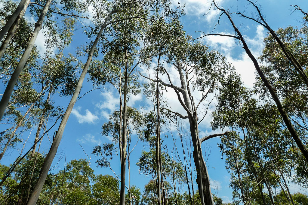
Now the walk. I’d picked the 19 km Macedon Circuit in the Macedon Regional Park. Besides Mt Macedon it took in sights from the highest point on the range at Camels Hump. After an hour’s driving I was ready to go. A short bit of roadside walking and then I was onto the trail which leads up Mt Macedon. I didn’t really think how high Mt Macedon is until I started to climb it. I was reminded of my beefiness as soon as the track went up steeply. Huffing and puffing was the order of the day and at one point I stopped for a rest just to bring my heart rate down.
As I did so, I was absolutely blown away by another bloke walking up the mountain. He was moving well and after a quick hello he continued to power up. This was getting a bit embarrassing, so I got going again. The mountain is 1000 metres high and is reached in the first 3 kilometres from a starting point of just under 600 metres. This is no Everest I admit, but it is if one weighs as much as a small car.
Time for a rest
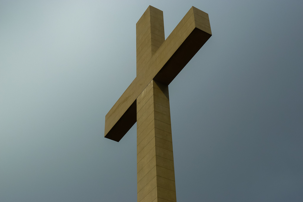
The track was well marked and enjoyable on reflection. At the time it was horrible, but it seems lovely now. It’s funny how walking does that. I was moving up slowly when I heard a lot of voices a short distance away. I’d reached the top at the Memorial Cross, which is a well known landmark and popular for day visitors who drive to a nearby car park.
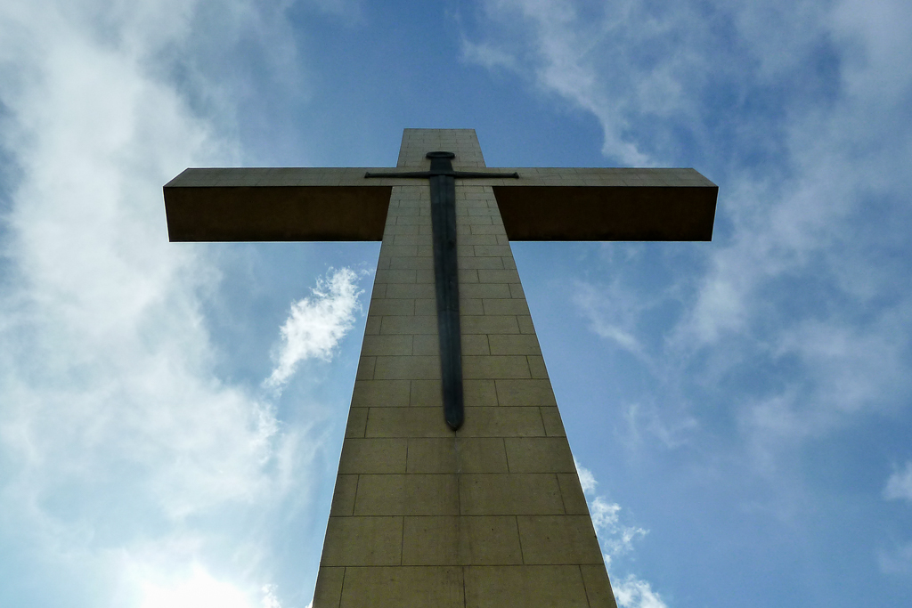
Mt Macedon Memorial Cross
I got to relax a little now I had reached the top. There’s some well-kept plants near the Cross which are good for photos.
It was time to leave the crowds behind and head to my next destination, which is a spot called ‘The Camels Hump’. This is the highest point in the area at 1008 metres and is called a rock formation rather than a mountain. It sounded interesting enough, so I began to move quickly as I noticed it was starting to get a bit late in the day.
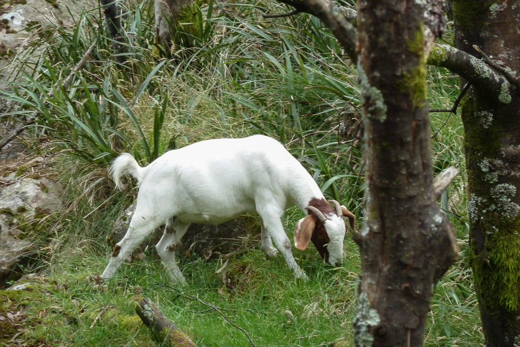
After a few more kilometres I found the turn-off and ditched the pack. I raced up a well made track to the Camels Hump, passing some goats on the way. Goats? Yep, they’re goats and I have no idea who owns them, but they were doing their bit by chomping on the grass up the hillside.
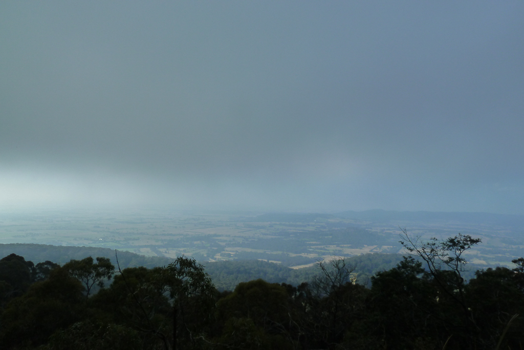
When I reached the top of the Camels Hump I was met with low cloud. It was disappointing, as it totally blocked the view towards Hanging Rock. There’s nothing like climbing a hill and not really seeing anything.
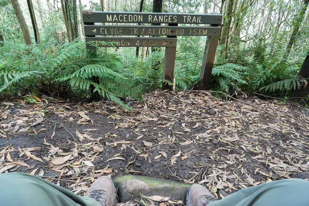
Oh well, time to head off again. It was about this time I began to think I was cutting it fine in finishing this walk in daylight. The walk is listed in Glenn Tempest’s book ‘Day Walks Around Melbourne’ as 16.8 km in length. I reached a point where the track crosses a road and according to my GPS I’d walked 11 km already.
In my mind I had less than 6 km to go. The trouble is on his map at the point I was standing, he records it at about 8.5 km. Going on that theory instead of 6 km I had another eight to go!
Who knows what was going on there, but the clock had ticked over 7 pm. Not really knowing the path ahead, I decided to pull the pin and walk back to the car on the road. Not ideal, but I didn’t fancy racing on a path to beat the darkness. I was also under cheeseburger pressure and I did consider whether Ben had given up and just decided to eat his arm instead.
The walk back to the car
At first it was annoying because I find walking on a road to be really hard on my feet. It was all downhill though, so I got into a bit of a groove and it wasn’t too after all.
There’s one thing about this area though. The houses are absolutely massive. Not just big, but really bloody big. There’s a lot of money in the Mt Macedon area. Some properties were so huge the houses were unable to be seen from the road, as they’re hidden behind expansive, immaculate gardens.
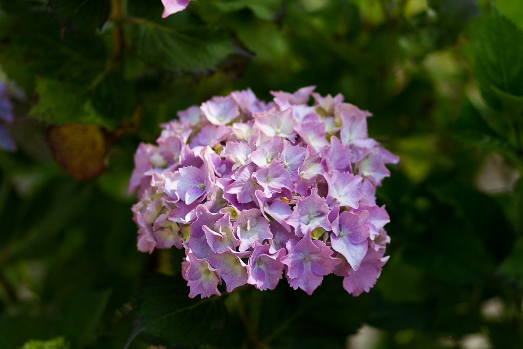
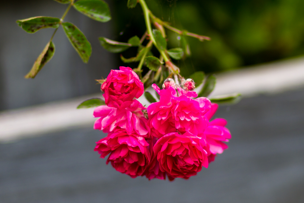
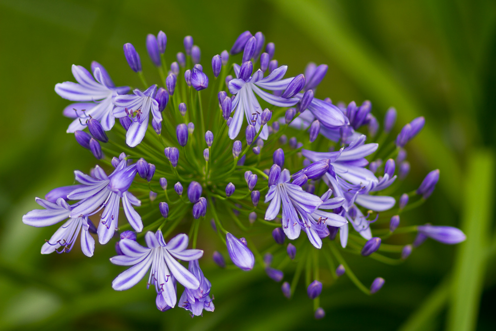
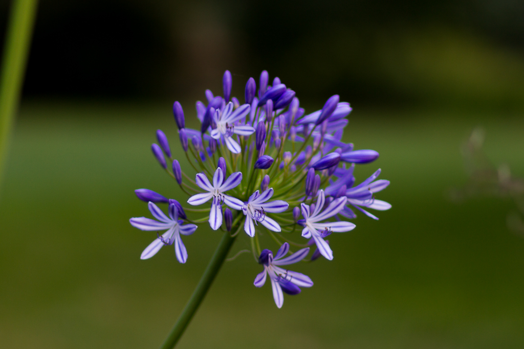
In between looking agog at the monstrous houses, I found a nice pair of clear lens, Bolle glasses in the roadside ditch that would be perfect for cycling. It pays to walk back on the road sometimes. I also got to take a few photos of flowers that seemed to everywhere.
I had a comfortable stroll back to the car and noted that the distance walked for the day was 15.36 km and the total elevation climbed was 552 metres. Not too bad a start to Operation Blubber Buster (OBB). I was then heading home via McDonald’s. Tough times indeed.
I walked in the door at home sideways and I’ve never seen someone so glad to have crap food brought to them. Quite a day, but I felt a little bit short changed as I didn’t finish the ‘official’ walk, which means I’m going to have to go back one day and do it again. Oh no! That hill at the start again…
NB – I’ve been back to Mt Macedon quite a few times since this post. Here’s a post about the full circuit.
I also did a winter wander in 2015. You’ll find it here.

Just walked this whole circuit on Sunday (read your other post when you completed the circuit with Mt Towrong, which I thought was a highlight of the walk but then we saw an echidna on the descent, so that made it just wonderful). This post deserves a comment though, as it is otherwise commentless and my pedantry requires that I point out: the flower you call Agapanthus looks rather like a hydrangea, whereas the bluey-purply flower at the bottom looks more like an Aga.
Hi Oanh! Yes, this is the first comment on this walk and I just re-read the post after not doing so for a long time. It's pretty rough and ready as it was in the early days of the blog!
I just changed the Parks Vic link as well which was dead after they changed their website.
Did you like it the walk? It's quite a good day hike isn't it? A nice solid sort of a day and you're right about Mt Towrong. It wasn't so much the top which impressed me, but the fantastic views upon leaving the trees. It was really unexpected and you had even more fun with an echidna sighting!
I consulted a bit more of a flower guru at work today and they agree with you. I stuffed up my flower identification! I really should get a book so I can get it right when I do the blog. Then again, you can correct me if it's wrong! I won't rewrite it, but I'll leave it as it is and you'll get the glory for the correction 🙂
Thanks for dropping by and the comment as well. Much appreciated!
Great post, we jsut moved into Macedon and I've been meaning to tackle the walk… you've inspired me to do my own post winter OBB 🙂
Hey Bertie, thanks for dropping by and taking the time to comment! I'd forgotten about this post as it's back in the early day of the blog and I just noticed all of the photos were set up as the blog used to be. Small! Anyway, if you come back you'll notice I've made them bigger, so you don't have to get out your electron microscope to look at them!
Yes, I loved this walk! In fact it's one of my favourite day walks and I did come back and do it again properly. You'll find it in this link here,
http://www.hikingfiasco.com/2011/09/mt-macedon-circuit-victoria-september.html
The full circuit is lovely and I had a perfect Spring day when I did it. Pencil it in for Spring!
Oh yeah, I'm due for many more OBB's!
Hmm, that's strange. In Tyrone Thomas' and Andrew Close's book 150 Walks in Victoria, it says that the Macedon Ranges walk is 20km. Thanks for posting, it was a good read. A walk on my to-do list.
Hi Sam, thanks for dropping by. Yeah, I've got that other book as well! This post has the walk a lot shorter as I bailed out due to time, but I re-did the walk in full in the link below.
http://www.hikingfiasco.com/2011/09/mt-macedon-circuit-victoria-september.html
The walk as per the notes in the Tempest book has the distance as 19.46 kms on my GPS, so that makes more sense in relation to the '150 Walks' book. The Tempest notes has the distance as a lot shorter at 16.8 kms, so I don't know where I gained a few kms, as I stayed pretty true to the notes. Anyway, the walk is identical between the two books other than at Camels Hump. The Tempest book sends one back down the track and beneath Camels Hump before climbing back up to cross the road and then continue on the track. The '150 Walks' book leaves Camels Hump and immediately follows the road to reach the walking track which crosses Mt Macedon Road. That's a shorter and easier option, so it depends on ones mojo on the day with which option to take!
I loved this walk and with the harder stuff out of the way first thing in the walk, it becomes a relaxing day. Perfect on a sunny Spring day!
Thanks for the comment as they're always appreciated!
Hi there!
I am planning to do this walk with a group of friends in a couple of weeks.
Where do you think is the best meeting point for all of us to meet up? There will be a few car loads coming up from Melbourne.
Cheers,
Winnie.
Hi Winnie!
Thanks for dropping by! I've done this walk four times now and I've always parked in the same spot. There's always plenty of parking near the Mount Macedon Hotel which is on Mount Macedon Road (just south of Douglas Road). I park on the side of the road and there doesn't seem to be any parking restrictions which is a bonus!
If you're interested in seeing a clearer idea of the walk, there's another post where I finished the whole thing properly unlike this particular post! Here's the link here…
http://www.hikingfiasco.com/2011/09/mt-macedon-circuit-victoria-september.html
As I walked this again a few weeks back I've decided to update the post which is in the link above. There's a map from my GPS at the end of the post which you can click on and play around with. That'll give you an idea of the directions including start and finish!
Anyway, if you have any problems or want any more info about this just send me an email. My contact details are on the home page.
Have fun!