Let the fanfare begin. I think it was about four posts ago I said I’d write about a recent trip to the Grampians? It was on a long term hiatus though, as I needed one particular photo before I could tackle the entry.
Before I get into it, I must mention there’s one thing that’s kind of ironic (or is it annoying? I always get those two mixed up). This trip isn’t that exciting, so I’ve probably kept you in suspenders for no reason at all. In fact, I dare you to reach the end of this long saga and not need a kip at some point.
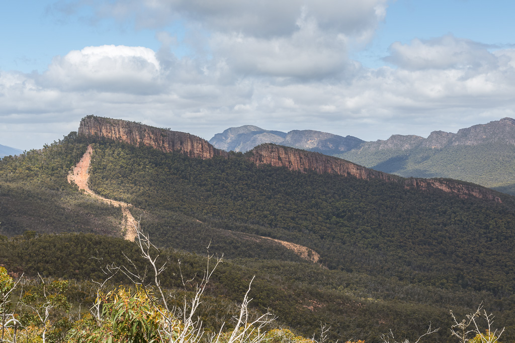
Oh, I bet you’re also wondering what amazing image I needed before going ahead with this narrative? Um… Don’t laugh, or get violent, but it’s the one above. It will all make sense later on, so don’t worry about it right now.
This walk in the northern Grampians isn’t a recognised one. Essentially it’s a bush-bash to the top of that huge lump of rock in the photo above. Ah, but there’s a secret to all of this. Here, I’ll show you a close up.
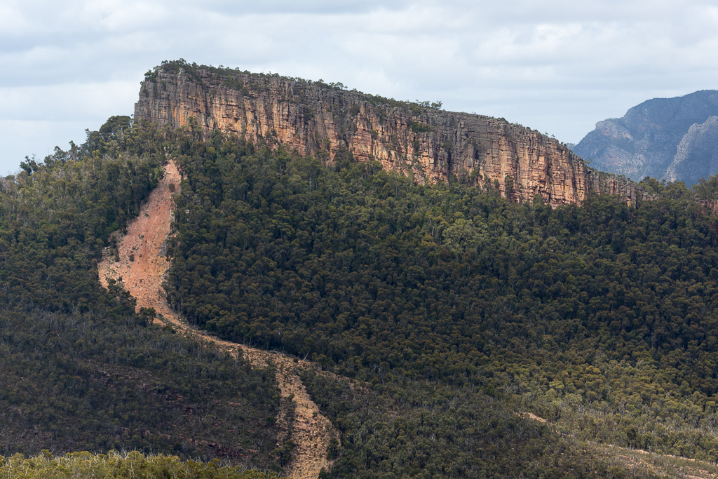
A few years ago, the Grampians was deluged in rain. I’m talking, ‘get the Ark out of the garage and load it up with the pets’ type of downpour. The result of this is evident above. An enormous land-slip has gouged its way down the hillside and left behind what can only be described as a walking highway. Instead of bush bashing all the way to the rock, a relatively gentlemanly approach has been provided by mother nature or possibly climate change.
Anyway, this is all good, but only a few months ago I’d never even heard of it. That all changed when I got an email. Usually the Fiasco Inbox is only full of Max Gentleman messages informing me where I can get cheap Viagra. How do they know me so well?
Besides all the usual stuff, there was one from Hans, who’s also known as the ‘Hanover Hurricane’. In it, he outlined three points, which were:
A) My name really is Hans.
B) For a hiker, you appear to be as soft as a tub of butter sitting in the boot of a car, which is parked in Satan’s car spot at downtown Dante’s Inferno.
C) Cathedral Rock exists, so why don’t you get your fat guts up it?
Mm… It certainly was a call to arms, so after about 0.23 seconds of research, I put together a posse to tackle this challenge and put it to bed, once and for all.
Who put their hands up for such a task? Well, Smuffin was one and I managed to convince him without actually telling him what the walk consisted of. If I did, he probably would have declined, so I’ve got to be circumspect about these things.
“Oh, it’s just a wander up a hill. It’s close to a road, so it’ll be less than 5 km and we’ll be home by lunch time”.
Naturally, this was a lie.
That’s not all, but another freak volunteered as well. Mind you, he’d been on some of my walks before, but previously he was known as ‘anonymous’, so although he was there, he didn’t exist.
This time though, he wanted to announce himself to the half dozen readers of this blog. What do we call him though? Smuffin is Smuffin, as his name is a mash-up of his favourite breakfast dish. Oh, it’s not Smurf either, as he doesn’t like it when people mix up his moniker.
This new bloke who wasn’t new at all needed something catchy as well. He was eager and declared, “Why can’t I be called the Ring-a-Ding-Ding-a-Ling or maybe the Piston Powered Pecker?”
Mm… Even though ‘RADDAL’ or the ‘Triple-P’ had a ring to it, we elected to focus on his occupation. He’s a botanist, so we had options of Bot-Man, Bot-Boy or plain ol’, run of the mill, ‘the Botanist’. In the end, I surprisingly went for the PG rated option, so he’s the Botanist from now on.
We rendezvoused at our usual caravan park haunt in the Grampians. It was there I produced all the maps and announced something surprising. I’m well aware that due to the Grampians hakea (surely the world’s most annoying plant) then any off-track walking will require a full get-up of protective clothing.
No, after seeing a photo of the landslip highway, I was confident I could get the walk done in shorts, which doesn’t sound too insane, as I’d have gaiters as well. Smuffin opted for the same, as it was a case of ‘one in, all legs get shredded in’.
Not the Botanist though. He perused the gaiters I’d brought and announced,
“You bunch of croissant munching funny boys! Wars aren’t won by men in gaiters!”
It was an epic speech and I was impressed. Well, it was part inspiration and part insanity, so one could only nod their head and ponder the statement. I quickly binned the inspiration aspect and concluded he was bonkers, as yes, he was going in shorts and with no leg protection. What on earth could go wrong?
So there you go. We all kitted up and headed to our starting point, which was Sheep Hills Carpark. I’m not sure if you’re aware, but this spot was formerly known as, ‘There are Sheep in Them Thar Hills carpark’, but was changed due to a protest from the Grampians cartographers.
This small parking area is more commonly used as the area where the tilt up Mt William starts, which then leads to the Major Mitchell Plateau. I’m sure you can find my previous adventures to both those places on the blog.
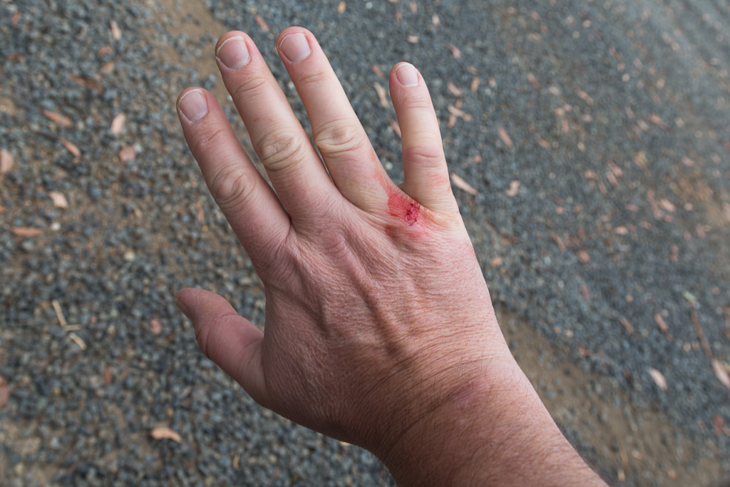
Arriving at the carpark, we quickly demounted and I was a little perturbed to see I was bleeding already and I hadn’t even taken a step. Is this possible? Somehow, yes.
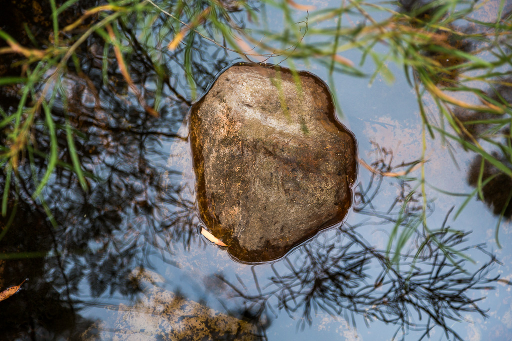
The Mt William track is wide and gave us a casual stroll for the first few kilometres. Our basic instructions were to leave the track at the second creek crossing. Passing over a small bridge on the first, there were some nice reflections on offer…
…before reaching the second crossing…
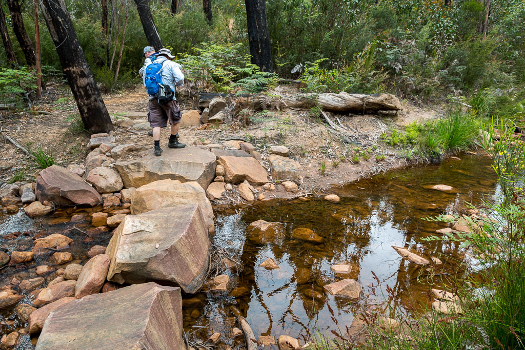
…that was our cue to don the gaiters (for some of us) and then leave the track to head south along the creek.
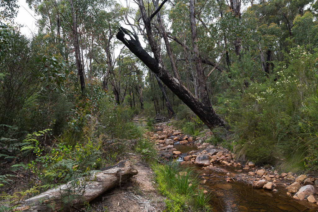
Beforehand, I thought this section had the potential for being a bit of a slog and someone had even gone to the trouble of marking it.
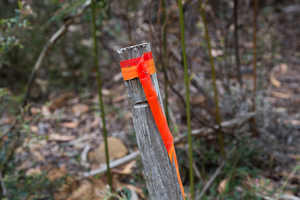
Yeah, I’m not sure why you need to mark the actual creek, but after a hundred metres or so, it opened out and was pretty easy going.
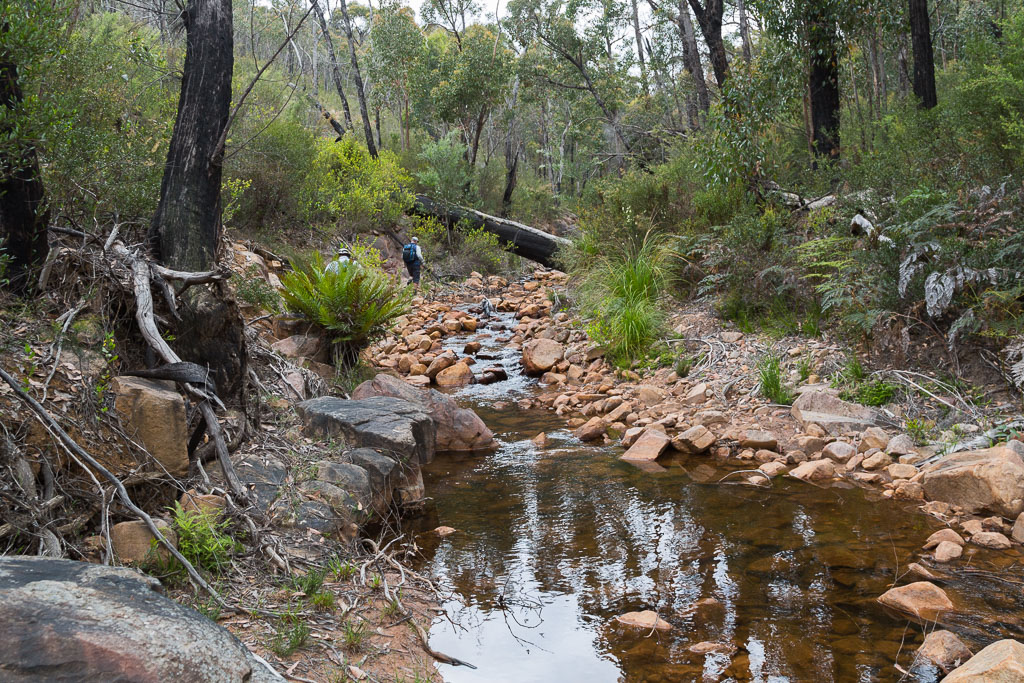
We continued to rock-hop…
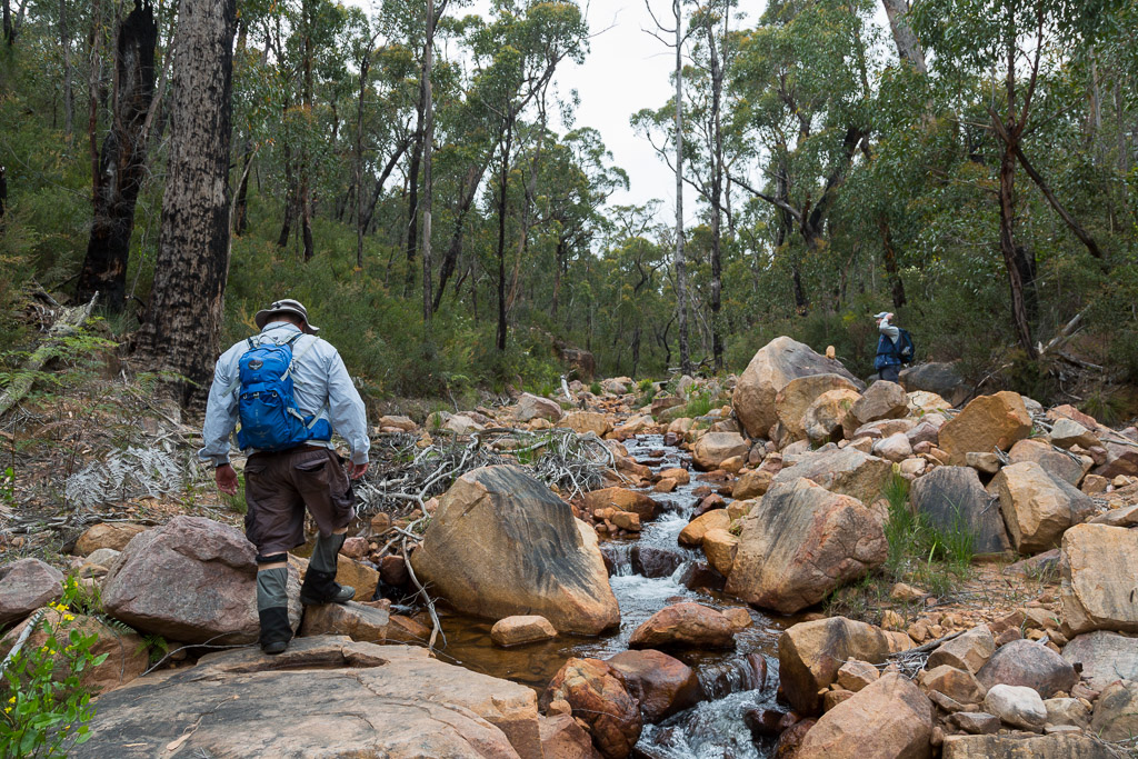
…before reaching the point we needed to leave the stream and then head straight for Cathedral Rock. This spot was easy to find as well. If you happen to miss it, all I can suggest is you get your Coke bottle glasses ramped up to Hubble telescope magnification.
I can’t even imagine what it would have been like on the night the rain fell and this landslide happened. I’d say I wouldn’t have wanted to be in a tent nearby, as the moving mass has gouged out a mark on the landscape from anything up to 100 metres wide.
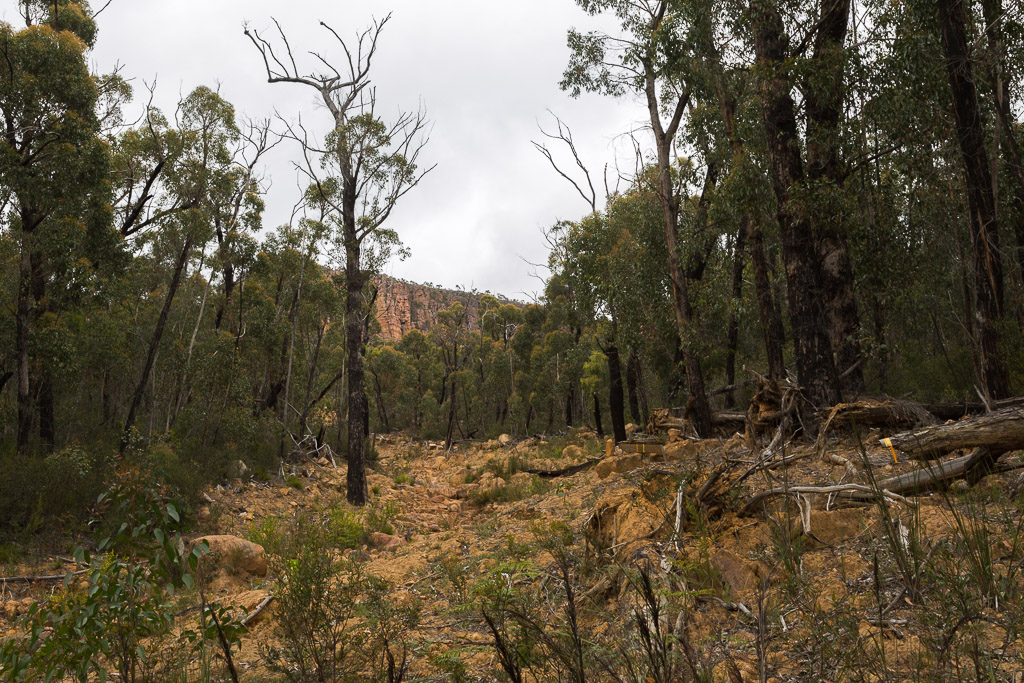
Landslip highway with Cathedral Rock in the distance
Surprisingly though, some trees survived the onslaught of debris. This one is dead and I’ve no idea how it didn’t come down, but the ‘high tide’ mark is still visible, complete with bark stripped off it.
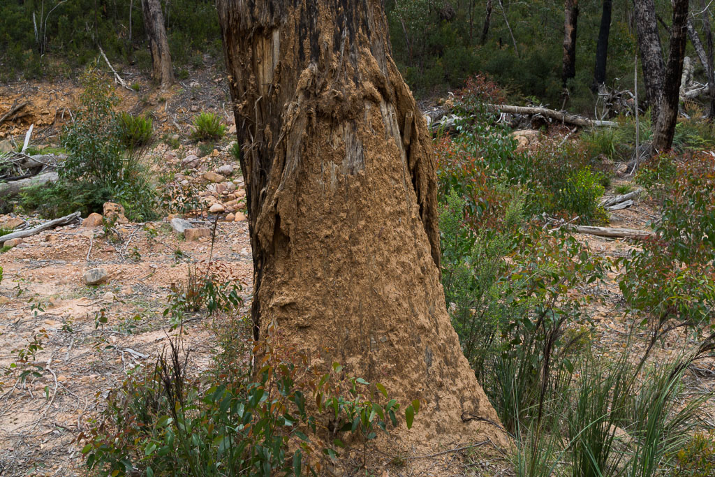
We began to walk up the highway of all highway walking ‘tracks’…
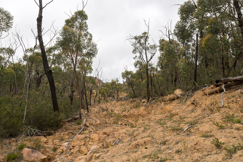
…before a halt was called. The Botanist had spotted something plant-like and it needed further investigation. I must say, generally on all my walks I have no idea of the names of plants I encounter. I used to spend ages online, trying to identify vegetation, so I could correctly label the photo before uploading it.
Guess what? I long ago gave up on that idea, as it’s way too complicated. Now if I see a yellow flower, that’s its name when I upload it. This might seem slack, but the angst began when I was trying to identify one particular eucalypt I’d come across. Sure, I’d find a comprehensive website, but it would ask, ‘tell us the name of the plant and we’ll show you some photos and give you the full details about it’. Can you see the problem here? I don’t know the name of the stinkin’ tree to start off with!
Anyway, with a bonafide botanist on hand whose name is actually ‘The Botanist’, we had an opportunity to clear up any plant identifying problems. A small bush stood out amongst the landslide debris and a book was produced for a precise identification.
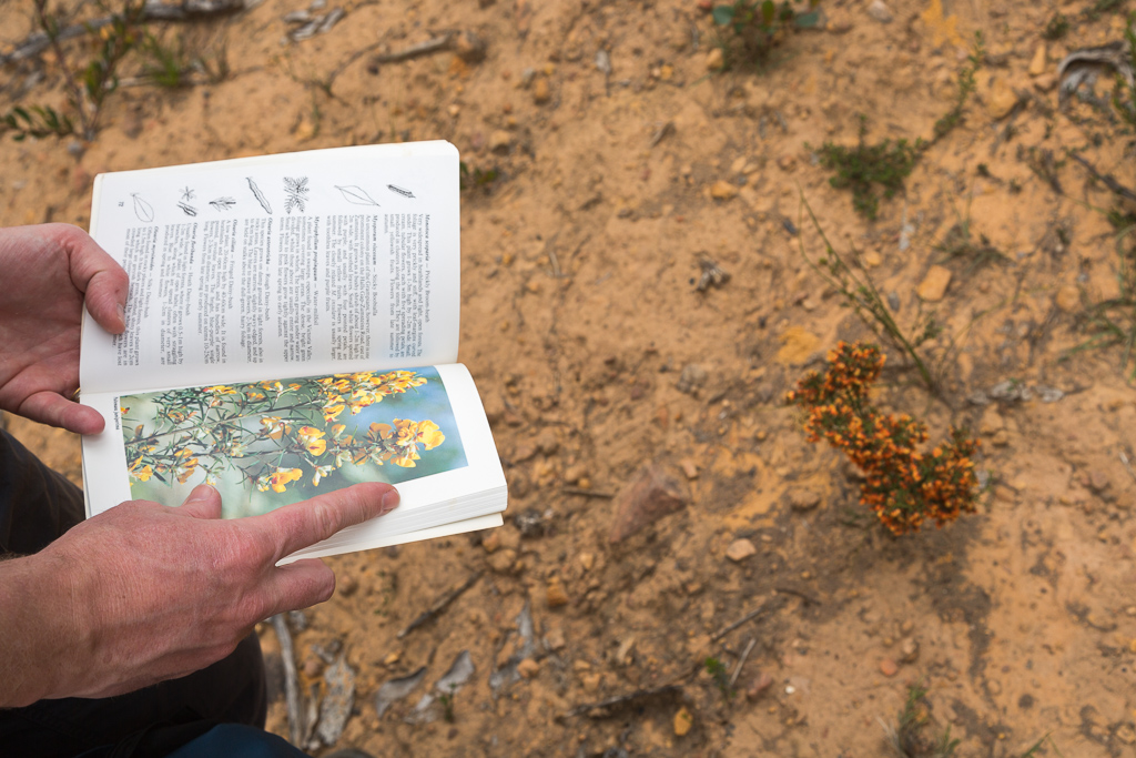
Smuffin and I stood by, eager to be dazzled with the full Latin name of this colourful plant. Our knowledge was to be enhanced with its expert description. “What is it?” I excitedly asked. There was a pause, a flicking through of some more pages and then an answer was given. “I’ve no idea”.
He then bent down, snipped off a couple of leaves as a sample for a later investigation, put them in his pocket and then walked off up the hill. I must say, that really wasn’t what I was expecting.
A week later I mentioned this to someone and they said, “Ah, but is he a good botanist or a shit one?” Mm… I was left to ponder, as I don’t know how to identify either. Maybe he was having a bad plant naming day?
We all get an off day when working. A bit like the time I was at work and in the church office of a priest taking a report of a burglary. Unfortunately, it was post-lunch and I was full to the brim with an Acland Street Dagwood sandwich. My partner was writing away and to this day, I still blame the soporific surroundings for what happened.
I think I was seated for about 12 seconds before suddenly my head slumped into my chest and I lapsed into a coma. Then began snoring. This prompted the priest to ask my hard at work partner, “Is he alright?” It wasn’t my greatest moment.
Moving on, we continued to head uphill and it was steady climb at all times. Not nasty, but enough to raise a sweat with a few sections steeper than others.
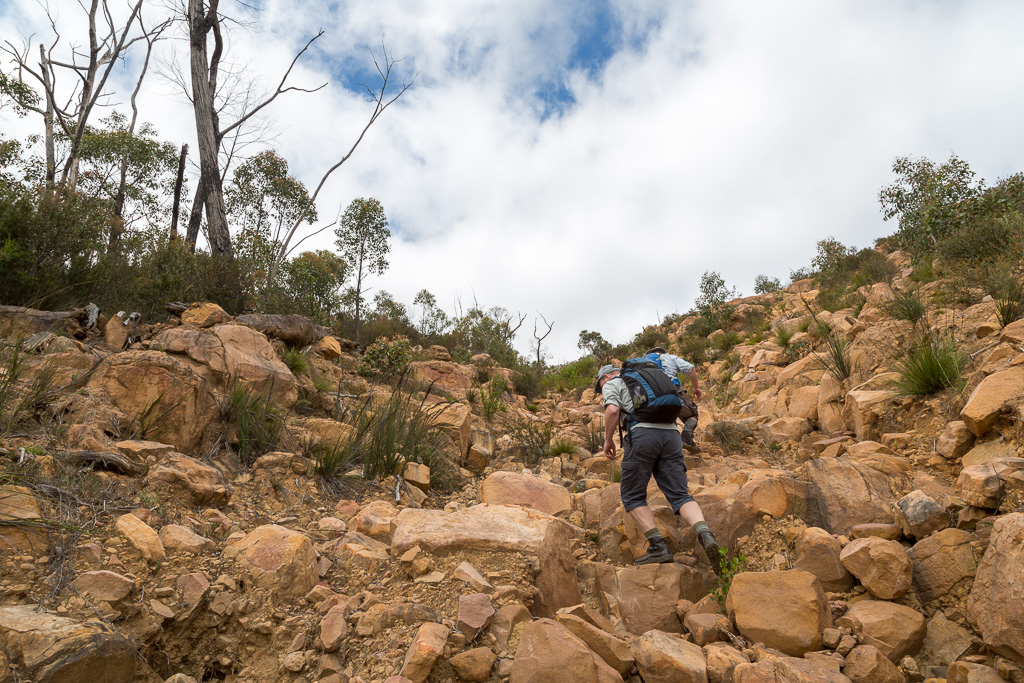
Looking back, we were starting to gain some height and the Mt William Range was clearly visible…
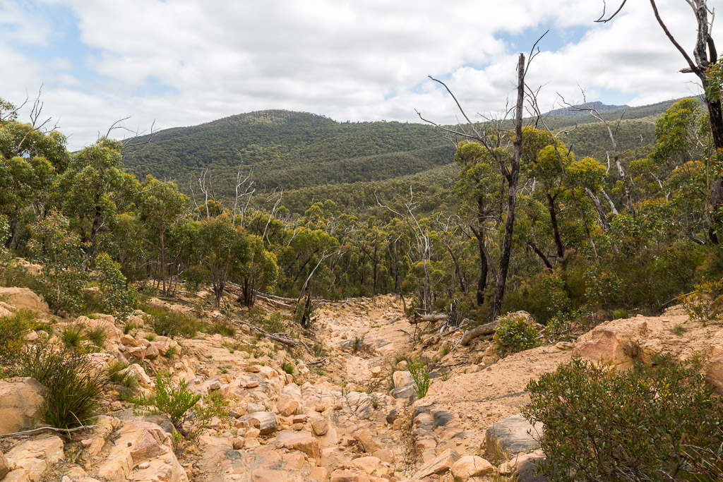
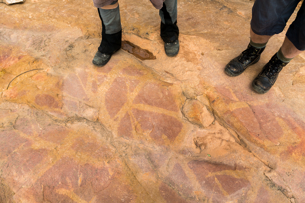
…before we paused again to examine an unusual colouring in the rock. If we only had another walker called ‘The Geologist’ or at least the ‘Stripey Rocktologist’ with us to explain what caused this pattern.
All of this was a pretty casual affair. Slowly working our way up the enormous gouge mark in the hillside. I was thinking it was a bit of a breeze. Until I collapsed.
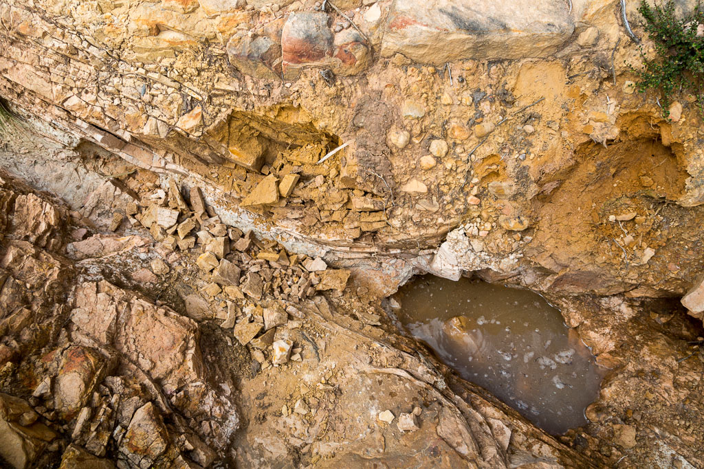
I’m still not sure what happened, but as I stepped on a rock, it gave way and I feel into some water. Huh? Yeah, I know. It might have been as dry as a nuns hat, but somehow there was water under the surface and it gave way under my two ton weight, leaving a hole and sending me arse-up.
It wasn’t too bad though, as during my lowering to the ground in pain, I managed to place the camera on a ledge above me, so it was left undamaged by my sudden plummet. How do these things happen? No idea, but here’s the hole and small well I created by stepping on a rock. Who needs to drill for water? I can just walk everywhere and you’ll get gallons of liquid. Maybe I can get a job in some arid places of Africa?
Wandering on, the climb continued…
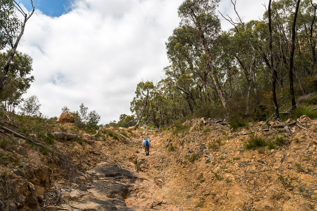
…before something attached to a tree caught our eye. It was green, but certainly not natural.
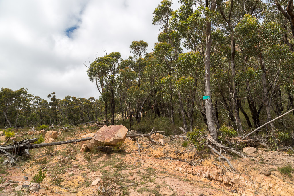
A closer examination revealed some tattered instructions…
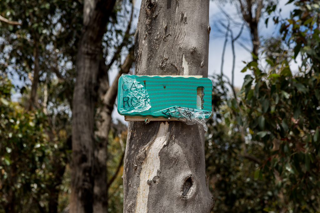
…that indicated a makeshift path through the bush to our destination. It’s lucky we were awake, as I was under the impression we’d follow the landslip all the way up to the base of Cathedral Rock itself. This isn’t the case and I’ve no idea who’s done it, but someone has been busy with scrub clearing.
That’s not all, but there were other similar markers, which if you can’t see, I got a helper to point it out.
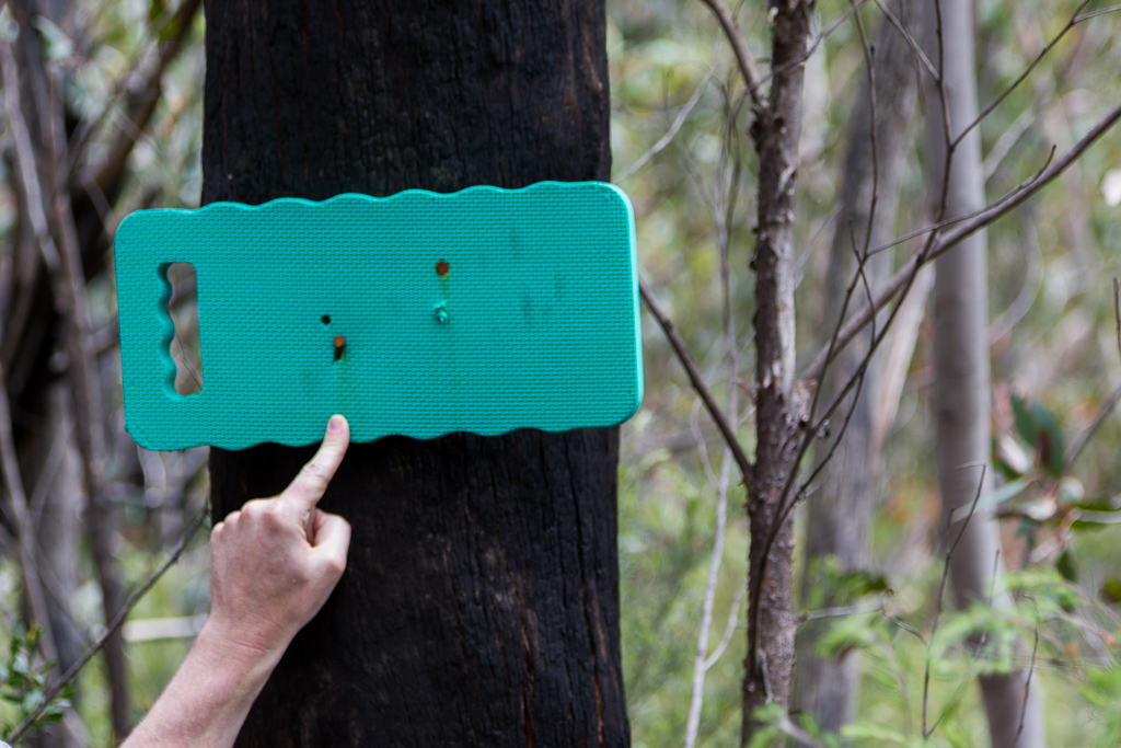
Sure, some might have been a little rudimentary…
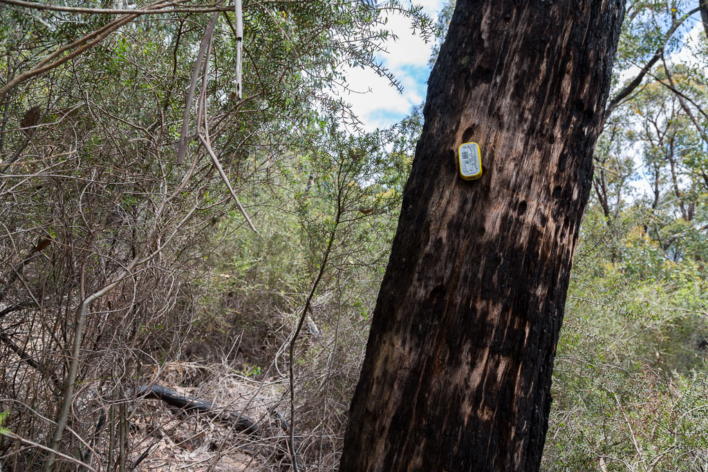
…but sardine can or not, it’s still classified as a track marker.
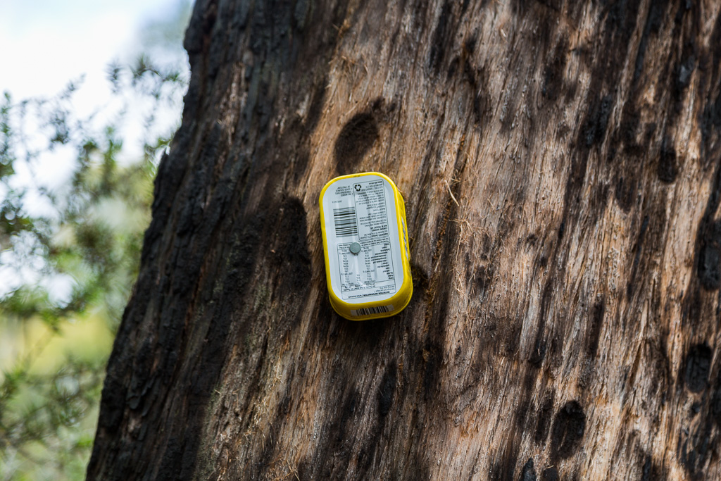
Oh, I’m sounding a bit relaxed about this bit, aren’t I? It was actually a proper slog, as the climb was steep with a loose surface underfoot to go with it. On a warmish day, enclosed amongst the trees, the sweat was flowing, along with the profanities.
We were aiming for the distinct notch in the centre of Cathedral Rock, which would give us access to the top. Any semblance of zig-zagging was gone, as the makeshift track went straight up a steep hill.
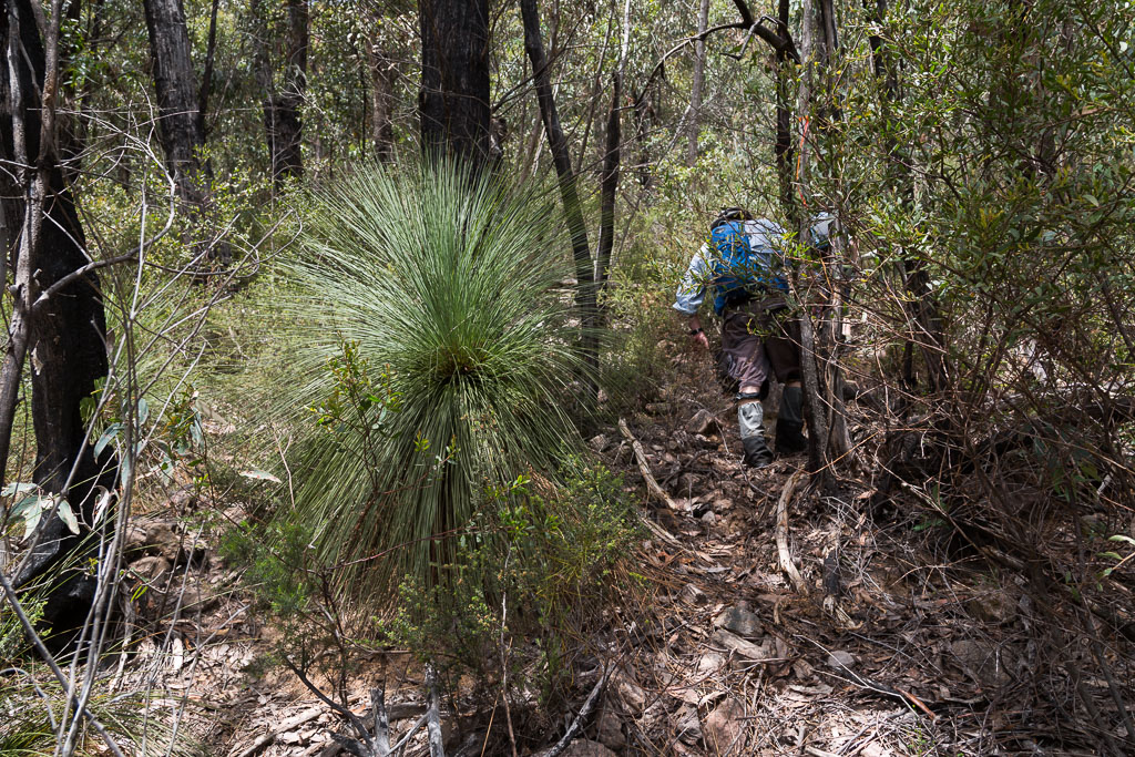
Gaiters or not, I was starting to get cuts galore on my knees and arms from the cursed Grampians hakea, but constant swearing made it less painful. We pushed through the bush, with glimpses of Cathedral Rock appearing…
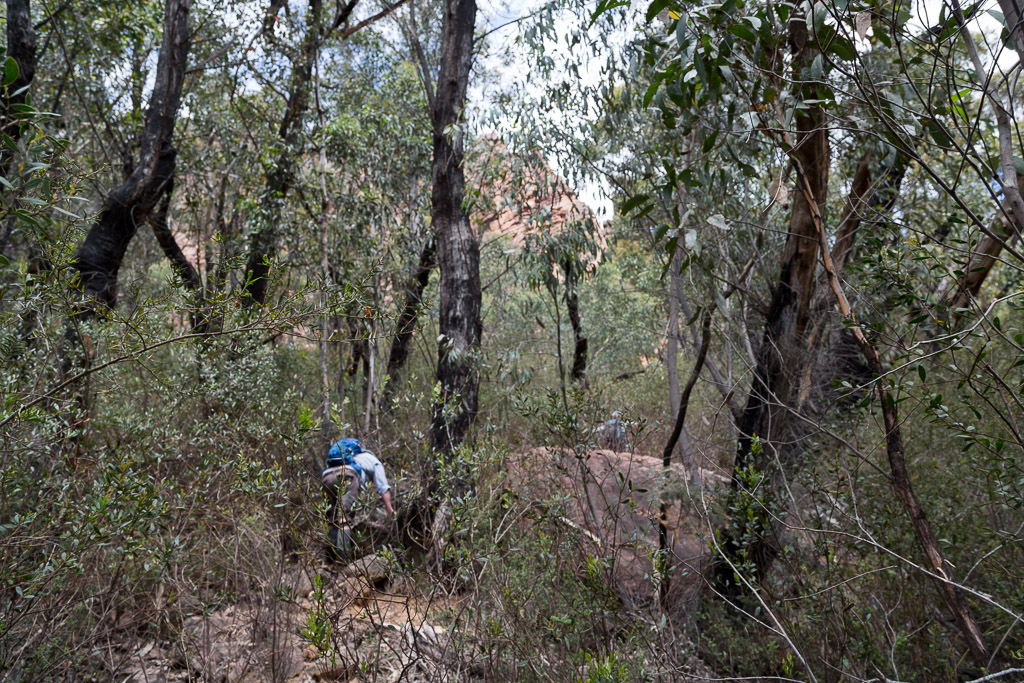
…before we arrived at the base of an enormous buttress.
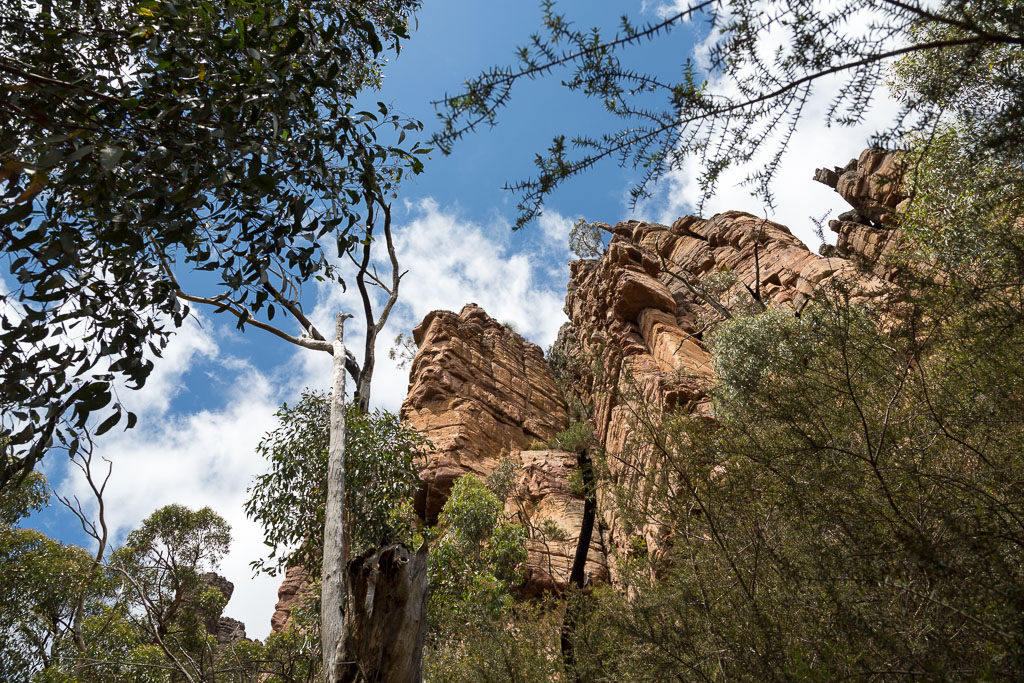
We still weren’t quite at the ‘V’ notch though, as suddenly the path pushed on through the bush again…
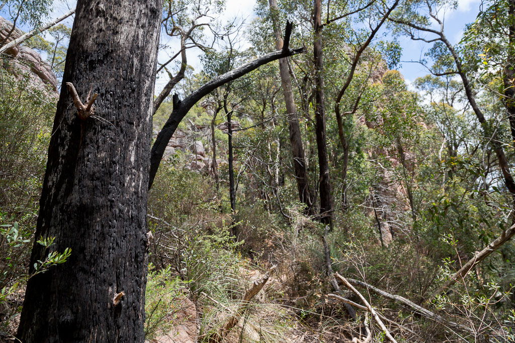
…before an opening was clearly visible.

Finally arriving under an enormous wall and out of the scrub for the time being…
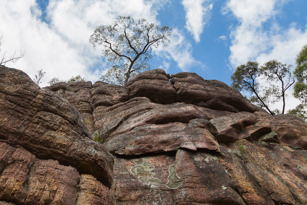
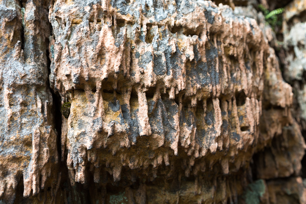
…it gave us an opportunity to take a brief break. Whilst doing so, we had a chance to examine some unusual looking rock next to us. It almost looked like dripping wax.
At the bottom of these towering walls, it was a bit hard to see what was going on. That’s one reason why I went back there to get some distance shots, so the whole walk can have some perspective. Here’s a long shot of the notch, which was our climbing route. Oh, it’s probably not officially called a ‘notch’, but it’ll do for the purposes of this blog.
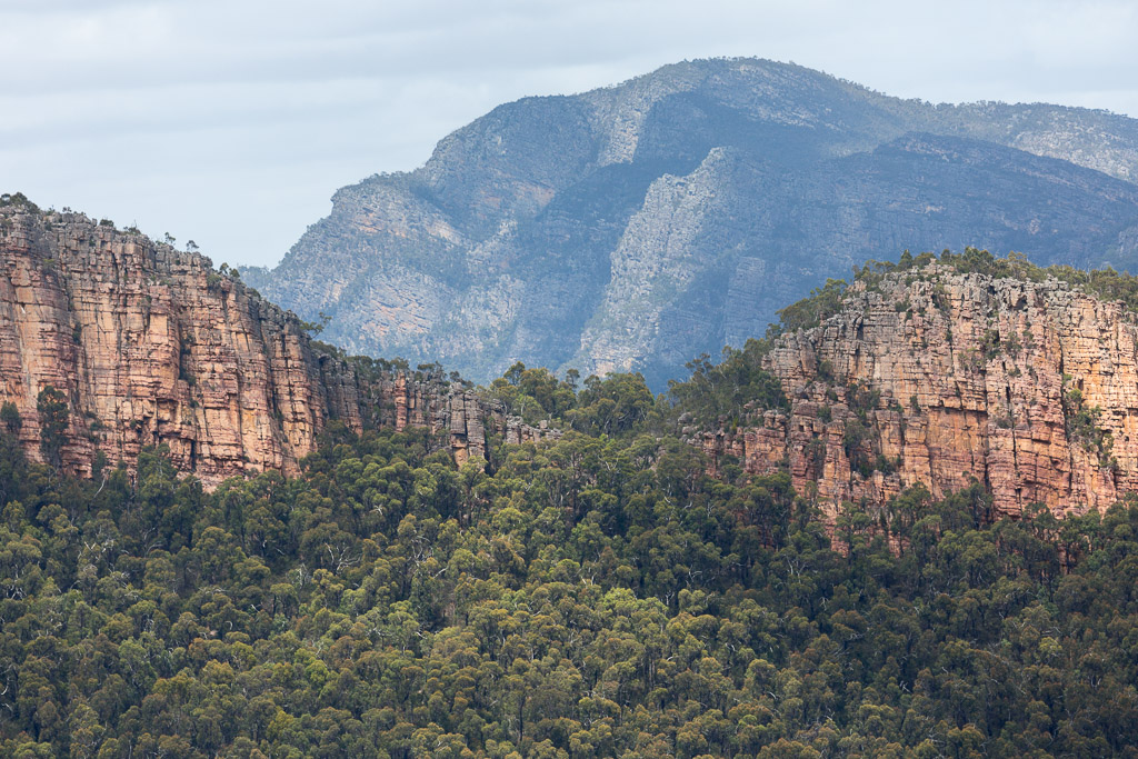
Pushing on, it was time to head left and try and find the highest point, which we’d been told was marked with a stone cairn. I actually thought the scrub would be lighter as we got higher, but it didn’t work out that way.
There were some quality scratches being dished out by the hakea, as we weaved slowly around boulders concealed in the head-height scrub.
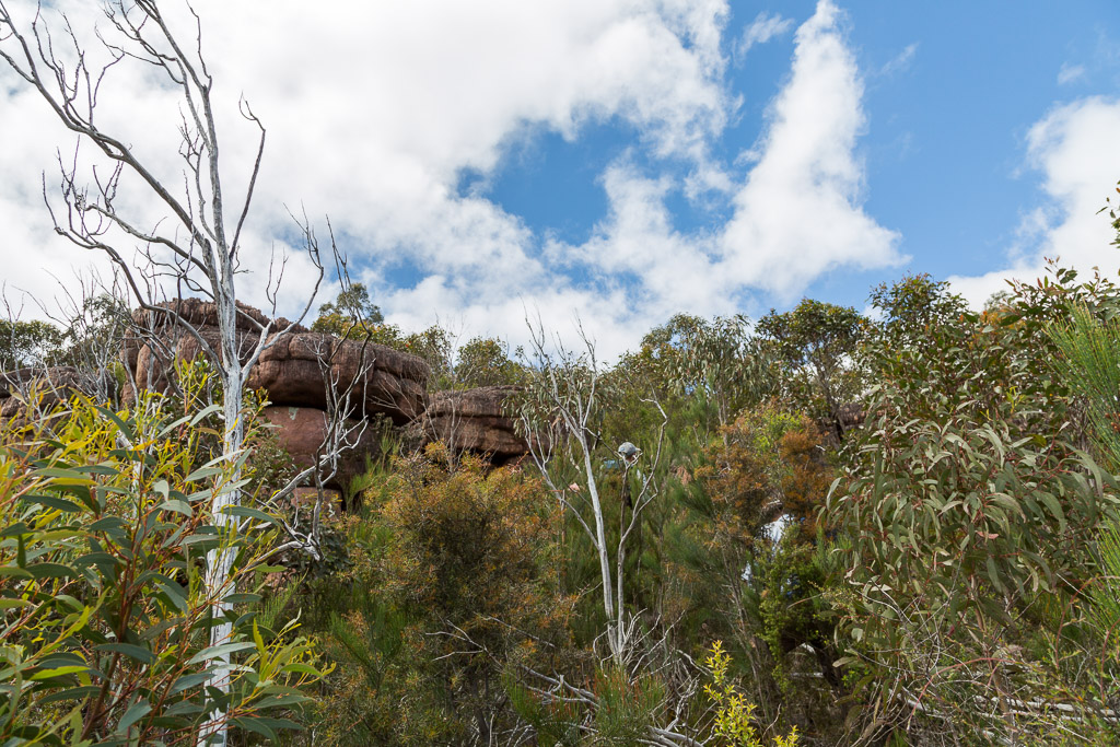
The occasional cairn made an appearance, but it was more a matter of trying to find the best way without leaving ones skin behind. Clearly, Hercules had climbed this in the past, as upon a boulder, he’d left behind the worlds largest cairn.
After clearing an annoying little rock band, we finally reached a height where we had a clear view of our surroundings. Here’s the notch, now behind me as we continued upwards.
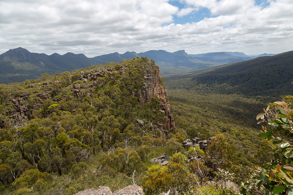
We were gaining height quickly and the vertical walls to the side were looking impressive. As long as we didn’t fall off of course.
It was interesting to see vegetation growing in unlikely places. This grass tree sat on a tiny ledge…
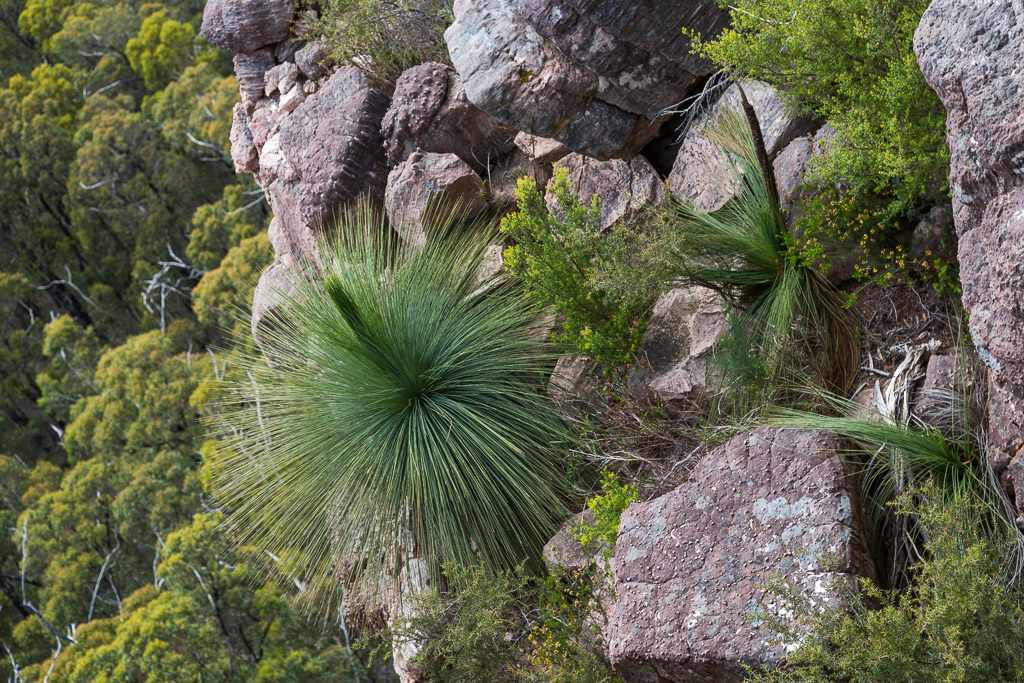
…which sat above a vertical wall, with the ground a hundred feet below.
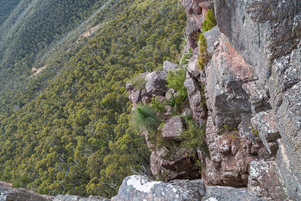
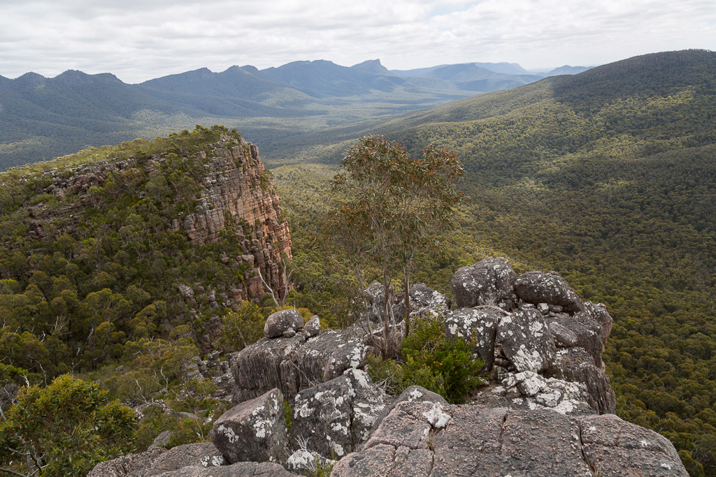
Behind us, the view was pretty impressive…
…and this dead tree made a perfect off-set subject for a photo.
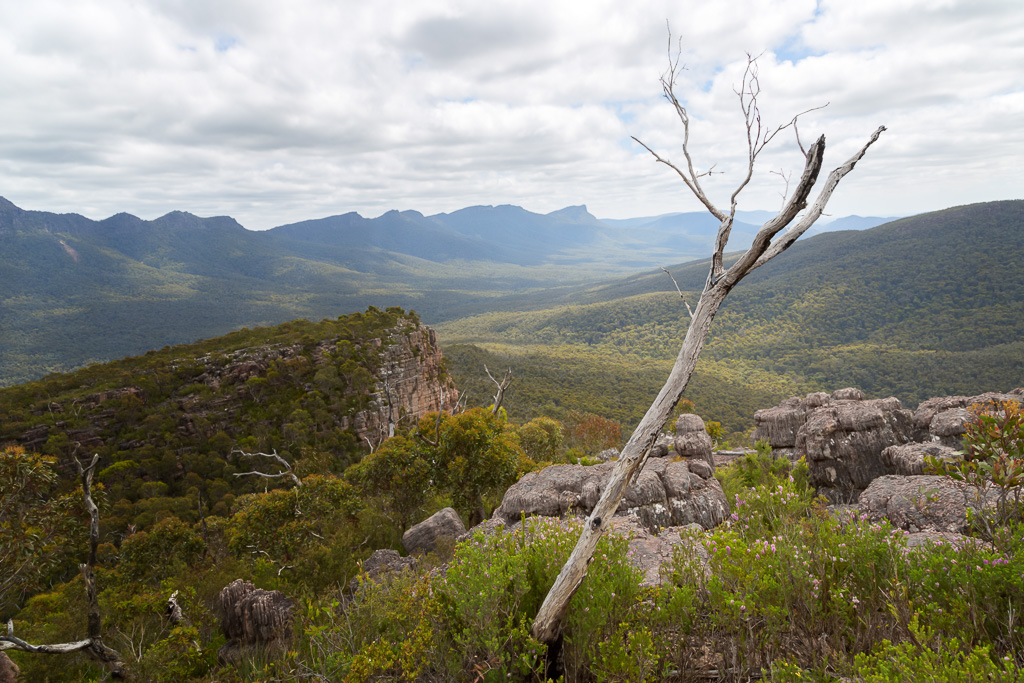
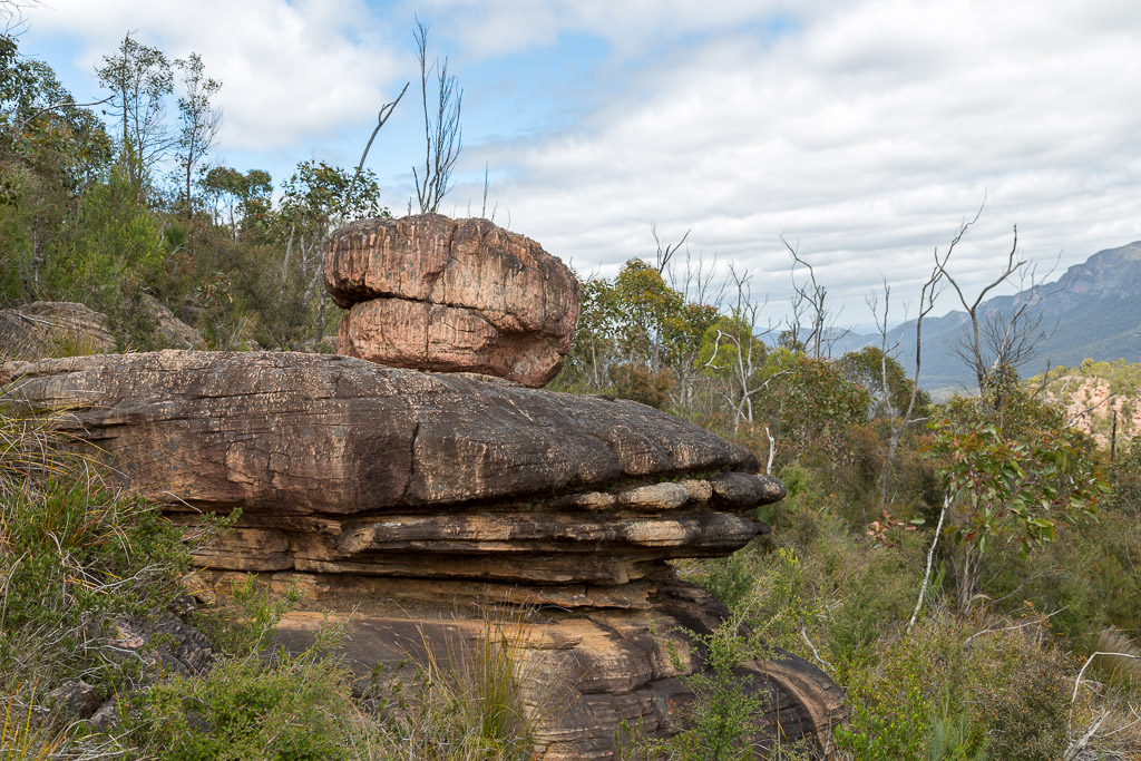
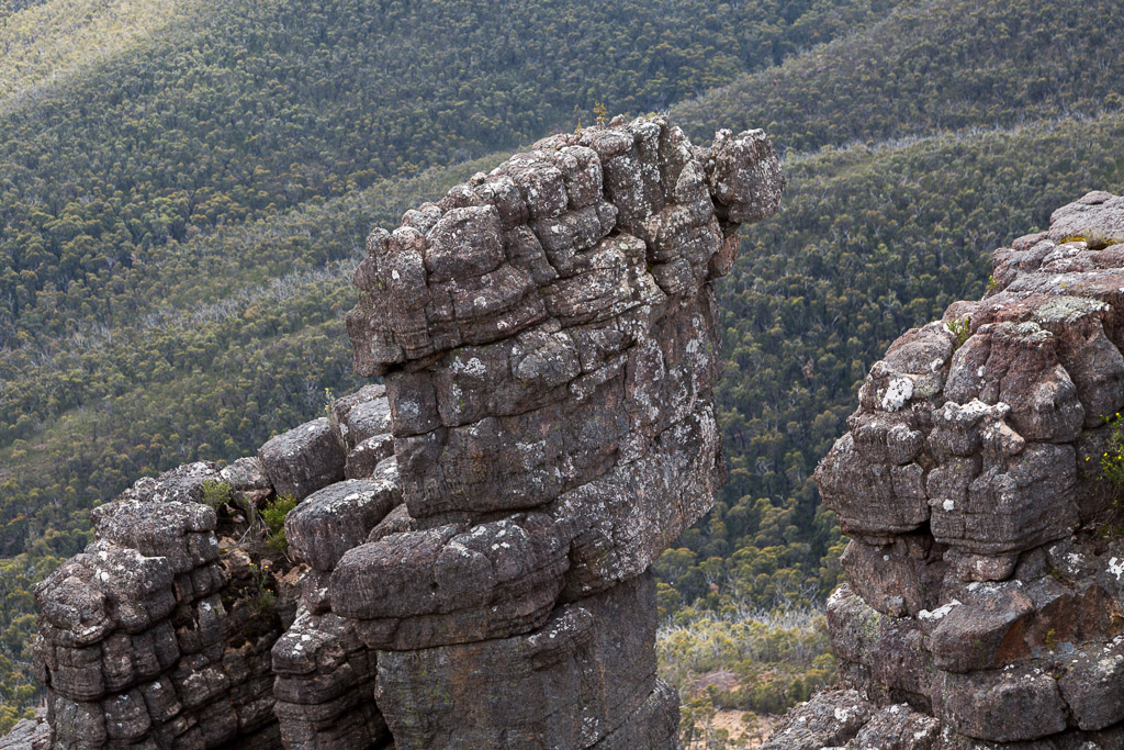
Amongst all this wide-eyed staring, one particular column of rocks stood out. Triple-H (Hanover Hurricane Hans) said it looks like an eagle. I’m not sure, but if you dim the lights, hit yourself across the back of the head with a large rubber mallet and then look at it again, you’ll see he’s definitely correct.
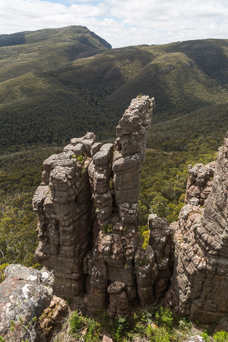
The eagles beak (or small rock at the top for you purists), suspended in mid-air was interesting and it created come conjecture amongst my fellow, blood covered hiking companions. The Botanist said it wouldn’t last more than a hundred years before falling off. Smuffin was adamant it would take at least a thousand. I on the other hand, argued if I could only step on it, right at that moment, I’d guarantee it would fall in 2015.
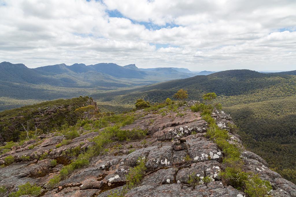
We’d reached a lovely, clear shelf of rock, thankfully devoid of leg scratching scrub and it seemed the perfect place to have lunch, complete with an expansive view to boot.
Things are never that simple though, are they? We knew there was a cairn up ahead and if it wasn’t reached, then had the rock been climbed? Smuffin was happy to down tools, but the Botanist was focused and really, I had to agree. I was cut to ribbons, so a bit more slicing and dicing wasn’t going to make much difference, as we faced another wall of scrub. Shouldn’t the bush have thinned out near the top? NO.
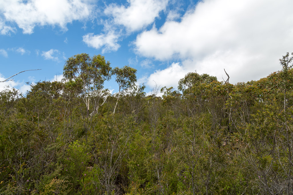
It was actually the worst of the hakea in this section, but a lone tree stood out ahead and we figured we’d at least make it to that point, as it appeared to be the highest thing around.
The Botanist vanished into the bush and after about five minutes proclaimed he’d found the cairn. Smuffin and I bashed our way to location of the voice and he was correct. We’d made it and it’s not a bad one either. Obviously the place has been well visited over the years or either one group had put in a mighty cairn building effort on their trip.

Anyway, it was all over for the time being and with some open rocks nearby, it was the perfect place to stop for lunch. Not to mention the sights whilst munching on sandwiches. A commanding view allowed us to view the Serra Range all the way to Mt Abrupt in the distance.
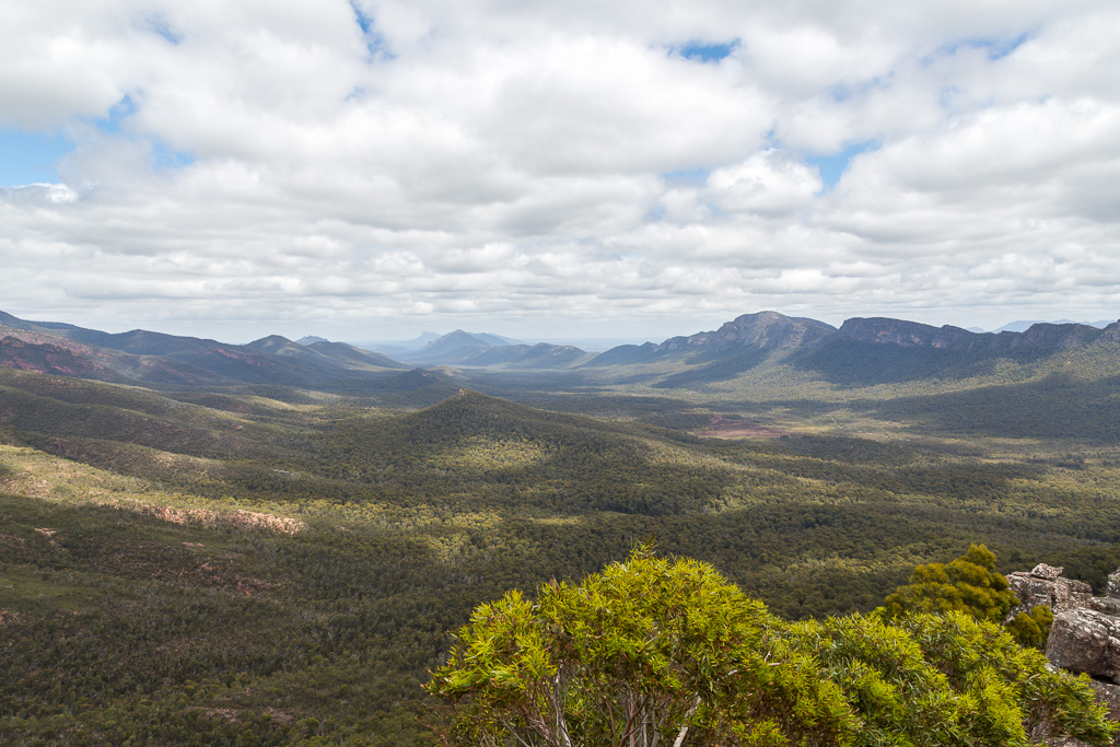
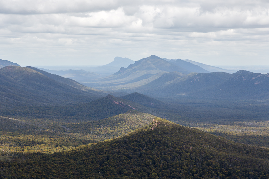
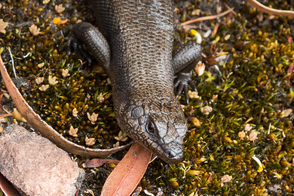
It wasn’t all about wide open vistas though. An inquisitive skink kept poking his head out from a nearby rock. Every time I moved he’d scurry away until eventually he decided to risk the enormous interloper nearby, as he was probably desperate to soak up some warmth. Cameras can be deceptive…
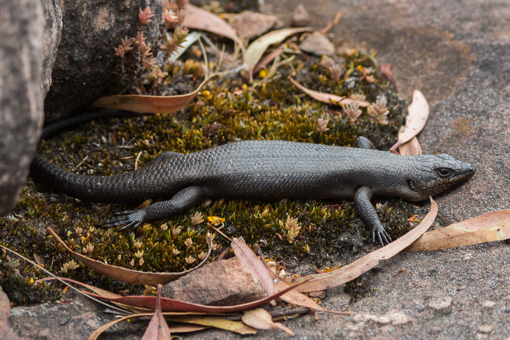
…as even though he was only six inches long, somehow I’ve made him look enormous.
That’s not all. In the theme I mentioned earlier of vegetation growing in unlikely places, this tree clinging to these rocks was another. Frankly, I think it’s already dead.
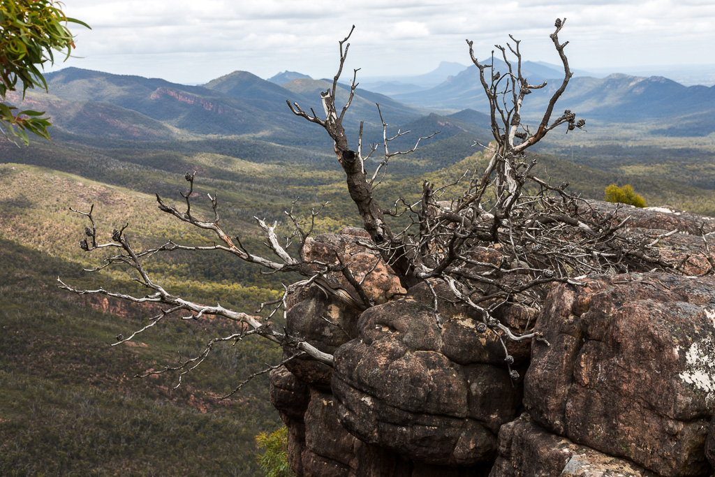
It certainly was peaceful at the top and I guess we stayed put for about an hour. Unfortunately though, the good times don’t last, as we had to face the whole thing again, except this time descending. The best thing about a new place is not knowing what’s ahead, but now, we knew exactly what we’d have to bash through to get down.
Heading off, it was time to wander in the delightful, Grampians scrub…
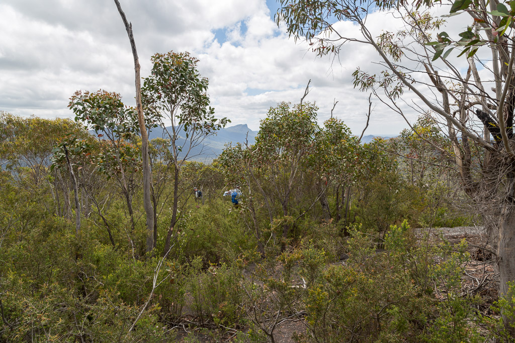
…before exiting out on the rock shelf where we first contemplated lunch.

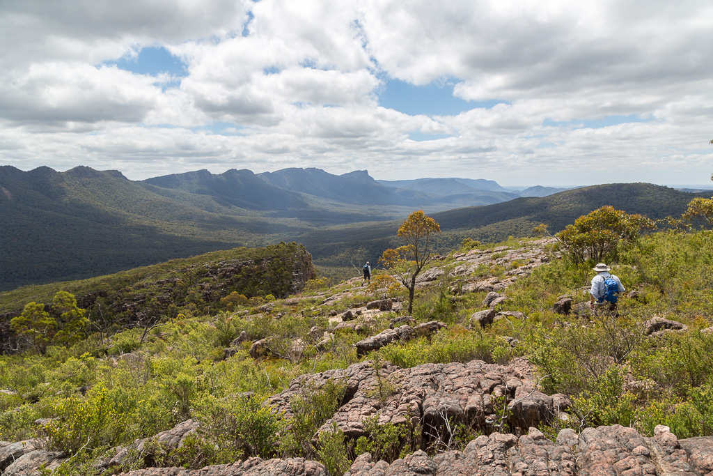
Then it was time to head into the bush again…
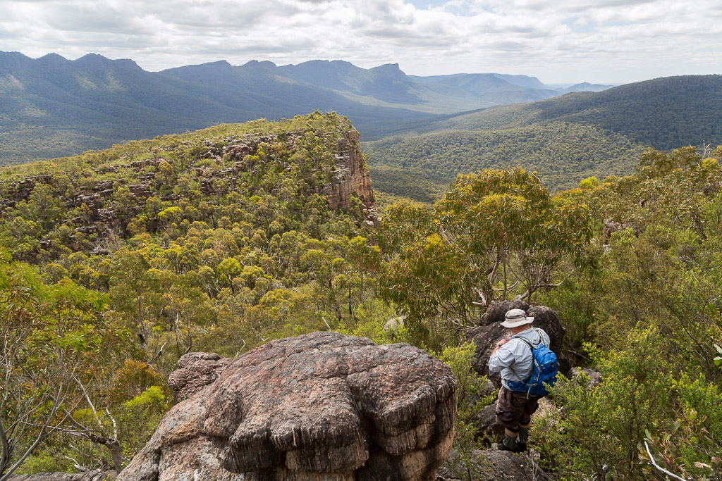
…and into the notch with it’s manic, bushy track. Going up was hard on the lungs, but this descent killed my knees. Maybe I should take trekking poles on all my walks now, as any downhill walking is felt for days after. It didn’t help that every step had to be placed carefully due to the loose surface.
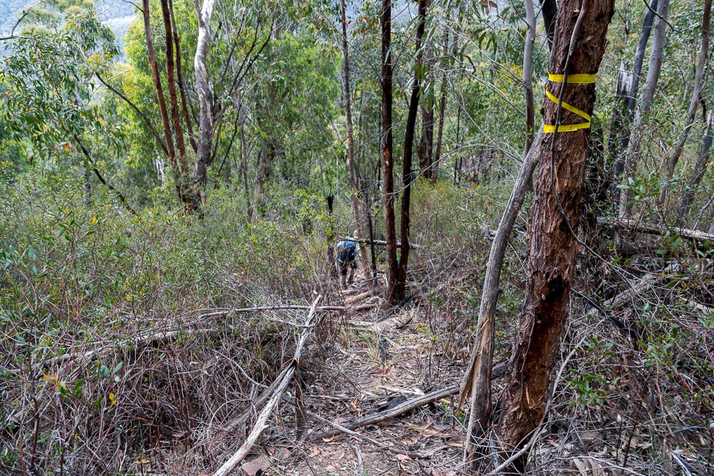
I must say, I was glad to reach the gouged out, super walking track, as at least we were in a scratch-free zone for the rest of the trip.
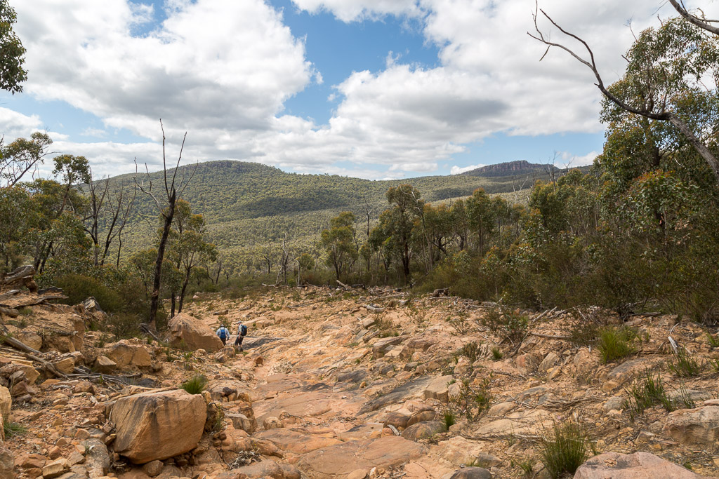
I hit hobbling mode down the long hill and was glad to reach level ground at the creek. It was a matter of a short wander in the late afternoon…
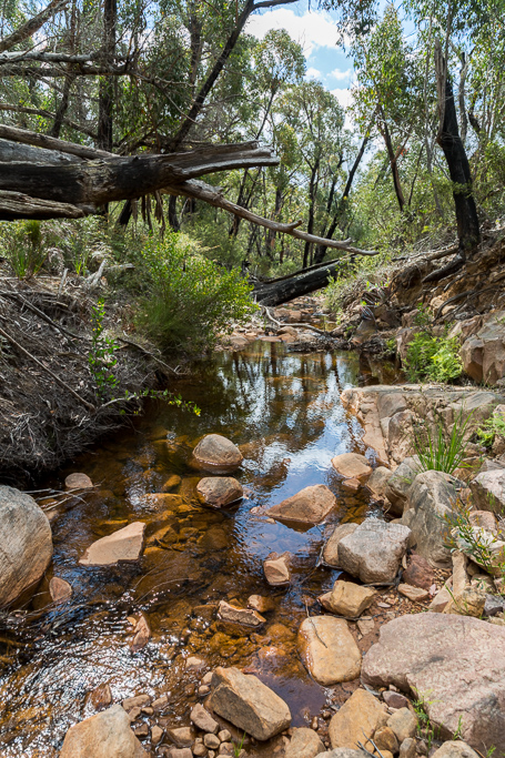
…before arriving at the Mt William walking track with only a few kilometres back to the carpark.
I must say, I was glad to see the vehicle as my legs were stuffed. You know how I always take photos of bodies bleeding on walks? I’ve never had such sliced knees before and I was going to get a photo, but I was too stuffed to bother.
Likewise with Smuffin, he was bleeding all over the place and I just forgot about it. How did the Botanist go without the gaiters? I’ve no idea what happened, but he barely had any cuts on his legs. How does that work?
I can only assume his lithe build went around cutting bushes, whereas Smuffin and I have a bulldozer approach that guarantees skin slaughter. What was interesting is I was the only one to have demolished knees. I’ve since come to the conclusion that when I walk, I lead with the knees, not to mention they’re big. Yes, I have big hooter knees. Do you want to see my knee rack?
Anyway, it was done and hopefully Triple-H was happy. We then got in the Smuffin-mobile and high-tailed it to a Halls Gap bar where ciders were drunk and DNA was left on the seats.
Would I do the walk again? Probably not, but I did have a far-fetched idea about climbing the rock and spending the night up there. I couldn’t see any clear spots to put up a tent, but a bivy would work. The idea of spending the night is for sunset and sunrise photographic reasons. Maybe. Finishing up, Cathedral Rock, Grampians is a bit of a rough and tumble affair in places, but on the whole not too demanding.
This has been a mega-post, so what’s next? I’ll tell you what it’ll be. It’s another Grampians number on a well known path, but I decided to add some off-track excitement. This was a great idea until I had the ‘Mother of All Falls’. You’ve no idea how big it was and as I was on my own, I don’t have any pictures to show you. In order to give it justice, somehow I need to get my head around explaining it in suitably graphic detail. Let it be known I haven’t walked since, as major bodily pain was inflicted.
Oh, I’m not sure when this post will be, as I’m seriously thinking of a blog template upgrade shortly, so wait and see.
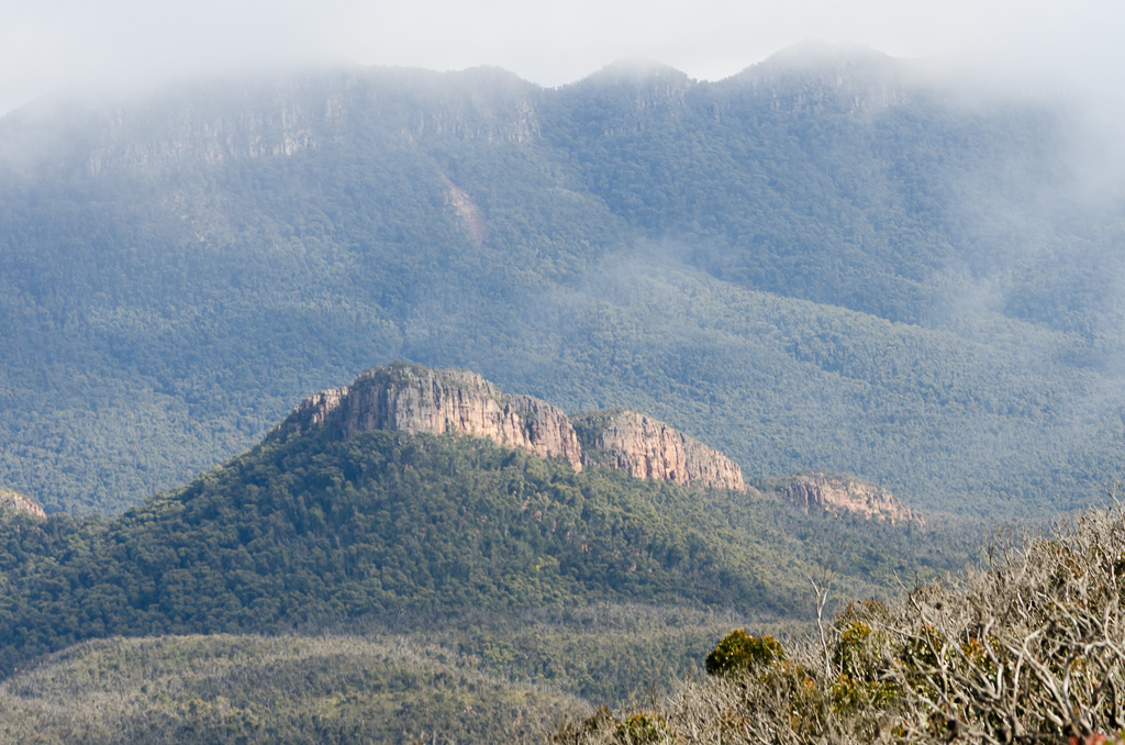
I’ll leave you with another view of Cathedral Rock, which I actually took way back in 2012 during the Major Mitchell Plateau walk. I think the low cloud gives it a bit of mystery and I’m sure we all like a bit of mystery.

You climbed Cathedral Rock? Awesome! It’s always a spectacular sight on the way to Mount William and onto Major Mitchell plateau. Shall attempt soon!:-)
Ha ha… You almost sound surprised I did 🙂 Yes, it’s a perfect walk for your group! Hard for me, but a doddle for the lean, fit brigade.
Actually, that last photo on the post was taken during the Major Mitchell plateau walk. At the time I saw it, took photos, but didn’t even know its name. Now I do 🙂 Oh, I will do the Wilderness Coast posts eventually. Might be a few years late, but I’m getting there!
Feel a bit wrong being the first to comment although I very much enjoyed the post. Jane, where are you? Could you do the traditional honours and I’ll pop back later with my 5c worth ? (Sorry to tread on toes). Calling Jane!….
Oh – third to comment? That happened all of a sudden. Right then..
Nice post – no mention of GT but swearing involved all the same – which is good.
Seems like an excellent tip from Hurricane Hans, even if it turned out slightly punishing.
Lovely little (giant) skink pics, laughed at the man-of-the-cloth/burglary coma anecdote, distance photos of the notch and rock itself worth the wait.
Only complaint (do you have a complaints department? – most blogs do) is the description of so much blood with no accompanying documentation. Made up for by high quality photos and grouse writing.
‘Nun’s hat’ indeed…
I’m sorry to say, but you were a bit too quick to claim first comment glory. If it’s officially a glory 🙂
Ok, as a very amateur geologist, I’m inclined to speculate wildly and say that those clay striations amidst the tesselations are caused by erosion channels in the sedimentary layers that have filled the gaps caused by erosion amongst the igneous matrix. That igneous stuff is verrrry old, cracks may have been formed upon subductive movement of plates.
Or, it could be aliens, kinda like Erich Von Daniken used to bang on about, making leylines to allow future people like myself to rabbit on in a quasi knowledgable pseudointellectual manner. Thanks, aliens.
If Furhead reads my comment, I send my sympathies to him for missing out on first comment “glory.” It’s one of the few thrills I get out of life these days, so I can relate to the disappointment. I missed out this week. Damn. I’m losing my touch! 😉
Okay, enough joking about. Loved the post. What an awesome walk, and I rarely use that word. How amazing is that landslide? Imagine watching it happen? Thanks for returning to bring us that photograph. I can see why you felt it was crucial to the post.
I must admit I needed more than one cup of Dilmah to get through the post. The terrain was exhausting me and I’m just lounging in my armchair. I empathised too much with your pain and suffering. Fantastic scenery though despite the million cuts. What great views from the top! All that interesting geology is such a drawcard for a rock-crazy hiker like me. I hope I get to visit the Grampians one day.
Thanks for the humour as well. Always good to lift the spirits after a week of depressing world news. You’re on fire, Mr Fiasco. 🙂
I love what you’ve written! It’s interesting, as these patterns were in the middle of the landslip section, so they’ve been uncovered and I’ve no idea how deep there were under the surface beforehand. Intriguing landscape 🙂
Are you a mind-reader? When I was writing the post, I was going to include a Erich von Daniken gag about the very same thing! I remember those 1970’s days of ‘Chariots of the Gods?’ I used to think of it in wonder and then I woke up and realised all he’d written was bull-twang 🙂
Yeah, expletives were common and not just said, but frequently shouted. If the walk was a bit longer, I reckon I could have invented some new words 🙂
I think Hans might be mortified when he realises he’s made a mention in here! It sounds like he knows a group of blokes, all 60 plus who are churning through all those tricky Grampians walks. I might have to liaise with him a bit more and see what others he can recommend!
Look, even I’m disappointed by the lack of claret photos, but using the DSLR, sometimes a bit of work is needed for a reasonable photo and I was done by the end of the day. I do think I need a little compact with me for the occasional photo. Actually, my knees looked like a razor had been at them. Not just red marks, but full blown blood covered knees! Due to my fat knees, I’m looking at some sort of knee protection. Something is needed or I might bleed to death one day 🙂
I thought this post would crack the 4000 word barrier, but alas, I topped out at 3800. Maybe next time, as the next Grampians one is bonkers.
Yeah, the Head of Fur got a little toey with the instant comment method. I don’t think the ink was dry before he let rip with his initial comment!
That landslide is not the only one up there. In my Mt Abrupt post, there’s something similar. At Abrupt it cut the path in half and they closed the place to rebuild it. That was another massive slip! I noticed along the Serra Range there are a few more on various peaks. That rain must have been seriously mental! I remember reading about it, but had no idea how big it was at the time.
The thing is, I’ve only touched on the Grampians. I’ve got book sent to me by a bloke that’s got 100 walks in it! Just doing the Tempest 100 walks book has been bad enough, let alone a 100 in the Grampians. Mind you, the notes are old and a lot of the walks have since been swallowed up by the bush. I think there are at least five more that interest me and now it’s a matter of doing them and hopefully avoiding the upcoming stinking heat 🙂
Jane, Greg, – konichiwa !
Despite pumping Death or Glory at high volume here in my nthrn suburbs kennel, the glory of 1st comment on the post would have been undeserved.
I’m after all a johnny-come-lately arriviste here ..
I didn’t know about the Mt Abrupt track washout – I think I was last there 2010 (year before the flooding?) I’ll scamper off and read that post now. 🙂
Your 100 walks in the Gramps book can’t be my man Tyrone’s publication, as I think from memory that he topped out at 80 Walks in the Grampians
I don’t mind who comments first, as long as someone in the world comments, seeing how I lost two days of my life writing the stinkin’ thing up 🙂 I think Death or Glory applies to blogging!
Yeah, Mt Abrupt has the big gouge down the side as well and there’s a fancy new path through the landslide. Actually, the walk I’ve got planned with Smuffin and the Botanist is there. We’re aiming for Signal Peak from the Abrupt side and then down the other side of Signal to Cassidy Gap Road. It may or may not be successful 🙂 We’ve just got to get the right day now, as summer is not the larger gents friend!
Don’t worry. I’ve ballsed up the Grampians book. You’re right, it’s the TT 80 walks version. I do have another series of about 50 from a walking club, but they’re doubled up with Mr TT. Whichever way, there seems to be enough to do for the time being. Particularly since Cathedral Rock isn’t in either!
Cathedral Rock in the Grampians can not place it so looks like I have to get my old maps out.
Looks like you had a lot of “fun” while you were up there.
Yeah, join the club. I’d hadn’t heard of it two months ago either 🙂
Actually, here’s the link to the GPS file, which will give you a better idea. I used to add these to the blog, but they kept getting corrupted, so it wasn’t worth it any more.
https://www.strava.com/activities/432223135
Hey Greg
Finally got around to writing about it, nice 🙂
Tyrone Thomas had 2 versions , 100 and also 80 walks in the grampians. Cant recall the difference, but i think i read somewhere he was pressured to leave the stapylton – hollow mt loop one out of the later addition.
I have this on my list of walks to do at some stage, the ever growing list.
Craig
Hi Craig, I reckon you’d like this one. Faster walkers will have it all done within 4 to 5 hours? Not too gnarly until reaching the final climb? Right up your alley!
Yeah, I swear he had a 100 walks book! Thanks for letting me know I hadn’t gone nuts 🙂 Ah yes, the Stapylton – Hollow Mountain combo. I’m like you. Yet another walk added to the list! Can’t do them all though. Even the Signal Peak shuffle has been put on hold, as every time I arrange a tentative date for it, the weather has been a scorcher. One day it’ll be done though 🙂
was going to have a go at the craziness of hollow mt – stapylton last time i was there. climbed up on top of hollow mt. had the gps out, and thats about as far as i got. i met 4 others planning on doing the same. we think we could see the start of the route but when they saw it, they werent all that keen, and to be honest, i had left my nuts at home that day. there was a group coming back from the stapylton end and they said it was harder now the fire had gone thru. they had done it previously.
we ended up just climbing stapylton via the tourist track.
Mm… Sounds interesting. As per usual, there’s stuff all online about it, so I’ll just have to make the trip one day and have a look at it! Considering I tend to fall over a lot, I wonder what can go wrong on a walk like that?! Now if the weather isn’t insanely hot and there are no traditional Grampians fires, I’ll hopefully get up there in the next few months. Then again, all of that is unlikely!
Hi GREG
I was just in the middle of rereading 1000 Walks in the Grampians by Joseph Goebbels ( interesting hike write up on The Fortress Wolfenstein on p 320. ), when I happened across your Cathedral Rock Mega summer edition- gave me a few chuckles.
Interesting how nature has provided a super access track to the base of this feature, all without the provision of any environmental impact studies! The ‘scar tree’ at the bottom, by the creek is most impressive. Just indicates the amount of debris that poured down the slope during that rainstorm. When I first explored this feature circa 30m years ago, I came up from the main road ( yes there was sweat and there was blood and I had to leave my then girlfriend to wait, half way along ) and eventually, virtually tripped over the summit cairn which lay hidden under a tree and shrubbery. Fires have since re exposed it.
Ive got a number of ‘Hidden Gems’ that I regularly visit, some of which include
Werribee Gorge – South west face
Dinosaur Cove – ( off G.O.Walk)
Mt Elephant
Hole in the Rock and Pats Cave – Victoria Range.
Unfortunately I cannot post any details on line as the Ashley Maddison expose, has shown that locations like these may become overrun by eager lawn bowls club members, all dressed in their whites ( shudder ).
If you want any more details you will need to contact me thru a more secure site ( suggest ASIO website )
Cheers TRIPLE H.
PS . Im From Ballarat , not Hanover!
Hi Hans, Haha… You were always going to get a mention and sorry about the Hanover reference, but some artistic licence is allowed, as ‘Triple H’ had a ring to it. Not the same if you’re from Ballarat 🙂
Oh yeah, I can imagine the walk would have been pretty brutal in the old days? The cairn is interesting though. Obviously it was well visited way back at some stage? Interesting to see who constructed it.
Mm… I’ve lined up a Werribee Gorge off-track extravaganza in my brain. Just a matter of getting it done. By the sounds of things, it’s not your south west face tilt?!
All of those other walks sound intriguing. Mind you, I know what you mean about detailing off-track walks. I was in two minds with Cathedral Rock, but with the highway and the signs it’s visited quite often, then I thought it would be okay. Beats writing about the standard stuff as well 🙂
I’m actually impressed you’ve spelt Ashley Maddison correctly 🙂
Good to see a review of this walk, as I looked at Cathedral Rock on a recent walk up Mt William and wondered what it would be like to climb. However, I’d have to question your calling the Grampians hakea the world’s most annoying plant. My experience of bush bashing in the Grampians is that the hakea is bad, but one particular species of acacia is worse! The hakea has longer spines, so they bend a bit, whereas this acacia (possibly Acacia oxycedrus?) has wider but shorter leaves, that come down to a killing point, and have little or no bend – they just dig straight in! I was doing some wandering around in the Wallaby Rocks / Asses Ears area last week, trying to find the path that is shown on the official topographical map (anyone else had any luck?), and they drew blood despite my care…
Incidentally, it’s an interesting area, though a bit harder to get to than the more central places. You have a choice between a short but nearly vertical ascent from the road to the north, or a much longer, possibly pathless, but far less steep (undulating) ascent from the south.
I’ve also done the Stapylton/Hollow Mountain loop quite a few times, it’s one of my favourite walks, though I imagine it could be a little tricky to find the start, the first time round. It’s definitely easier done from Stapylton to Hollow Mountain, not the reverse, but good fun if you enjoy rock-hopping. I don’t try to jump Tyrone’s ‘gaps’ that he talks about so casually though – going round is easy, and it’s always windy, and a long way down if you happen to make a mistake…
I’ve been enjoying reading your blog, and the great photos, though, being down to the south east of Melbourne, none of your ‘local’ hikes are under an hour away for me. So thanks, and happy walking!
Mm… I might have to do some more plant identification? I may have been speared by that acacia you mention, but didn’t know it. As far as I’m concerned, they’re all hakea 🙂 Then again, we had a botanist with us and all he kept shouting was ‘hakea, hakea’, so I’ve no idea. Maybe he was taking the piss out of us non-plant blokes!
Mm… I do have some old notes for the Asses Ears, but they’ll be the same as yours and it seems they were written a few hundred years ago with tracks long swallowed up. I love the Grampians, but it’s a bit all over the place isn’t it? It would be nice to link up a multi-day walk without using vehicle tracks. Actually, come to think of it, what’s the go with the Mt Difficult area? I get that things are closed due to fires, but it’s been shut for over 2 years now.
I do need to get up there again for that Hollow Mountain/Stapylton walk. Like a lot of things, it’s been on the radar for a while. Just need the planets to align to get it done 🙂 All my notes have it done as Hollow Mountain first? Mm… I need to visit and work it out. I’ve got two more off-track walks up there lined up, but it’s got to be coordinated with side-kicks. Hopefully in autumn we can get them done.
Haha… Yeah, most of my day walks are near me, so I don’t have to drive far. The thing is, I’ve done Lerderderg and the Goldfields to death, so I will be venturing to other areas. Maybe when the weather has cooled a bit more 🙂
Thanks for dropping by!
DOES ANYONE KNOW WHERE I CAN GET A COPY OF 80 WALKS ON THE GRAMPIANS??? IS IT POSSIBLE FOR SOMEONE TO SCAN IT OR SOMETHING AS I CAN”T FIND IT ANYWHERE. I HAVE 50 WALKS IN THE GRAMPIANS BUT I HAVE COMPLETED THEM ALL. THANKS
Please Email me thelucaspiano@gmail.com
THANKS IF YOU CAN HELP ME!!
Hi Lucas, I think you need to take those boxing gloves off when you’re typing, as the capitals are hurting my eyes 🙂 Oh, that book? I’ve no idea. I’m in the same boat as you. Those books are thin on the ground.
Just when you thought it’s awfully quiet on the Western Front aka The Grampians, thought you might be interested to hear that moi was inspired by Hurricane Hans and your good self to attack or should I say go to church and visit: The Cathedral. (back in Jan 2017). I’m not a great believer in Deities let alone Politicians for that matter, but that’s another story for another Hike. There has already been a considerable amount of regrowth up in those scoured gullies and it seems only a matter of time before this walk may have to be graded hedge trimmer required. Nevertheless a great little walk and that amazing Tower up on the Bluff. Would Like to see a photo of Fiasco standing on that! Not that I’m sadistic but I do enjoy a bit of schadenfreude every now and then!
Oh yeah, I forgot about that Cathedral walk. It’s a beauty! Mind you, it’s all based on the huge landslip that gave us access. I wouldn’t have liked to bush bash there all the way from the bottom. If it’s the tower I’m thinking of, the only way I could get to that is via helicopter 🙂