How about another visit to the Grampians? How about a shorter post for a change? Okay, this entry will give you the combo.
Firstly, this was an off-the-cuff walk I did on my own after a planned hike with Smuffin went pear-shaped the previous day. I’ll get around to that post later, but it can be summed up as, “We came, we saw, we gave up”. So, after the previous days fiasco I decided to stop on my way home to slip up the 827m, Mount Abrupt.
Mind you, this isn’t a hike at all really. My trusty map states it’s a two to three hour return walk. Is that it? When I read this the day before, I told Smuffin I’d be up and back within two hours. Now, are they famous last words…?
I arrived at a small car park at the bottom of the mountain in the late morning. There were a few cars about, so for the first time in ages I figured I’d actually have to share a walk with someone else. It was about 11 o’clock and I contemplated not even taking a pack. Just zip up, a few pictures and come back. Good plan? I’m a panic merchant though, so I ended up taking the pack with three litres of water. There’s no way in a hundred years I’d ever go dry with the amount of water I take on every walk.
Oh yeah, one more thing. Mount Abrupt, Grampians National Park is a bit of a weird one, as I couldn’t remotely see the top of the mountain from the car park beneath it. In fact the most prominent feature of the entire walk is the neighbouring 780m Signal Peak. So, you’ll see more pictures of that than the mountain I was actually climbing!
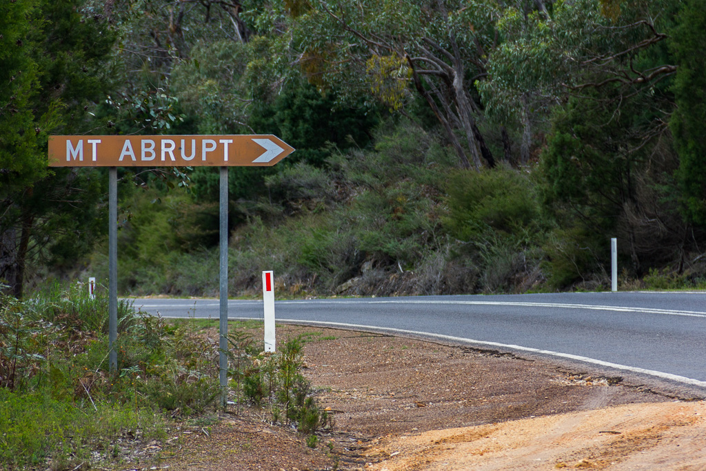
So, I was off and racing strolling. This particular walk was smashed by flooding rain in January 2011 which caused extensive landslips and was closed as a result. Parts of the path were rebuilt, so I was interested to see how the landscape now looked. I noted a new sign at the start hadn’t lasted long before been attacked. Mm… I wonder what words were used that drove some pumpkin-head to assault it in a scratching rage? Can you possibly guess?
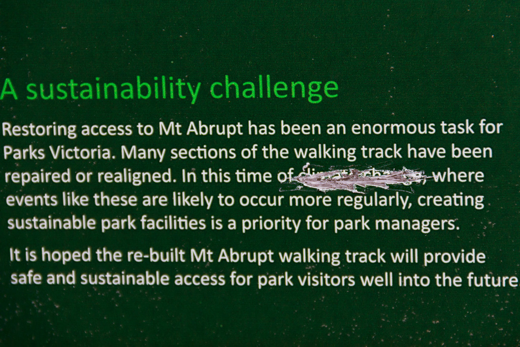
Egads! Those infernal scientists and their peer-reviewed literature! You know what? I’m pretty confident about this, so I’ll bet my left nut the sign was defaced by a middle aged white bloke. You know, the sort of bloke who can’t satisfy his wife, so he has to give the rest of us a hard time?
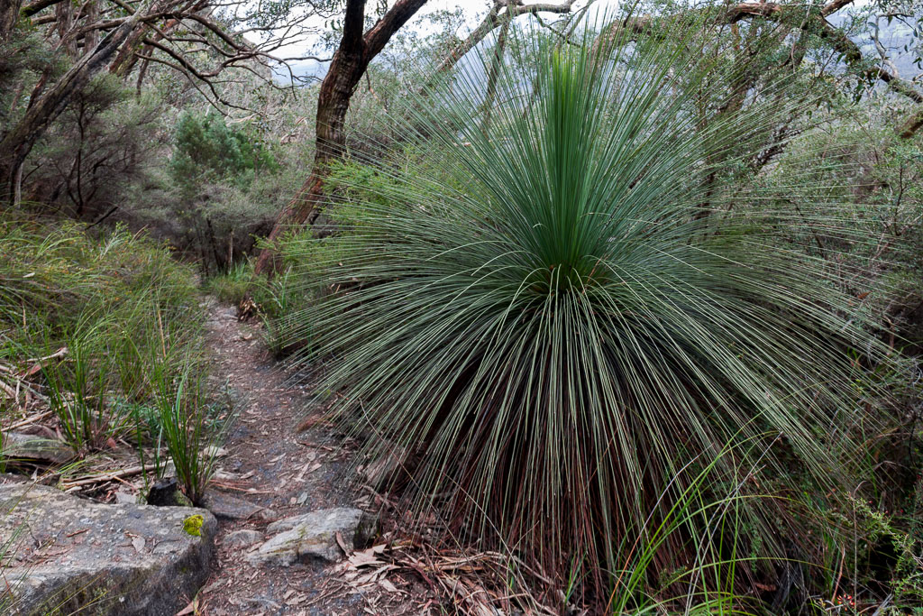
Anyway, the track was rising, but nice and comfortable with the ubiquitous grass trees along the way.
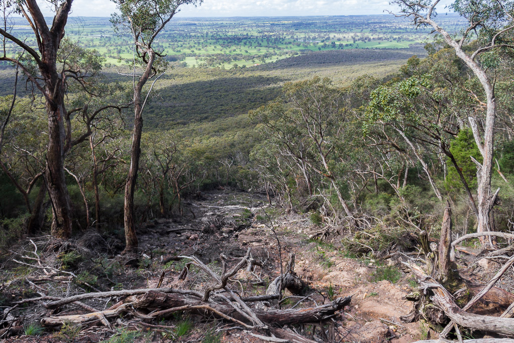
It didn’t take long before reaching the sections where the path had been rebuilt. Actually, it was hard to capture in photos, but an enormous part of the hillside was gone in a massive landslip leaving flattened trees in its wake. The mind boggles as to what it sounded like at the time when it let go…
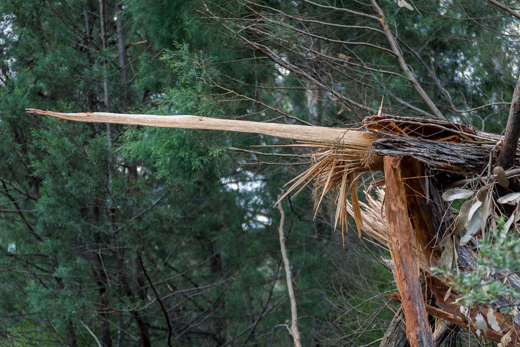
…and it left some trees snapped liked twigs.
I continued wandering and if you’re ever contemplating doing this walk then I suggest you take particular interest in the next three pictures. See this nice rock wall with a well-worn track beneath the base…?
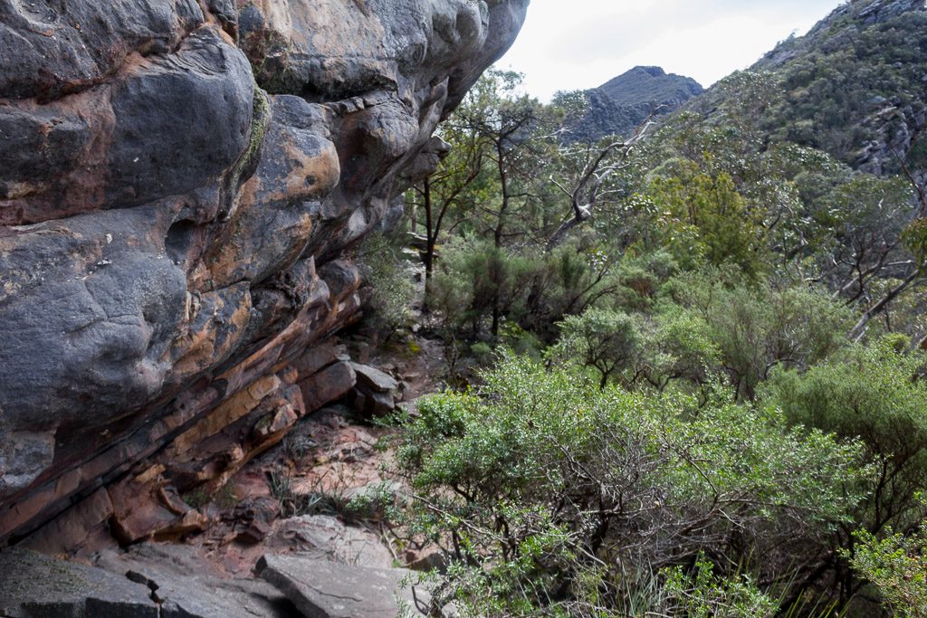
How about this branch with a nice view beyond?
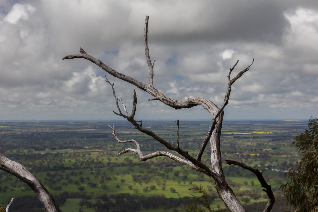
How about that rock wall again…?
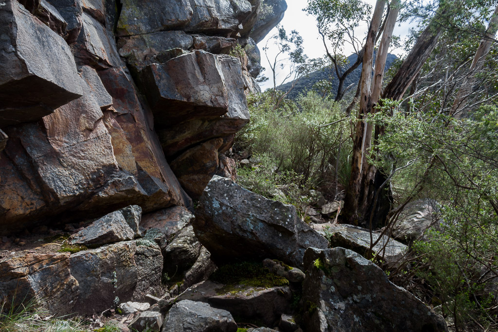
What am I on about? Essentially, there’s only one thing that’s happened if you see any of these sights. You’re lost. Huh?
Well, there I was, happily strolling along humming ‘Killed by Death’ by Motörhead (those bloody random umlauts!) when the path started to ‘thicken’ up a bit. This continued for a little bit until I knew it was time to stop, as it appeared the track was more animal than human. Mm… I was feeling quite impressed I’d broken new ground in the fiasco stakes, having got myself lost on a well-made path to the summit. I guess I wasn’t really ‘lost’, as I knew I was in Victoria. Anyway, I cranked out both the map and GPS to work out what had actually happened.
I was certain the actual track was nearby, but as I was hunched over the paperwork in head scratching bemusement, I heard shouting below me from the bush somewhere. At this stage I couldn’t see anyone other than a lonesome voice, so the best I could muster as a reply was “Klaatu barada nikto!!” There was a bit of tree shaking and branch snapping, before a fellow wanderer appeared heading towards me who was also lost on this comfortable stroll in the Grampians.
The best thing about being lost is meeting someone else, with the theory the other person knows where to go. The only trouble in this instance was we both didn’t have a clue. There was definitely an old track there, so I wonder if we were on a long disused track to Signal Peak instead? Anyway, I roughly knew the direction of travel, as that concept was simple. Up. I ran with an idea that if I continued to walk uphill until I reached a point where the ‘up’ stopped, I’d have made the summit. Right?
So, I found some sort of scratching which headed uphill and decided to potter around and hopefully find the correct track. My fellow wanderer decided to backtrack and I was left on my own again aimlessly looking at trees and rocks. I was getting nowhere when the voice returned saying, “I found the track. We missed the turn-off!” Oh dear.
We then strolled back, passing the cliff in the photos above until we came across quite an obvious track heading uphill. Well, sort of obvious, as this is one of the arrows pointing the way.
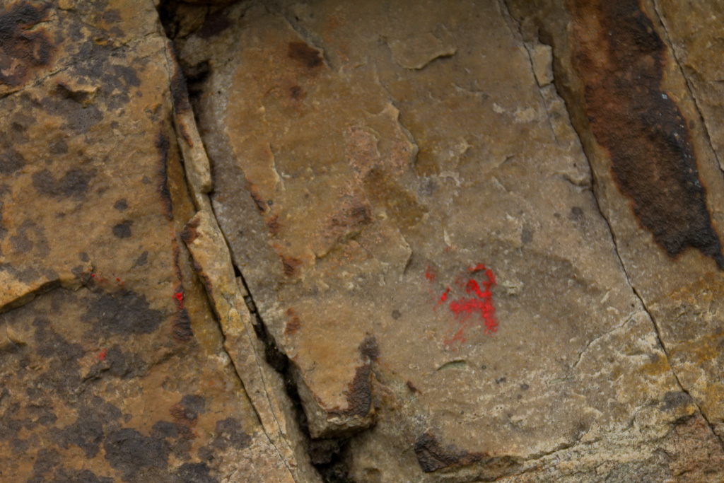
Yeah, okay, there was another one, which I guess was doing a better effort at its job of being an arrow.
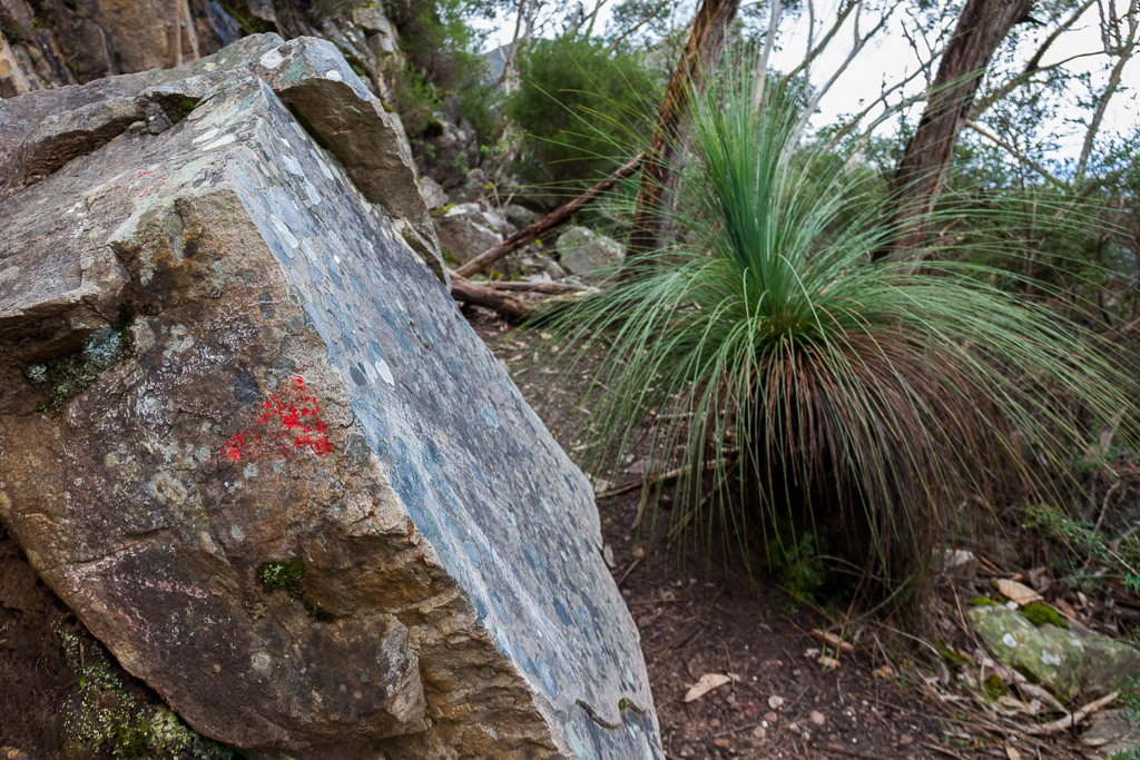
I’m not sure how I missed that on the rock, but there was a well-worn path past it, which shows quite a number of people have continued on like I did. I clearly had ‘path fever’ and didn’t really take in what was going on. Don’t forget though, someone else did the same thing at the same time! That made me feel better, but I must admit being distracted by the fact it was getting close to lunchtime, with the resulting craving for something artificial. Maybe something like this?

Custard tart – Available from The Bake Place, 807 Ballarat Road, Deer Park
Anyway, things were now back on track and we set off for the summit. The trouble was my new walking companion was a lot fitter than me and I had to push myself into ‘stroke-mode’ to keep up. The track continued under the cover of vegetation…
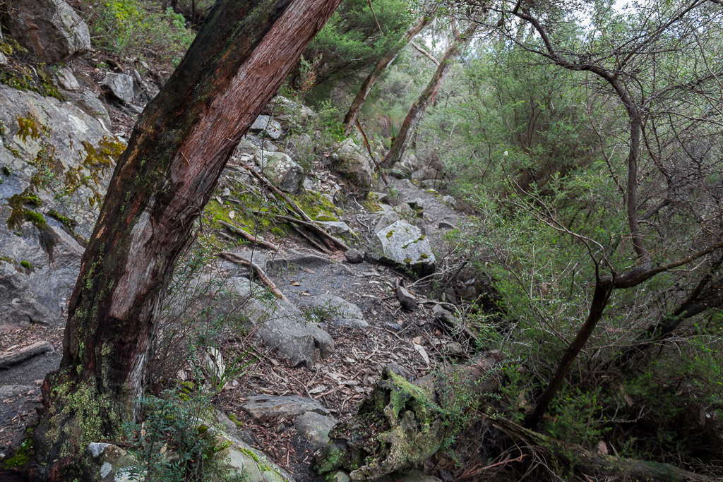
…until leaving the treeline and the views became more expansive.
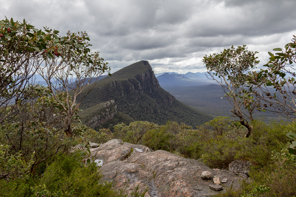
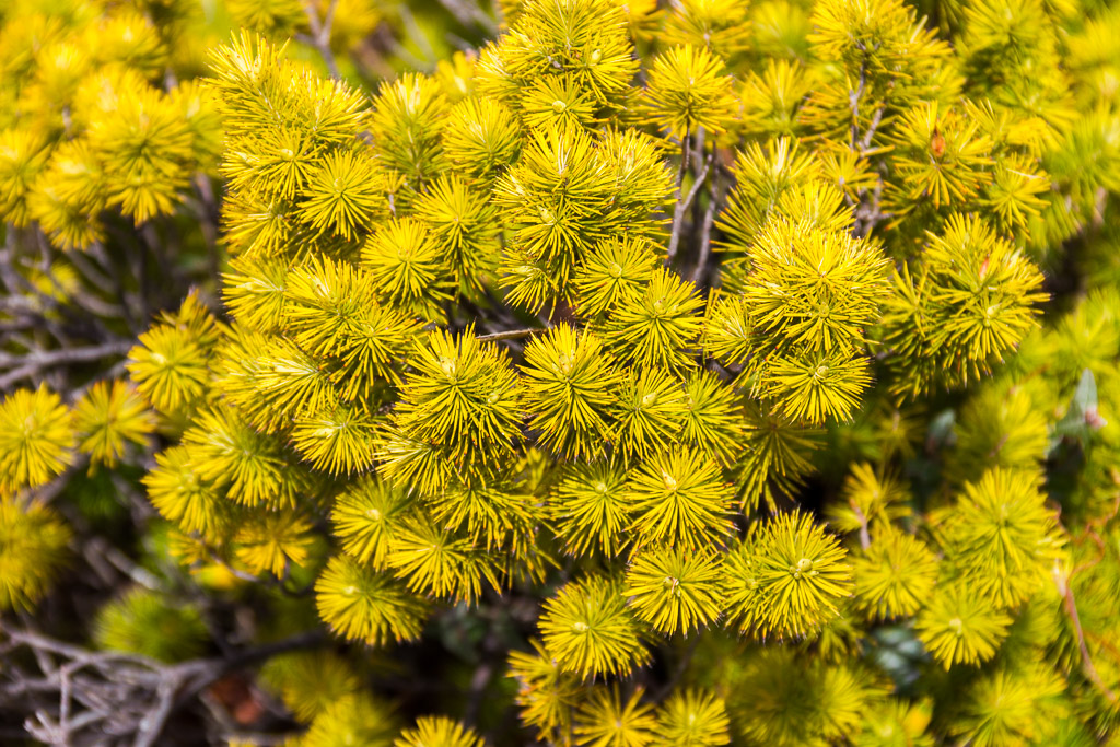
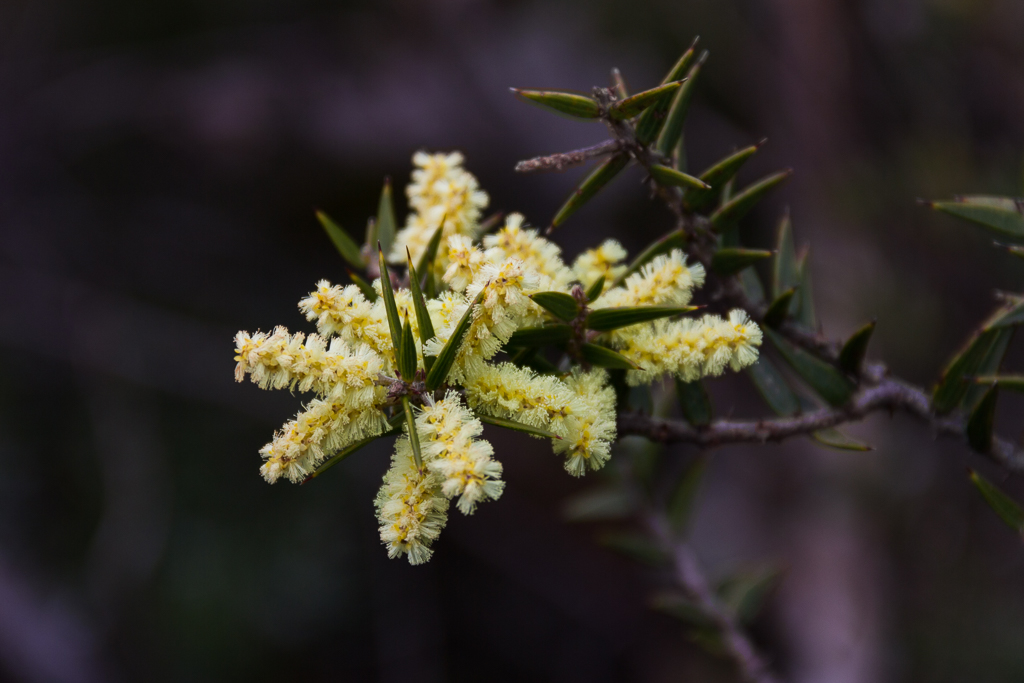
Oh yeah, it’s Spring as well, so flowers were starting to bloom.
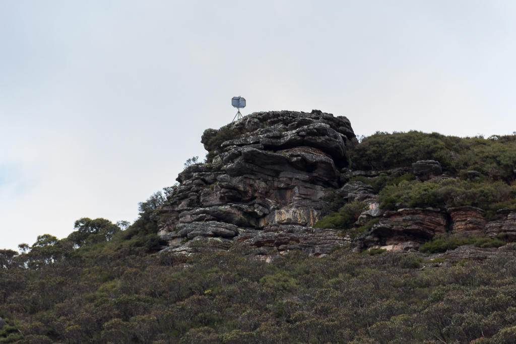
The trig point on Mount Abrupt summit was also in sight.
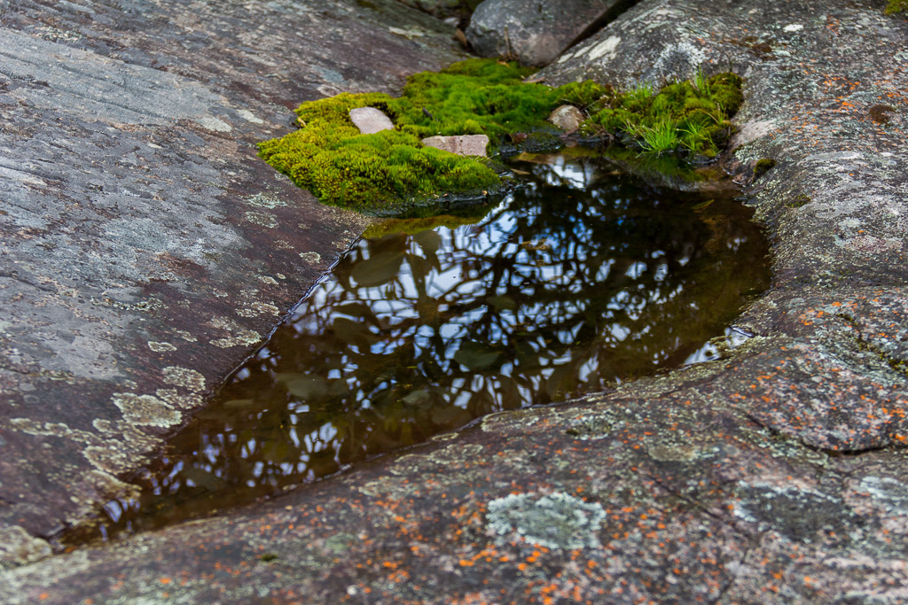
There was open walking across huge granite slabs of which water had pooled in some…
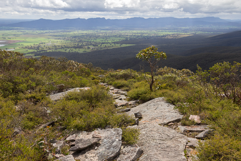
…not to mention the views looking back on the climb as well…
…until finally reaching the summit. Unfortunately, the sky was a little washed out, so the metal structure looks a little plain. That’s not a problem though is it? Oh yeah, one more thing, I guess I should have moved my backpack before taking the photo? Blast!
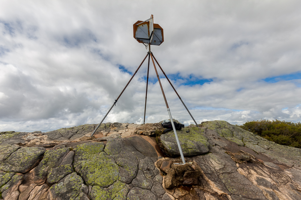
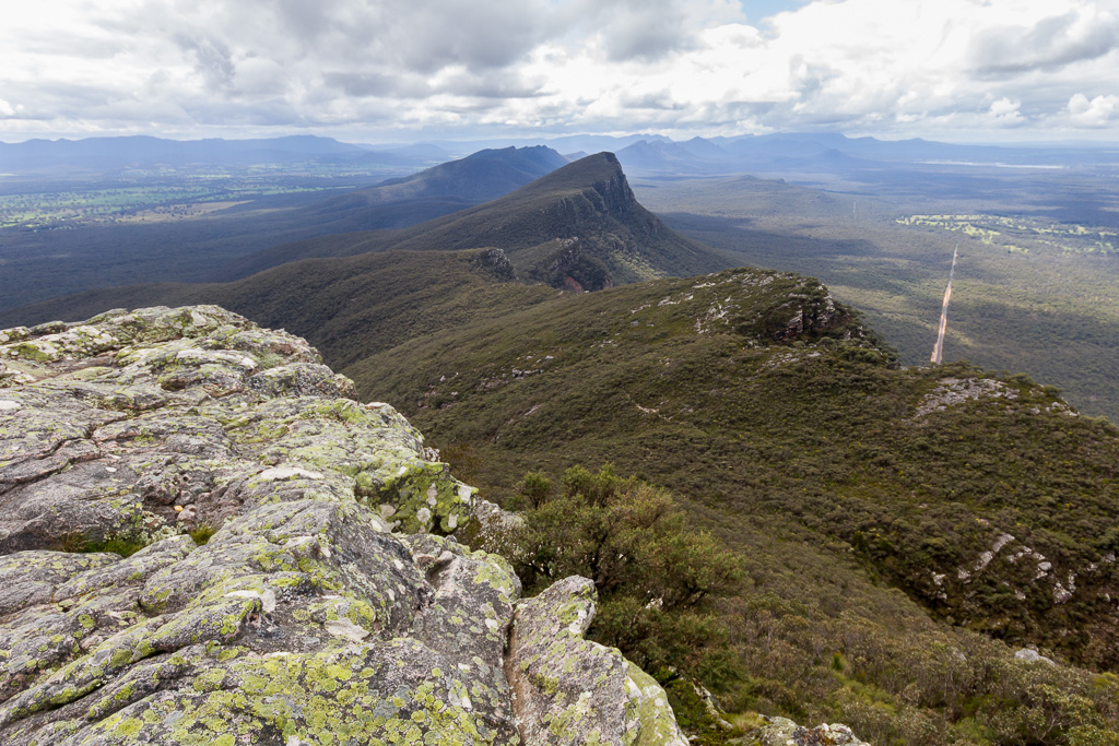
Signal Peak dominated the view, so it makes sense half of the photos I took are of it.
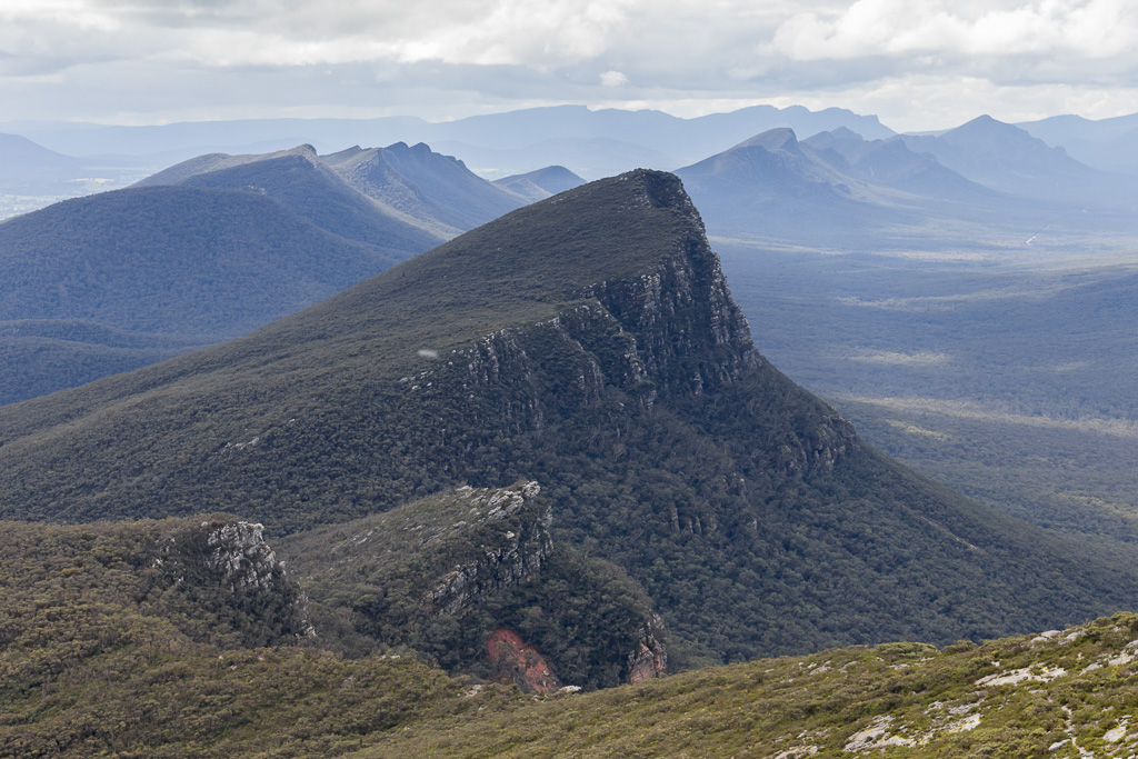
Phew. We’d made it! I tried to ignore the fact that of the five other people I saw that day, not one had taken the wrong turn. Oh well, that’s the way it goes. Remember the business about the quick walk to the top? Being done and on the way back before 12 o’clock?
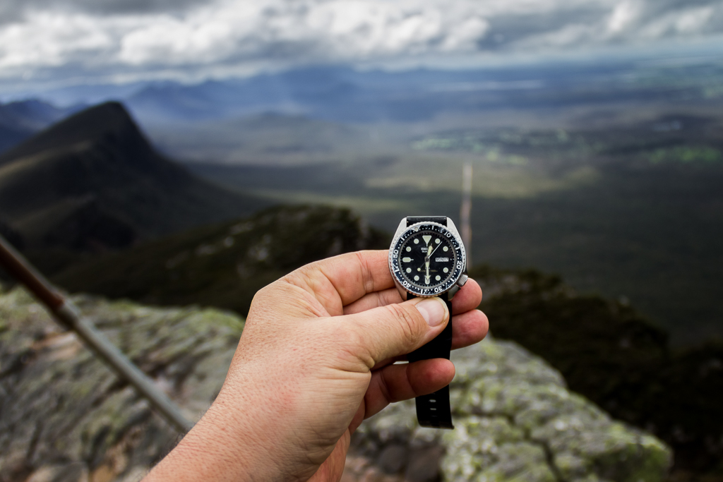
Yep, I went over the time a little. You may be wondering why I’m holding my watch instead of taking a picture of it on my wrist? Well, I’d switched lens and it refused to focus on my wrist as I couldn’t stretch it out far enough away from the camera. What I needed was arms like Gumby, but probably not his complexion though.
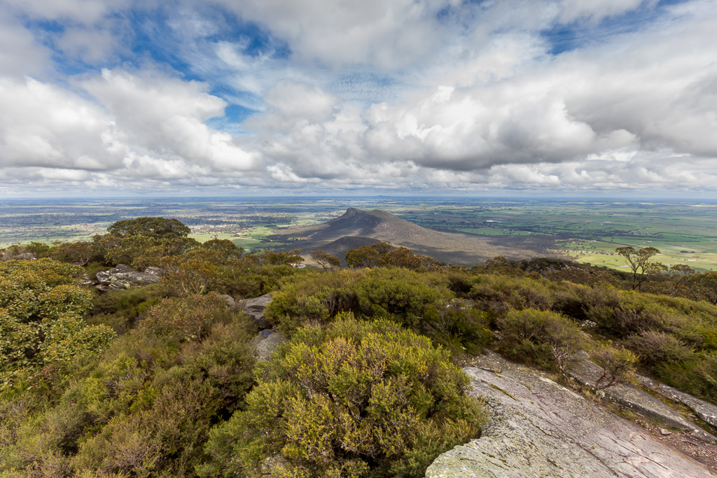
Mt Sturgeon from Mount Abrupt
It was time to relax for a while as the views are fantastic from the top. There was a bit of water around from steady rain the day before which appears I’m hovering over.
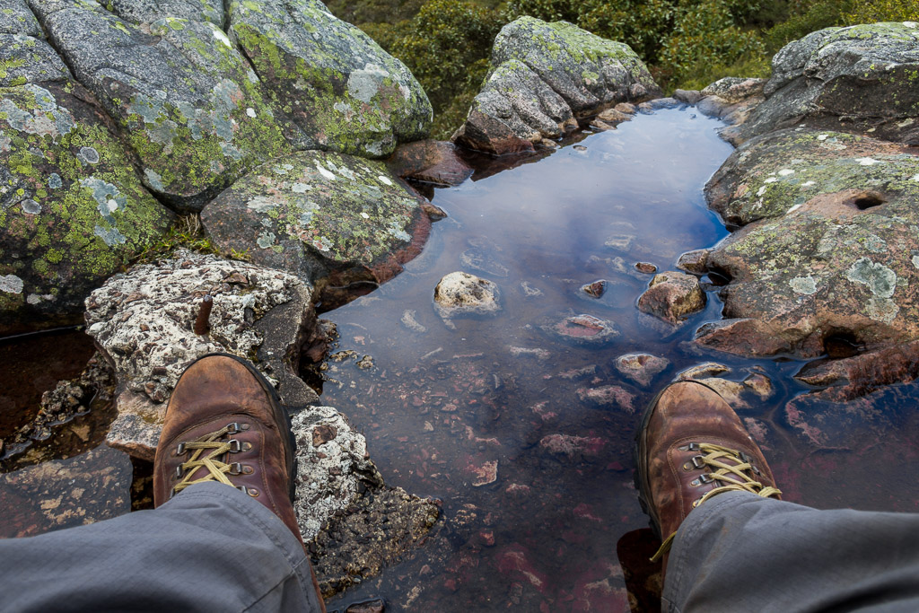
I spent quite some time on the summit and my lost companion had long gone. My starting point at the Grampians Tourist Road seemed a long way down.
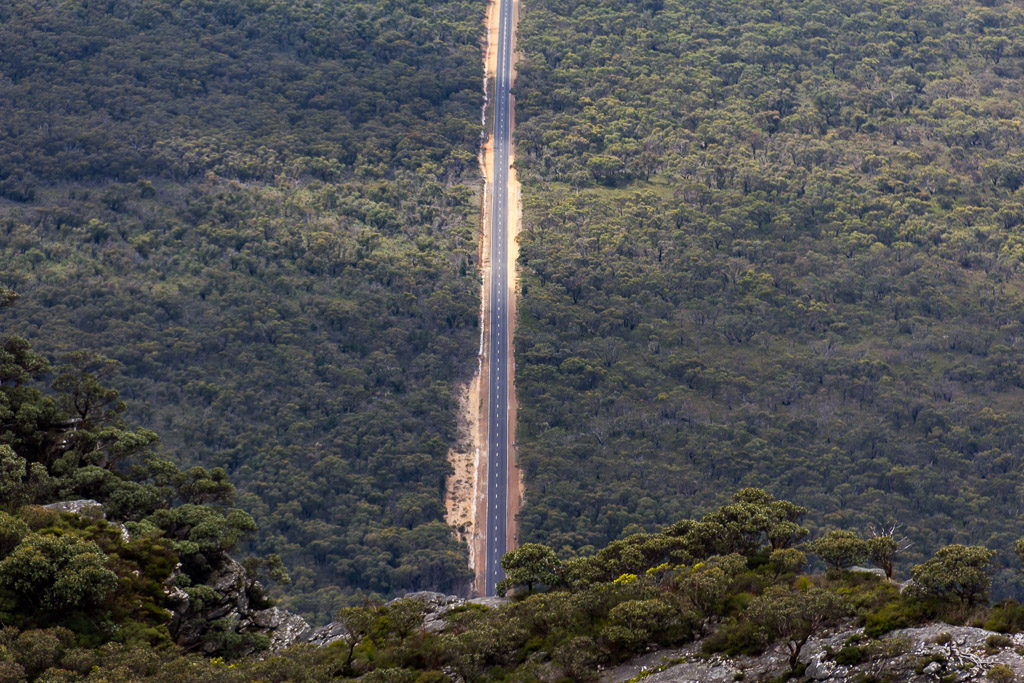
Finally I decided to head back and there were still some more sights to see that I’d missed in my ‘trying to keep up’ climbing rush earlier. I saw one particular rock near a cliff which I thought would be worth investigating for the possibility of a clear view. It was only when I stood on it and nearly crapped myself that I realised it was actually an overhang with nothing below it for a few hundred metres.

It’s fresh air under this rock
Even on the upper slopes the grass trees were in full swing.
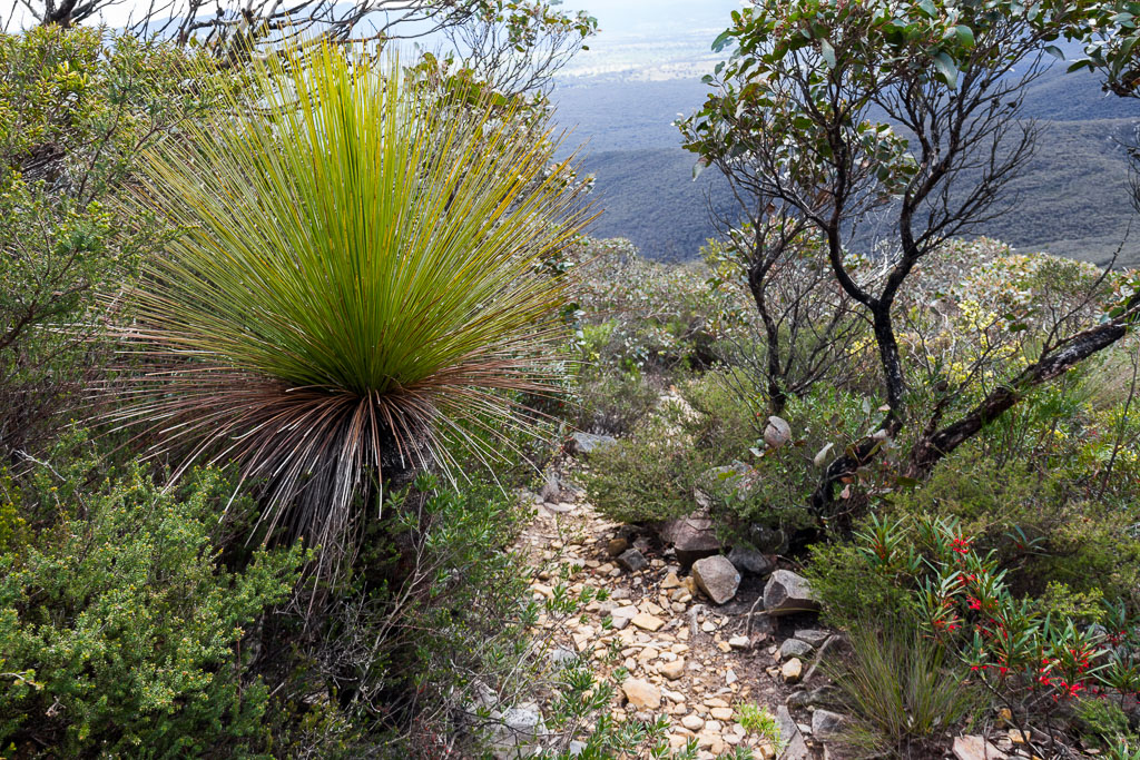
Oh yeah, the track on the descent faces Signal Peak, so I took even more pictures of it on the way down…
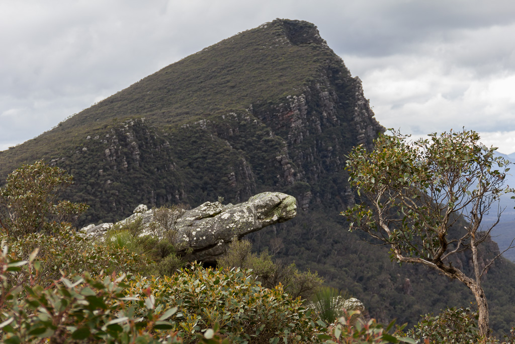
Are you sick of it yet?
…before entering the forested lower slopes again.
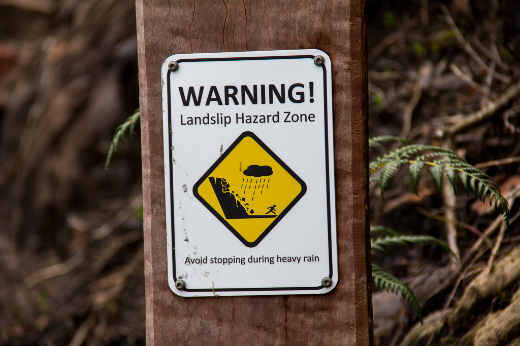
A bit more wandering and I was passing the gouged hillside from the landslip again, including the warning sign of a bloke who’s showing a fair bit of leg-speed.
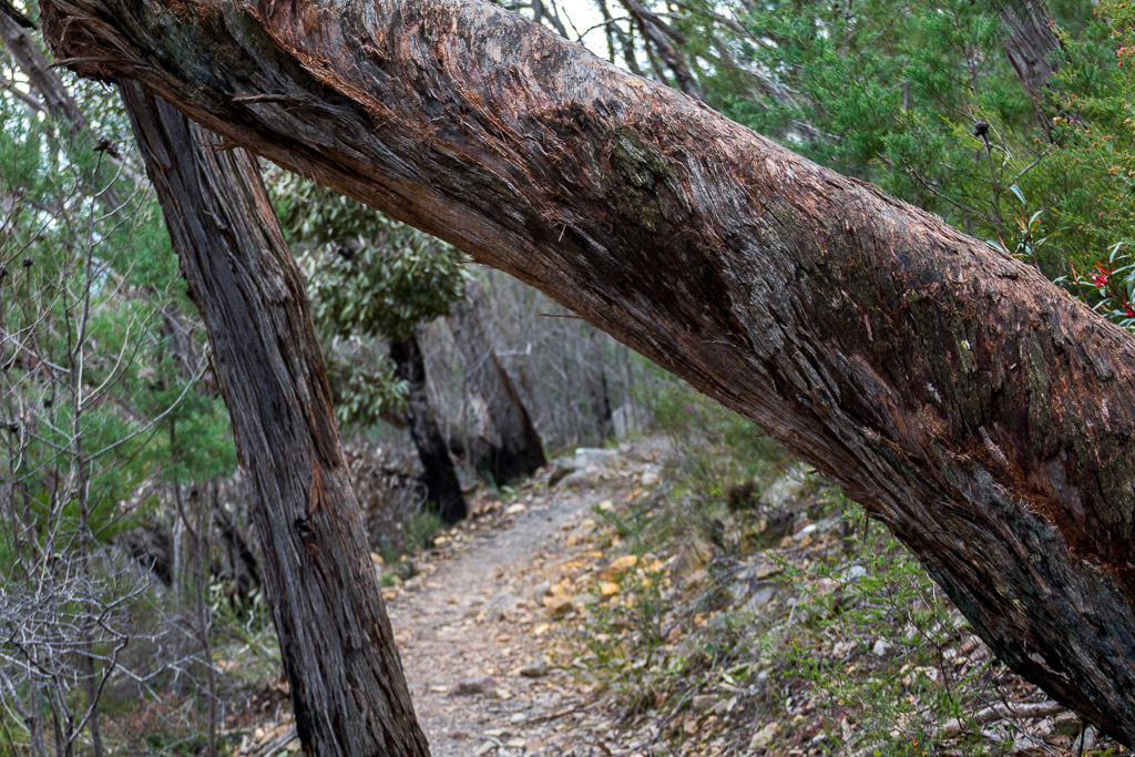
I weaved past the occasional tree trunk, leaning across the path…
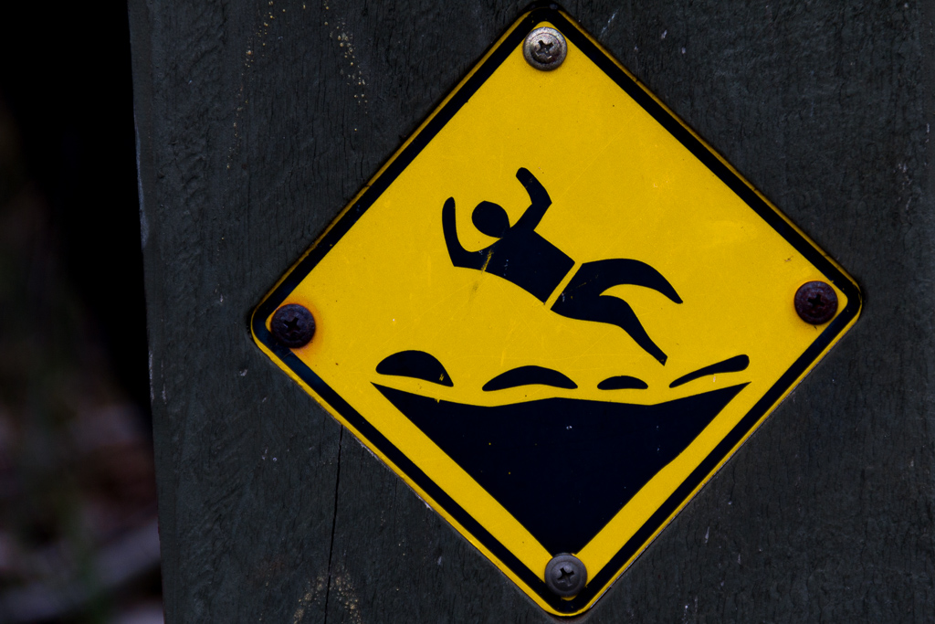
…and then before I knew it, I back to the start where all of the signs for the day started. I looked at this one and figured out why the bloke has fallen over. Really, it’s no wonder when you think about it, as he’s got no feet.
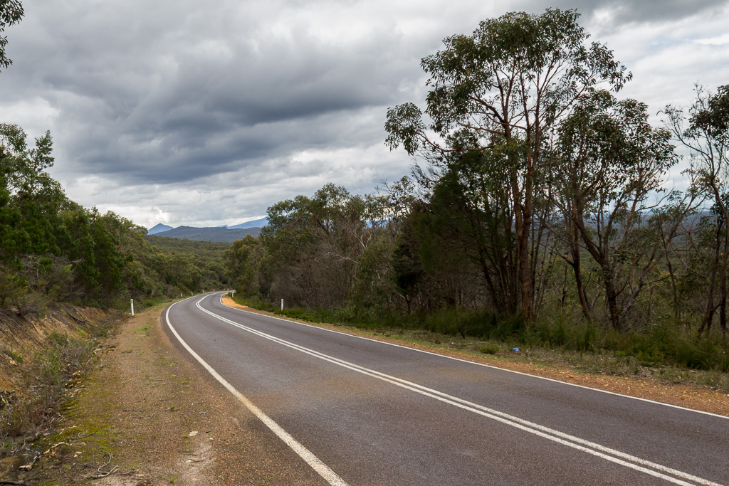
Finally I was back to the Grampians Tourist Road which had seemed so far away less than an hour ago.
Mm… What did the GPS tell me? Total time of 4 hours 17 minutes? Well, that was a little longer than I expected at the start. Really, this blog writes itself most of the time and if it was all smooth sailing I’d have nothing to talk about. All I can say is if you’re heading up that way, just remember there’s a hard left turn on the climb!

Some wonderful views here of Signal peak and the photo of the Grampians tourist road is impressive. Sometimes the most well used trails are the ones that are the easiest to lose. Good to see the wattle. Yet another enjoyable post.
Nice views on top. You captured it wonderfully! And what's a hike without a little adventure? 🙂
Looks like one hell of a hogback! Love the pictures.
Thanks Roger. Yeah, that road really stood out slicing through the bush! As you'd know, the Grampians are pretty amazing. Some pretty rugged fare though!
Yes, I wandered that track without thinking too much, but even then I'm still not sure how I missed the turn-off. It has given me an idea of a return trip one day though. The 'lost' track was too well-formed, so I'm thinking it might be part of an old route up to Signal Peak. It might be worth investigating, but it'll be a bit of a hard slog!
Thanks Linda! That whole region is amazing and I hope to get up there a little more during the upcoming warm weather. Oh yeah, geographical embarrassment is handy at times just for the blog 🙂
Thanks! I totally agree with you once I'd Googled 'hogback'! I now know that it's a homoclinal ridge! See what blogging does? I learn stuff! Thanks for dropping by!
Some great laughs Gregorovitch. That man with no feet – whatever do those signmakers think when they produce those graphics. Very witty commentary with that sign. I was thinking about the man you walked with who you noted was very fit. Probably a bushwalking nerd who walks all the time and does little else. Ciao for now, cheers KL
Or do you mean an ABRUPT left turn? Another classic Australian place name! We tell it like it is in Orstralia – no namby-pamby poetry, no girly romance!
I'm sure most of us have had that experience of walking right past a turn-off and into oblivion. I was just reminiscing with a friend about the time on the PCT I strolled past the turn-off in the Californian desert and ended up living out a redneck thriller-movie nightmare when I found myself at a private driveway with a skull and various bones dangling from a PRIVATE PROPERTY sign. Mind you, I was slightly drunk on warm desert-heated beer at the time – but I was much relieved later to learn that others had made the same mistake…
Those mountains in your excellent pictures are fabulous. Slight homesickness again…
Hey there KL! I do find those signs to be a source of much mirth, as most of the time I'm not sure what they're telling me. I guess that one I posted means it's slippery up there?!
Ah yes, those bushwalking nerds are the ones to watch out for! They're slightly unhinged and just contemplating how to escape the world in which society expects them to behave. Who are these people? 🙂
Oh yeah, you're right about the names down here. There's a mountain I noticed on the Mount Buller map and it's the 1392m 'Son of a Bitch'. No, not 'Mount Son of a Bitch', but just plain old 'Son of a Bitch'! Mind you it's at the end of 'Son of a Bitch spur', so I think I need to get there at some point just for the sake of the blog!
PCT is full of route finding isn't it? I guess that judgement is also a little affected when slightly tanked?! That would do it! I wish I had the booze excuse in my instance!
Don't worry, you can come back down here when you get old. As for now, it pays to live the Korean high life!
Having no feet AND trying to balance on a funnel is a bummer. And due to a higher number of climate change-type weather events, I'm guessing you can probably expect more of the paint-challenged 'marker' arrows …
I didn't get tired of the Signal Peak photos. But the grass trees, on the other hand …
its a shame you didnt see this pic before you headed off, might of saved you some heartache.
http://www.panoramio.com/photo/70006420
i have heard of a few people heading the wrong way there.
🙂
I really think they could have included feet! It'd be no problem to give him something to stay upright with?
If I'm ever up that way again I'd be tempted to take some paint with me and spruce up that arrow a little bit! I'd say it hasn't been touched for quite a while. There's no big deal having track markers is it?
Ah yes, but the grass trees are one of my favourite plants which explains why I overdose on them. You got it easy, as I took a lot more photos of them which I didn't put in the blog!
Ah yes! Good work! That would have been handy to see beforehand! I know a couple of things caught me off-guard. One is that it's a hard left which seems unexpected considering the track leading up to it and it's a sudden rise as well. Anyway, it seems most find it okay, so maybe we were having a bad day!
Actually, that link you've given me explains something I thought might be the case. There is a definite track past that turn-off that I followed for a few hundred metres and I wondered later if it was an old track up to Signal Peak. Thanks for the confirmation! If I'm up that way again I'd be tempted to bush bash to the top of Signal Peak as it looks like an entertaining place to get to the summit of! One day…
Thanks for dropping by and taking the time to comment!
i was there last week and signal peak was on my list of places to do. changed my mind though. it is marked as a route on older maps. i had done enough bush bashing and figure it will be part of the peaks trail when it opens in a year or two anyway. all those peaks sth of jimmy creek campground will be on the section to mt sturgeon from what i have been led to believe. why make it harder pushing thru prickles when i could just follow a nice new track 🙂
i read your major mitchell walk report, gave me a good laugh. one day, i might tackle it as a 3 day thing, since im unfit and not keen on camping where it is likely to snow any given day. from what you said though, if glen did it in 7 hours, perhaps he needs a not so random drug test cause that is a super human effort!
good to see im not the only one who doesnt always find the tracks though. saying i was lost occasionally might be inacurate. i prefer to call it "exiting at an unexpected spot".
Oh yeah, it would be a painful bush bash. Gaiters mandatory! I've been waiting for some sign of that new peaks trail, but it still seems a few years off. Such amazing country up there, but no dedicated multi-day walk to take advantage of it all is disappointing, so I hope the new trail comes together sooner rather than later!
Yeah, regarding the Major Mitchell Plateau, Glenn wrote that he did it in 6 hours which is even worse! He only recommends seven as a guide! It's a fantastic walk and it pays to take time going across the plateau. I'd certainly only do it as an overnighter if I get back there, as we spent very little time stopping which was a pity.
I'm always losing tracks, but I've never really been 'lost'. I do like the term 'geographical embarrassment' instead of 'lost'! Any time spent 'lost' can just later be called a 'side-trip'!
Thank you so much for documenting this. Believe it or not, my friends and I walked off into the "animal track" just as you did. About 100 meters into it, we questioned whether we were on the right track.
Luckily there was 3G reception and I Googled "Mt Abrupt hike" which lead me to this blog post and saved us a huge headache.
Glad it worked out for you. I do tell people everything you need to know about a particular hike is within each post, but they don't believe me 🙂
Yes, I don't think you or I are the first to wander down that animal track!
Thanks for dropping by and taking the time to comment.
Hahaha, I did this walk on Monday just gone (7th of April, 2014) and I also missed that sharp upward left hooker.
Since the track looks as if it continues on straight, I was not even looking out for a marker.
Like many, I continued on walking around with the rock face on my left thinking: Hmmmm, this track is awfully overgrown for a track that has recently been rebuilt…
I kept walking however, and it got to a point away from the rock face on left, actually slightly down hill – where the only choice was upward into a rather undefined track, or further across the face of the incline into an area that looked less and less like a proper walking track.
I continued on for about 50 metres or so, but soon realised I may end up lost, especially since as you point out, the summit is not visible until much further along the track. I decided to head back and investigate any missed tracks, which after walking back I found pretty quickly…
On a side note.. This walk is for active, fit people. Being a largely unfit person who has not been exercising too regularly, I found this walk with it's steps and rate of incline pretty tough. I needed to take it slow and stop every once in a while.
While the suggested time frame to complete this walk was 2.5 to 3.0 hours, I started out at 1.45pm and got back to the main road car park at 5.30pm. So, just under 4 hours including getting lost and time spent taking selfies' at the summit!
Lessons learned:
1) Office life and lack of exercise has eroded strength and endurance.
2) Start earlier! Non daylight savings time meant I cut this a little too fine.
3) Consult the interwebs for great blog posts like this one BEFORE setting off!
Cheers
Thanks for dropping by and leaving a great comment. Oh yeah, judging by the well-worn route past the turn off I'm fairly sure quite a few people have gone wandering down there over the years! It certainly threw me and once you find the correct route, you wonder, "How did I miss that?!" It's obvious, but not, if you know what I mean. My mind was in neutral, which caused most of my problems 🙂
Yeah, I knew I was off-track as soon as the bush became thicker and the track became scratchy. As you say, nothing to panic about as it's easy to backtrack, but my experience was a little different (as per usual!). During my wandering I came across that woman who was well and truly off the beaten track. When someone is shouting 'hello', but you can't see them, you know they've gone wandering way too far!
Anyway, great little walk and it sounds like you've got my problem. I seem to always need more time than the advisory signs! It's a problem, as I do most of my walking in winter, yet the days are short, so invariably I'm running late by the end of the day and I've learnt to always carry my headlamp! I think my best headlamp day was using one all the way from the top of the Cathedrals. Really mucked up my timing on that occasion 🙂
Thanks also for your tips. I whole heartedly agree!
Thanks.