Here we go. The first entry of the year! Are you feeling excited? Wondering what amazing things are going to be happening in the fiasco world? Lying awake at night dreaming of me wearing suspenders a beard?
Well, don’t get too carried away, as the year’s first post is a walk from last month and it’s affected by ‘kontinual neverending overblown blog syndrome’ (KNOBS) Yes, there’s no letting up in the length dilemma, as I aim to break new ground by writing an entry with 40 photos. Did you read that properly? I’ll say it again. “EGADS! 40 IMAGES!!!”
The following walk at Phillip Island was one I’d attempted before, but failed miserably (shocked?). You can find it here in the with the title, Kitty Miller Bay, Phillip Island.
There’s also the problem that I may recycle the jokes, so I have to be careful about that as well. The only thing I can remember about that walk is I thought I’d found Harold Holt’s swimming goggles. I’m currently having them DNA tested against a pair of his Speedos which are on display in a Sorrento milkbar.
Anyway, the previous walk was a failure because I didn’t read my walk notes that said it can only be completed at low tide. Guess what I did? Well, I was strolling along and then suddenly realised I was out of luck with water pounding against a cliff. I’ve been meaning to get back and try again, but it’s taken me two years to do that. My last walking post was about the George Bass Coastal Walk and initially I was planning to do a trilogy of ocean walks. The trouble is I’ve only got two, so you can call this one part of a bilogy of coast walks.
Now, you’ll find this walk in the Glenn ‘Guru of Good Times’ Tempest’s book, ‘Daywalks Around Melbourne’ and this particular wander is named ‘Helens Head and Pyramid Rock’. The highlight for me is I’d get to Pyramid Rock via SS Speke shipwreck, which ran aground near Kitty Miller Bay in 1906. I’ve been going to the wreck for the past 20 years, but usually I’d just turn around and head back to my starting point at Kitty Miller Bay. I’d never thought of continuing on to another coastal feature called ‘Pyramid Rock’.
The thing is, this walk is a one way job unless you’ve got someone friendly to do a car shuffle with. I was feeling out of luck, so I went on my own meaning I’d have to return over the ground already covered. That’s okay, but I had to make sure I had low tide in my favour for the entire walk and I planned it perfectly on a hot Saturday afternoon. Low tide was at 1.50 pm and I parked the car at Kitty Miller Bay at 1.00 pm. Phew! What a paragraph!
I leapt out of my car at Kitty Miller Bay with both feet first and back arched like an oversized ninja with full beach hiking attire. Long sleeve shirt, shorts, sandals and the largest brimmed hat in the Southern Hemisphere. It felt stupidly hot and I hadn’t even started walking, but I was comforted by the blue skies and wispy clouds, as it means only one thing. Yes, I was armed and ready with the polarizer and I had every intention of abusing the crap out of it.
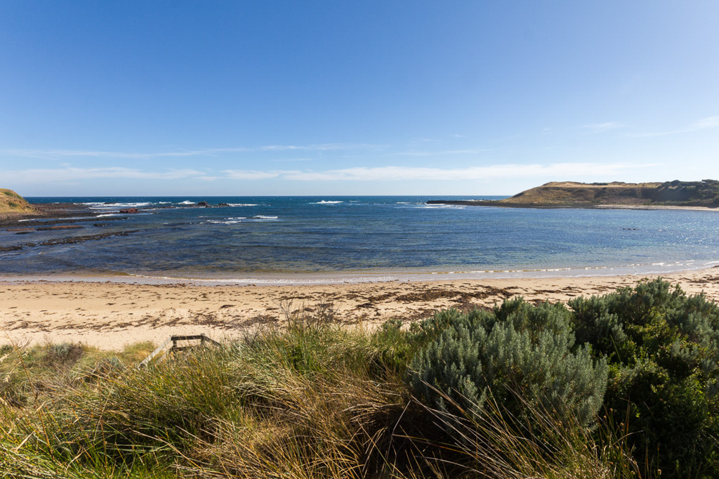
Kitty Miller Bay
I was off and racing. Well, going as quick as one can whilst hobbling over a million rocks which was a by-product of this low tide tilt. The start can certainly be defined as ‘lumpy’.
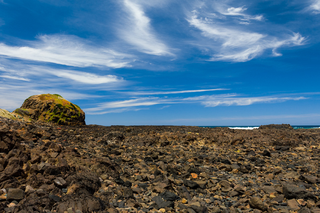
On the rocks of Kitty Miller Bay
The remains of the SS Speke is only a short distance away from the start. In fact it’s just around that large bulging rock in the picture above. Just climb to the left of the outcrop like this…
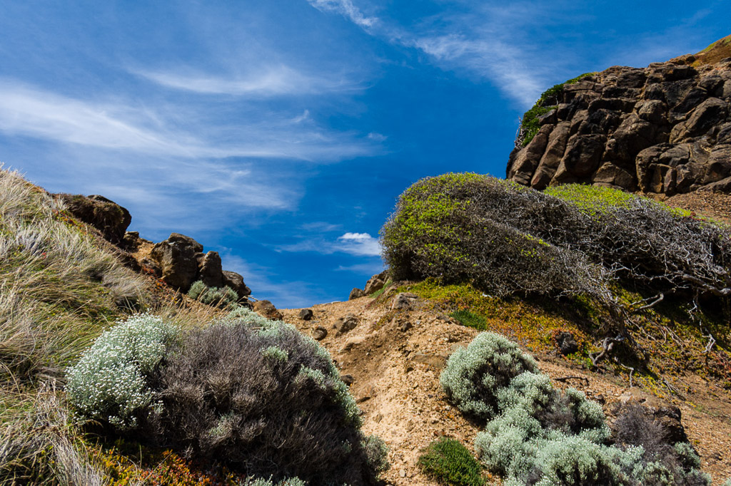
…and suddenly there’s a bay in front of you. Here, I took a picture so you can see what it looks like from the nearby cliffs.
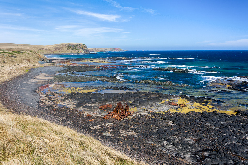
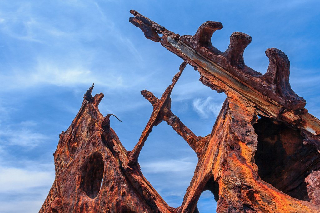
SS Speke at Watt Point
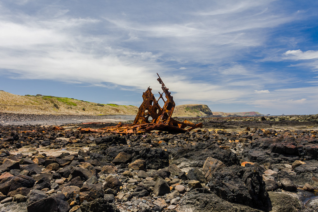
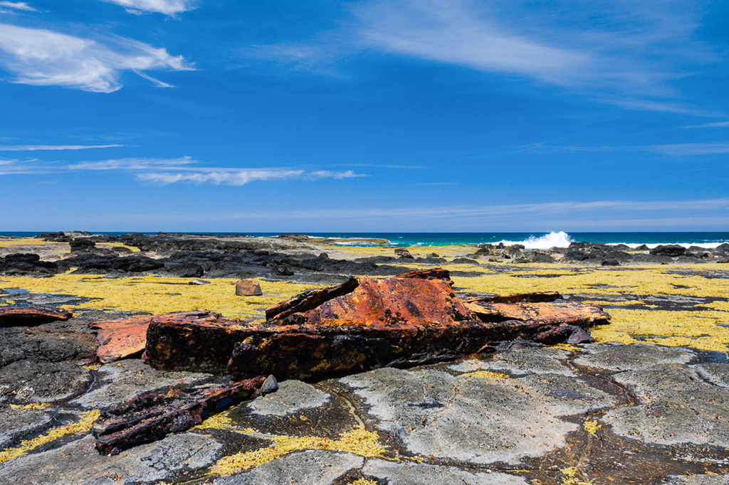
It’s an interesting spot and supposedly the area is haunted. I was thinking that was the case as I approached the wreck and smelt a pungent stench, which is a sure sign of supernatural action. I felt mildly scared until I realised it was actually the smell from my hiking shirt, as I was already working up a sweat. Anyway, I had the obligatory perusal of the remains.
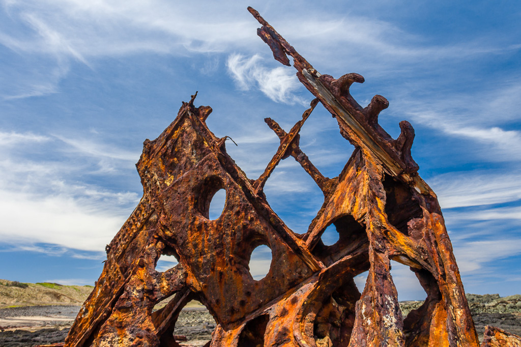
Actually, all of this wreckage doesn’t mean much does it? Are you scratching your head wondering what this jagged piece of rusting metal is? In order to give you an idea about what’s going on, I’ve put in the hard yards for your benefit. A quick visit to my favourite picture resource at the State Library of Victoria and I had the photo I needed. Here you go.
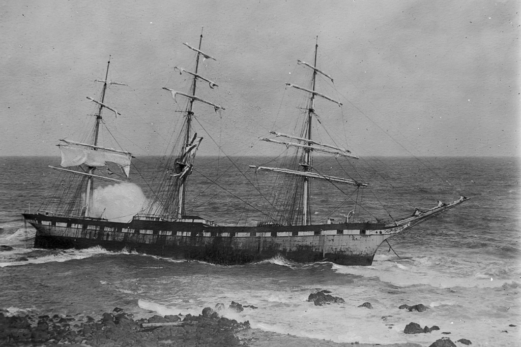
Speke aground, Allan Greene 1878-1954 – State Library Victoria
Apparently the twisted remains are the bow of the ship? I’ve no idea, but it sounds good. As I said earlier. being a coastal nut, I’ve been coming to this spot for years, but usually it’s high tide where the wreckage is well and truly in the water. Here’s some pictures from the fiasco archives, taken a number of years ago on a cutting edge 5 MP Canon compact.
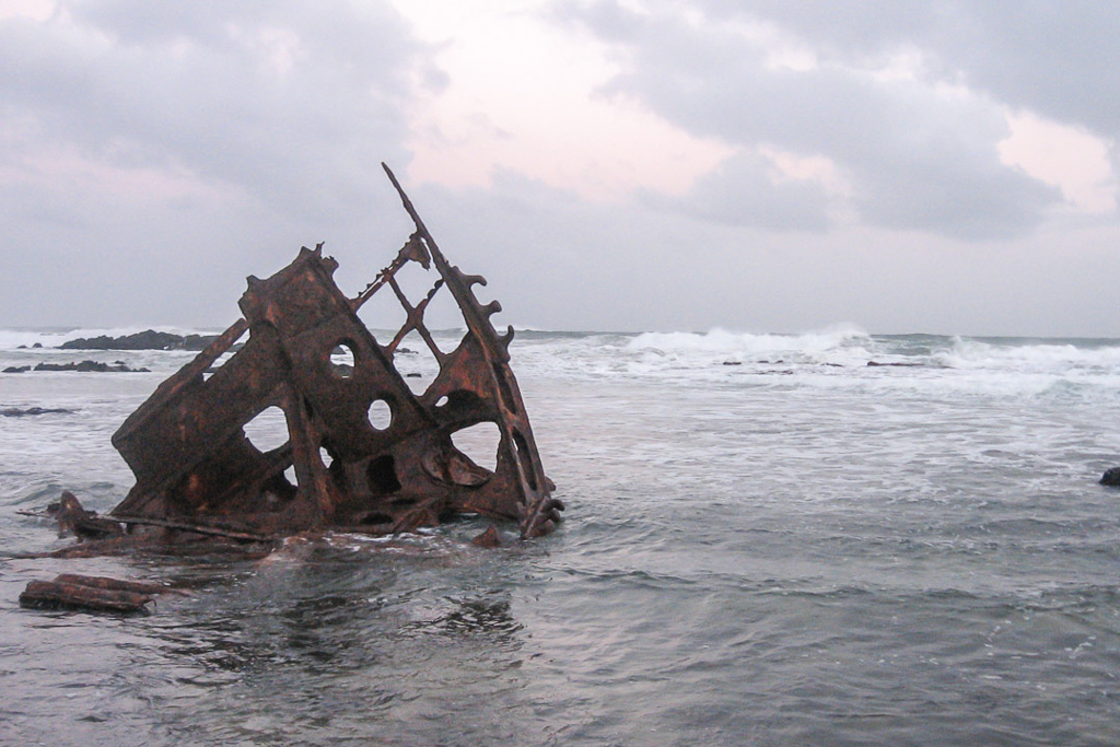
On that occasion I was with Ben and it was a freezing winters evening. Not content with looking at it from the dry shoreline, we decided to ‘rock hop’ out for a closer look. We made it, although the waves coming in looked a little dodgy…
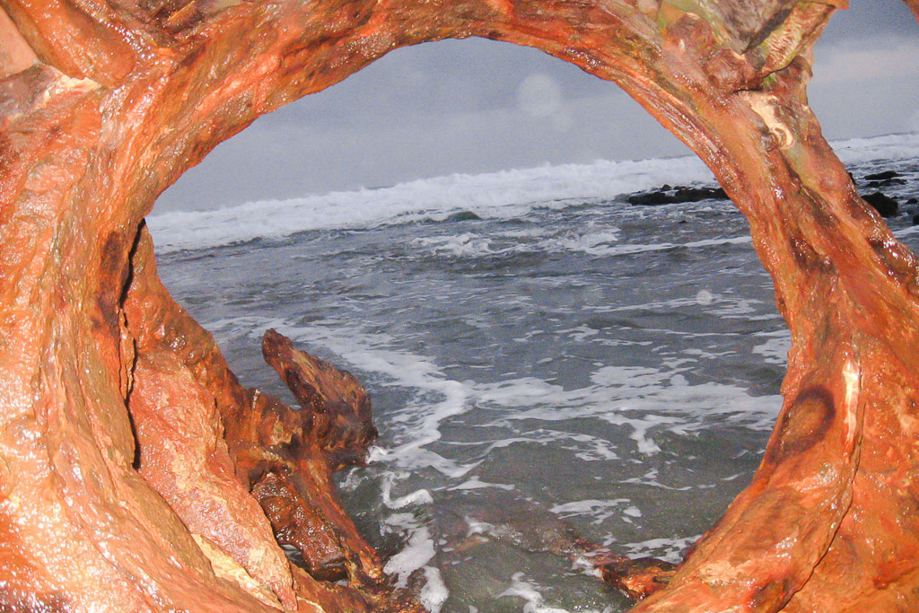
…so we scampered back with the patent pending ‘non rock hopping method’.
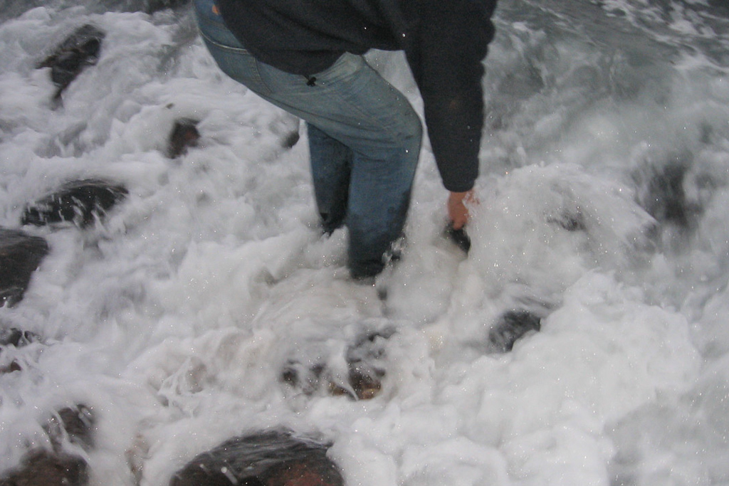
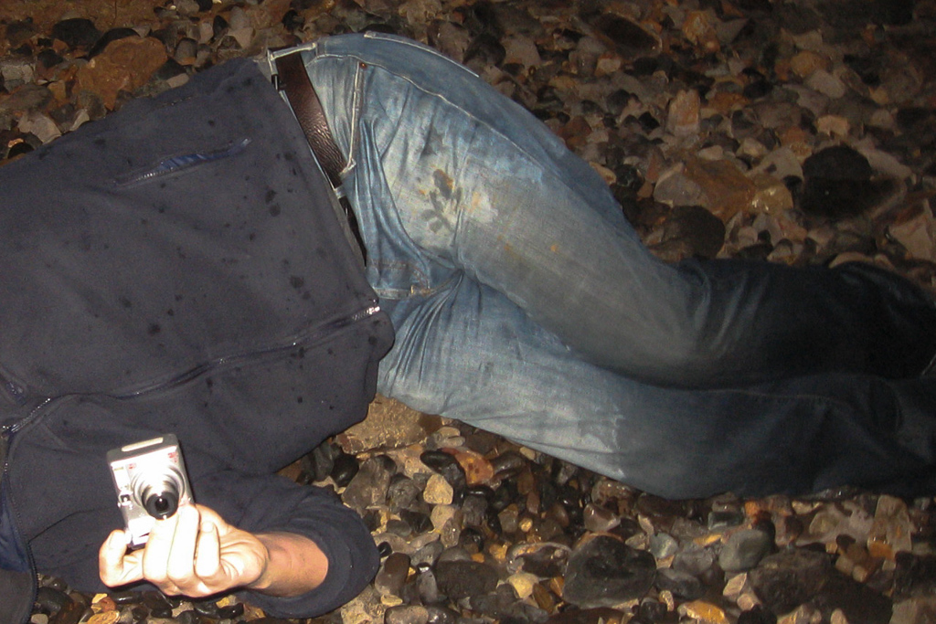
Then, after making it back, I performed a brutal tumble to the rocks as darkness was upon us. Lucky Ben was there to capture my agony. My head has been cropped out for blogging anonymity, but I can assure you my facial expression is similar to what one would look like if suddenly mounted by an amorous sasquatch.
That was then, but on my latest visit the conditions were a lot more sedate.
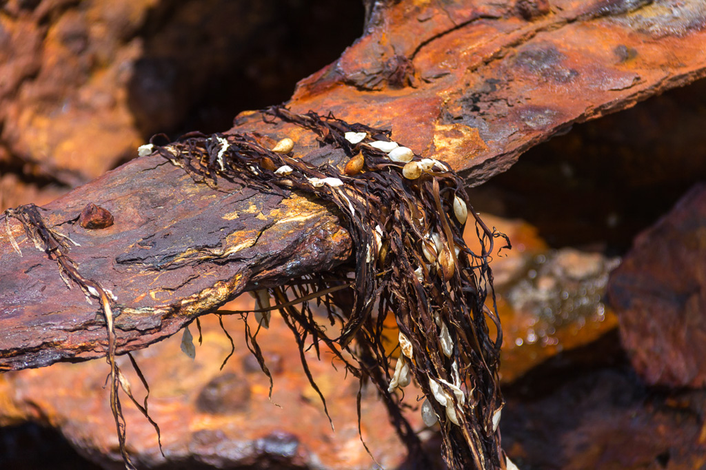
It was time to move though, as I didn’t want to be playing around with the tide later on. I was headed for Thorny Beach…
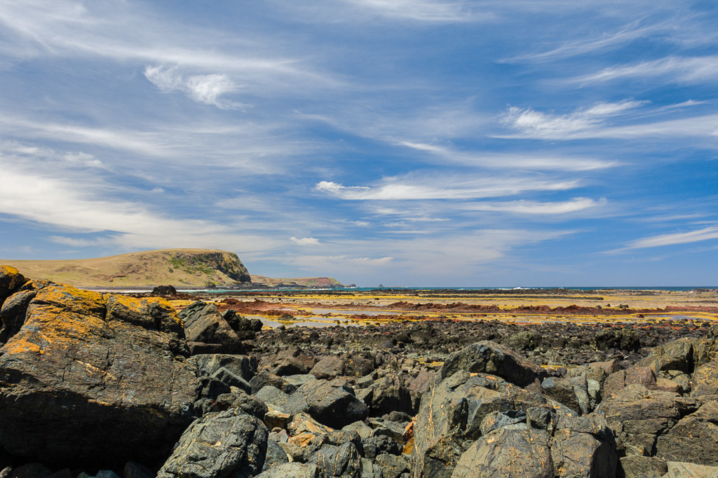
…which I’d never really seen at low tide. It’s a lovely beach that felt quite isolated and on this sunny day there was just a solitary fisherman.
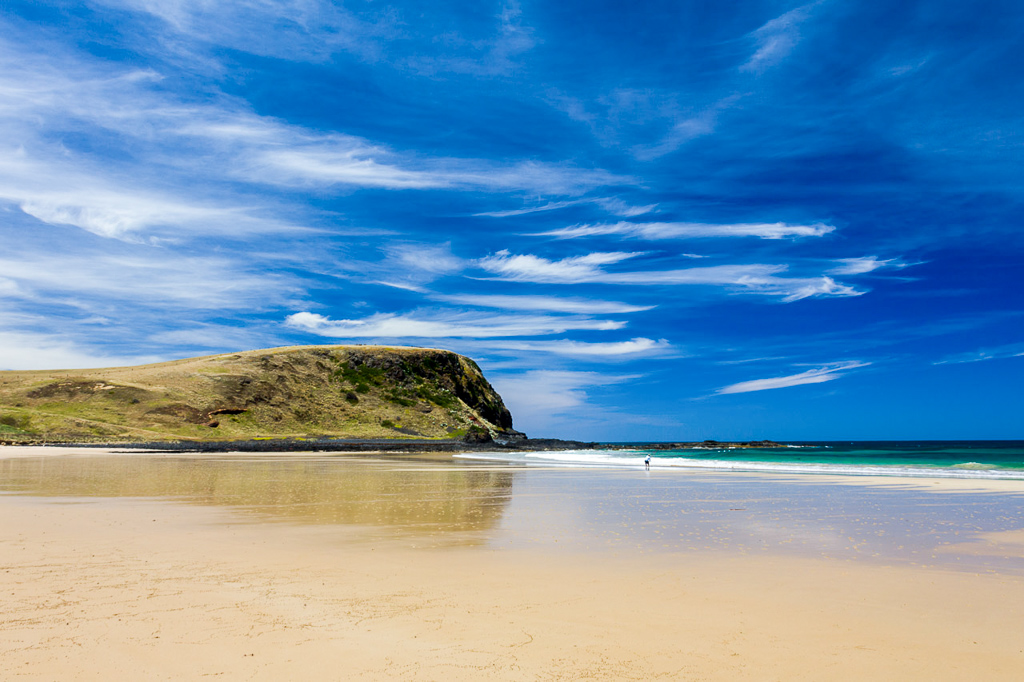
Thorny Beach
In the photo above, Helens Head (who was Helen?) sits in the background and temporarily blocks the beach walking. I headed inland to walk across the top by following a track which leads to an adjoining farm…
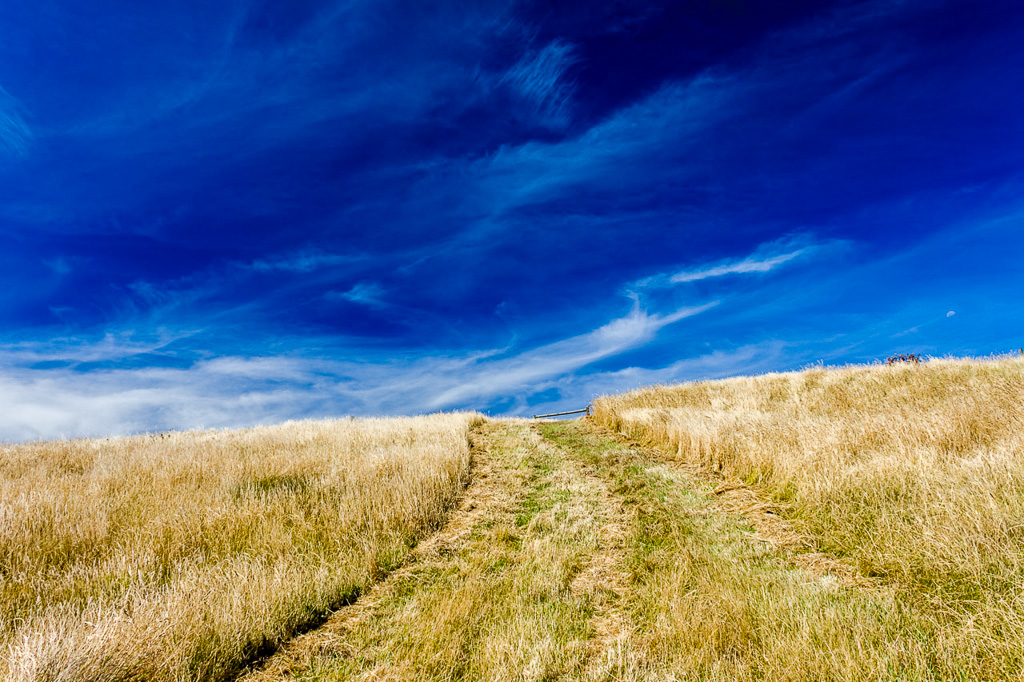
…and then continued up along a fence line, gaining height as I did so…
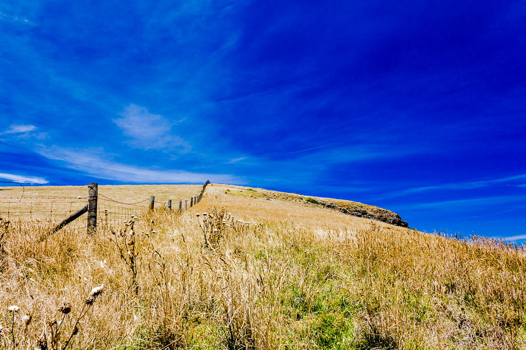
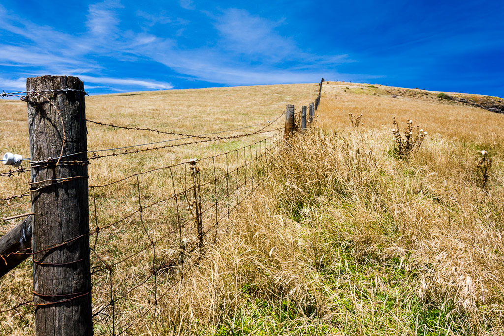
…until passing over the top of the cliffs.
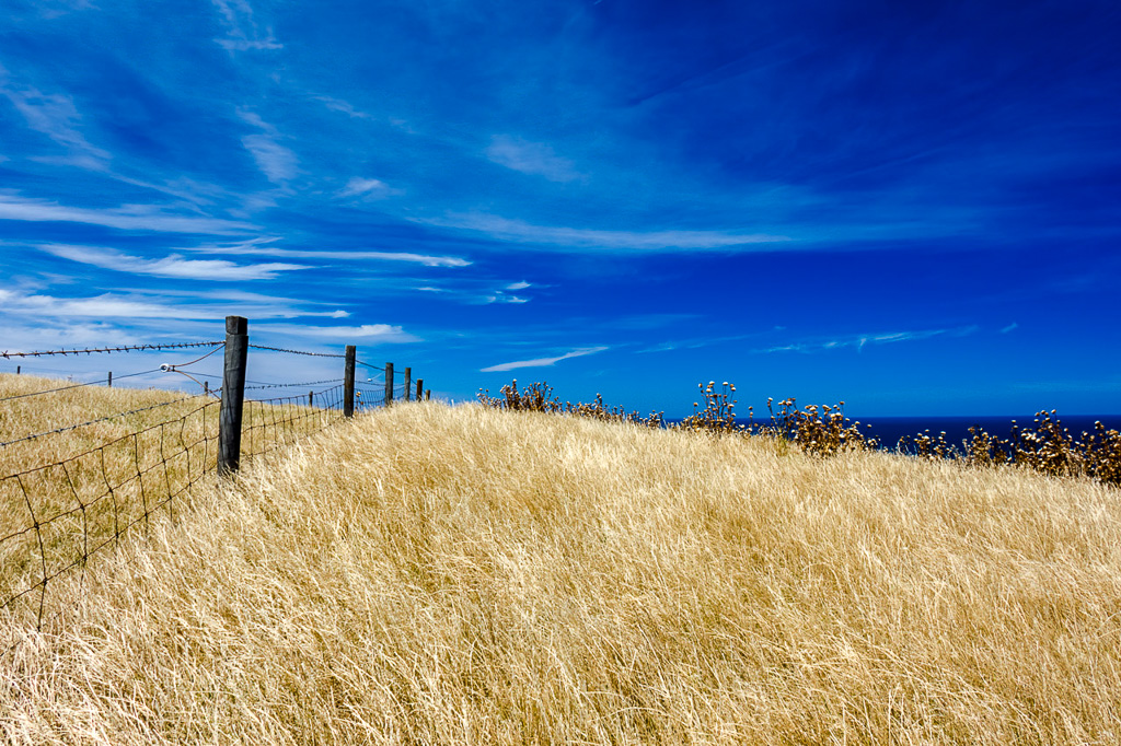
Once cleared I had a tricky little descent down the other side. The walk notes say the best way down is to walk to the end of the fence and then head right down a gully. I walked down that the first time and nearly broke my neck.
This time, instead of going right, I jumped the fence to the left and found a rough track down to the beach. It’s a lot easier and someone has even marked it with a couple of wooden stakes to guide the way. I guess hopping the fence is going onto private land? Maybe, but it doesn’t take long to get down and I can only suggest if a farmer without teeth approaches you firing a shotgun, ‘get low and go, go, go’. Then again, isn’t that what you’re meant to do in a fire? I can never remember.
Anyway, once down on the beach I now had Wild Dog Bluff ahead of me. This is where I turned around the previous time, but I was flying now. I began to scramble around the rocks and whilst doing so, came across a few rock fishermen. It was interesting to watch them and I can see why a few get washed off rocks every year. This bloke really did wait until the last moment to make a dash for it when a sizeable wave rolled in.
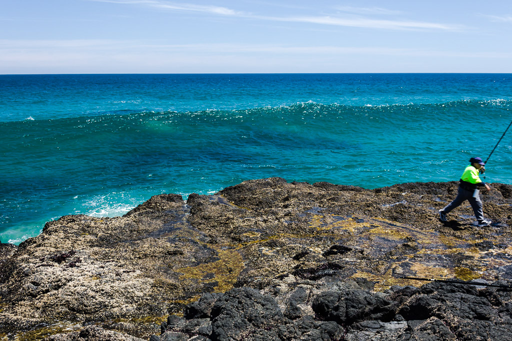
Run!
I shuffled around the rocks and reached Berry Beach. This was another lovely spot, but there were a few people on this one. I always feel a little bit intimidated taking beach shots with a whopping DSLR when there’s scantily clad people around. When I carry that camera I always get weird looks which is off-putting. Then again, sometimes when I’m taking photos I’ve forgotten to put my pants on, so that might be a reason people stare. Who knows?
I headed off the beach to follow a cliff-top track to Pyramid Rock. The path started out as gravel…
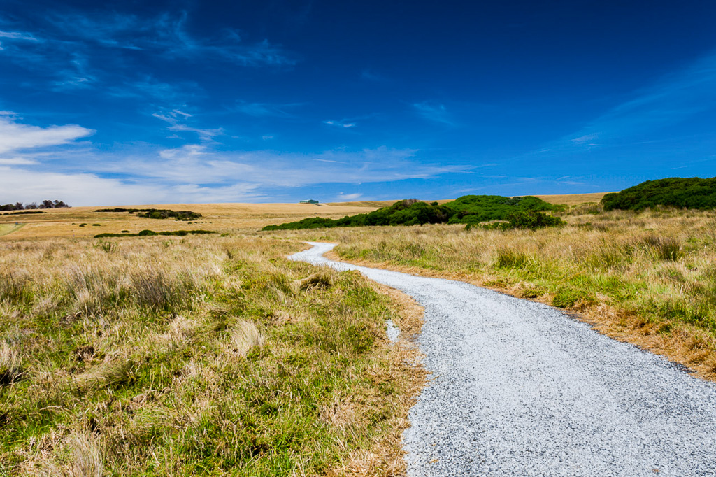
…but soon ended up as a nice comfortable grass track. I’d been on the look out for feathers and the first one I found was quite pathetic in size for a photo. Oh well, this is as good as it gets.
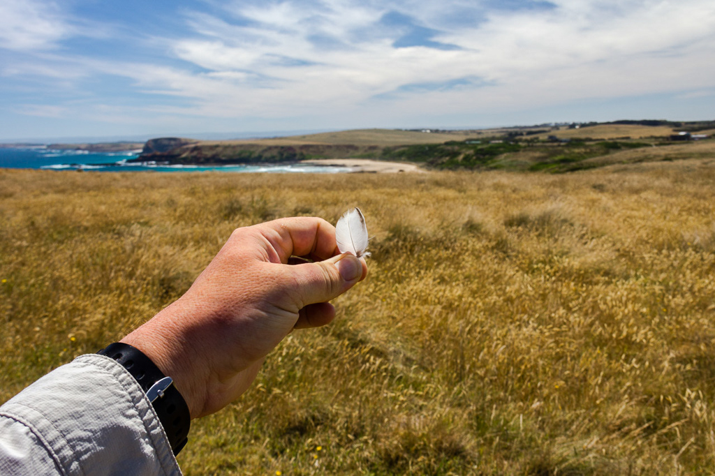
Smallest feather in history
Ambling on I met my first walkers for the day. A family of four walking from the opposite direction and I stopped to have a brief chat.
The father asked, “Where have you come from? Is there anything worth seeing down there?”
I said, “No, not much other than the shipwreck of what at the time was the largest three masted steel ship in the world, deserted beaches, cliffs of volcanic basalt of which the platforms are filled with zeolite and calcite crystals from the Paleogene period and a place where rocks buried and compressed during massive earth movements during the Cambrian Period of 600 million years ago are called ‘greenstones’.”
He said, “Oh. Nothing worth seeing then?”
I said, “Yeah.”
So, they turned around and we both walked in the same direction towards Pyramid Rock. I let them get a few hundred metres ahead and things were going smoothly. Suddenly though, they abruptly slowed at an elevated timber track. I kept strolling and as I overtook the father I was somewhat surprised when he grabbed me by the shoulder and said, “Don’t go any further!”
I immediately stopped. For this dramatic action to happen, surely there was something ahead which was life threatening. Surely? Oh yeah, being restrained was a good reason to stop as well.
He said, “I think I saw a fox earlier and you’ll scare it off”.
I said, “Mm. Okay.”
He said, “When we passed earlier I’m sure I saw a fox, but I wasn’t sure. It could have been a rabbit, but I want to confirm it’s a fox before reporting it. I don’t want to ring up if it’s not a fox, but if I see it I can ring. If it’s a rabbit, I might ring as well, but I want to confirm it’s a fox, right?”
I said, “Yes.”
I looked around and as it appeared foxless I was released from the strangers grip and moved on. Mind you, I was walking a lot faster than before to escape these lunatics. I must mention the reason for this interesting event is there are signs along the way advising people to report foxes, as they’re a pest to the local wildlife. I hope all of this makes sense.
A short distance later I reached a carpark which was jumping with people. Pyramid Rock is an outcrop off-shore and it was certainly drawing a crowd on this sunny day. I went to the surrounding lookouts for obligatory photos.
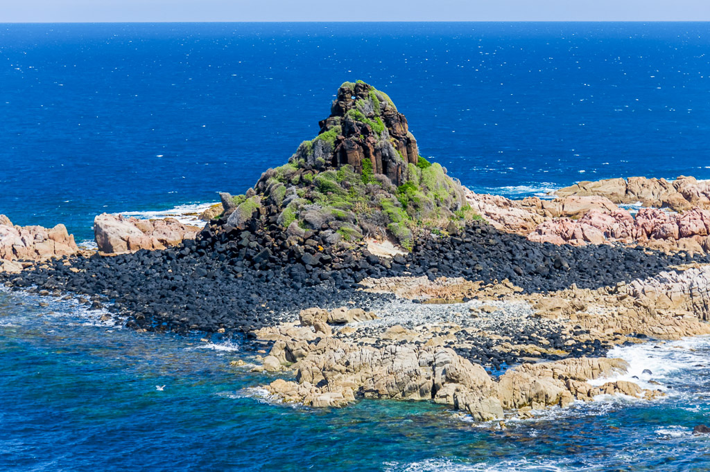
Pyramid Rock
The fun and games in conversations hadn’t stopped though. I took my day-pack off and was surprised to see a million flies buzz off from the exterior. This drew the attention of a bloke who said,
“Wow! Look all of the flies on you!!”
I said, “Yeah I know. That’s because I’ve developed chronic diarrhea and I’ve accidently shat myself so badly it’s gone halfway up my back.”
He said, “Wow!! You’re the amazing crapper man!!”
Okay, I just made all of that up. Shall we go back to the start? Once upon a time on a dark and stormy night…
He said, “Wow! Look at all of the flies on you!!”
I said, “Yeah I know. I’ve been walking, so they’re probably attracted to my sweat?”
He said, “How far have you walked?”
I said, “Umm… About eight kilometres so far.”
He said, “WHAT??? EIGHT KILOMETRES????!!!!”
I’ve never seen a man so stunned by such a short distance. It felt like I’d just told him I had strolled down from Sydney on the same day. He was still shaking his head at my incredulous news when he asked me to take a group photo of the people he was with. I took his camera and they all lined up on the lookout with Pyramid Rock behind them. It was pretty obvious what he was after, but he wanted to make sure I hadn’t just come down in the last shower.
He said, “Put us at the side and make sure you get Pyramid Rock in the background. I want to see the rock in the picture”.
I said, “Yeah, yeah, yeah. I’ve got it”.
I took the photo and just to stir him up a little I let them all approach me and just when he reached for his camera I put my hand up stopping him and said, “No. Go back. I’ll take another one”. So, they all strolled back to their positions as before and I took a second photo before handing the camera back. See? There’s always some entertainment when out walking.
The most important thing though, is there was something odd on Pyramid Rock itself. A blue object was perched on top and I can only assume it’s an ancient boogie board, which beached itself approximately 600 million years ago. Here, I’ll show you what I mean in this extremely fuzzy crop.
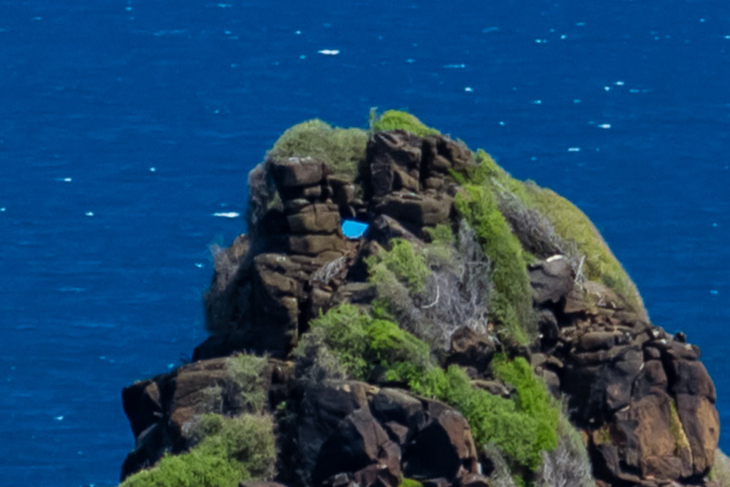
The mysterious blue object
Drama aplenty. It was time to head back and get around Wild Dog Bluff before the tide cut it off. There was minor excitement of a low flying helicopter…
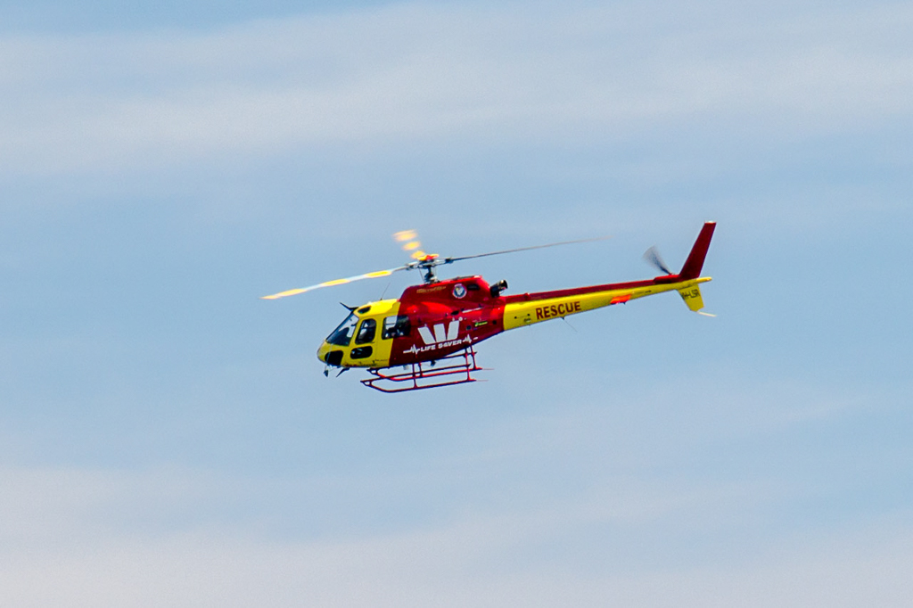
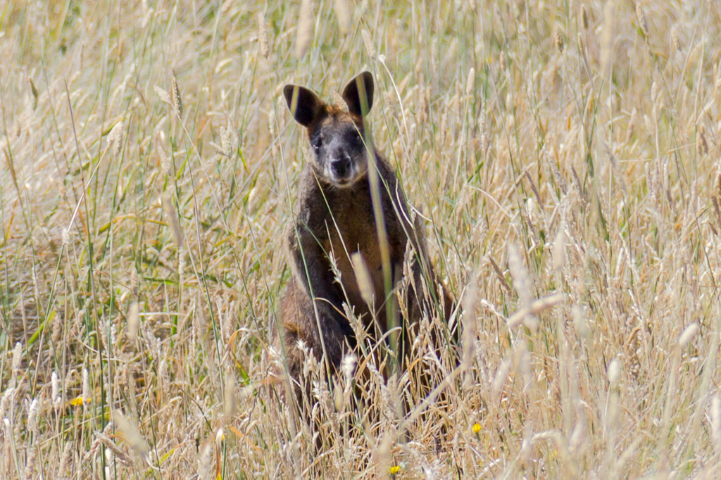
…and a wallaby (not a fox) hiding in the long grass. It was actually an exposure miracle for me, as somehow I successfully focused on the wallaby instead of the grass in front of its face.
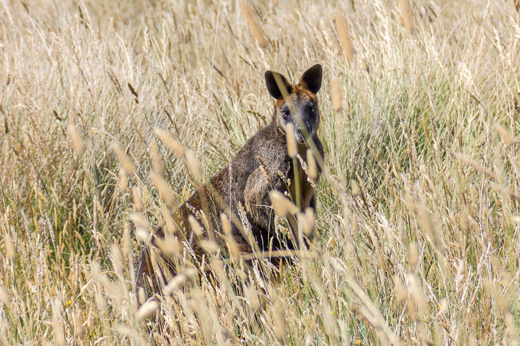
Then I slipped back down to Berry Beach and approached Wild Dog Bluff. On the way though I found some treasures from the deep. Firstly I was so close to finding a pair of Ray-Ban sunglasses. Maybe next time I can find the rest.
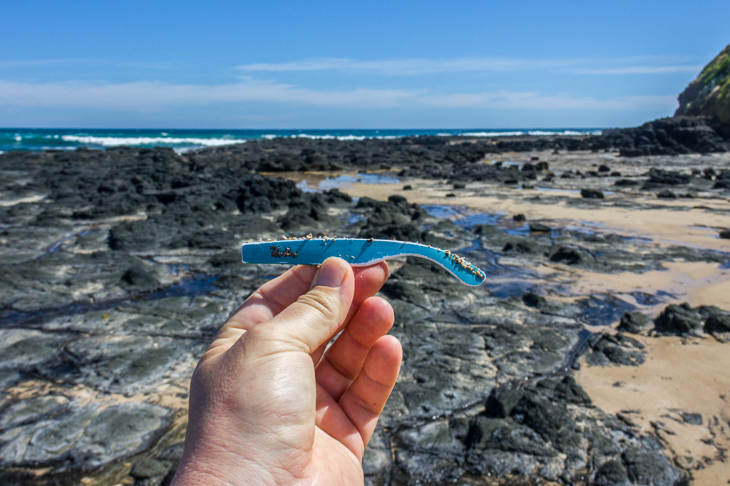
Almost
Then I spotted some sizeable bones in the rocks. It looked like a radius and ulna together and I wonder who they belonged to. Dog? Cat? Seal? Dolphin? Human? Yowie? Who knows, but have I mentioned the saga of how Ben and I found some human vertebrae on a Phillip Island beach a few years ago? That was interesting, as it was on a beach where two people had been washed off rocks a few months earlier. Don’t worry, I handed it to the police rather than use it as a paperweight. Here was my latest bony find on the rocks.
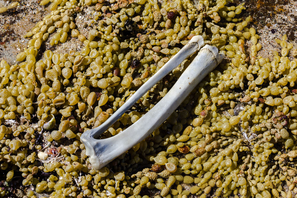
I had to keep moving though as the tide was coming in, so I left the bones behind. It was two hours and fifteen minutes since the tide had turned and it had already reached a point where I had to do some scrambling to avoid getting wet. The fishermen I’d seen earlier had either left or being washed in, as they were no longer on the rocks.

Wild Dog Bluff
I successfully made it around, but I wouldn’t have wanted to leave it a lot longer. Some large waves were rolling into the rocks around me.
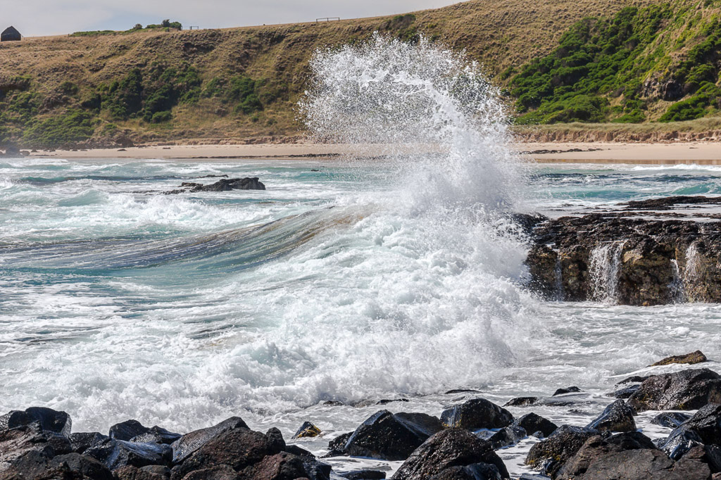
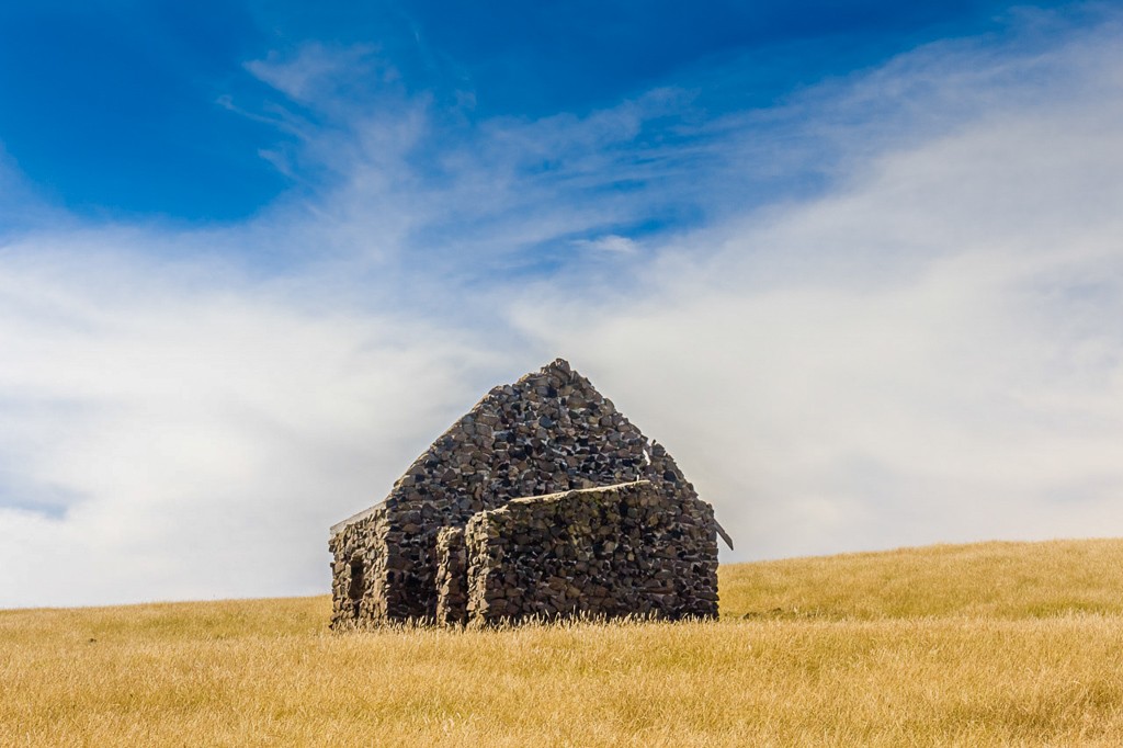
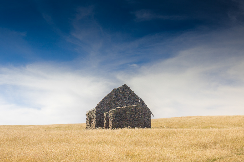
I now had a calm walk back to my car. I walked back over Helens Head and passed an old stone farm building along the way.
The one thing I found annoying wearing the shorts and sandals approach was how itchy my legs were from walking through long grass. See, like this.

I seemed to have dozens of little cuts in the skin from the sharp grass. It was traumatic, but at least I had some nice views of Thorny Beach as I began to descend down to it.
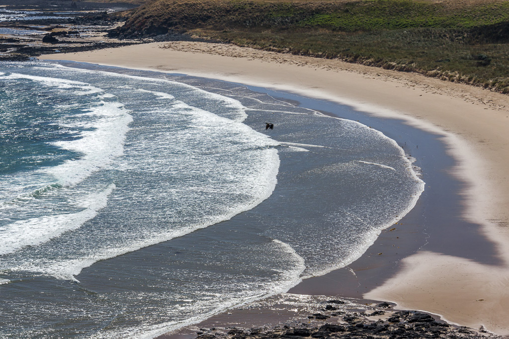
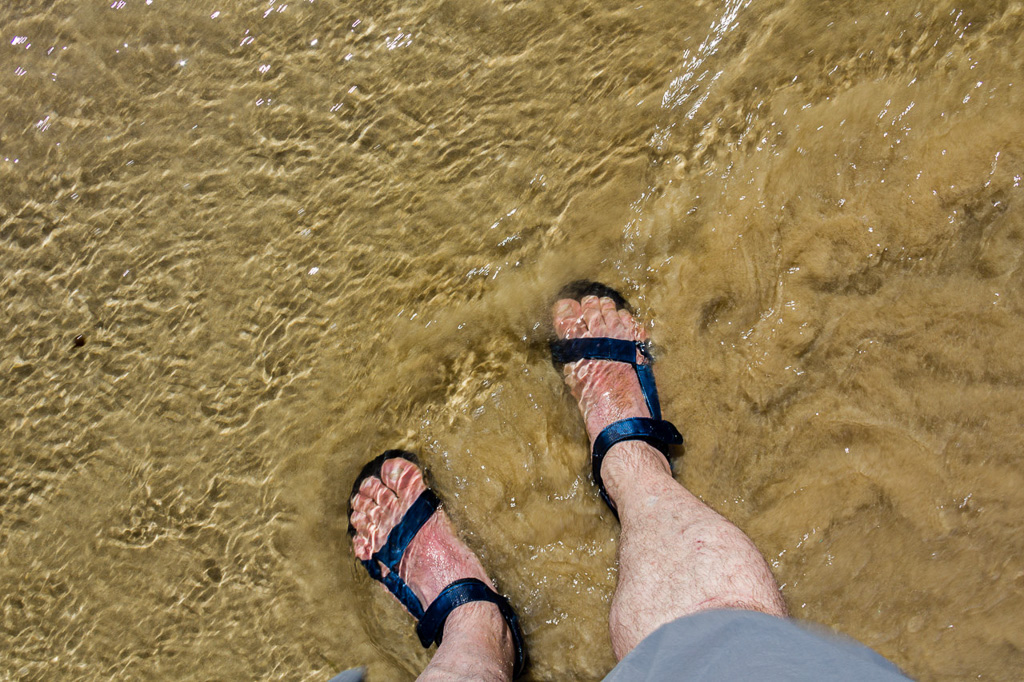
The insane itchiness on my legs was calmed by walking in the shallows of the beach.
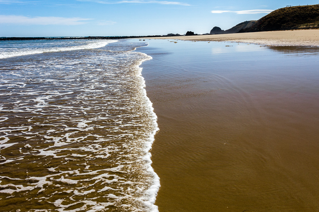
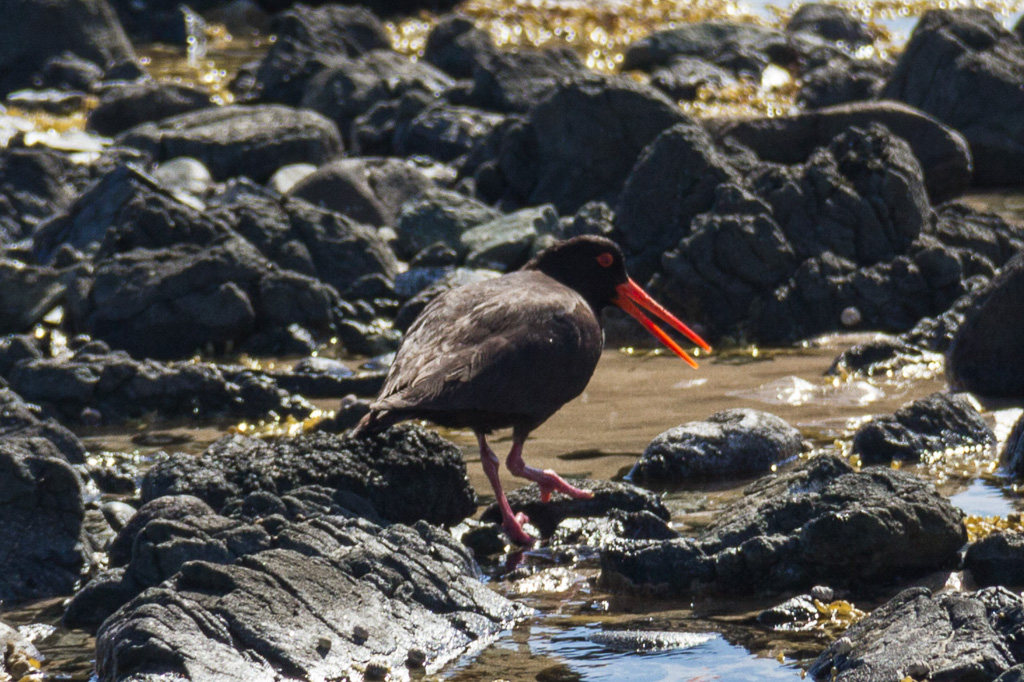
A Sooty Oystercatcher squawked loudly at me…
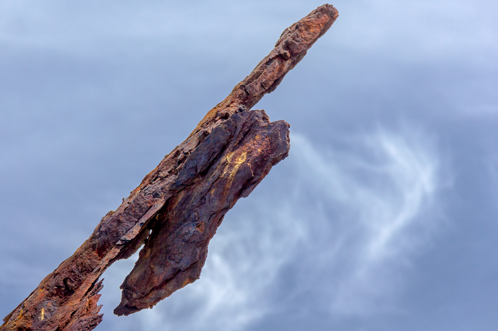
…and I passed the Speke shipwreck again.
Then after walking around Kitty Miller Bay I was back at my car. The walk was done! As you can see, the posts are not going to be any shorter this year. Oh yeah, what did I say about 40 photos? Well, I lied, as there’s 41 so far.
In finishing up I must mention the whole ‘shorts and sandals’ routine. At the start I was worried about sunburn on my feet, so I liberally coated them in sunscreen and then reapplied a couple of times during the walk. The trouble is it was bloody hot though and the end result was my feet got sunburnt! Have a look at this. Strap marks and all.
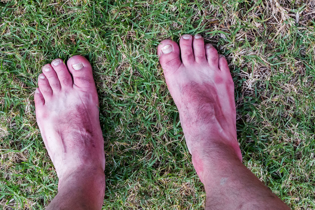
Cook on 180 °C for three hours until done.
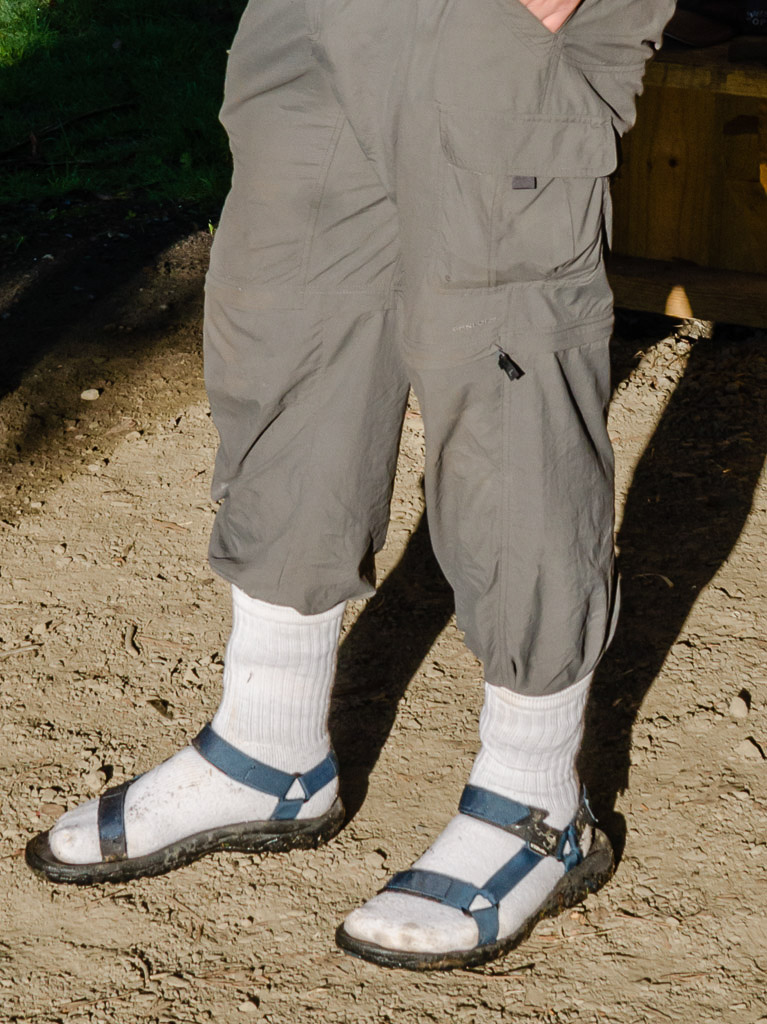
I loved wearing the sandals on a hot day. The only problem was sunburn, sand getting under the straps and the odd bit of debris between my foot and sole which was annoying. The solution next time? There’s something that solves all of those problems in one hit and you already know what it is. I’m going back in time to the blister fiasco on the first failed attempt on the Great South West Walk. Yes, the white socks will be back again for the next sandal walk.
Unleash the beast

Beautiful photos! You caught that crashing wave at the right time. Hard think about hot and sunny as it's cold and rainy here (but snowy in the mtns he-he!)
Thanks Linda! I hate to say it, but the wave shot was a fluke! I just saw the wave at the last second and just shot quickly as it hit. That's always the way though with those sort of photos isn't it?!
Lucky you with the cold. We're sweltering here! The 41 C (105 F) we had here yesterday has cooked my brain a little 🙂
Great photos. Pretty cool shots of the wreckage. Thanks for taking me along on this *virtual* trip
You have some fantastic photos here (no wonder you posted 40, er, 41 of them). I love the way you framed some of the shots.
S&TT
Thanks Andy. It's a nice walk and even on this sunny day I hardly saw anyone, which is surprising as Phillip Island is so busy over the Summer! I think coast lovers would like this walk.
I was lucky with those clouds and sky for the wreckage photos. I've got similar ones of the same thing in Winter and they're pretty plain!
Thanks for dropping by and taking the time to comment!
Hi S&TT. Thanks for talking up my photos! I must admit they came out a lot better than the previous visit that's on the blog! One day I might like them enough to print some rather than leaving them on a hard drive!
Framing and composition is the key to nice pictures isn't it? I'm always thinking of that when taking photos. Sometimes I get it right, but a lot of the time I'm way off. Lucky for digital cameras!
Thanks for dropping by!
Sandals and beach-hiking: never again for me! As for the 8km, that's more than a lot of people walk in a month, so you deserve to put your sunburnt feet up for a bit.
I remember you had some trauma with those sandals. Was it on Moreton Bay Island? I do know what you mean. The sunburn and then the sand grinding in under the straps. That's why the socks would work. I think! My next coastal hike in Summer will be the unveiling of the socks and sandals package!
Yeah, I don't think of the theory that some people don't walk at all. When I read about blokes doing 31 miles around Manhattan, that's when I think I'm barely doing anything!
hey greg, funny as! and the photos are really great. i've done some of this walk and never spotted those excellent derelict stone buildings – how far along your return walk did these things pop up? awesome mate – keep on bloggin'!
Hey there, thanks for dropping by! I loved this walk and I had a perfect day for it. Well worth doing if you can get all the way to Pyramid Rock. Just coordinate it with the low tide!
That stone building is in the farmland on top of Helens Head. It sits in a paddock near the fenceline. I was going to hop the fence for a closer look, but it's an electric fence, so I wimped out. Knowing my luck I'd hit it 🙂
The walk would also be fine if you've got someone to pick you up at the end rather than turning around like I did and walking back! Have fun if you try it. Remember over Helens Head go left to get down to the beach rather than the notes which say head right into a gully. You'll appreciate my advice 🙂
Not meaning to rub it in (like Moreton Island sand under sandal straps) but I just realised I've been shortchanging myself with that Manhattan walk – it's actually 32 miles, plus a mile each way to and from the start point!
You do realise 32 miles is 51 km? I think that's about 20 km more than I've ever walked in a day. Well, on the GPS in the last few years. There might be something longer about 20 years ago, but I don't think that really counts! It's a crazy effort, but for a thru-hiker like you it would have been a walk in the park!
Hey can you get to see that stone building by stopping at berrys beach carpark of pyramid rock carpark? I don't mind a short walk. Also is there a way to get to the bottom/beach near pyramid rock?
Hi Lois, Yes, I don't think it's too far from Berrys Beach carpark? I've got a Google earth screenshot of where the building is if you're interested. If so, drop me an email at greg@hikingfiasco.com and I can send it to you.
I'm not sure about getting onto the beach below Pyramid Rock? Rocks and tides could be the problem.
Loved it .I am just wondering about the farm house ? Love to photograph that .Could you please tell me how to get there ? Thanks !!!
I’m glad you did! I enjoyed this walk. Mm… It’s a bit hard to describe how to get there. To show you where it is, go to Google maps and enter this map reference -38.514249, 145.190511
With that reference you’ll see them, although easier to see in the satellite photo of course 🙂 Getting there is another thing. It’s not hard, but takes a little walking. I came from the Kitty Miller Bay car park. Followed the coast around past the wreck of the Speke and then continued along the beach until climbing a distinct headland (Helens Head) and there it is. Amongst the farmland. Let me know if none of this makes no sense and emailing might be easier to describe than here 🙂
G’day Greg – long time reader, first time contributor…
A bit of info on the derelict stone buildings (there were two last time I was there, one at each end of the bay). The farm is owned by the Cameron family, long time Phillip Island residents, and I bumped into Fergus Cameron a couple of years back, and asked him about those buildings. Apparently, they aren’t that old, and they were built for a movie that was shot there in, I think, the 70’s or early 80’s. Phillip Island’s version of Craig’s Hut…
Hi Steve, oh wow, you’ve ruined the whole ‘ye olde stone buildings of Phillip Island’ experience! What’s worse if you’ve not got me intrigued about what movie they were used in. Looks like I’ll have to do some research! It would be nice to get a screenshot from a film as a comparison to how the buildings are now. So many things to do, so little time 🙂 Thanks for your comment!
Hi Greg – now you’ve got me interested. I’ve done a little sleuthing of my own, and haven’t been able to come up with any movie that fits the bill, but I did find an entry on the Phillip Island Historical Society website – https://victoriancollections.net.au/items/5600cc89400d0c22a881b84c. This is supposed to be ‘One of a pair of settlers homes on the property of the Cameron Family, Watts Road, Ventnor. built about 1880’ – unfortunately the photo doesn’t want to display. However, perhaps my information was incorrect – even though it apparently came from the horse’s mouth! I’ve emailed the PIHS to see if they can shed more light. I’ll let you know if I hear back from them.
Ah, I see what you mean. The mystery deepens! I had a look at the link as well and it doesn’t display for me either. It would be nice to know the definitive answer, as clearly someone is wrong 🙂