I’ve found that hiking is not really a ‘spur of the moment thing, as usually there’s a bit of planning involved before heading out. The other day I thought I would ditch that principle as I lay on the couch covered in potato chips. About the only thing I’d successfully accomplished that day was put my underwear on and even then I think it was on backwards.
I needed to go for a walk and there was the suburban option of sucking in exhaust fumes whilst trying to cross busy roads or head for a relatively nearby National Park. It was a bit of a tough choice, but I elected for the park, as my suburban walking clothes of Woodstock bourbon t-shirt, faded denim jeans that are four sizes too tight and my adhesive mullet were in the wash.
I had been to Werribee Gorge a few times before and there a number of walks to choose from, but that’s of course if they’re open, as the main circuit walk seems to have been closed since the park was formed 500 million years ago. The common theme is ‘flood damage’. It might clear before I die, but somehow I doubt it. Sooner or later I’m going to have to take a chainsaw and a backpack full of whoop-arse and ignore the ‘closed’ signs and just get the hike over with.
The Centenary Walk to the Island, Werribee Gorge State Park, was one walk that suited my spur of the moment decision to head out though. It’s not listed in my trusty Glenn Tempest guidebook of ‘Daywalks Around Melbourne’. I’ve no idea why, but I assume it was printed before the walk was put together. Either that or he’s running the Tony Montana approach to hiking books, “All I have in this world are my balls and my walks and I don’t expose them to anyone”.
This walk is listed on the Parks Victoria website as a four kilometre return, but rated ‘medium/hard’. I’m always wary of the grading given to walks, as I’ve been caught out before. I should be in charge of that stuff, so let me see.
Easy – Can be completed with a cup of Dilmah in one hand and a lemon tart in the other.
Medium – Ensure something is on your feet other than ugg boots and exertion will guarantee the use of bad language.
Hard – The sustained effort will make you feel as if you’re hotter than the devils underpants (and you know how steamy they are). Swearing will be non-existent, as all oxygen is required for breathing and even though you forgot to update your will, you can only hope for sudden death.
I think there could be one more category and that’s ‘impossible’, although I’m not sure if there’s anything worse than death? I guess getting captured and being used as a sex slave by a Yeti? I reckon that would be pretty disappointing.
Anyway, I set off and as this wander was impromptu, I’d also packed in ‘spur of the moment’ style. I was positive I had everything I needed until I reached the Quarry Picnic Area carpark just inside Werribee Gorge.
First of all I noticed I’d forgotten my Personal Locator Beacon (PLB) which always make me nervous, as I think even on small walks it’s a handy thing to have. Especially at this park, as I noticed that there were no cars in the car-park and it would be unlikely I would come across anyone during the walk.
What else? Oh yeah, I forgot my trusty bandanna, which I find is vital due to my World’s Hottest Man (WHM) rating, so that meant some sweat would be going in my eyes. Is that it? No, of course not silly, I had also forgotten some snacks (FOOD).
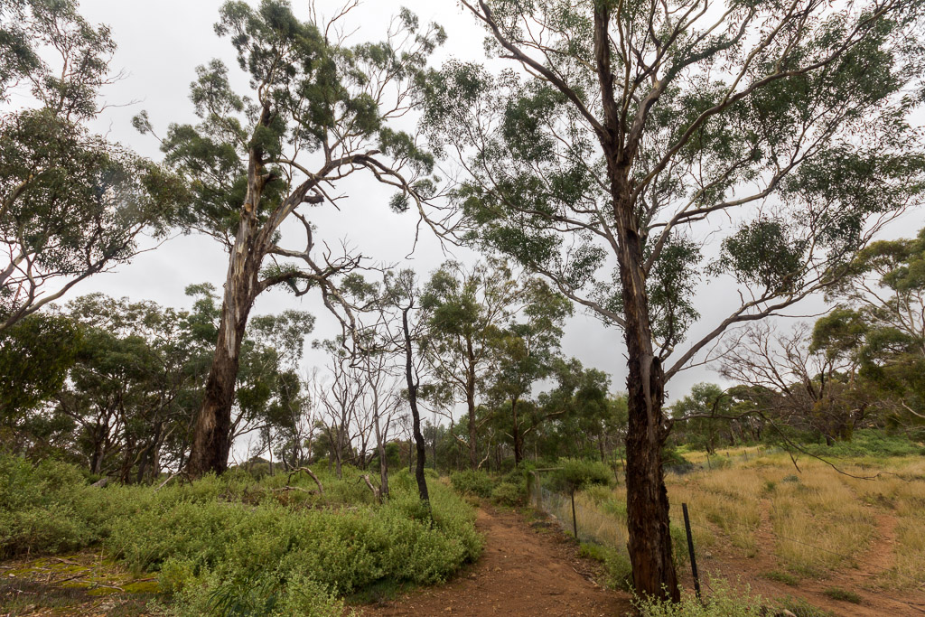
The start of the walk was simple enough, as I side-stepped all of the Werribee Gorge standard posters saying, ‘Circuit Walk Closed’. I noticed one of the posters was written on parchment, which made me think that the walk had been closed for quite some time.
Whilst it was a steady uphill walk into an open forest before levelling out, I was a bit pre-occupied with some camera problems. I was using a DSLR with an 18-135 mm lens. Usually it’s fine, but suddenly it appeared possessed. It refused to focus and then when it did, one half of the image was blurred. I began to think it’s not supposed to do this. I wasn’t sure if the problem was lens or camera which was a worry.
I remembered a few weeks ago I was getting a bag out at home which the camera was in, but it decided it didn’t want to be ‘in’ any longer, so it flew out. When I say ‘flew out’, I mean it cart-wheeled through the air whilst Ben and I stood staring with mouths agape until it drilled itself into the floor. No, not the carpeted lounge, but on the hard kitchen floor of course. It did seem to work after that, but I can’t say I’ve taken many photos with it since.
Mm… Potentially a colossal bummer on my hands, as I don’t have a lot of camera luck. I changed lenses to an 85 mm prime and then I kept my fingers crossed it would work okay. That’s if I could take photos as it started drizzling and wouldn’t stop. It continued for quite some time and it felt like I was in Scotland for a moment, so I put the camera away in the bag. Guess what happens when one does that? It stops of course, so I went through the rigmarole of getting it out again.
I was checking the GPS as I went and I noticed the walk was a lot longer than I thought it was meant to be. The map said, ‘4 km return’ which to me means two kilometres one way and two back. Surely that’s right or have I been wrong for the last 75 years?
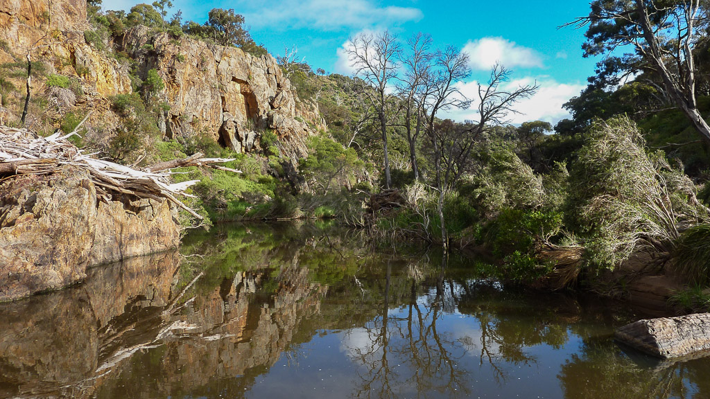
Well, two kilometres passed by and I didn’t appear to be near my destination of an ‘island’. In fact, I had no idea what the ‘island’ was and I was hoping there would be a sign when I got there so I knew when to stop walking. The path eventually began zig-zagging down a hill to Junction Pool where Werribee River meets Myrniong Creek. Have you got all that?
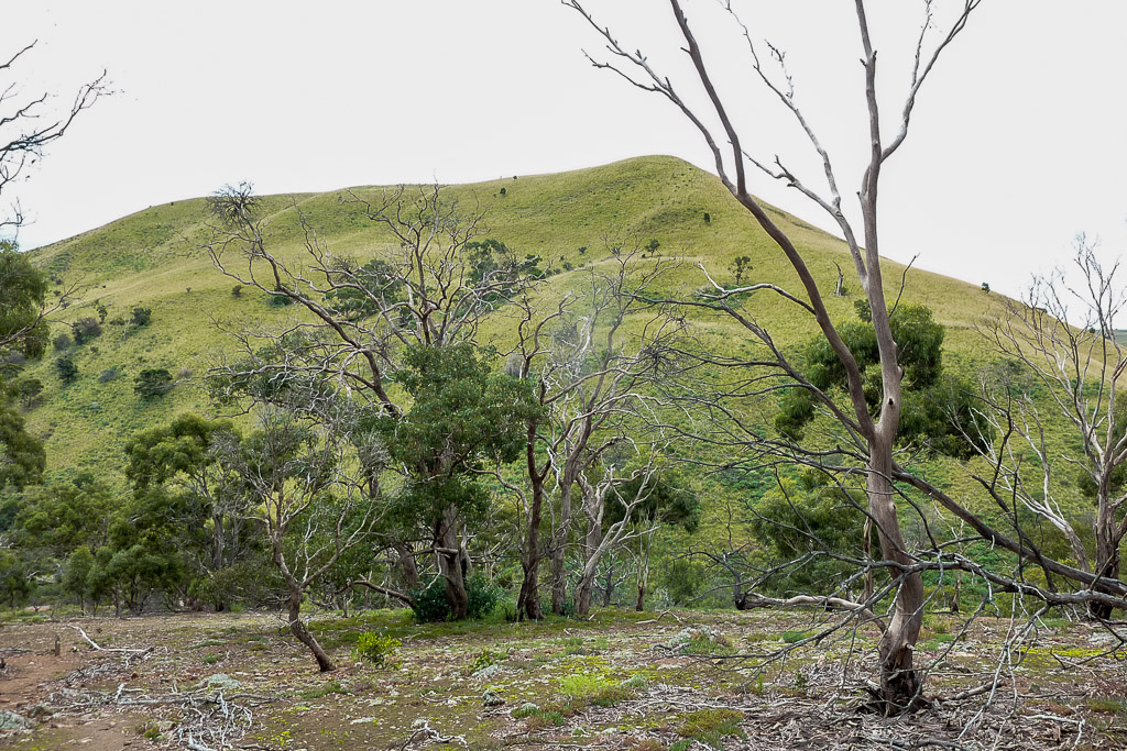
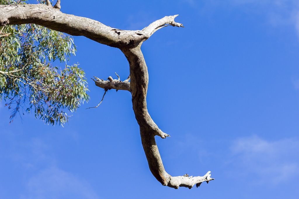
As I was descending, my vision started to fill with a bloody big hill devoid of trees in front of me. Mm… I think I’ve found the ‘island’ which I only later discovered is officially called the ‘W. James Whyte Island Reserve’.
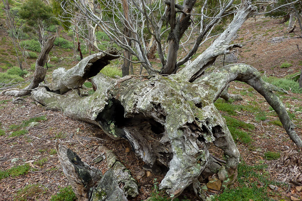
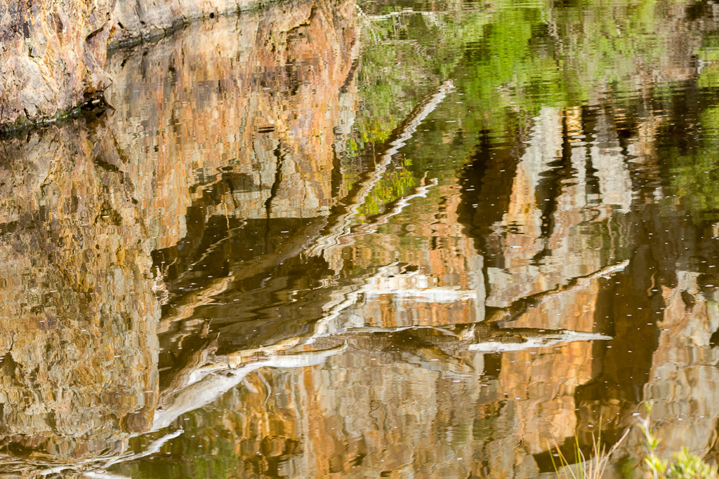
What does the ‘W’ stand for? Who uses an initial as a first name? Lots of questions and I’m sorry, but I have no answers. Anyway, what I did find when I reached the water is plenty of signs of flooding. It was quite amazing to see rather large logs piled over 10 feet above the current water level.
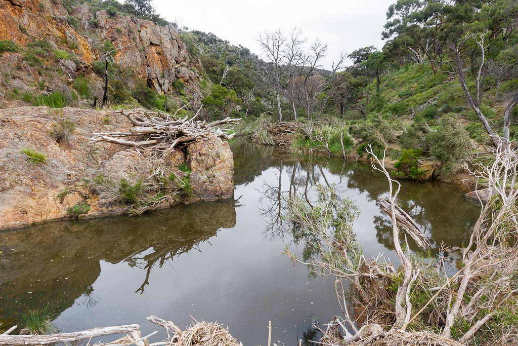
Junction Pool
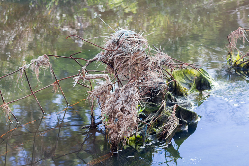
Plenty of debris at Junction Pool
I also noticed I had to cross the creek to get to the path that led up the hillside in front of me. It wasn’t too bad with the water low, but I did concentrate pretty hard as the rocks were slippery and in any sort of flooding it would be impossible to cross the creek near Junction Pool. In fact, it would almost be worthy of one of those special ‘walk closed’ signs of which I had seen a million at the start.
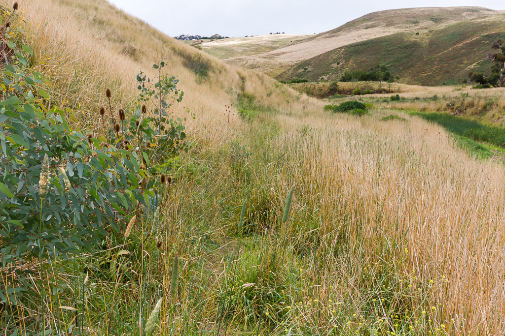
Well, it was time to climb a rather large hill and a path followed next to the creek for a little while before ascending. It was a bit unnerving near the creek as the grass was long, covering the track. Instantly I had visions of snakes who would love this stuff.
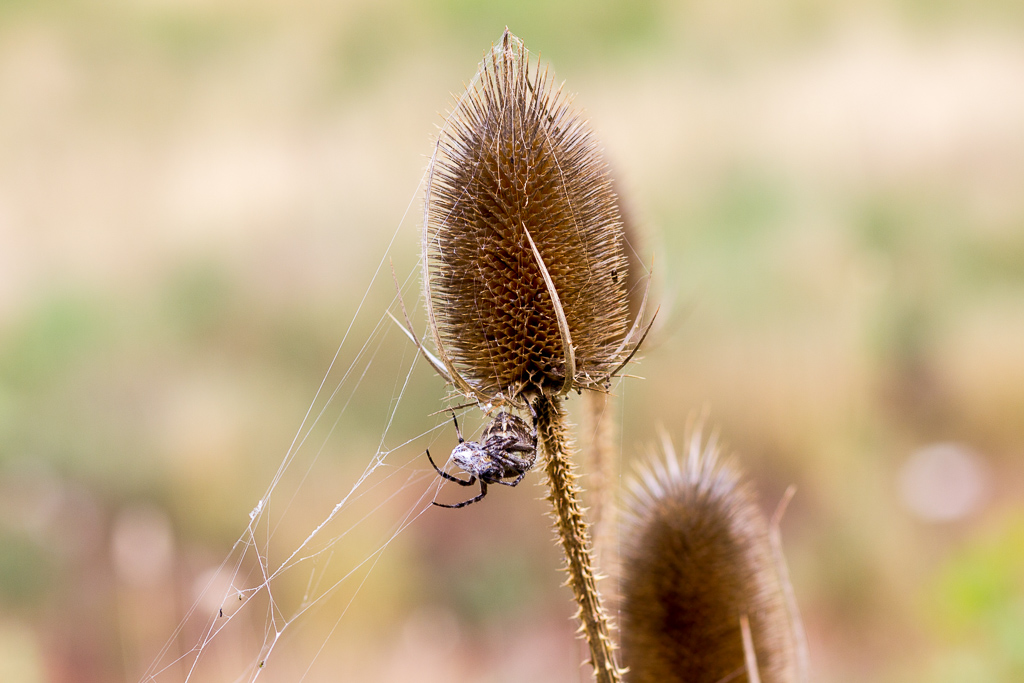
I was so traumatized I ended up constantly repeating in my head the Billy Ray Cyrus tune, “Don’t break my snake/My achy breaky snake…” Even better, after gingerly stepping through the grass wishing I had a trekking pole with me, I walked into some rather large spider webs.
There’s nothing quite like having a spider web draped across the face, complete with the hollowed out corpses of insects sticking to it. In fact, I did spot one of the spiders who resided in a web I bowled through, although I wasn’t sure if he was actually alive, but I wasn’t game to poke him to find out.
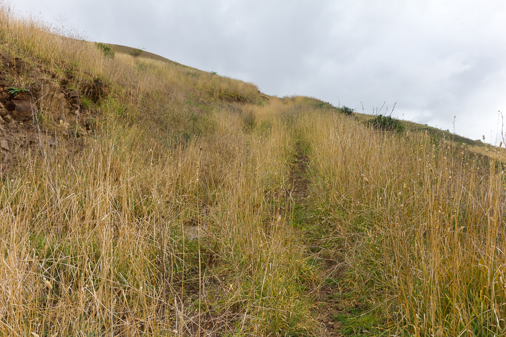
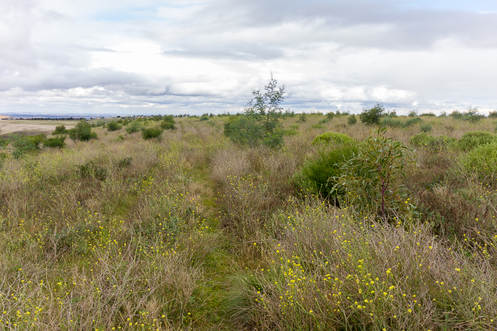
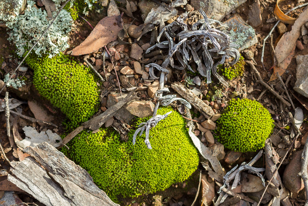
Once away from the creek the path became less stressful, as I was away from the water, but the long grass was still a bit unsettling. The hill was a reasonable climb, but the incline was gradual and there were a few interpretive signs dotted along the way to keep the interest.
Following the creek through the grass
Heading uphill
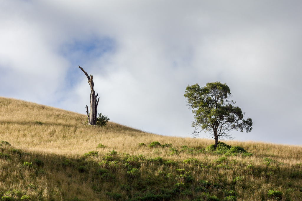
Away from the gorge, the surrounding landscape has a generalised ‘cleared for farming’ look and it would have been interesting to see how the area looked like a few hundred years ago. I didn’t have a tardis on hand, so all I could do was continue plodding on.
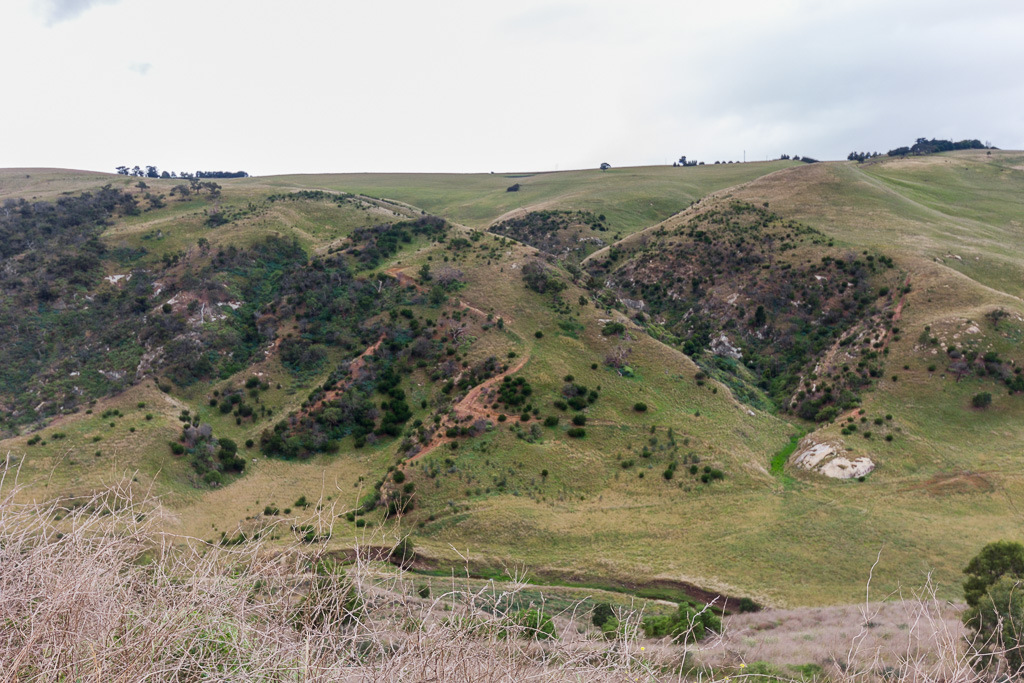
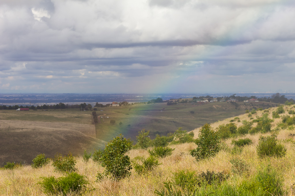
After quite a long slog I reached the top to be greeted by a sign that said, ‘Lookout Circuit 1 km’, which meant to see a view I had to keep walking. The top of the hill was expansive and flat, so much so it was almost like an island, which would be a good name suggestion I think. I must get in touch with the conservation volunteers who manage the ‘Island’ and let them know. The view was quite plain on the side I climbed, but opposite was Werribee Gorge, which was a lot more dramatic.
On top of the Island
I eventually found a little wooden lookout point and sat down for a rest and a bit of a perusal of Werribee Gorge itself. I could see Falcons Lookout which has starred in the blog before and it reminded me that I never did buy the Utmarkt turner for $1.49 in the 2011 Ikea catalogue. How would it work with a hole in it?
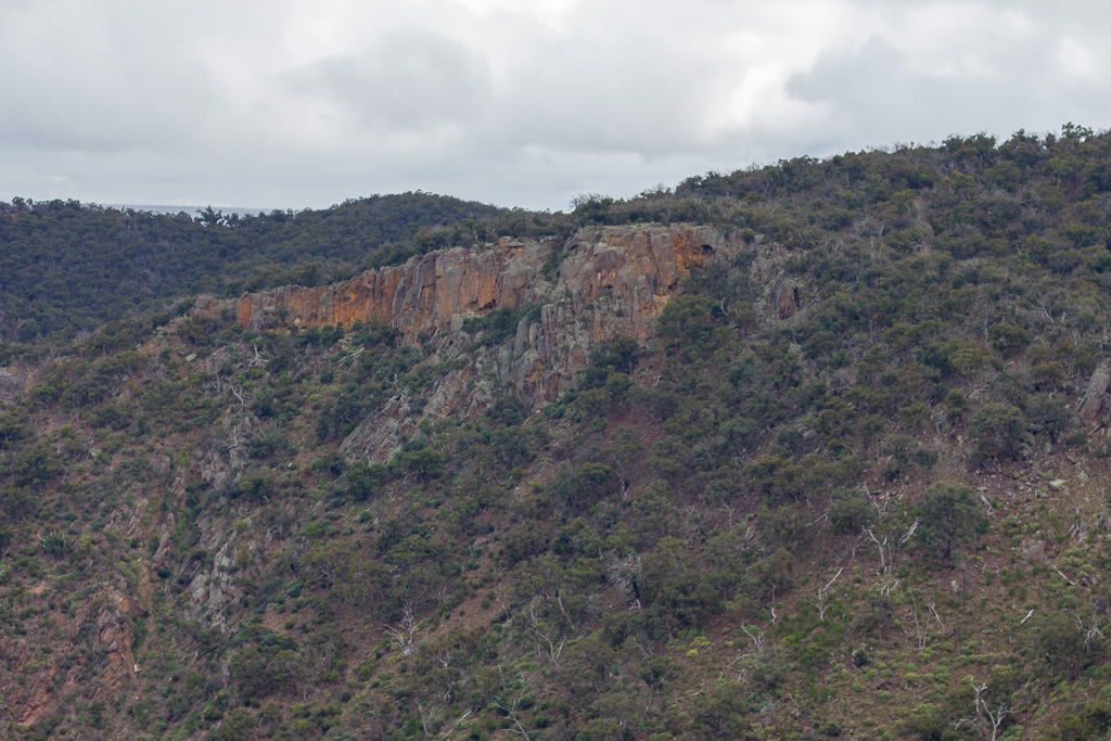
Falcons Lookout
Whilst I was standing at the lookout taking photos, I kept hearing a weird sound. Initially I wasn’t sure what it was, but it was coming from in front of me somewhere. It was a little strange, as it sounded like the noise a gorilla would make if you had one arm around his neck in a headlock and the other gripping his testicles. It reminded me of the special sounds I make during foreplay, until I suddenly worked out where it was coming from. It was the camera!
This time it was the Panasonic Lumix TZ-7 which had died after being submerged underwater on my Croajingolong hike the previous year. I had given up on the camera until I was really bored the other day and switched it on and amazingly it worked. “Yeah, it’s back in town!”, I shouted whilst running down the street complete with adhesive mullet flapping in the breeze.
That was then, but the reality now is it was stuffed. The foreplay sounding noise was coming from the lens whilst it was zoomed out, and it was actually moving from side to side which I think isn’t ideal for a camera. In fact the end result is pictures like the one below that in photography terms are classified as ‘unsatisfactory’.
Whilst waiting for it to upload to the blog, I worked out a technique to make it look better and that’s by staring at the picture, whilst shaking my head violently side to side. I found as I did that it appeared to be in perfect focus, so by all means give it a go, but I’m not held responsible for any medical bills due to ‘spin the brain in the cranium’ syndrome. Wow, that was almost the perfect rhyme.
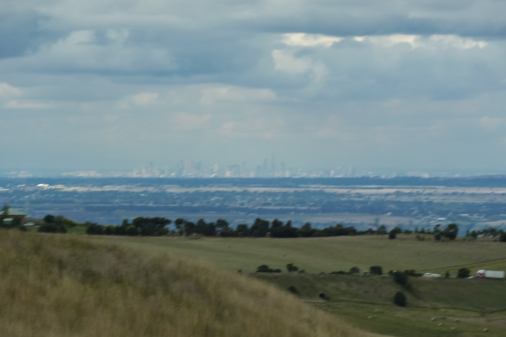
In the blur. Melbourne skyline.
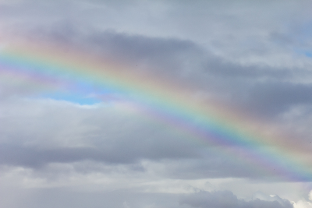
I’m kind of sorry to say, but the photos were average due to the second camera fiasco of the day. The light didn’t help either, but I could imagine during sunrise or sunset the view would be fantastic. If you’re interested in heading up the hill, then I can recommend late afternoon, as that would be the best time compared to the bland light I had. It did get a little interesting as one of those Scottish drizzle patches blew through and a nifty rainbow started to appear. It wasn’t a mega colourful one, but I found it quite worthy nonetheless.
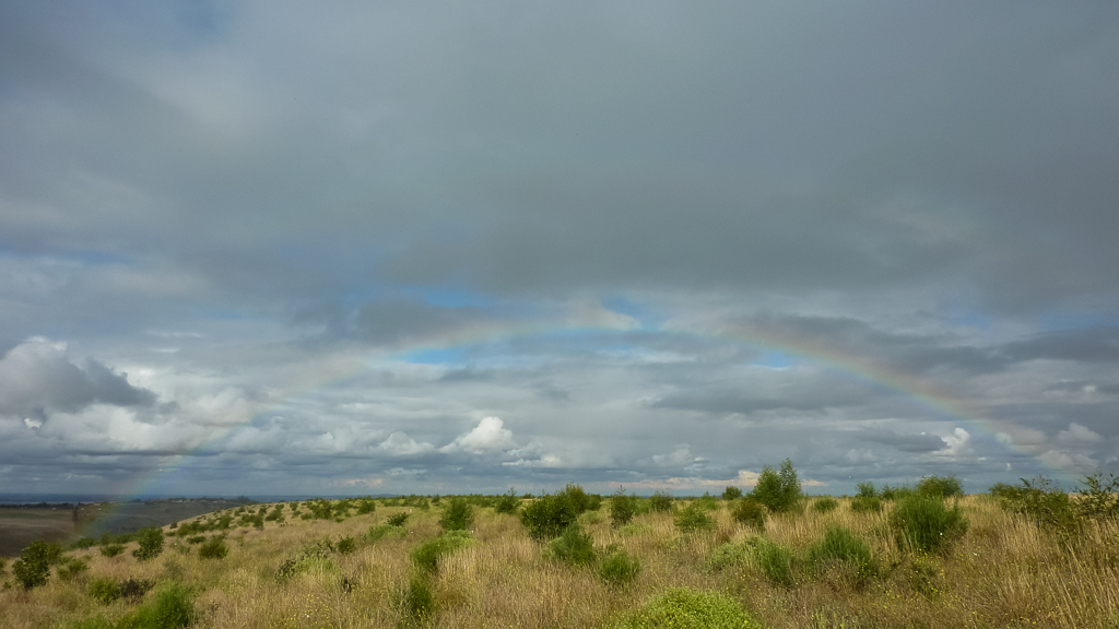
Some rainbow action
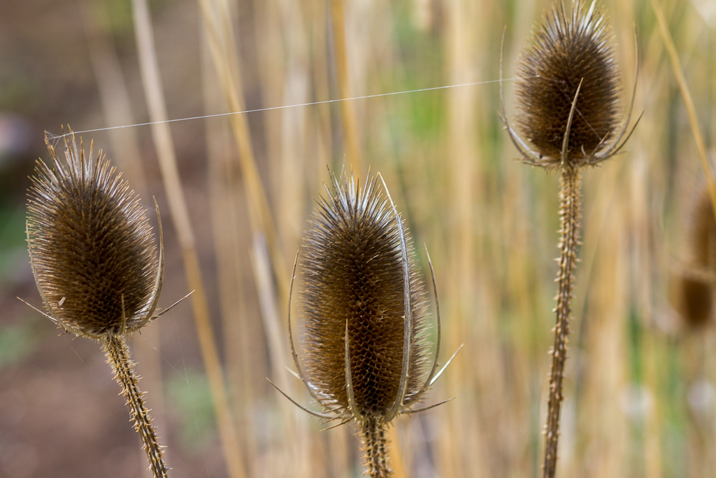
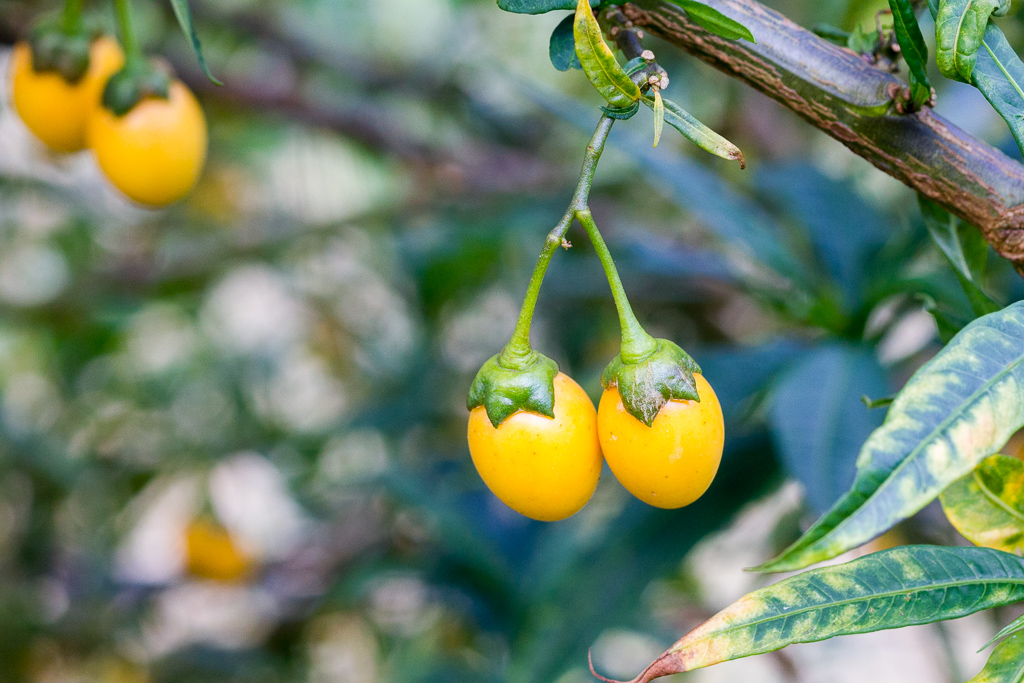
So, that was it and all I had to do now was make my way back the way I’d come. I do prefer a circuit walk, which I think I’ve mentioned in just about every blog entry I’ve ever done, but this wasn’t too bad. I was soon heading back into the long grass and that song started appearing in my head again. There were some quality plants to take pictures of on the way down though.
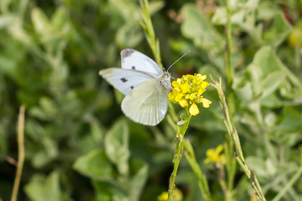
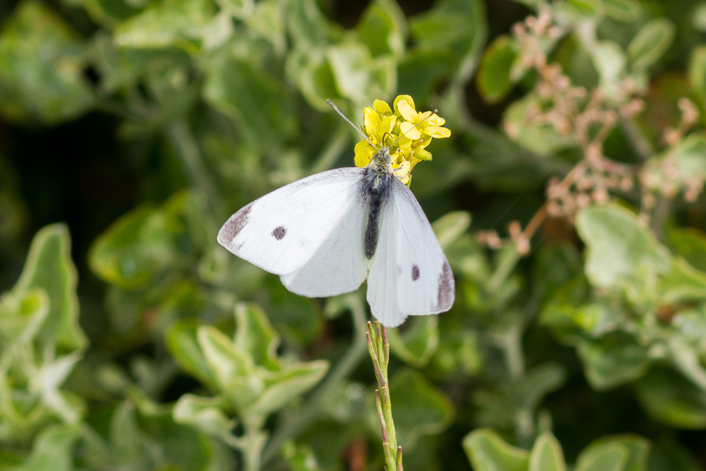
I also had to contend with plenty of butterflies and they drove me bananas trying to get some good photos, but upon landing they would be still for only a second before flying off. In the end I managed to get a few shots with only a little bit of blur of their wings fluttering like crazy. Have they not heard about fidgeting whilst their photo is getting taken?
I made it to the bottom in one piece and the sun was starting to get a bit lower in the sky making the overall light a lot nicer. Trouble is I was at the bottom of the hill now, but the area around Junction Pool looked pretty good, as long as one ignored the rubble from the flooding.
Well, time to head back to the car, so I began to climb the hill away from Junction Pool with the sun filtering through the trees. It made for some lovely photos, but the camera blur was pretty active at this stage. There were a few colourful sights on the ground and trees though in which I managed to get some focused pictures.
I must have been day dreaming on the way back, as I suddenly found myself in an area that I didn’t remember walking on earlier. Mm… I was ‘lost’, but not officially ,as I knew I was on earth which was a good starting point.
In fact it was a Daniel Boone moment,
“I have never been lost, but I admit to being confused for several weeks.”
Substitute weeks for minutes and you’ll have my situation, as I walked off track in the general direction where I needed to go, but found myself in some blokes backyard.
Yes, somehow I had come across a house, which was sort of good as I could have snuck down his driveway to the road and walked out from there. If anyone saw me though I’d have to explain how I was in the wrong spot and that felt a bit too traumatic, so I backtracked to where I’d come from. A bit of bush bashing and suddenly I re-emerged on the correct path. What was that all about? I’ve no idea, but all was well after a slight piece of geographical embarrassment.
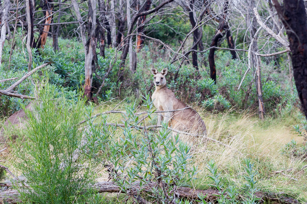
There was all sorts of commotion going on at the same time, as I’d stumbled across about 15 kangaroos. They appeared to have never seen anyone ever before, because they all went a little mental bounding through the bush, bouncing off trees and each other. It was like watching my dad trying to escape the nursing home at midnight.
A little bit more walking and I had reached the car. Now, I’m not sure what the blokes who measured this walk are smoking, but my GPS was telling me the total distance walked was 8.30 km. That appears to be a little bit longer than the listed ‘4 km return walk’.
Maybe I’ve been deluded with the whole distance and return bit all my life, but something doesn’t make sense. Oh yeah, the total elevation climbed was 387 metres as well, which was pretty good. It was a short walk, but it certainly took it’s toll on the equipment as the cameras were in a world of hurt.
I spoke to Ben about this and he blames the name of the blog. It’s become a subconscious thought that something will always balls up. I considered changing the name of the blog to ‘NoWorriesHiking.com’ or ‘NoProblemsMateHiking.com with dozens of photos of me smiling and giving the thumbs up everywhere. After I said that though the handset went quiet, so maybe he’s thinking it through?
Oh well, that’s it for another walk expertly dissected and explained. Now what? I guess I’ll have to get the Glenn Tempest/Tony Montana book out again. I was off home to have a steak for tea, but as I thought about it, that stupid song appeared in my head again, “Don’t break my steak/my achy breaky steak…”

That looks like quite a hike. The changing weather offers hidden treasures (the rainbow). I so often get dicouraged by the weather…your rainbow is a reminder to embrace it!
Thanks for visiting Tammy! Oh yeah, slightly dodgy weather can bring out some nice photo opportunities. I did get lucky with the rainbow on this occasion 🙂
I confess to doing the circuit track in the last few weeks. What a gem. Must have missed the 'trail closed' signs.
Thanks for visiting and the comment Trish! Sneaky you breaking all of the rules?! Signs were at the start, but I can't say there's a lot of effort to stop people on the track itself. I'm too law abiding for my own good 🙂
Hey Greg, enjoyed the post and like your blog. In particular, I like that you're keen on sharing the fiascos (we've all had them) along with the good experiences. I spent some time in Victoria back in 98 and hope to get back there to do some hiking in the near future. Will stay tuned to your blog for ideas!
Thanks for visiting TG! I don't go out of my way to find problems, but they seem to follow me! I hope to do some more hikes over the next month or so. Somehow I doubt they'll be fiasco free…:)