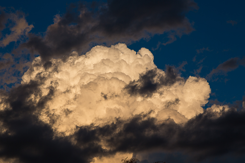
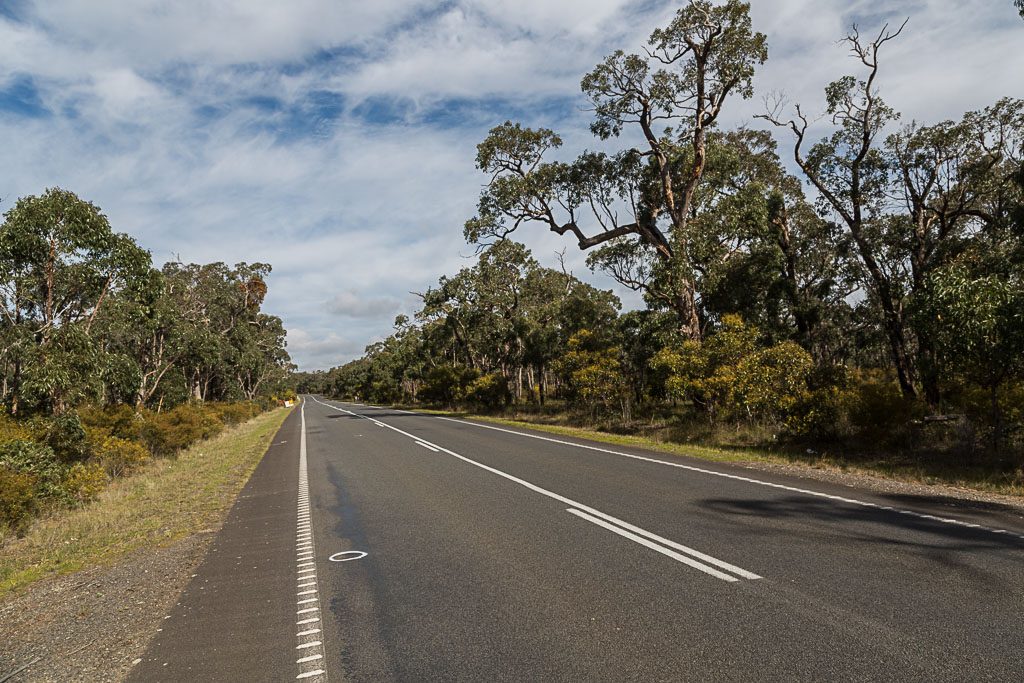
Do you like the cumulus cloud? I have to make an admission though. It has no relation to this post, as I only took it the other day. At home. Late afternoon, I peered outside and saw a full strength, fluffy cloud right in front of me, so I wandered outside and took the photo from the front yard. Luckily, I didn’t have to get kitted up, as my interior clothing is no different to my standard photography outfit. A t-shirt that appears to have been used as a sail on the Kon-Tiki, tracksuit pants circa 1946 and a pair of ankle-high ugg boots.
Anyway, back to the hike. At 17 km, Little River Camp to Old Mill Camp, Burchell Trail in the Brisbane Ranges National Park is the longest leg of this three day walk. Then again, all is not how it first appears. At Little River Camp, there’s a sign saying, ‘Old Mill 17 km 6 hours’. I’m mentioning this for a reason, so remember it and I’ll come back to it later.
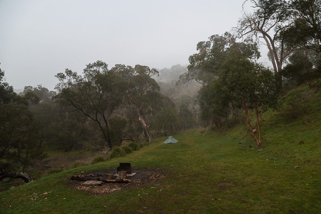
The previous evening, I’d set up at Little River under sunny skies, which had a hint of warmth about them. It was August though, so once the evening set in, a cold night ensued. Yet again, I fought a losing battle with condensation in the tent. With not a breath of wind, it felt quite oppressive, so I got up a few times and attempted to reduce the clammy interior. Eventually, I surrendered, as no amount of opening doors or vents seemed to help. I considered holding my breath for about six hours, as I’m sure that would have helped, but I was concerned that I’d wake up dead in the morning. Don’t you hate it when that happens? Anyway, my failure made more sense in daylight. If you compare my campsite photo from the previous post, you can see a slight difference. The entire area was cloaked in mist.
It was chilly, but there was no way I’d move a little quicker and pack up early. I had an idea of what was to come, as I’d done parts of this leg as day walks in the past. No, the sign said six hours, so I aimed to leave at 10 am and use up every bit of the time Parks Vic advises. If I wandered into my destination at 4 pm, there would still be a few hours of daylight left to set up and eat.
On any hike, I’m the Grandmaster of taking time in the morning. On this occasion, I spent two hours having breakfast and packing up the tent. If you’re wondering how this could take so long, don’t expect an answer, as I’ve got no idea. Somehow it was 7.30 am and the next it was 10, as I finally put the pack on.
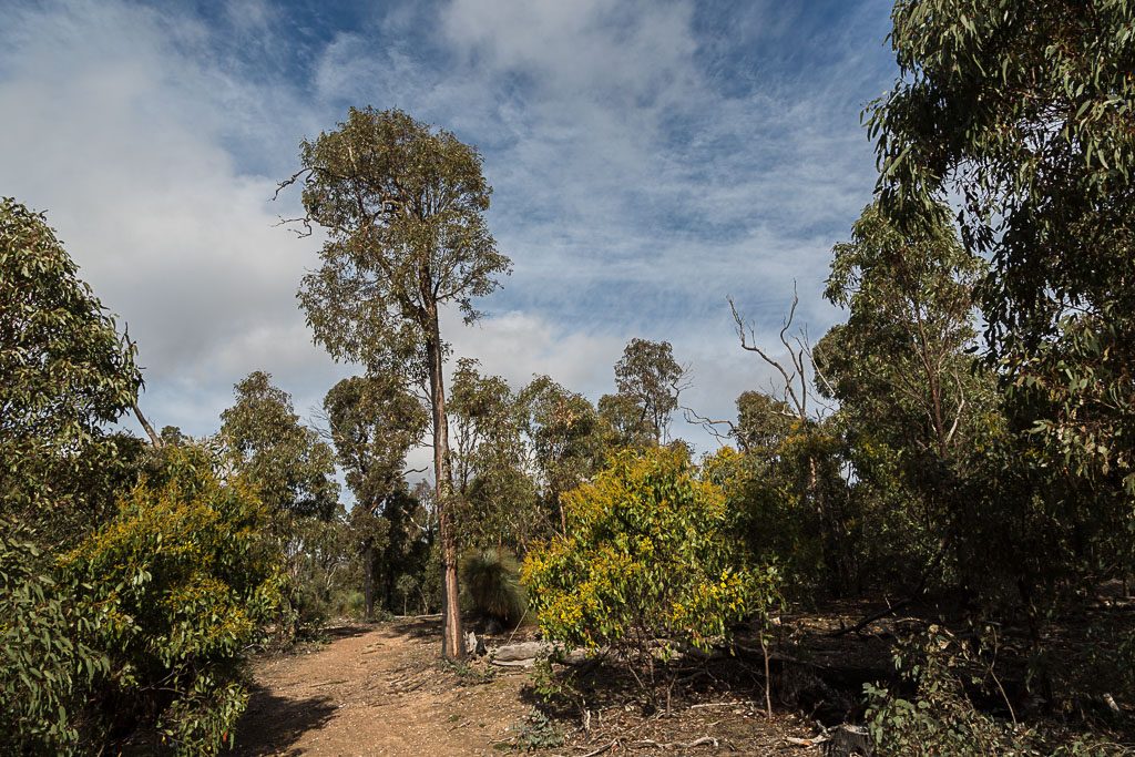
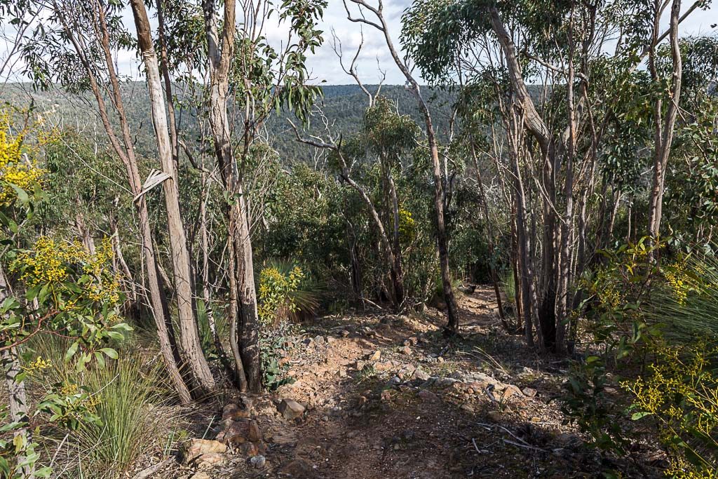
I was looking forward to these initial steps as well. I hadn’t walked this section alongside Little River, so there was a bit of anticipation. Although tempered with the thought I might be in for an ankle-twisting time on the rocky river bed. The track led away from the camp and straight onto the river bank. Oh, just in case you’ve forgotten, there’s the sign I mentioned earlier.
‘OLD MILL
17 KM
6 HRS’
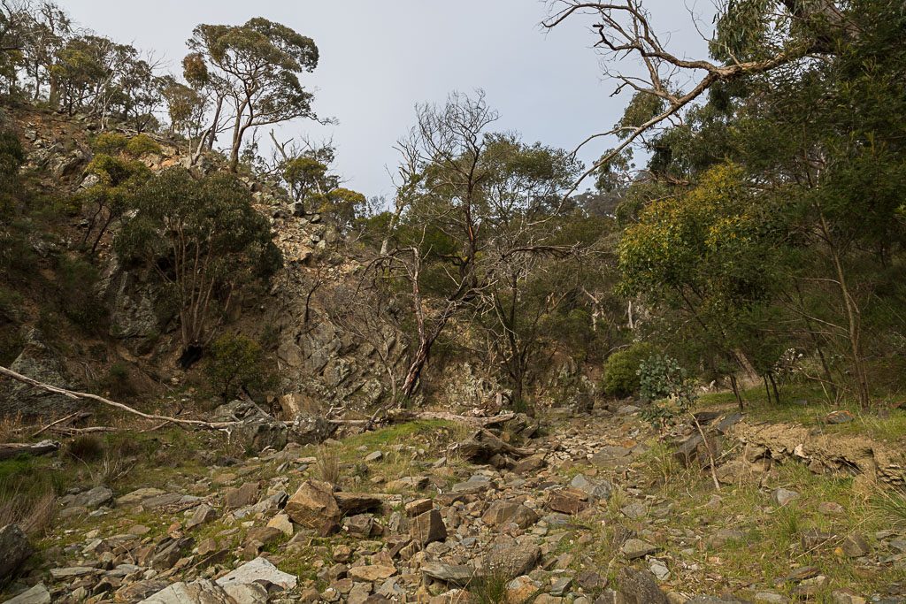
The way ahead was suitably rocky…
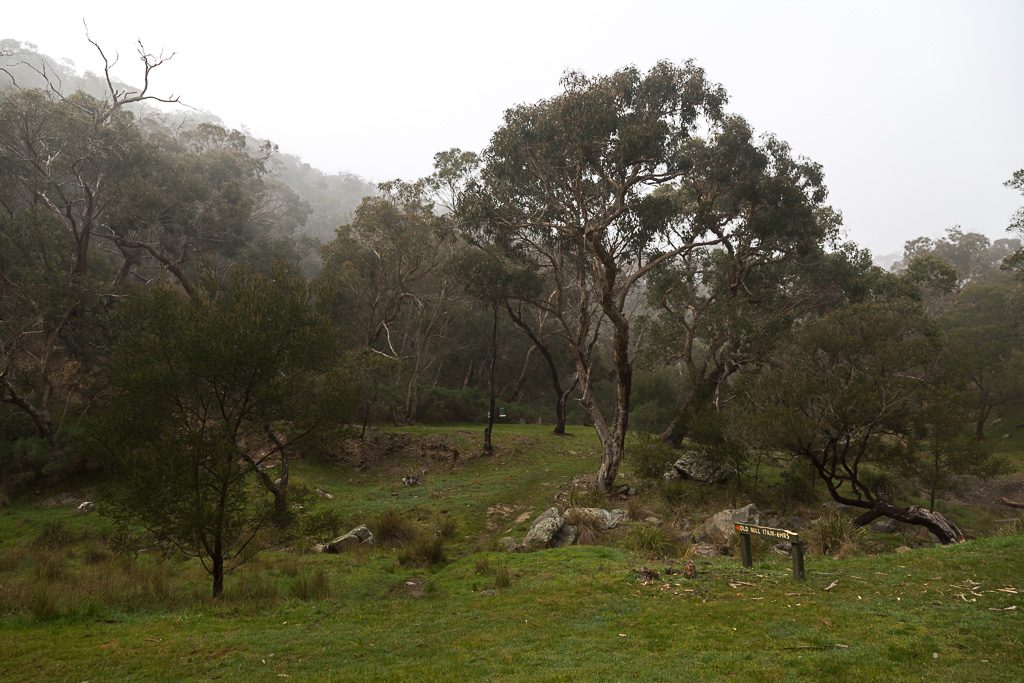
…but, that wasn’t the interesting thing. I’m not sure how, but the cloak of mist seemed to clear in about 0.7 seconds, revealing fine clouds and blue sky.
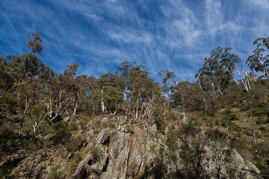
Mm… ‘Fine clouds’ is a pretty crap description, so for a formal identification I consulted my ‘Cloud Collector’s Handbook’, courtesy of the Cloud Appreciation Society. After some eyeball rubbing and head scratching I’ve concluded those clouds are Cirrus Fibratus. Or Cirrostratus. Then again, they could be Cirrocumulus. I think.
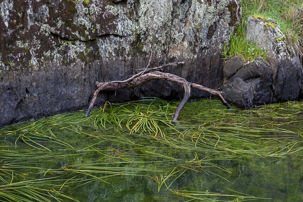
At ground level, other than the occasional rock pool, the river was dry. In theory, if you’d run out of water, you could try some of this stuff? I’m not sure of the physical outcome though. In some places you’ll find pure spring water from the ground, but this pool was more of the Chernobyl variety. Who knows though? One sip and you might walk faster, due to the consequences of growing extra limbs as a result of the inevitable mutation.
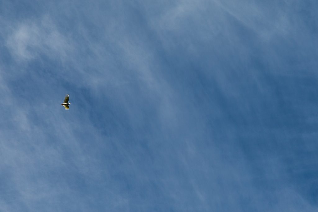
Up above, the peace and quiet was interrupted by a raucous cockatoo flying by…
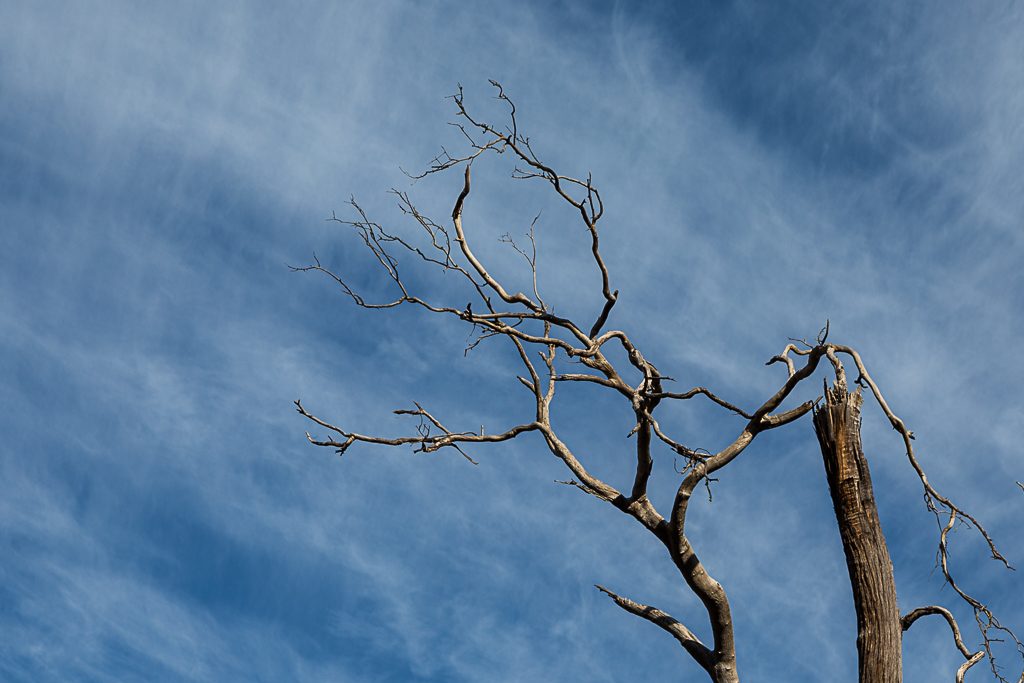
…and whilst I was bent over backwards taking the last photo, I noticed these bare branches, which stood out against whatever those clouds were I mentioned earlier.
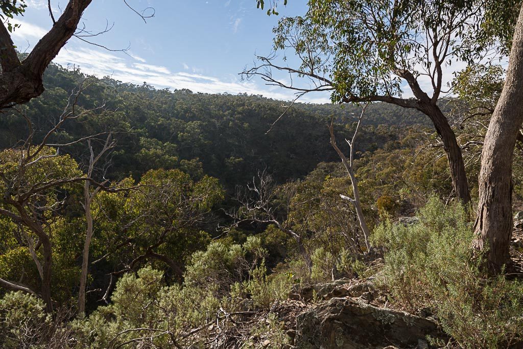
My early fears of twisting an ankle were unfounded, as the track easily followed the river. In hindsight, I think this section was the best part of the day. The high walls around Little River are amphitheatre-like.
Guess what though? Just as I was soaking up the atmosphere, it was all over. The track meandered away from the river and immediately began to climb. Initially, I thought it was temporary, but unfortunately that was it for the riverbank walking. I was now heading up Griffen Hill.
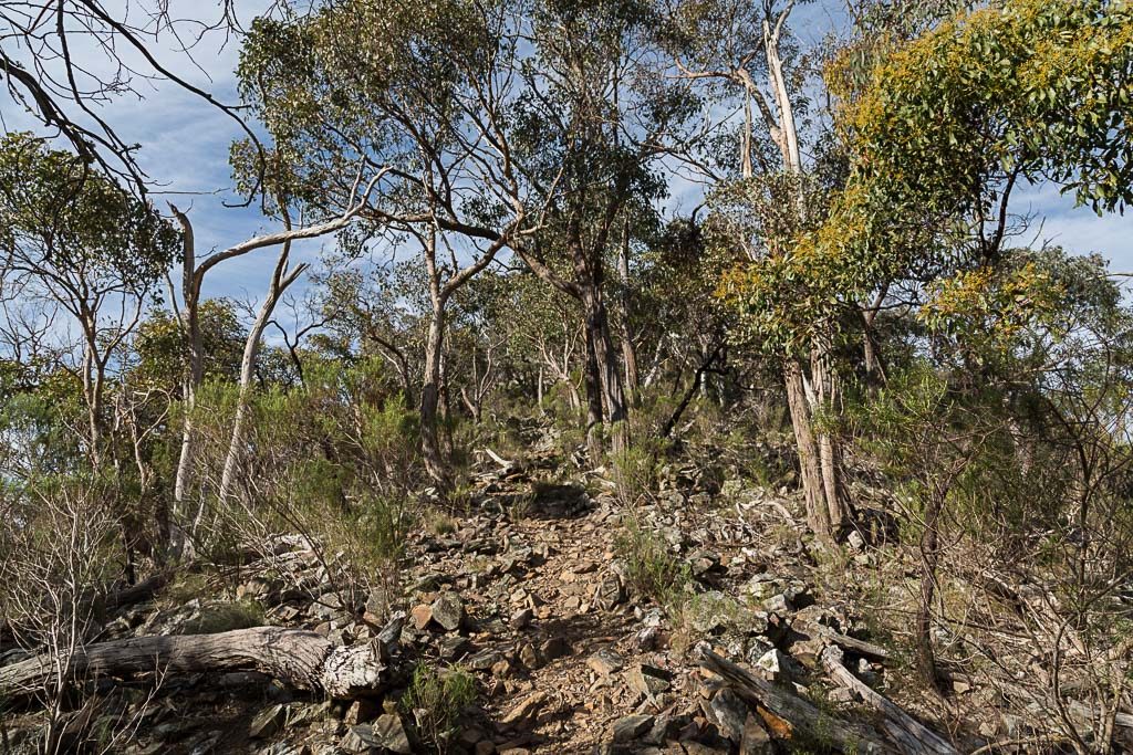
I chugged up the hill like a derailed, obese locomotive. Leaving the amphitheatre feel behind…
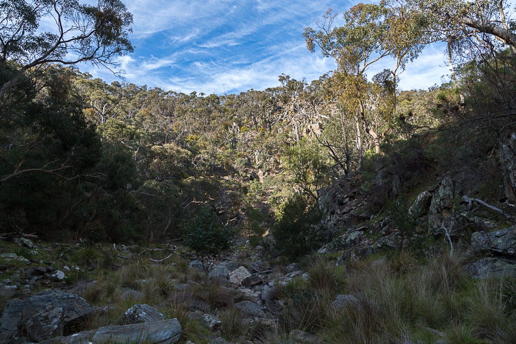
…and returned to usual sights. The ubiquitous grass trees in different shades of health.
After climbing on a rocky track, the terrain eventually became easier on my lungs and the path was wider.
In the last post, I mentioned how phytophthora cinnamomi had taken a toll on the grass trees in the Brisbane Ranges National Park. Then, I went on to say in a comment that I hadn’t seen any boot cleaning stations on the walk. Well, clearly I’d lost the plot, as I happen to have a photo where I’m standing in one. I literally have no recollection of it, but it must be there, as here’s my foot doing some cleaning.
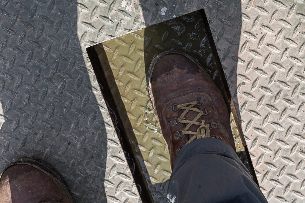
The blog is handy for recording things that might be lost to memory. Sure, good in theory, but I didn’t think I’d forget something that only happened a month ago.
Back to the walk and there’s not a lot going on. The foot track met Switch Road and then I was wandering on the world’s widest path.
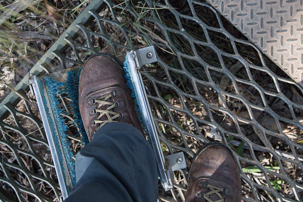
After a few kilometres the road was left and the track led off into the bush with a steepish descent to Lower Stoney Creek Reservoir. Oh, the boot cleaning station I’d mentioned a minute ago wasn’t the first. Just to rub it into my clearly crap memory, before descending, I went through another one. Either extreme daydreaming was to blame or early Alzheimer’s.
Now though, the track dropped steeply and essentially the camera was put away, as I needed to concentrate. A loose, rocky surface was guaranteed to hurt my creaky knees, so I took it slowly, as the track zig-zagged down the hill.
I was glad to reach level ground, as the descent had threatened an implosion of my knees. Now I was on familiar ground. Back in 2014, I’d visited the area near the reservoir during the Ted Errey Walk. Hang on, in that old post, there are photos of me using those boot cleaning stations. Why do I take the same photo when using them? From now on, I will no longer take photos of my boot in a brush. Someone has to make a stand about something.
Anyway, moving on, the track began to climb as it skirted the reservoir. This chair may have been there last time I visited, but I didn’t remember it. Then again, I’ve given you an example of my memory.
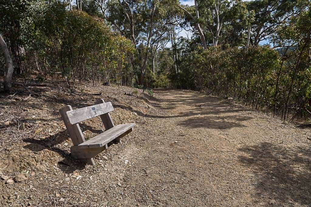
This main thing is, if someone builds a chair, then I’ll stop to sit on it. No matter how tired I am. In the end, this was my only break for the day as I parked on this seat for about 20 minutes.
Sitting back, it was quite relaxing in the winter sun. I could have stayed longer, but with the short day, I still had a number of kilometres to get through, so I got up and trudged on.
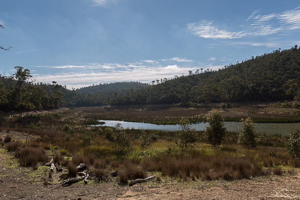
Briefly though, I took a detour down to the edge of the Lower Stoney Creek Reservoir. It seemed to be drier than I’d expected.
There was now a steady climb…
…as the track led up to the Geelong-Ballan Road, which I crossed.
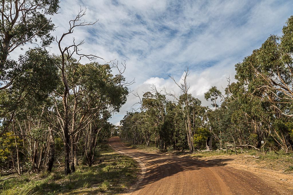
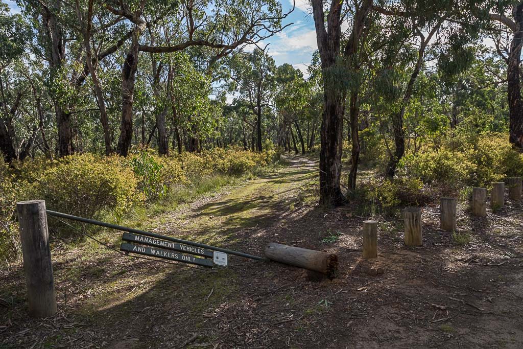
Once over the road, I picked up Furze Track, which would lead me all the way to Old Mill Camp. As is the way, it’s common in parks to see damaged gates. This one wasn’t any different.
Wandering on, there wasn’t a hill to be seen, so I was making good time and expected to easily reach camp by 4 pm. Can you imagine my surprise then, when I saw this.
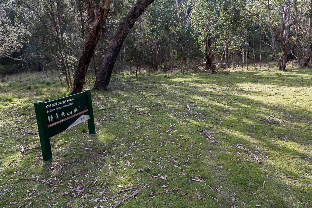
At 2.22 pm.
Huh? Why was I at camp so early? More importantly, why was the GPS saying I’d only walked 12.91 km of the supposedly 17 km for the day? Talk about confusion, but at least I had a table and chair to sit at to try and work things out.
I assumed I’d inadvertently skipped part of the track, but after checking the map and then my route on the GPS, it was the same. This made sense, as all day I’d followed the prominent Burchell Trail markers. Now and again, distances from signage compared to GPS can be out, but not by 4 km.
Had my GPS thrown a wobbly? That’s possible, but it doesn’t account for the time taken for the day. I know my pace and I was on track to use the full six hours that were advised. No, my only explanation is the signage reflects a track that has since been re-routed. Maybe. I know the Burchell Trail has been realigned, so I assume this accounts for the discrepancy. Sure, but could they inform the cartographers? I was carrying the second edition of the Meridian Maps, Brisbane Ranges National Park, and it details the longer distance.
I use a Gamin eTrex 30 and I enquired what Parks Vic use to measure distances with. They sent me a photo of their current device. Ah, now it’s all starting to make sense.
Whatever the answer, I can tell you now. The leg between Little River Camp and Old Mill Camp, Burchell Trail is 13 km rather than 17. I’m happy to be corrected though.
Anyway, the bonus of an early finish is I had plenty of time to set up and get some food on the go. I’d seen no one all day, but late in the afternoon, I became aware of the distinctly annoying noise of 2-stroke motorbikes in close vicinity. Their abrasive sound gradually got closer, until two blokes appeared at the camp on their bikes. They stopped for a brief chat and sure they were friendly enough, but roaring motorbikes weren’t what I expected to see. Are they even allowed in the Brisbane Ranges? I’d say doubtful, but it might explain why so many gates have been damaged to allow access.
Soon though, they took off and I was left to tick off the remaining hours of daylight. Old Mill Camp is in a protected area from the weather, but this meant another freezing night was coming up. That’s also is it for this post. One more to go and this walk is done. Oh, here’s the GPS route as proof that the day is a lot shorter than what the signage suggests.
Until next time!

Hey, Hey it looks like the Parks Vic people use the same GPS as me, mine’s wildly over optimistic – to the point were the figures are almost ridiculous sometimes. Trail bikes are the bastard off spring of 4wd’s in my opinion, I have a similar theory with jet skis and speed boats.
Hey, did I get my comment in before Jane?
I think even my budget could afford the GPS being used by Parks Vic. Budget cuts, hey. A four kilometre difference? That’s an impressive discrepancy. I’m glad it was 4 km shorter rather than longer!
Loved the cumulus cloud shot and other wispy sky action going on. I wish I was more knowledgeable about clouds. I know the basic types and then I start to get confused and give up.
I think you can be forgiven for forgetting the foot wash stations. After the hundreds (or is it thousands?!) of walks you’ve done and often repeated, they must all start to blend into one!
Griffen Hill looks impressive. I don’t think I’d be chugging up it like a locomotive. More like crawling and passing out. Thanks for the laughs again. 🙂
Great recount, Greg. Loving the clouds?
Yeah, the distance discrepancy for this day is weird. It’s like the gospel distance, as it’s the same on every bit of info for this walk. Parks Vic, the map and other blogs. It’s a little bonkers, as there’s no way this leg is 17 km. Anyway, as you say, it’s reflected at other places as well. Off the top of my head, the Croajingolong is one of the worst.
Yeah, it’s always interesting how people like to interact with the bush and environment. Instead of peace and quiet, they use the tranquillity to make as much noise as possible!
Well done. You were before Jane 🙂
No one realises the cost of this blog. That potato gag cost me money! First I had to pick out a flat potato and secondly I had to buy a marker that would write on a spud! All for a sight gag. No idea why I do it sometimes.
The thing about incorrect distance is I don’t mind if it’s shorter than intended! There’s a day to go though and guess how that worked out…?
No, Griffen Hill is a dud. There are no views and all it did was take me away from what I thought was the most interesting part of this days walk 🙂
Oh yeah, I had to put that cloud in, as it’s the best I’ve seen since I’ve been at my new place! Actually, probably the best I’ve seen in months and that’s counting any walks I’ve been on 🙂
Clouds are fantastic and seem to be a bit more interesting than the walk, the main highlight of which seems to be the divergent opinions of GPS. I think you may have taken one for the team here, because it has saved me any thoughts of doing it. What seems to affect GPS distances is the error in location can have you continuously jumping around by several metres. That seems to be less of a problem since they turned off the thing that made consumer level GPS less accurate than military GPS. Parks Victoria probably haven’t updated theirs.
Yeah, I always get distance variations, but this is the first for ages that’s been way out. All I did was follow the Burchell Trail markers, so there’s no area where I could have taken a shortcut. The GPS result reflects what’s on the Parks Vic map as well. I almost wanted to set the GPS recording to most often and rewalk this day to confirm 🙂
Having just done the Burchell Trail over the past weekend, I too thought that day 2 was rather short! My entire 3 day hike was only 33kms long, suggesting that day 2 was only 13 or so kms. Those scree hills are a killer after casually strolling through the flats! Love your blog, your anecdotes and most importantly it inspires me to get out there for walks myself. Thanks!
Oh, it’s good to hear I’m not the only one who thought day 2 was way out in distance compared to notes and signage. Like I wrote, I can only think the mythical 17 km relates to a route that’s since been realigned. If you’re like me, all I did was follow the Burchell Trail signs religiously and with an end result of 12.91 km instead of 17 🙂 As it is, my longest day for the entire hike was the first one where I took the back roads from the end to get to the official start line 🙂
Nice potato shoot..i mean photo shoot. Seriously Greg you should give up your day job.
Anyway last weekend we walked from Fridays to Old Mill and spent the night there. Water tank at old mill is 90 % full. Nice site.
While the walk is fairly well signposted, i’d recommend taking a meridian map. In some places the arrowed posts have been broken off. Also 50 metres from the fridays campground there is a fork with no indication of which direction.(Go right)
While the sign says this leg should take 3.5 hours, it took us 5.5. This included about an hour for stops. We’re a fairly fit couple in our 50’s and were carrying about 15kg each. Temp was low 20’s.
With a variety of tracks/roads in the vicinity, there is the option of returning via a shorter route which is what we did on the second day.
With the recent rains, it’s looking fairly green. Pools of stagnant water at various spots. A couple of echidnas and plenty of birdlife especially early morning.
**Parks vic sign still says Old Mill to Little river is 17km/6 hour!
Highly recommend anyone doing this walk before the weekends get too hot.
Oh and the highlight? About 20 minutes in a middle aged bloke appeared wearing full camo gear.. including bulletproof vest. He said he was with the air force reserve?? Just doing a solo walk to get his fitness up. Then about 3 hours later we crossed paths again(He was travelling along an intersecting gravel road). I just had to ask for a photo to which he said “would you like a selfie”??!! Such ego.
Anyway he was the only person we saw on the walk. Just saying.
Thanks for the write up. I assume that dodgy 17 km sign relates to a previous track that maybe has been re-routed since. No idea, but it’s definitely not 17! It’s not a bad walk and like you, didn’t see anyone other than the blokes on the motorbikes. Leaving a car at the end and getting back to the start while walking solo didn’t bother me either. Once I found that route along the roads it was all quite painless. Thanks!