In starting off, I should mention my blog needs a bit of sprucing up. First of all, I hope you’ve noticed I’ve increased the size of the pictures on this page to ‘slightly monstrous’. It’s the result of the mental scarring endless Google image searches on individual topics that return postage size photos has caused. Gnome sized pictures worked back in 1995 when everyone was on dial up internet, but I’m afraid it’s time to move on.
This is still an experiment, although I’m already impressed by the fact I can see the pictures without my glasses on. If anyone reading gets too overwhelmed and finds themselves collapsing due to ‘face slapping photo size’, I’d appreciate if you’d let me know. Oh yeah, if by some chance you didn’t notice the size change, I can refer you to a decent optometrist if you’d like?
How about some walking as well? I can say that’s been happening, but I’ve dithered a little with this entry over the past week. The reason being is nothing untoward happened, which makes for a thoroughly casual write up.
The disclaimer to this post is there are no major disasters and about the only thrill you may get is a photo of some blood. Mind you, it’s not just any old blood, it happens to be mine which is disappointing for me, but at least it gives me something to lure you into having a read. I’ll also saturate the entry with photos, which is my signature move when I’ve got nothing to write about.
Actually, this is a fantastic walk and I’ve been wanting to do it for some time. The essential statistics of the Big Walk, Mt Buffalo National Park are it’s a 10 km climb, with 1000 metres gained, to the top of Mt Buffalo. Sounds like a worthy workout? Well, it would want to deliver, seeing how it’s officially named the ‘Big Walk’.
I looked at doing it last year, but the area received some crazy rainfall, which caused the hike to be closed for months on end. It eventually began to reopen, but only the upper segments, cutting out a lot of the initial climbing. Hang on, how can it be a ‘Big Walk’ if there’s minimal painful, climbing stuff? I remember looking at the reopened section on the map and uttering, “They’ve got to be kidding. That’s got to be renamed the ‘piss-poor walk’ I’m afraid.”
Anyway, the total walk has reopened, but there’s one other thing that’s put me off a little. It’s not a circuit, unless you power up to the top and then turn around and race back down the same path.
I’m officially a ‘circuit man’ and I don’t like repeating the same path on a hike, so I put this trip on the back-burner. That was until Smuffin entered the picture, when he told me he was spending a week at Bright, which is only a matter of minutes from the start of the walk. An arrangement to get picked up at the top was the perfect scenario and there was only one tricky part left to contend with. The weather.
Bright in summer is baking hot and the day of our walk was no exception. A forecast top of 35°C certainly had me worrying a little and if you remember my opening post of the year at Steiglitz, I don’t operate too well over 25°C.
The finishing point at Mt Buffalo is over 1300 metres high though and the forecast temperature up there was a far more respectable 20°C.
A simple plan was formulated. Carry a ton of water and get up the mountain quickly. It certainly wasn’t the most technical plan and my speed was always going to be sluggish, due to the intention of drought-proofing myself by carrying six litres of water.
I suppose we could have started the walk at an absurd early time such as 6 am? Sure, we’d beat the heat, but you’ve got to be kidding. It was Saturday morning and I needed to have my rest, so the agreement was to start no later than 10 am, which is a far more respectable hour.
Finally to finish this enormous post introduction off, I must mention there was quite a clan going. Besides old-stagers such as Ben, Smuffin and Anon, there were another couple who are also anonymous. In fact, there were so many anonymous people who don’t exist, but who were on the hike, even I can’t keep up. In the end, the result is we looked like a tour group at the start.
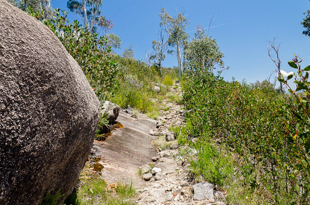
Finally starting, the walk begins at the Eurobin Creek picnic area. Right next to a hat on a pole. I don’t think the owner intended to leave his hat there, but if you see it you’re on the right track.
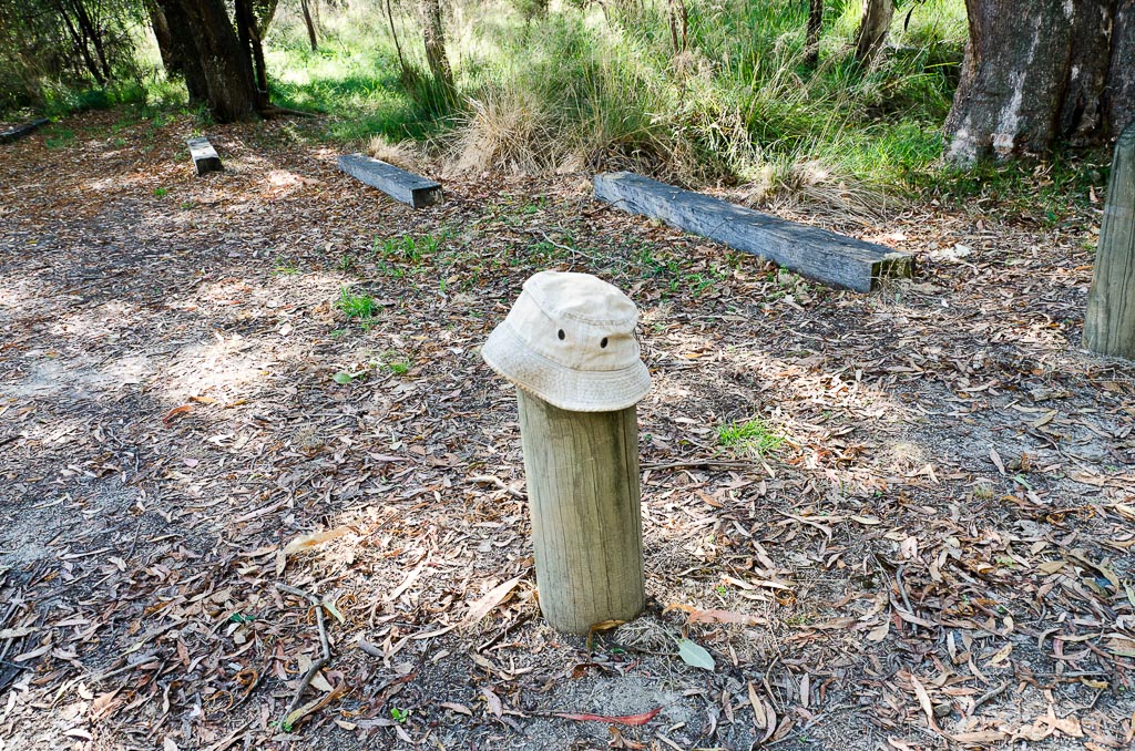
Follow the hat
The Park Victoria notes mention the first 2.7 km are the hardest, which is always an entertaining way to start. The track crosseed Eurobin Creek via a thrilling swing bridge, which left me feeling seasick. I’m not sure why it swayed so far sideways as I walked over it? Am I too heavy?
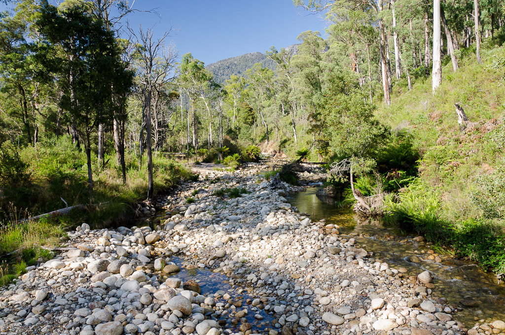
Eurobin Creek
Remember the mention of a few additional ‘Anon’s’ on this walk? Well, it was at about this point I last saw the newer anonymous members. I would guess at about 125 metres into the walk they slipped into turbo mode and vanished off up the hill. In fact, I never saw them again for the entire day. I guess I was the one with the camera though and on a nice sunny day it was always going to get a hiding.
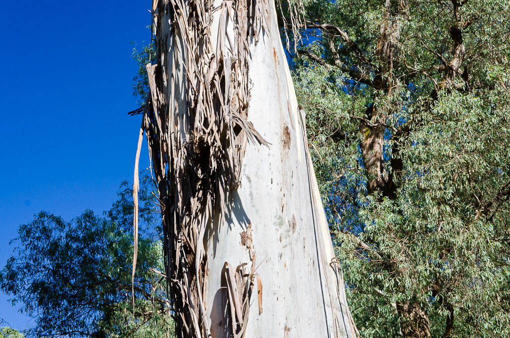
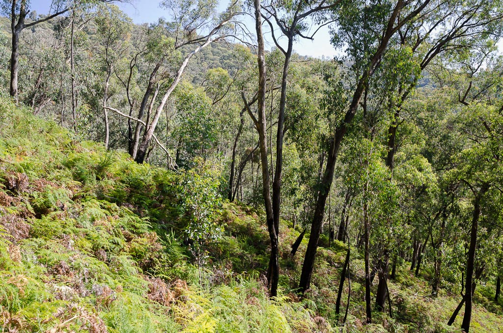
The notes were actually quite correct. It’s a ‘steady steep’ climb, but not ‘nut snapping’ steep, so I plodded along checking out the highlights along the way. There were plenty of monstrous Mountain Ash trees to keep me amused, although I still haven’t worked out the best way to look at them. With the group in the photo below, I leant so far backwards I was aware of my hair touching the heels of my shoes.
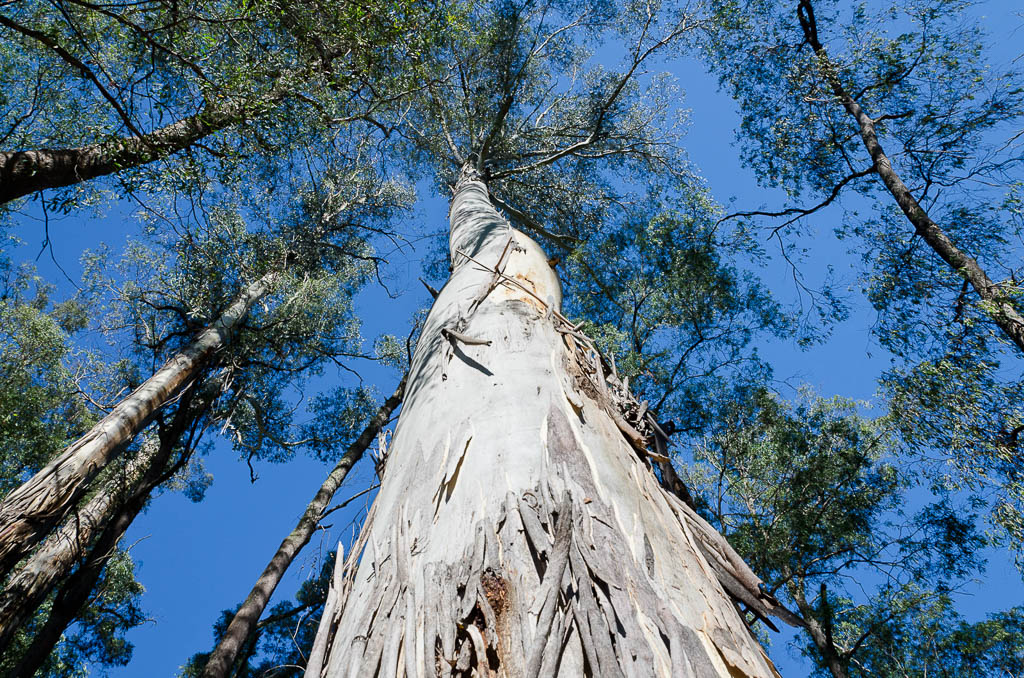
Mountain ash
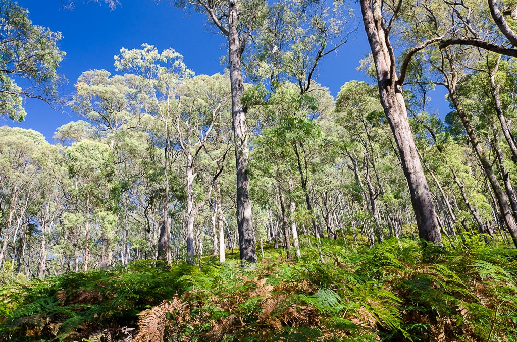
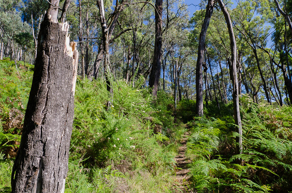
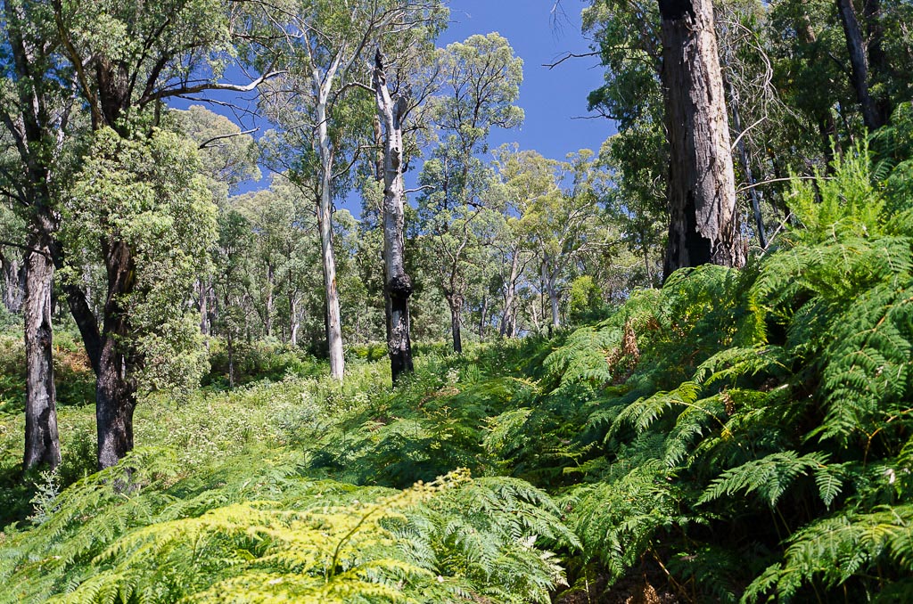
Certainly the base of the mountain is lush, with ferns aplenty and the shade made for enjoyable climbing.
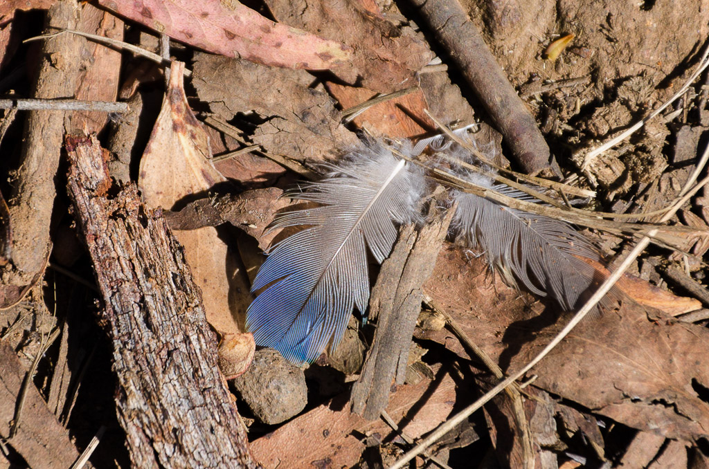
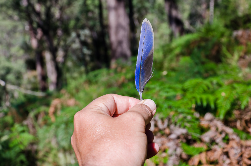
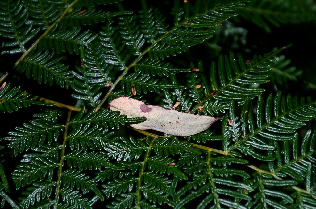
The odd feather here and there are rarely neglected as a photo opportunity.
Evidence of fire can be seen, with the last major blaze in the area being in 2006. It certainly doesn’t hinder the path in any way though.
Burnt tree stump on the Big Walk
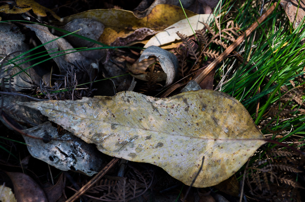
You should know by now I’ve got a large leaf fetish, but I had a dilemma regarding photographing them, as there were way too many to choose from. Yes I know, I’m fully aware it’s not the biggest problem in the world.

The temperature was already quite warm, but the forest was keeping the sun off the skin. It may have created a bit of stifling humidity, but with six kilos of water in my backpack, I was able to replenish myself every 0.8 of a second or so.
Finally the magical, ‘it’s hard for the first 2.7 kms’ was reached at a four wheel drive track. I was with the traditional Anon at this stage and declared without looking at the map, “Turn right I reckon”. Guess what? It was left, which shows I really should check maps more often.
It was a bit odd not to have any signage at the one spot that required an indication of direction. Mm… Then again, I could have just looked at an enormous makeshift arrow created on the ground. Obviously someone else had the same problem as us. If you’re going to do this walk, remember to turn left when you hit the four wheel drive track.
Which way do you reckon?
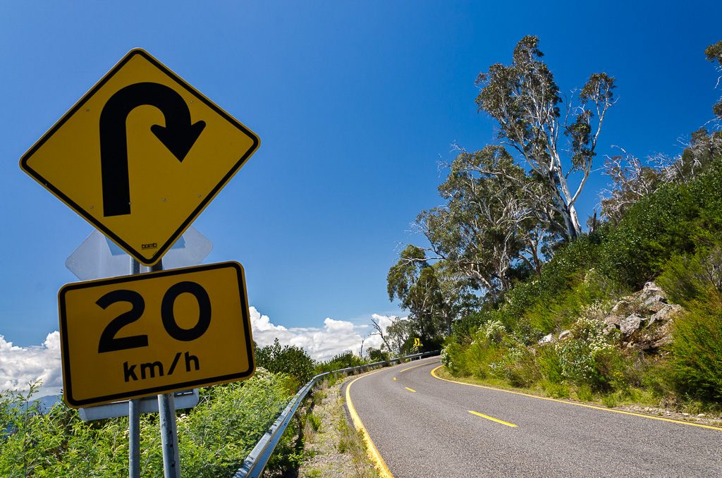
We walked along the track before meeting the road that goes to the top of Mount Buffalo. The road is crossed a few times during the walk, which is not too bad if you’ve had enough and want to bail out and look for a lift.
It was at a perfect hairpin as well and it reminded me the one thing missing in my camera armoury is a decent wide angle lens. I just missed out on the whole curve in the one photo.
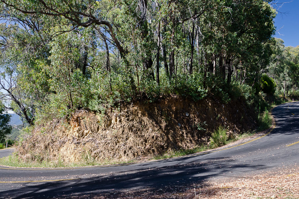
Mount Buffalo Road
There’s a short section of road before crossing over onto the Big Walk track, which continues on and now offers views down towards Porepunkah. Although still rising, the track is a lot more casual from this point and of course the ferns kept coming.
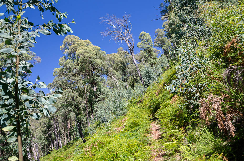
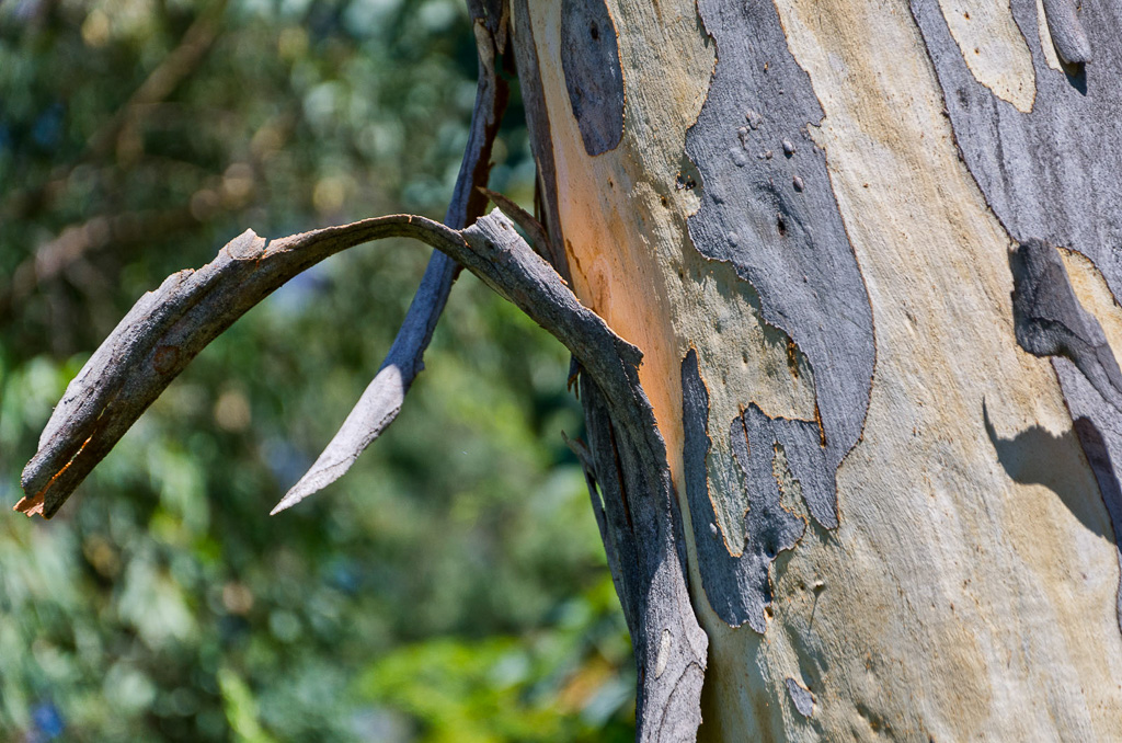
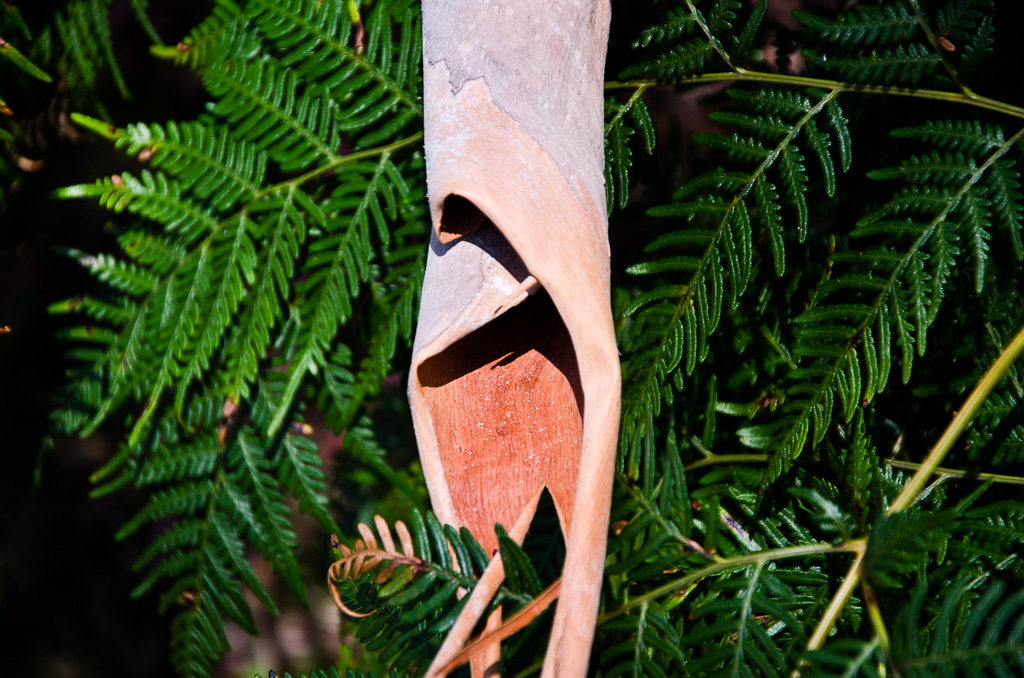
I also made sure I didn’t neglect the many trees with strips of bark dangling from them, along with the odd fallen leaf sitting among ferns.
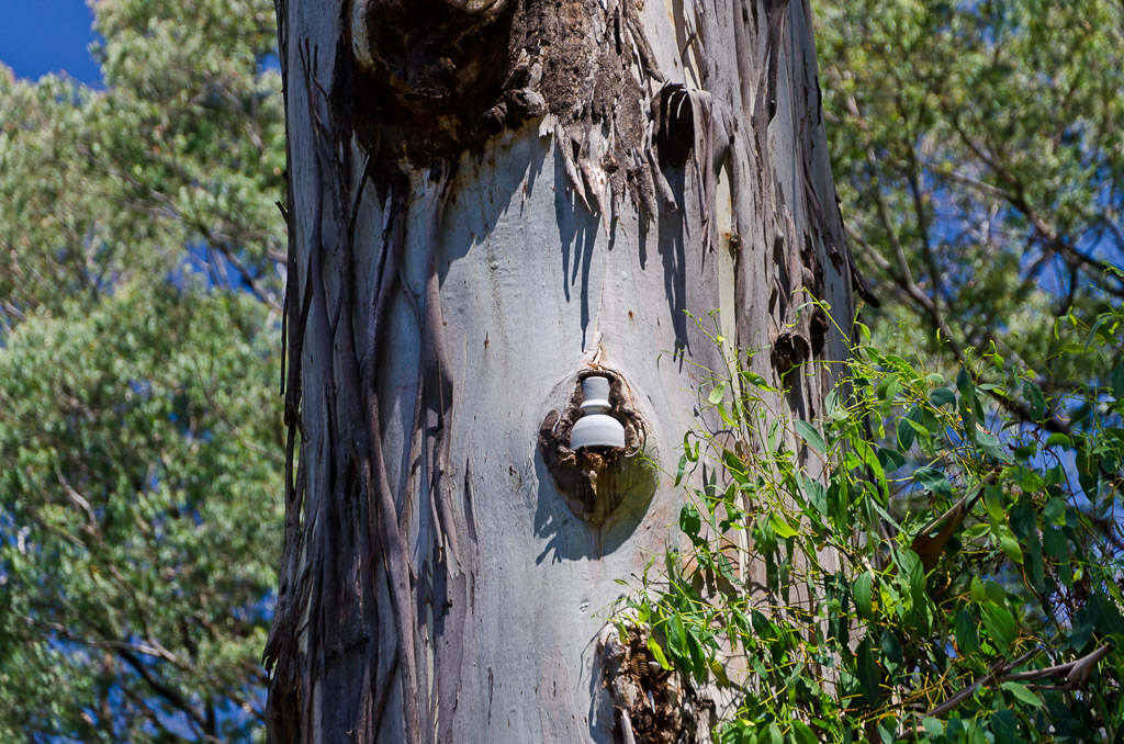
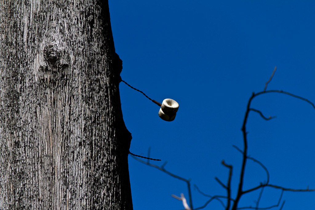
There’s not much going on is there? It can’t be helped though as I don’t create balls ups just for the entertainment of this blog. A bit more walking and the road is crossed again, which gave me a chance to have a quick rest. Some of the trees next to the road have old wire and insulators in them. Old phone lines? Electricity? I’m just crapping on now, as I’ve no idea.
When we stopped, I also noticed I’d lost the Parks Victoria handout and map, which I last remembered having back at the first road crossing. How could I lose it? Oh well, it wasn’t vital, as it was a matter of following an obvious path, but I’ve no idea how I dropped it. Come to think of it, it’s not the first map I’ve lost, so if you ever elect to come on a walk with me, I suggest you bring your own.
Back across the road, the track ventured up a path, hemmed in by ferns and trees.
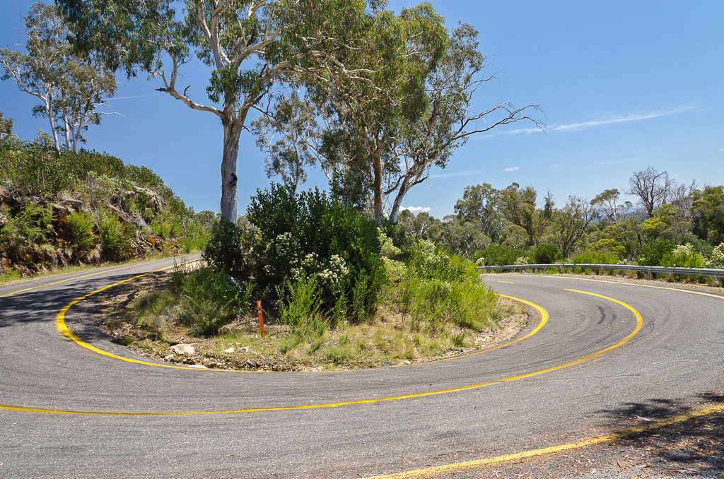
This casually continues on until guess what? Yep, the road is met again at a spot called ‘Mackeys Lookout’ and it was a chance for another photo of a perfect hairpin. Where’s my wide angle lens when I need it? I think I already know the answer, as it’s in the shop, waiting for me to buy it.
Mount Buffalo Road near Mackeys Lookout
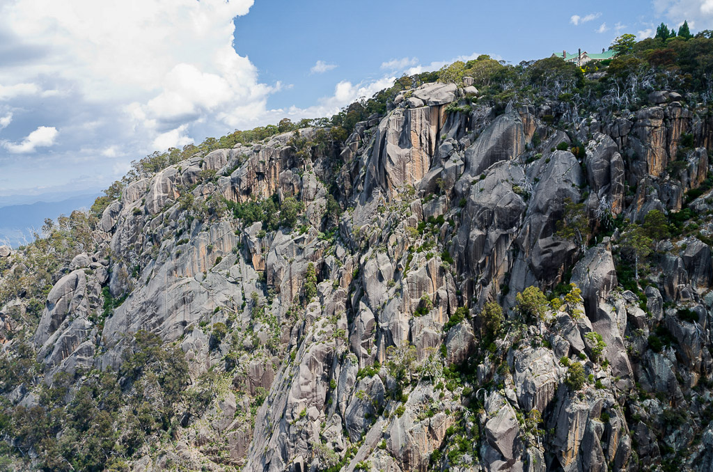
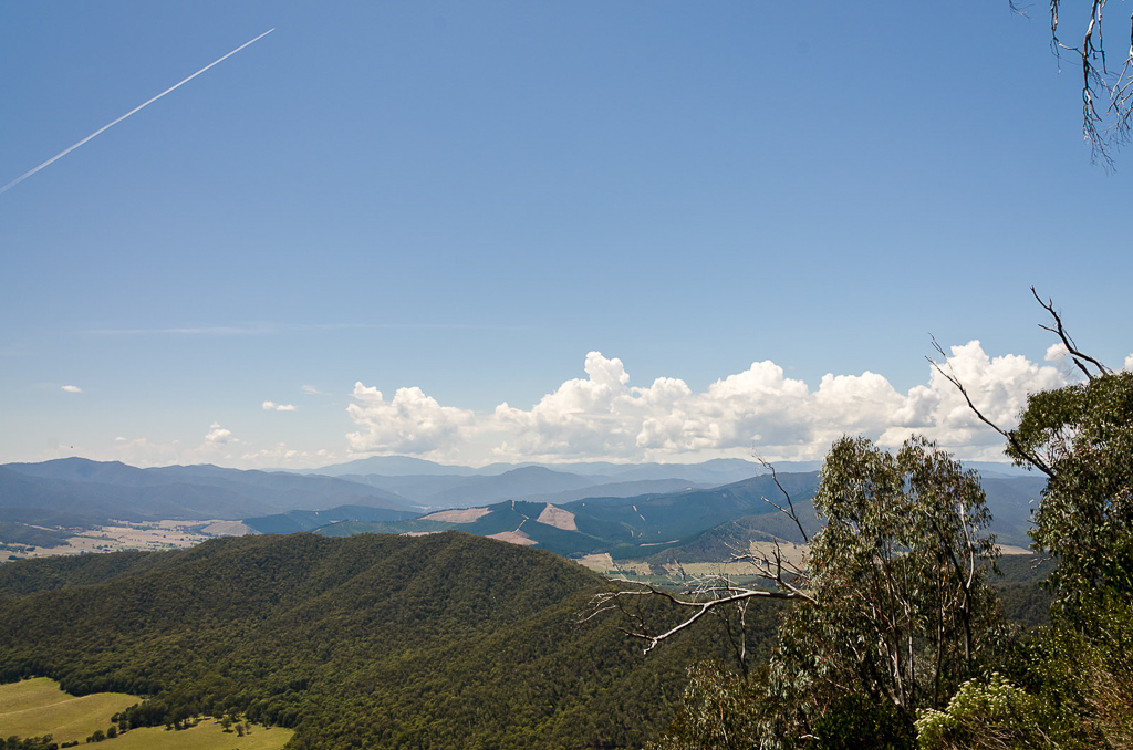
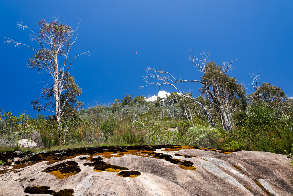
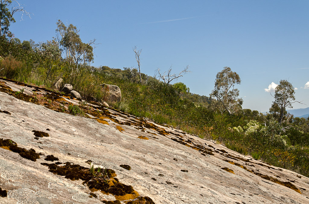
From the lookout, the terrain completely changes. Instead of ferns, there’s a section of granite slabs and assorted gum trees. The views are pretty spectacular here once out of the forest and we had intentions of stopping for a snack, but without shade, the sun was hurting. Reflecting off the granite was not helping things, so after a few photos we elected to keep moving.
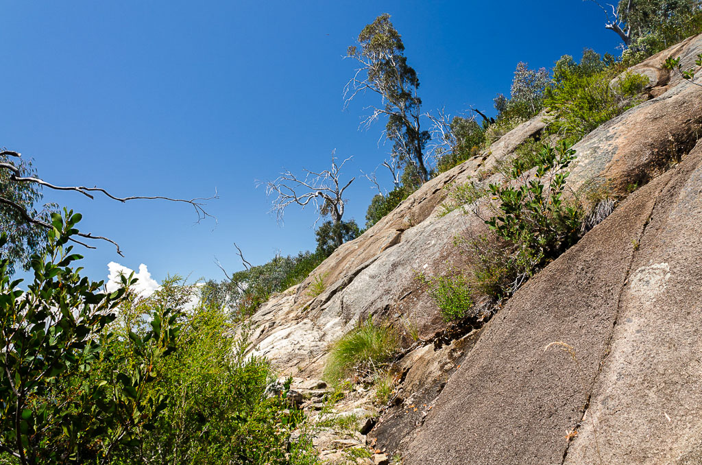
Granite slabs near Mackeys Lookout
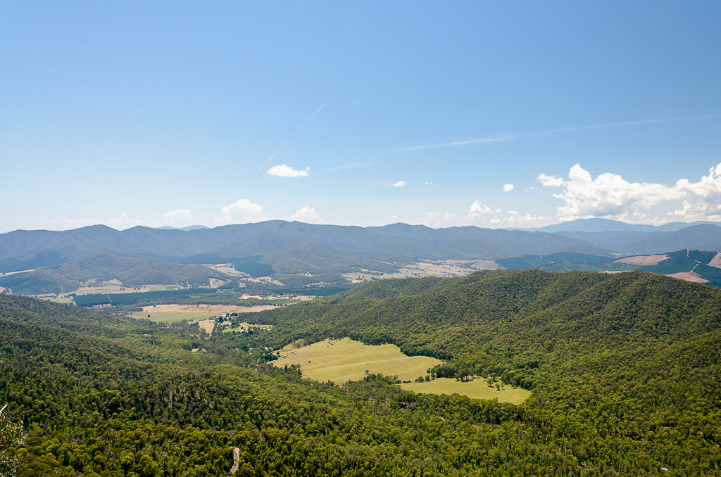
Looking down towards Porepunkah
The path began to zig-zag and objects above started to catch my eye. First of all, it was the traditional jet contrail…
…and then for something different, a paraglider casually cruising down from the top of Mt Buffalo into the valley below.
Paraglider above Mt Buffalo
If it wasn’t so bloody hot, I would have enjoyed this section a little more. The slabs of granite made a nice visual change from the forest areas.
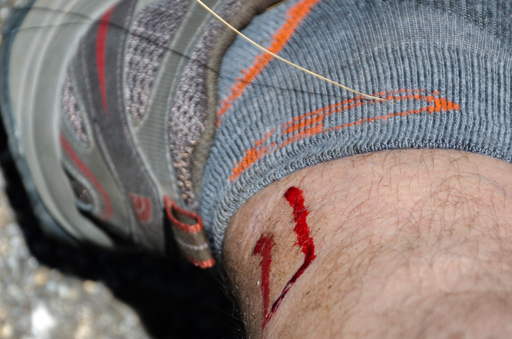
The half-way mark of the walk had been passed and I began to find the open section a little tiring. Anon and I decided it was time to stop, at the first available shady area for a snack and a rest. Trees were hard to find, but a huge boulder next to the track was pretty good for some shelter. A rest, some water and something to eat does wonders for the energy levels. Who would have thought?
There was another rare event on this hike. I was wearing shorts. That might sound pretty dull, until you realise I was only 16 years old when I last walked in shorts. I’ve never been a fan of the exposed leg business and I haven’t changed my mind as I noticed a cut on my leg.
I’ve no idea what caused it, but the Parks Victoria map did make a mention of the open section we’d passed through,
“…watch for sharp Saw Sedge plants along side…”.
So, there you go, I’ll blame the sedge.
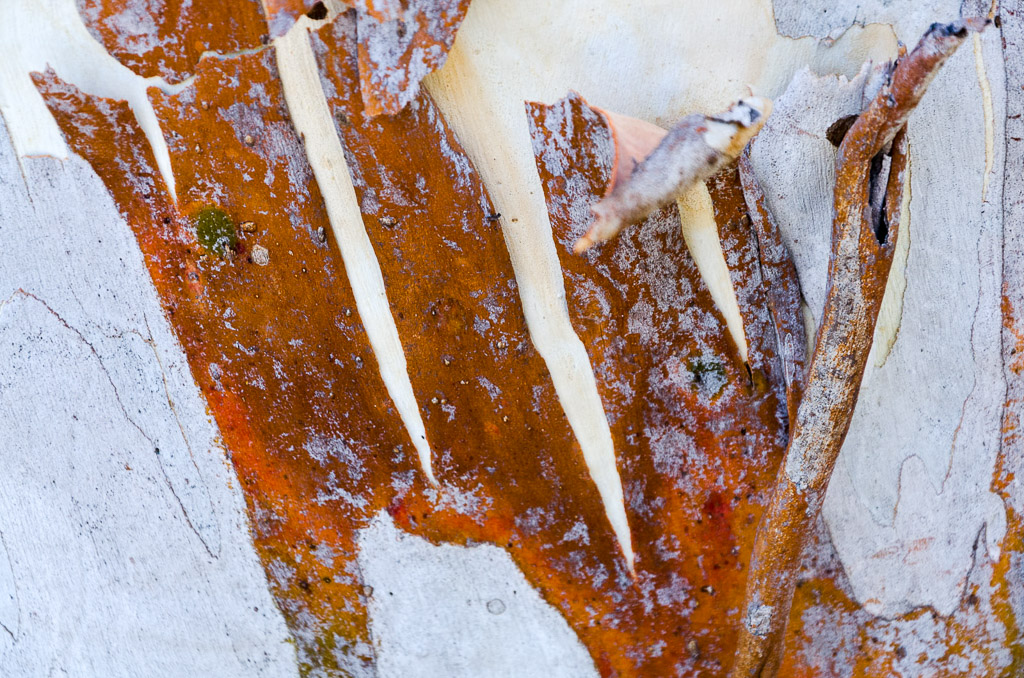
We eventually moved on and continued up, with our target being Marriotts Lookout. There was a chance to admire the bright colours in the bark of the trees on the way.
We reached Marriotts Lookout and there’s a great view into the gorge below Mt Buffalo. I noted one enormous boulder standing alone, but do you think I could find out anything about it? Most unusual rocks in the area have been given a name and off the top of my head there’s Egg Rock, the Monolith, Pulpits Rock, Leviathan and Split Rocks. I’m not sure how the one below missed out, but I’m giving it a name. It’s now the ‘Hudson’. Pretty funny huh?
Surely that huge rock has its own name?
By the way, do you realise I started writing this post four days ago and it’s still not done? I guess you don’t realise how time consuming writing this crap can be. I think blogging will send me to an early grave.
Anyway, on our way again and as the track rises, it enters some much appreciated shade. It does enter some interesting areas, but I can’t mention them all, otherwise it’ll take me another four days to finish this post. I must mention what I found to be an interesting spot regarding the tree below.
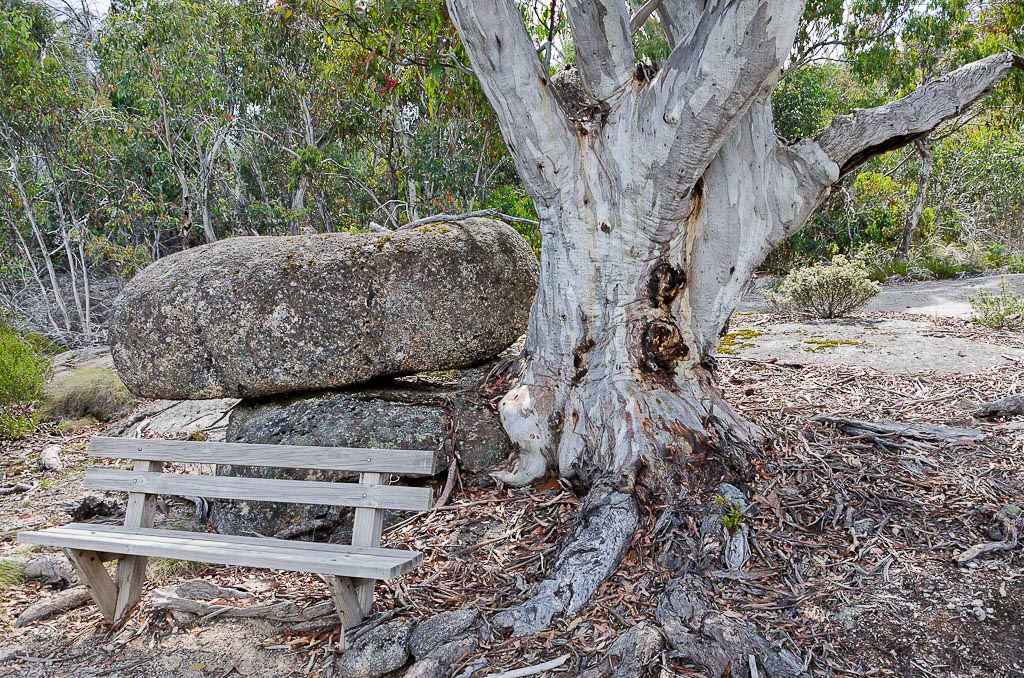
Rock, tree and chair. So?
There’s a sign nearby that has a comparison photo from the ‘ye olde’ days. The photo on the sign is absolute garbage and it took me a day to find a nice, clear picture online that would be worthy of this ‘fine’ blog.
I eventually found it on the State Library of Victoria website and as a result I lost half a day perusing other unrelated photos. It’s actually a great resource for old pictures I didn’t know existed and there’s plenty of the Mt Buffalo area, including the Monolith which kept me entertained. In fact I’m going to have to revisit my Monolith post at some point to include some present day comparisons to the old photos. Anyway, here’s the picture and its official caption is as follows,
‘Woman sitting in car in bush setting, dry stone wall in foreground’.
Author/Creator: Alice Manfield 1878 – 1962?. Date(s): (ca. 1900 – ca. 1930)
Mm… I think that sums it up, but check out the tree and rock. They’re still the same!
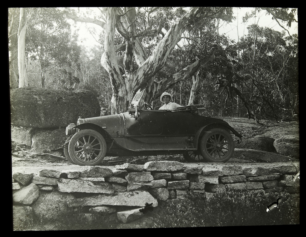
There you go. A bit of history to keep you going. It’s part of a collection of photos attributed to Alice Manfield who was a guide in the area between the 1890’s and 1930’s. The Wikipedia link I just provided gives a bit of information about her, but the photo also has the following caption.
‘Born in 1878, Alice Manfield was the daughter of local pioneer James Manfield, she gained a reputation as Guide Alice, delighting the first tourists to the remote and rugged plateau with her love and knowledge of the spectacular landscapes around the Gorge, as well as her preference for more practical home-made trouser suits”.
Did I just read that correctly? Trousers? The outrage! It’s lucky civilisation didn’t collapse when women decided to wear pants.
Anyway, although the walk continued up, the inclines were now quite respectable to the lungs. It was only a matter of a few kilometres to go, as the path circumvents the Gorge of Mt Buffalo. Actually, the Gorge is the most eminent part of Mt Buffalo when viewed from a distance, as it’s an enormous, vertical rock wall leading to the top. There were plenty of nice views through this section…
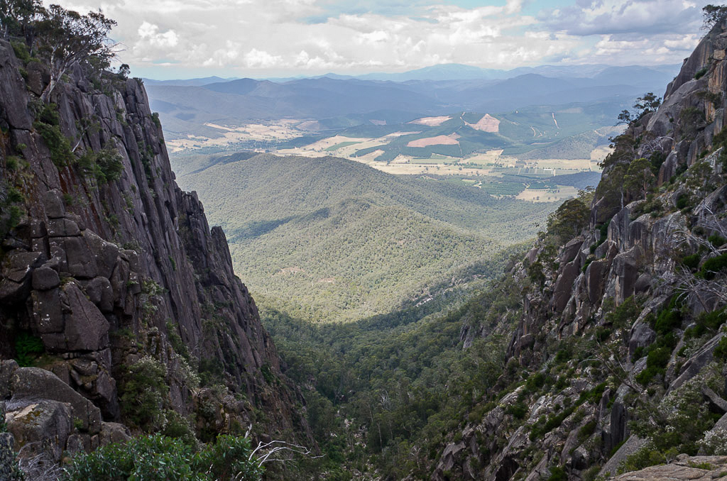
The Gorge
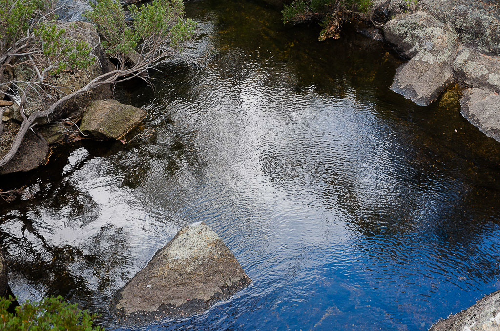
…including pools of water amongst the rocks.
Then before we knew it we were closing in on the official finish line at the Mt Buffalo Chalet. Firstly we passed the picnic area known as the ‘Oval’, complete with cricket pitch…
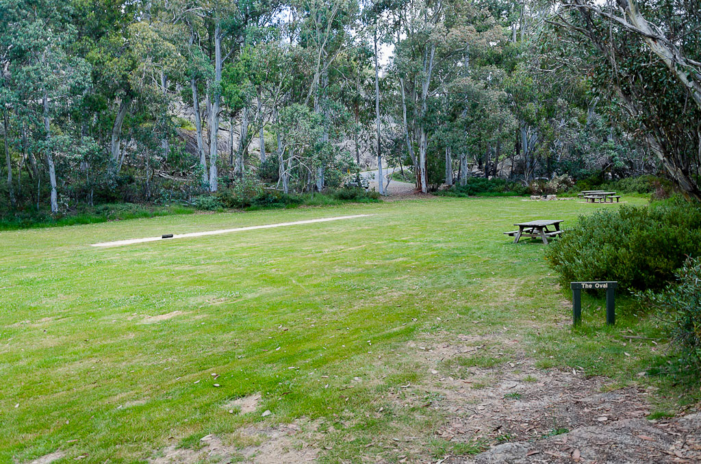
The Oval
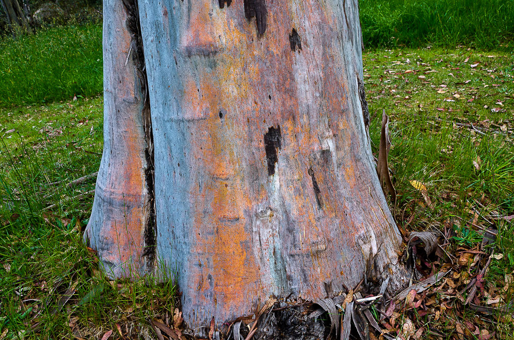
…plus, a great looking tree on the edge of the grass with vibrantly coloured bark.
Following the Oval we ran into Smuffin who’d finished the walk roughly a decade earlier. With the Chalet nearby…
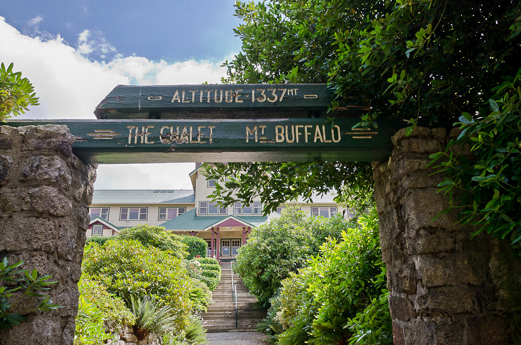
…the wander had officially ended.
Okay, in wrapping up, I think it’s worthy of the ‘Big Walk’ name and I think the statistics reflect the title. Even though it’s only 12.33 km in length, the total elevation climbed was 1,108 metres, which was a pretty solid days work.
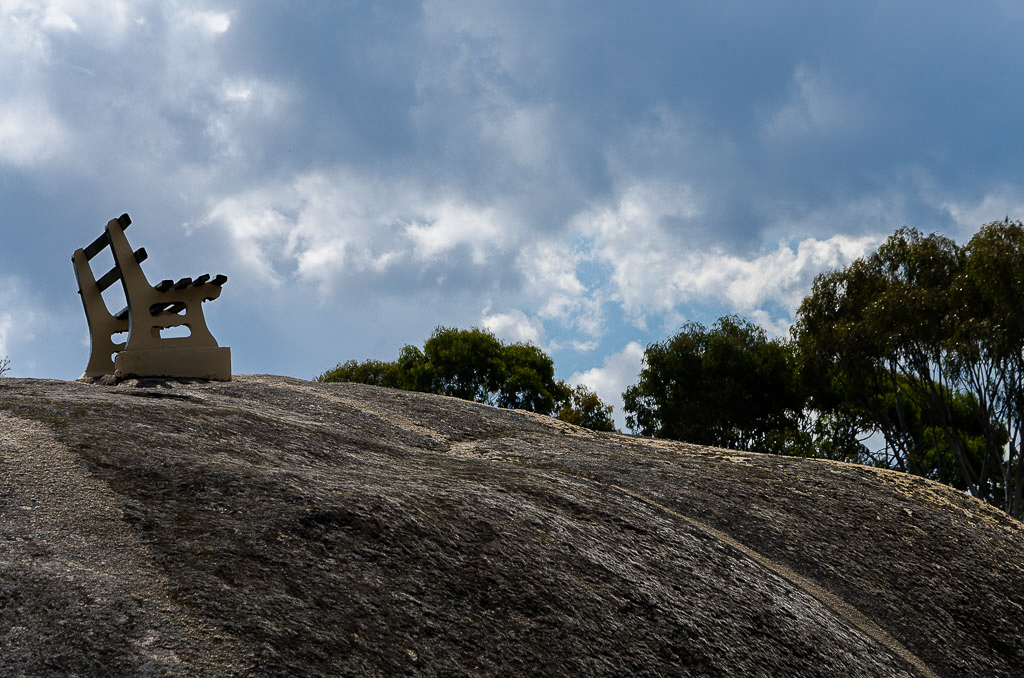
In the end I didn’t need my six litres of water after all, as a check at the top revealed I’d only drunk five litres. Plenty left! Is there anything else? Probably, but as this has been the eternal post I’ll publish it and if anything pops up in the next few days I’ll amend it. I might finish off with a lonely lookout seat near the chalet.

Great post, with some nice appealing (to me) sunshine, but did I read that old photo caption right? Was a 30-decade period the best they could narrow the date down to?! How do I get a job as a researcher with that mob?
Great to know that splendid old tree and its companion boulder have sat there in peace all that time, though. This really is a spectacular-looking area, Greg – and the big photos are sensational, really lifts the impact. As you know, I went through the same dilemma recently, but the big pix are here to stay.
And your post loaded instantly, no probs!
Like the larger photo format. I need to do this for my blog. Nice to see summer photos when we're in the dead of winter here in Oregon.
Judging by your frolic in the Korean snow, I thought you'd enjoy seeing some decent sunshine!
Thanks for the photo feedback, I do like the massive picture method and it's good to hear the page doesn't take a decade to load. Then again, you're not the best example with your South Korean broadband! I'd love to be a part of that lightning speed internet. Actually, your posts with the huge photos inspired me to go big. I like those big clear photos you have which stand out. Lots of Blogger blogs look the same in regards to sticking to the default settings. I'm likewise, but I'm hoping to change things a little.
Yes, I did look at the date range and think the same thing! Bloody hell, you could probably narrow the year down just by the model of the car I would have thought! I'd love a job like that within the library as well. Archiving old records would suit me fine!
I do like a 'then and now' comparison and it's great nothing has really changed at that particular spot. What I didn't mention is that I've no idea how that car got where it was, as it was some pretty rocky terrain leading up to that spot. I would never have thought a 'road' had been there before.
Now I've found the State Library Mt Buffalo collection of pictures, I'm going to print some out and return to the mountain and aim up some 'then and now' shots. I might even have to clamber up the Monolith again…
Thanks Linda. Yes, I do like how they came out. It puts pressure on the photos though. They have to be well and truly sharp from now on as any flaw will be on display! You should try a couple of posts with the big pics and just see if you like it. You've got some good photos on your blog that would really create some punch if they were nice and big 🙂
Sometimes I think I'd like to live somewhere that's hot in summer and snows in summer. Then again, one freezing cold winter and I might change my mind about that!
Nice work as always Greg. Any action at the chalet or was it all cobwebs and tumble weed?
Your walk may have been 'uneventful' but the photos are wonderful! And I do like the big format – you are more than welcome to give my blog a Spring clean whenever you have the time, I think it could do with it!
Andrea
Thanks Pini. The Chalet has been closed for a few years now. There's all sorts of stuff that pops up about it reopening, but nothing as yet. It's a shame and I wonder why its not viable? Mt Buffalo is a great spot to visit, but times have moved on I guess. It seems a little low for skiing, but apparently it still has a couple of chair lifts up there. I'd like to get up to the area in winter and try a bit of a walk in the snow. Maybe this year 🙂
Thanks! The thing is though, if a walk goes pear shaped then it's easier to write up. The smooth sailing hikes are a little trickier to come up with material!
I do like the larger pictures right now and I'll do a few more posts like that before having a bit of a review.
Oh yeah, blogs need some cleaning at times. I've looked at some of my old posts and there's all sorts of dead links and plain old things that are wrong! A bit time consuming to fix everything up though. Most stuff I'll probably leave as it is…
Hey Greg! I have started a new job with a Land management, revegetation and construction company in which we are contractors for Parks Victoria……so you may sometime in the future walk on tracks that I have built/maintained! 🙂
I have actually just got back from spending 2 days in Kinglake working on tracks up near Andrews Hill. Was a bit of a hoot!
Love the new larger photos too!
Hey there! Well, that does sound a little exciting! I can imagine it would be pretty hard work considering some of the regrowth out and about from the fires a few years ago. I'm planning a trip up to the Viking in a week and apparently it's a bit thick through there 🙂
I've been waiting for Kinglake to reopen as that used to be one of my favourite haunts. The Running Creek Track was the spot I'd go for running in the bush years ago. Still closed though, but hopefully within the next 6 months it'll reopen?
Thanks for the larger photo appreciation!
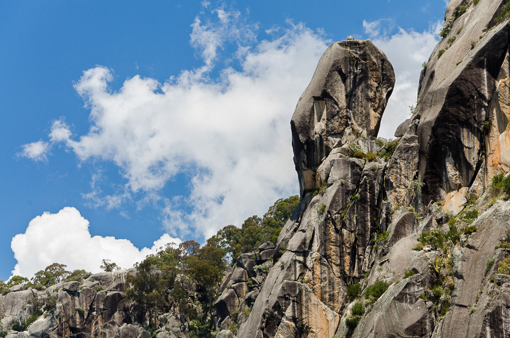
Hi Greg. Just for the record, that amazing pinnacle is called Queen Victoria Pinnacle and is a favourite with rockclimbers. The main rock climb that reaches the top of this buttress is called Prince Alberts Route, which is of course a play on words in a rather schoolboy humour kind of way.
Hi Glenn. Thanks for dropping by. As soon as I saw that rock I just knew it would have a name. It's a pity as I was going to run with the 'Hudson' for a little while longer! There's not many notable rocks up there that don't have some sort of title.
It's a fantastic area and even more so now that I've found those State Library photos! I will head up again for a few comparison shots when I get a chance.
School boy humour is actually quite handy when it comes to blogging. Next week I'm off to Mount Buggery which is going to be a cinch to write up with the traditional Brokeback Mountain comments 🙂
We're doing the Razor – Viking circuit, but with a twist. The plan is to head up via the Helicopter Spur. Although I don't think I need it, I'll be slipping over to your website shortly to grab the GPS reading. It can't hurt having it 🙂
The Big Walk? More like, The Big Report!
Thanks for all the detail HF…we’re doing this one imminently.
I loved this walk! Hope to do it again one day. I think all of my posts are the big report…? 🙂
Hey man, I did the Big Walk in early November 2016. I lugged a full pack up the track all the way up to Lake Catani and camped there for the night . The next day I walked back down with a pit stop at Rollason’s Falls. It was a great weekend of walking.It was not hot when I went up there. In fact it was about right in terms of air temperature.
Good work! That would have been a slog. It was stinking hot when we did our walk. I’d like to do something similar to your trip in the cooler months. At least there would be less water to carry 🙂